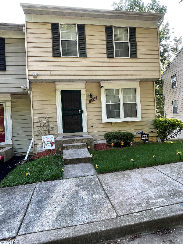
5632 Malvern Way
Capitol Heights, MD 20743
-
Bedrooms
3
-
Bathrooms
4
-
Square Feet
1,240 sq ft
-
Available
Available Mar 1
Highlight
- Hardwood Floors
About This Home
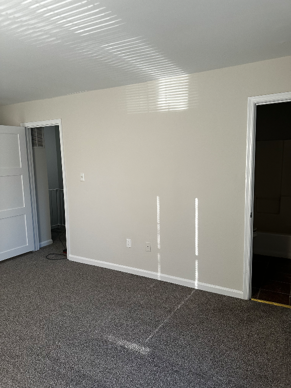
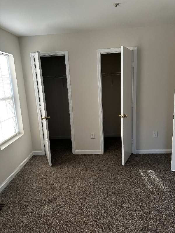
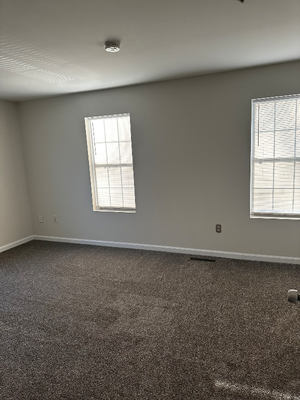
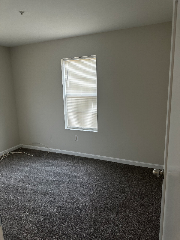
Property Id: 1759962 End Unit Townhouse in Capitol Heights, MD Available March 1st 3 Bedrooms, 2 full 2 half bathrooms ***Tenant Covers Utilities (Not included in rent price) * NEW Carpet thought the home * NEW Paint throughout entire house * Deck on main level * Walk-out basement - In-Unit Washer/ Dryer on basement level - Full Kitchen with new refrigerator and includes appliances: electric stove, and dishwasher Requirements: * Must provide 2 Months of Income Proof / Valid Driver's License. * Credit Check and Rental History
5632 Malvern Way is a townhome located in Prince George's County and the 20743 ZIP Code.
Townhome Features
Washer/Dryer
Dishwasher
Hardwood Floors
Refrigerator
- Washer/Dryer
- Cable Ready
- Dishwasher
- Disposal
- Oven
- Refrigerator
- Hardwood Floors
- Tile Floors
Fees and Policies
The fees below are based on community-supplied data and may exclude additional fees and utilities.
Details
Utilities Included
-
Trash Removal
Contact
- Listed by Jimese Price
- Phone Number (202) 391-6688
- Contact
-
Source

- Washer/Dryer
- Cable Ready
- Dishwasher
- Disposal
- Oven
- Refrigerator
- Hardwood Floors
- Tile Floors
Capitol Heights -- named for its location near Washington, DC -- provides the perfect location: near DC, near the Capital Beltway, and minutes away from FedEx Field, home of the NFL's Washington Football Team. It is also close to the Anacostia River, the United States National Arboretum, and Joint Base Anacostia-Bolling. Nearby Fort Circle Park provides Capitol Heights residents with 10 miles of hiking trails -- it is also a popular concert venue and is home to Fort Dupont Ice Rink.
Capitol Heights is a terrific location for your DC-area apartment, only about seven miles southeast of downtown. Hop on the Metro at the Capitol Heights Metro Station for a fast, car-free commute. Despite being so close to the historic sites of DC, Capitol Heights was a rural area with no paved roads or streetlights. In 1910, the 200 residents in the area named their town "Capitol Heights," but it wasn't until 1980 and the arrival of the Metro Blue Line that the town began to grow.
Learn more about living in Capitol Heights| Colleges & Universities | Distance | ||
|---|---|---|---|
| Colleges & Universities | Distance | ||
| Drive: | 14 min | 6.1 mi | |
| Drive: | 12 min | 6.3 mi | |
| Drive: | 13 min | 7.0 mi | |
| Drive: | 15 min | 7.1 mi |
Transportation options available in Capitol Heights include Capitol Heights, Blue/Silver Line Center Platform, located 1.3 miles from 5632 Malvern Way. 5632 Malvern Way is near Ronald Reagan Washington Ntl, located 12.6 miles or 24 minutes away, and Baltimore/Washington International Thurgood Marshall, located 29.9 miles or 46 minutes away.
| Transit / Subway | Distance | ||
|---|---|---|---|
| Transit / Subway | Distance | ||
| Drive: | 5 min | 1.3 mi | |
|
|
Drive: | 4 min | 1.8 mi |
|
|
Drive: | 7 min | 2.5 mi |
|
|
Drive: | 12 min | 4.3 mi |
|
|
Drive: | 9 min | 4.3 mi |
| Commuter Rail | Distance | ||
|---|---|---|---|
| Commuter Rail | Distance | ||
|
|
Drive: | 14 min | 6.5 mi |
|
|
Drive: | 17 min | 7.7 mi |
|
|
Drive: | 17 min | 7.9 mi |
| Drive: | 20 min | 8.8 mi | |
|
|
Drive: | 17 min | 9.0 mi |
| Airports | Distance | ||
|---|---|---|---|
| Airports | Distance | ||
|
Ronald Reagan Washington Ntl
|
Drive: | 24 min | 12.6 mi |
|
Baltimore/Washington International Thurgood Marshall
|
Drive: | 46 min | 29.9 mi |
Time and distance from 5632 Malvern Way.
| Shopping Centers | Distance | ||
|---|---|---|---|
| Shopping Centers | Distance | ||
| Drive: | 4 min | 1.5 mi | |
| Drive: | 6 min | 1.7 mi | |
| Drive: | 5 min | 1.7 mi |
| Parks and Recreation | Distance | ||
|---|---|---|---|
| Parks and Recreation | Distance | ||
|
Fort Dupont Park
|
Drive: | 10 min | 3.6 mi |
|
Walker Mill Regional Park
|
Drive: | 8 min | 3.9 mi |
|
Kingman and Heritage Island Park
|
Drive: | 9 min | 4.4 mi |
|
Suitland Bog
|
Drive: | 11 min | 4.6 mi |
|
National Arboretum
|
Drive: | 16 min | 7.2 mi |
| Hospitals | Distance | ||
|---|---|---|---|
| Hospitals | Distance | ||
| Drive: | 12 min | 5.0 mi | |
| Drive: | 17 min | 7.0 mi | |
| Drive: | 17 min | 7.2 mi |
| Military Bases | Distance | ||
|---|---|---|---|
| Military Bases | Distance | ||
| Drive: | 15 min | 6.7 mi | |
| Drive: | 16 min | 7.3 mi |
You May Also Like
What Are Walk Score®, Transit Score®, and Bike Score® Ratings?
Walk Score® measures the walkability of any address. Transit Score® measures access to public transit. Bike Score® measures the bikeability of any address.
What is a Sound Score Rating?
A Sound Score Rating aggregates noise caused by vehicle traffic, airplane traffic and local sources

5632 Malvern Way
Capitol Heights, MD 20743