566 E High St
Pottstown, PA 19464
-
Bedrooms
2
-
Bathrooms
1
-
Square Feet
800 sq ft
-
Available
Available Now
Highlights
- Open Floorplan
- Colonial Architecture
- Upgraded Countertops
- Recessed Lighting
- More Than Two Accessible Exits
- Cats Allowed

About This Home
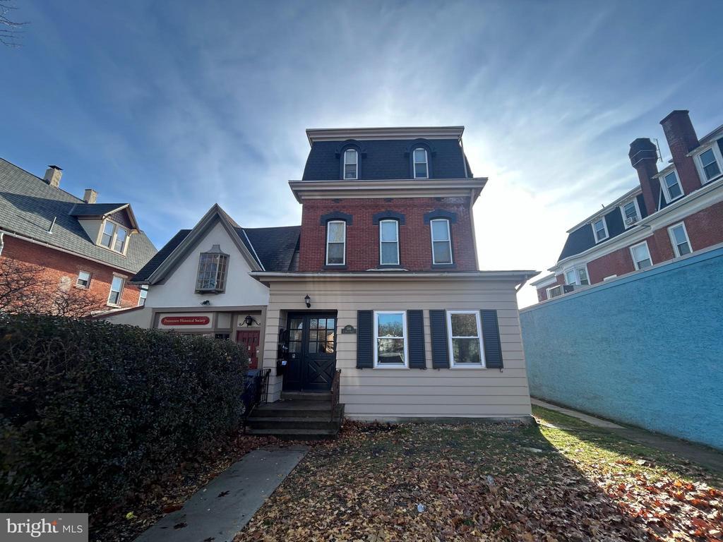
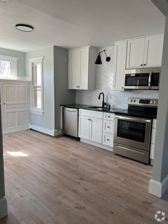
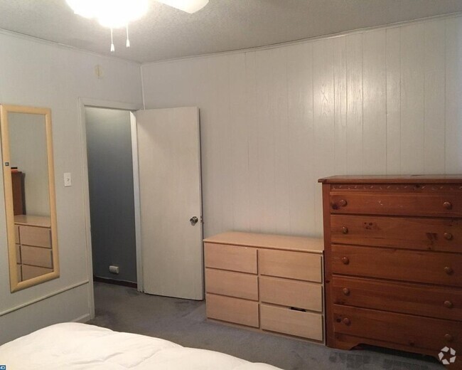
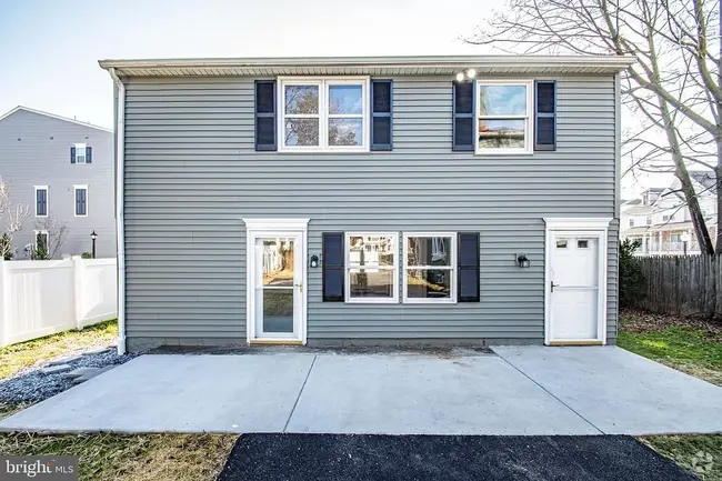
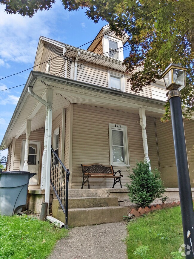
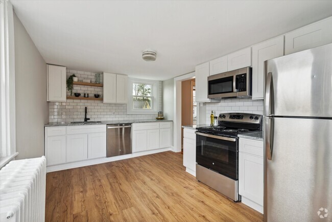
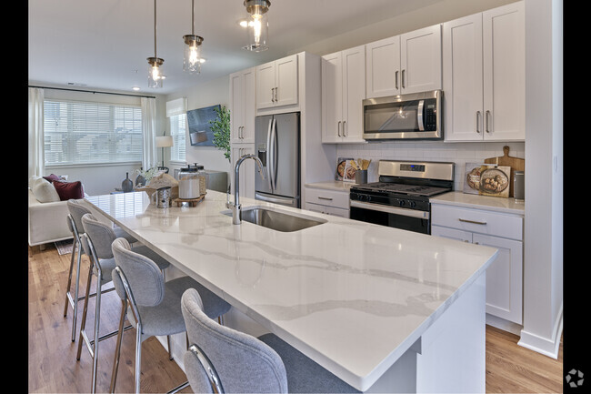
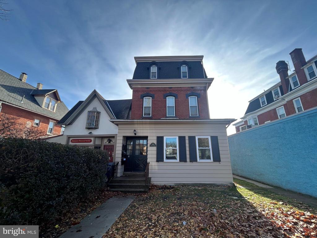
Completely remodeled two-bedroom apartment tucked at the end of town next to the Pottstown Historical Society. This building was completely remodeled just over a year ago with all new flooring, kitchens, bathrooms and HVAC mini split systems. This unit also comes with energy efficient LED recessed lighting and new vinyl windows. This building offers a shared laundry in the lower level of the rear building. Landlord pays water/sewer/trash. Rental requirements: 3x rent in gross income, no evictions last 4 years, no felonies last 10 years. No credit requirement. Section 8 OK.
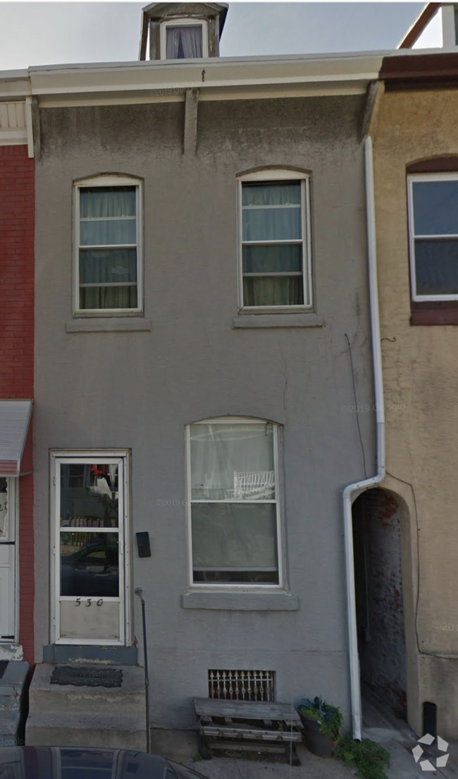
566 E High St is a house located in Montgomery County and the 19464 ZIP Code. This area is served by the Pottstown attendance zone.
Home Details
Home Type
Year Built
Accessible Home Design
Bedrooms and Bathrooms
Home Design
Interior Spaces
Kitchen
Listing and Financial Details
Lot Details
Parking
Utilities
Community Details
Overview
Pet Policy
Contact
- Listed by Mark J Gallagher | Coldwell Banker Hearthside-Allentown
- Phone Number
- Contact
-
Source
 Bright MLS, Inc.
Resting along the Schuylkill River, Pottstown is a small borough about 30 minutes from Reading and one hour from Philadelphia. Pottstown feels suburban with single-family homes on crisp lawns along tree-lined streets, and an abundance of convenient amenities.
Residents enjoy a variety of shopping and dining options. Upland Square on the edge of town offers several big-box stores, chain restaurants, and a movie theater. There are several small plazas across the town featuring local eateries, unique shops, and national stores.
Located in a verdant valley, Pottstown offers gorgeous natural areas great for outdoor recreation. Memorial Park is great for families and sports lovers with lighted ball fields, a skate park, a BMX track, a splash pad, and a playground. Visit the Pottstown Riverfront Park is a local favorite for kayaking and hiking.
Learn more about living in Pottstown| Colleges & Universities | Distance | ||
|---|---|---|---|
| Colleges & Universities | Distance | ||
| Walk: | 18 min | 1.0 mi | |
| Drive: | 22 min | 11.1 mi | |
| Drive: | 34 min | 18.9 mi | |
| Drive: | 42 min | 22.1 mi |
 The GreatSchools Rating helps parents compare schools within a state based on a variety of school quality indicators and provides a helpful picture of how effectively each school serves all of its students. Ratings are on a scale of 1 (below average) to 10 (above average) and can include test scores, college readiness, academic progress, advanced courses, equity, discipline and attendance data. We also advise parents to visit schools, consider other information on school performance and programs, and consider family needs as part of the school selection process.
View GreatSchools Rating Methodology
Transportation options available in Pottstown include Norristown Transportation Center (100 Line), located 21.3 miles from 566 E High St. 566 E High St is near Lehigh Valley International, located 35.4 miles or 63 minutes away, and Philadelphia International, located 47.4 miles or 73 minutes away.
| Transit / Subway | Distance | ||
|---|---|---|---|
| Transit / Subway | Distance | ||
|
|
Drive: | 37 min | 21.3 mi |
|
|
Drive: | 38 min | 24.2 mi |
|
|
Drive: | 40 min | 24.7 mi |
|
|
Drive: | 41 min | 24.9 mi |
|
|
Drive: | 39 min | 25.0 mi |
| Commuter Rail | Distance | ||
|---|---|---|---|
| Commuter Rail | Distance | ||
|
|
Drive: | 37 min | 19.0 mi |
|
|
Drive: | 36 min | 19.2 mi |
|
|
Drive: | 37 min | 19.9 mi |
|
|
Drive: | 39 min | 20.0 mi |
|
|
Drive: | 41 min | 21.9 mi |
| Airports | Distance | ||
|---|---|---|---|
| Airports | Distance | ||
|
Lehigh Valley International
|
Drive: | 63 min | 35.4 mi |
|
Philadelphia International
|
Drive: | 73 min | 47.4 mi |
Time and distance from 566 E High St.
| Shopping Centers | Distance | ||
|---|---|---|---|
| Shopping Centers | Distance | ||
| Drive: | 5 min | 1.4 mi | |
| Drive: | 5 min | 1.5 mi | |
| Drive: | 6 min | 2.1 mi |
| Parks and Recreation | Distance | ||
|---|---|---|---|
| Parks and Recreation | Distance | ||
|
Limerick Community Park
|
Drive: | 15 min | 6.5 mi |
|
Stone Hills Preserve
|
Drive: | 18 min | 7.3 mi |
|
Welkinweir Gardens
|
Drive: | 16 min | 7.6 mi |
|
Crow's Nest Preserve
|
Drive: | 21 min | 8.7 mi |
|
Warwick County Park
|
Drive: | 20 min | 9.4 mi |
| Hospitals | Distance | ||
|---|---|---|---|
| Hospitals | Distance | ||
| Drive: | 5 min | 1.6 mi | |
| Drive: | 15 min | 7.6 mi | |
| Drive: | 20 min | 11.3 mi |
| Military Bases | Distance | ||
|---|---|---|---|
| Military Bases | Distance | ||
| Drive: | 62 min | 33.6 mi | |
| Drive: | 67 min | 45.4 mi |
You May Also Like
Similar Rentals Nearby
What Are Walk Score®, Transit Score®, and Bike Score® Ratings?
Walk Score® measures the walkability of any address. Transit Score® measures access to public transit. Bike Score® measures the bikeability of any address.
What is a Sound Score Rating?
A Sound Score Rating aggregates noise caused by vehicle traffic, airplane traffic and local sources
