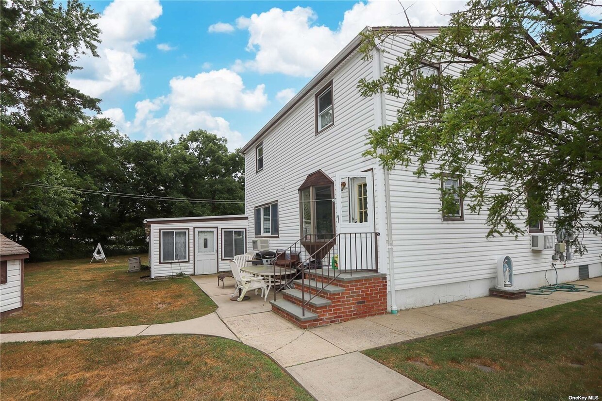
59 Laurel Rd
Lindenhurst, NY 11757

Check Back Soon for Upcoming Availability
| Beds | Baths | Average SF |
|---|---|---|
| 2 Bedrooms 2 Bedrooms 2 Br | 1 Bath 1 Bath 1 Ba | — |
About This Property
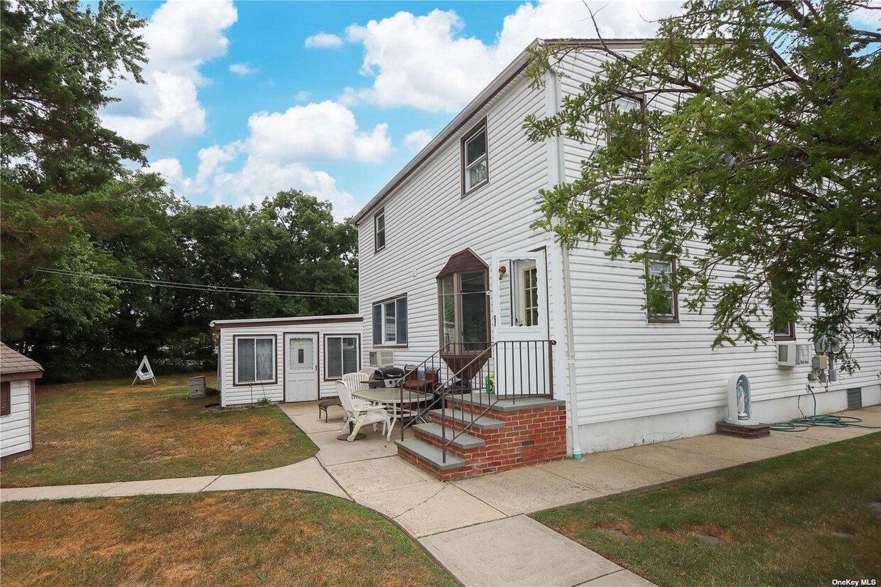
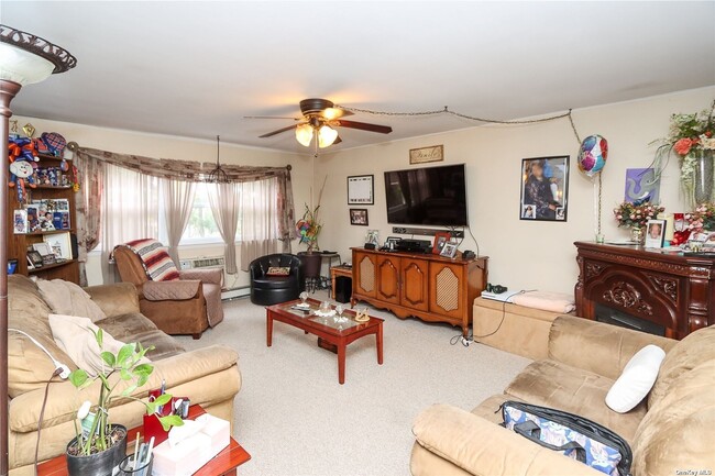
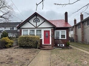
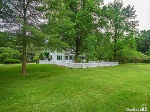
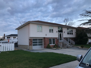
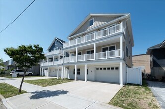
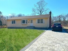
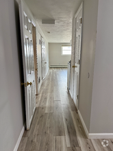
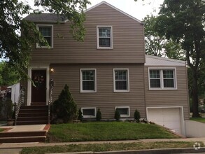
Bright apartment on 2nd floor of lovely corner two story home on oversized property in Lindenhurst. 2 bedrooms, 1 bathroom, living room, EIK. Close to Railroad, Park and Shopping
59 Laurel Rd is a house located in Suffolk County and the 11757 ZIP Code. This area is served by the Lindenhurst Union Free attendance zone.
The coastal village of Lindenhurst is located along Oyster Bay in Long Island, directly across the bay from some of New York's most popular beaches: Cedar Beach, Gilgo State Park, and Robert Moses State Park. Fire Island National Seashore and Long Beach are also near Lindenhurst. Situated in the town of Babylon, Lindenhurst was founded in 1873. The downtown shopping district is filled with charming, historic architecture. The village has been home many famous residents, including game show host Jack Barry, rock star Pat Benatar, talk show host Joy Behar, and director Hal Hartley.
Residents enjoy a terrific community filled with beautiful parks. Venetian Shores Park, located on the bay, has a residents-only beach for swimming, an interactive spray park, a playground, and picnic areas. Other nearby parks include Shore Road Park, Copiague Neck County Park, Bergen Point County Park, Great East Neck, and the Bergen Point Golf Course.
Learn more about living in LindenhurstBelow are rent ranges for similar nearby apartments
| Colleges & Universities | Distance | ||
|---|---|---|---|
| Colleges & Universities | Distance | ||
| Drive: | 13 min | 5.8 mi | |
| Drive: | 17 min | 11.2 mi | |
| Drive: | 17 min | 12.5 mi | |
| Drive: | 23 min | 16.1 mi |
 The GreatSchools Rating helps parents compare schools within a state based on a variety of school quality indicators and provides a helpful picture of how effectively each school serves all of its students. Ratings are on a scale of 1 (below average) to 10 (above average) and can include test scores, college readiness, academic progress, advanced courses, equity, discipline and attendance data. We also advise parents to visit schools, consider other information on school performance and programs, and consider family needs as part of the school selection process.
View GreatSchools Rating Methodology
Transportation options available in Lindenhurst include Far Rockaway-Mott Avenue, located 22.6 miles from 59 Laurel Rd. 59 Laurel Rd is near Long Island MacArthur, located 18.9 miles or 27 minutes away, and John F Kennedy International, located 24.9 miles or 35 minutes away.
| Transit / Subway | Distance | ||
|---|---|---|---|
| Transit / Subway | Distance | ||
|
|
Drive: | 33 min | 22.6 mi |
|
|
Drive: | 34 min | 23.0 mi |
|
|
Drive: | 37 min | 24.5 mi |
|
|
Drive: | 36 min | 25.0 mi |
|
|
Drive: | 37 min | 25.0 mi |
| Commuter Rail | Distance | ||
|---|---|---|---|
| Commuter Rail | Distance | ||
|
|
Drive: | 4 min | 1.9 mi |
|
|
Drive: | 4 min | 2.2 mi |
|
|
Drive: | 6 min | 3.3 mi |
|
|
Drive: | 6 min | 3.6 mi |
|
|
Drive: | 7 min | 4.1 mi |
| Airports | Distance | ||
|---|---|---|---|
| Airports | Distance | ||
|
Long Island MacArthur
|
Drive: | 27 min | 18.9 mi |
|
John F Kennedy International
|
Drive: | 35 min | 24.9 mi |
Time and distance from 59 Laurel Rd.
| Shopping Centers | Distance | ||
|---|---|---|---|
| Shopping Centers | Distance | ||
| Walk: | 10 min | 0.5 mi | |
| Drive: | 2 min | 1.2 mi | |
| Drive: | 5 min | 1.8 mi |
| Parks and Recreation | Distance | ||
|---|---|---|---|
| Parks and Recreation | Distance | ||
|
Belmont Lake State Park
|
Drive: | 8 min | 4.7 mi |
|
Bethpage State Park
|
Drive: | 8 min | 5.3 mi |
|
Gardiner County Park
|
Drive: | 11 min | 6.7 mi |
|
Tackapausha Museum & Preserve
|
Drive: | 10 min | 6.8 mi |
|
Fire Island Lighthouse
|
Drive: | 25 min | 19.0 mi |
| Hospitals | Distance | ||
|---|---|---|---|
| Hospitals | Distance | ||
| Drive: | 4 min | 2.9 mi | |
| Drive: | 4 min | 3.1 mi | |
| Drive: | 10 min | 6.1 mi |
| Military Bases | Distance | ||
|---|---|---|---|
| Military Bases | Distance | ||
| Drive: | 43 min | 22.8 mi | |
| Drive: | 40 min | 29.3 mi | |
| Drive: | 57 min | 35.1 mi |
You May Also Like
Similar Rentals Nearby
What Are Walk Score®, Transit Score®, and Bike Score® Ratings?
Walk Score® measures the walkability of any address. Transit Score® measures access to public transit. Bike Score® measures the bikeability of any address.
What is a Sound Score Rating?
A Sound Score Rating aggregates noise caused by vehicle traffic, airplane traffic and local sources
