
$1,325 / Month
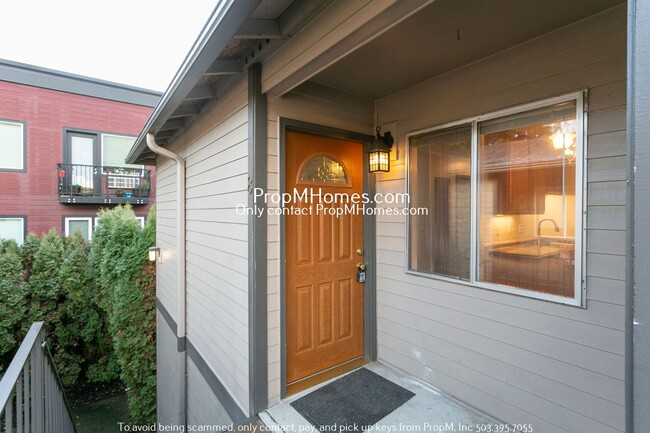
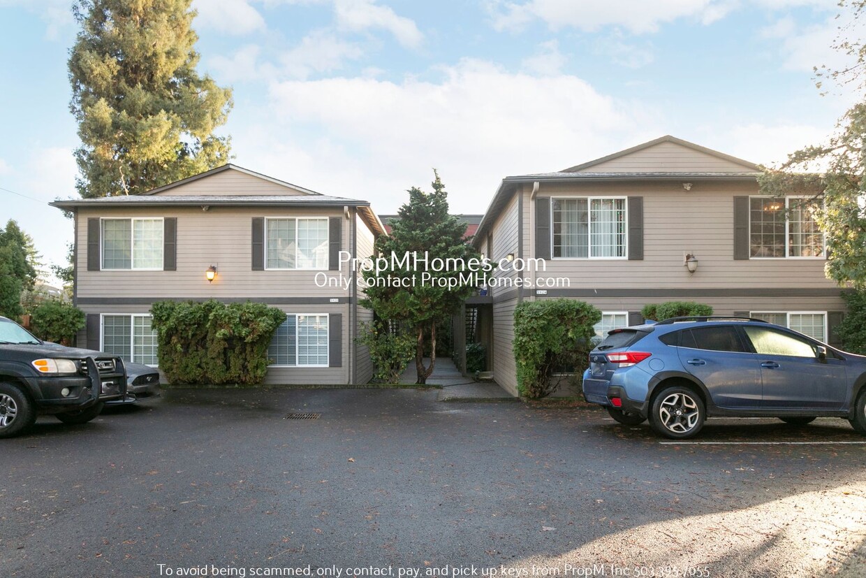
5920 S Hood Ave Unit 2
Portland, OR 97239
Today
Favorites
-
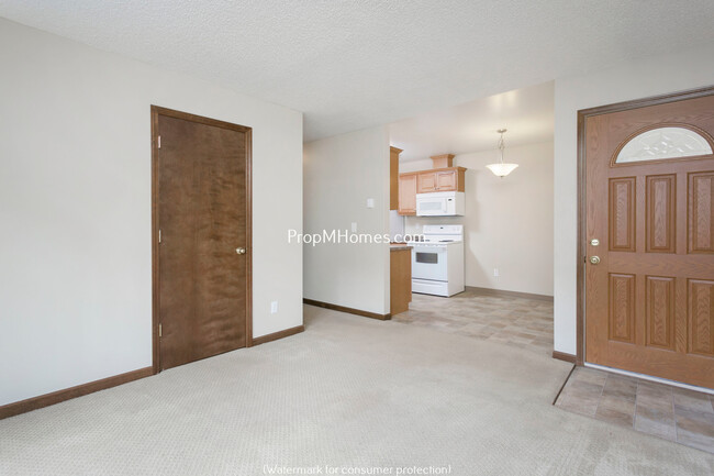
Bedrooms
1
-
Bathrooms
1
-
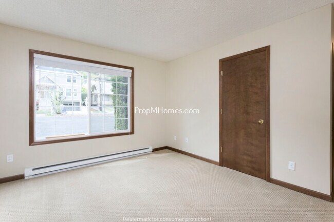
Square Feet
600 sq ft
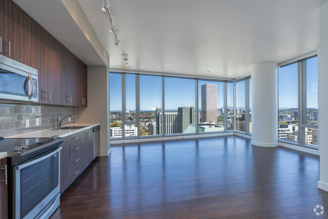
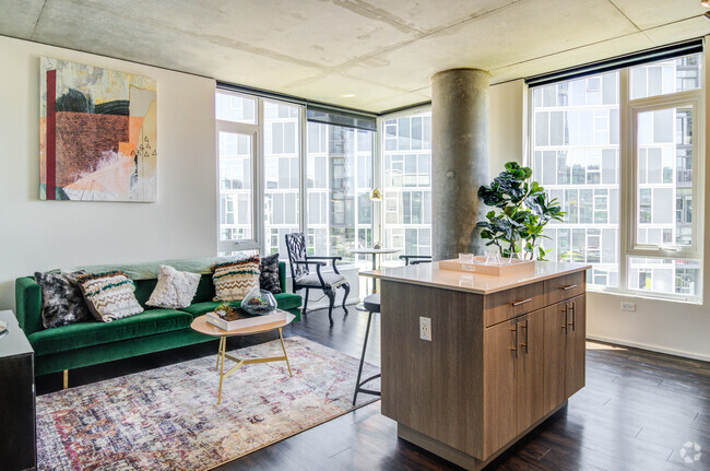
5920 S Hood Ave Unit 2

Favorites
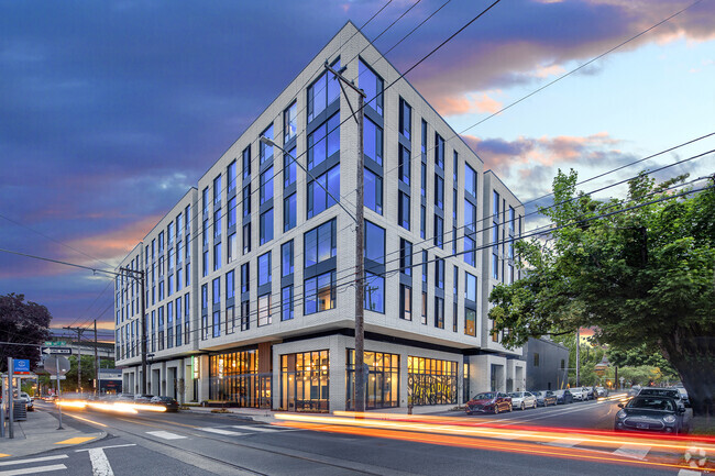
5920 S Hood Ave is an apartment community located in Multnomah County and the 97239 ZIP Code.
* Price shown is base rent and may not include non-optional fees and utilities.
Price, availability, fees, and any applicable rent special are subject to change without notice.
* Square footage definitions vary. Displayed square footage is approximate.
Features
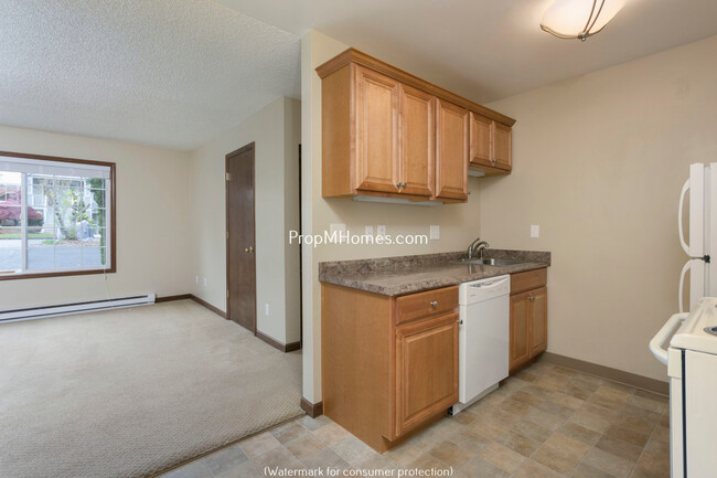
- Dishwasher
Fees and Policies
Location
Get Directions
Amenities
- Dishwasher
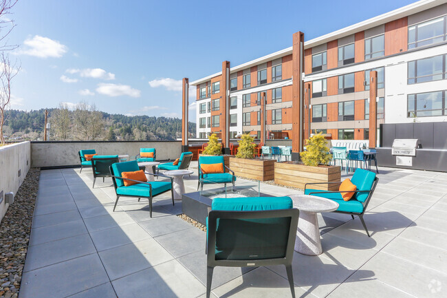
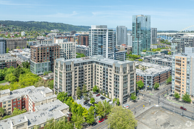
South Portland blends the charming homes in the suburbs of Southwest Portland with the trendy storefronts and upscale apartments of Downtown Portland. This area contains the South Waterfront, a growing, multi-use neighborhood with high-rise apartments, an extension of the OHSU campus, and top-notch restaurants. Tourists are familiar with South Portland for being home to the city’s most alluring vista, the OHSU tram. The Ariel Tram starts at river’s edge by the South Waterfront, passes over the neighborhood and Interstate 5 up to the top of Marquam Hill. South Portland offers beautiful views of the Williamette River and easy access to Marquam Nature Park, Portland State University, and downtown.
Learn more about living in South Portland
Education
| Colleges & Universities | Distance | ||
|---|---|---|---|
| Colleges & Universities | Distance | ||
| Drive: | 5 min | 1.5 mi | |
| Drive: | 6 min | 2.0 mi | |
| Drive: | 7 min | 2.3 mi | |
| Drive: | 14 min | 4.3 mi |
5920 S Hood Ave Unit 2 is within 5 minutes or 1.5 miles from Oregon Health & Sci Waterfront. It is also near Oregon Health & Science Univ. and Portland State University.
Transportation options available in Portland include Sw Lowell & Bond, located 1.1 miles from 5920 S Hood Ave Unit 2. 5920 S Hood Ave Unit 2 is near Portland International, located 14.6 miles or 25 minutes away.
| Transit / Subway | Distance | ||
|---|---|---|---|
| Transit / Subway | Distance | ||
|
|
Drive: | 3 min | 1.1 mi |
|
|
Drive: | 3 min | 1.2 mi |
|
|
Drive: | 4 min | 1.3 mi |
|
|
Drive: | 5 min | 1.5 mi |
| Drive: | 8 min | 3.5 mi |
| Commuter Rail | Distance | ||
|---|---|---|---|
| Commuter Rail | Distance | ||
|
|
Drive: | 11 min | 4.1 mi |
|
|
Drive: | 17 min | 7.4 mi |
|
|
Drive: | 18 min | 7.4 mi |
|
|
Drive: | 19 min | 9.8 mi |
|
|
Drive: | 18 min | 10.1 mi |
| Airports | Distance | ||
|---|---|---|---|
| Airports | Distance | ||
|
Portland International
|
Drive: | 25 min | 14.6 mi |
Time and distance from 5920 S Hood Ave Unit 2.
| Shopping Centers | Distance | ||
|---|---|---|---|
| Shopping Centers | Distance | ||
| Walk: | 4 min | 0.2 mi | |
| Walk: | 13 min | 0.7 mi | |
| Drive: | 7 min | 2.6 mi |
5920 S Hood Ave Unit 2 has 3 shopping centers within 2.6 miles, which is about a 7-minute walk. The miles and minutes will be for the farthest away property.
| Parks and Recreation | Distance | ||
|---|---|---|---|
| Parks and Recreation | Distance | ||
|
Sellwood Park
|
Drive: | 5 min | 1.9 mi |
|
Sellwood Riverfront Park
|
Drive: | 6 min | 2.0 mi |
|
Stephens Creek Natural Area
|
Drive: | 6 min | 2.0 mi |
|
Oaks Bottom Wildlife Refuge
|
Drive: | 6 min | 2.1 mi |
|
George Himes Park
|
Drive: | 6 min | 2.4 mi |
5920 S Hood Ave Unit 2 has 5 parks within 2.4 miles, including George Himes Park, Stephens Creek Natural Area, and Sellwood Park.
| Hospitals | Distance | ||
|---|---|---|---|
| Hospitals | Distance | ||
| Drive: | 7 min | 2.3 mi | |
| Drive: | 8 min | 2.3 mi | |
| Drive: | 10 min | 4.1 mi |
5920 S Hood Ave Unit 2 has 3 hospitals within 4.1 miles, the nearest is Shriners Hospital for Children - Portland which is 2.3 miles away and a 7 minute drive.
| Military Bases | Distance | ||
|---|---|---|---|
| Military Bases | Distance | ||
| Drive: | 23 min | 10.3 mi | |
| Drive: | 48 min | 27.6 mi |
5920 S Hood Ave Unit 2 is 10.3 miles from Portland Airport Air Guard Station, and is convenient to other military bases, including Camp Bonneville Military Reservation.
You May Also Like
Similar Rentals Nearby


What Are Walk Score®, Transit Score®, and Bike Score® Ratings?
Walk Score® measures the walkability of any address. Transit Score® measures access to public transit. Bike Score® measures the bikeability of any address.
What is a Sound Score Rating?
A Sound Score Rating aggregates noise caused by vehicle traffic, airplane traffic and local sources
5920 S Hood Ave
Portland, OR 97239