
Check Back Soon for Upcoming Availability
| Beds | Baths | Average SF |
|---|---|---|
| 3 Bedrooms 3 Bedrooms 3 Br | 1 Bath 1 Bath 1 Ba | 1,352 SF |
About This Property
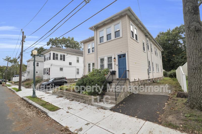
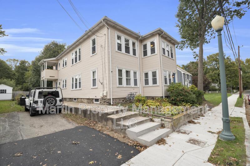
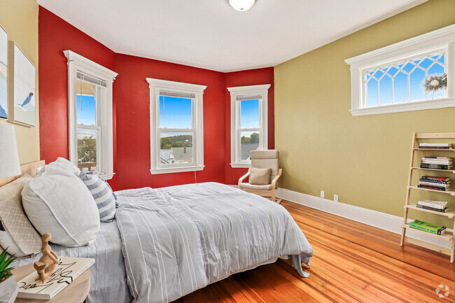
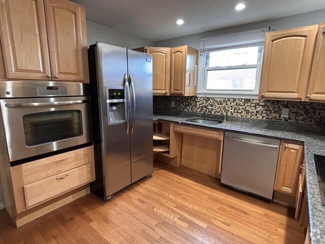
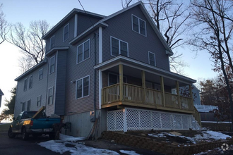
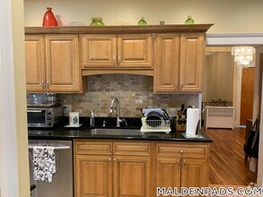
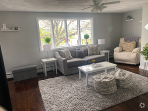
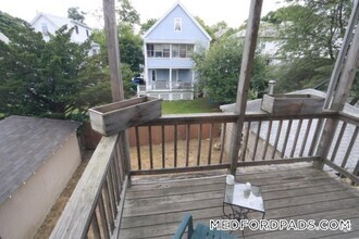
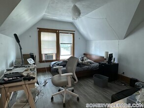
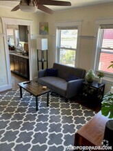
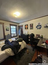
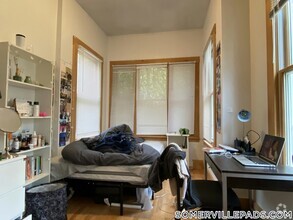
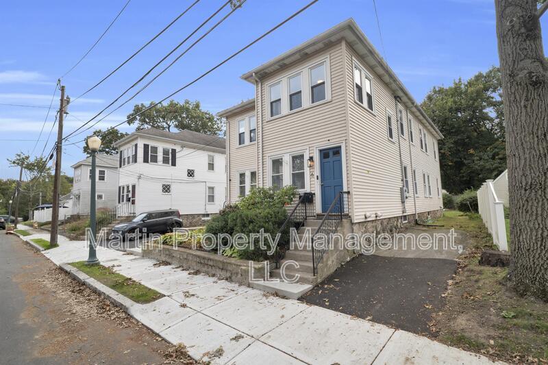
October 1 - Second floor unit in Andover MA. This spacios 3 bedroom, one bath unit features a great spacious kitchen, large family room, dining room area with hardwood floors throughout and a nice sunroom. This unit has a washer/dryer and two assigned parking spots, storage area and shared backyard. Closer to route 495.
6 Stirling St is a condo located in Essex County and the 01810 ZIP Code.
 This Property
 Available Property
Den Rock Park is a small suburban neighborhood located about three miles south of Downtown Lawrence and Downtown North Andover. The neighborhood offers mid-range to upscale housing options in a variety of styles including single-family homes and apartments. Den Rock Park is best known for its namesake greenspace, a 120-acre preserve with scenic hiking trails, a rock-climbing wall, and more. Den Rock Park is predominately residential apart from a few small restaurants and stores found along Turnpike Street. If you’re looking for a quiet, wooded escape from the city, this neighborhood is a great choice. Several city centers aren’t far from Den Rock Park, giving residents easy access to even more options for shopping, dining, and entertainment. Interstate 495 and U.S. Highway 133 make traveling throughout this metro area simple.
Learn more about living in Den Rock ParkBelow are rent ranges for similar nearby apartments
| Colleges & Universities | Distance | ||
|---|---|---|---|
| Colleges & Universities | Distance | ||
| Drive: | 3 min | 1.4 mi | |
| Drive: | 17 min | 10.7 mi | |
| Drive: | 18 min | 11.7 mi | |
| Drive: | 20 min | 13.4 mi |
Transportation options available in Andover include Oak Grove Station, located 20.1 miles from 6 Stirling St Unit 2. 6 Stirling St Unit 2 is near General Edward Lawrence Logan International, located 28.0 miles or 39 minutes away, and Manchester Boston Regional, located 31.0 miles or 46 minutes away.
| Transit / Subway | Distance | ||
|---|---|---|---|
| Transit / Subway | Distance | ||
|
|
Drive: | 29 min | 20.1 mi |
|
|
Drive: | 29 min | 21.5 mi |
| Drive: | 29 min | 21.7 mi | |
| Drive: | 30 min | 22.1 mi | |
|
|
Drive: | 31 min | 22.7 mi |
| Commuter Rail | Distance | ||
|---|---|---|---|
| Commuter Rail | Distance | ||
|
|
Drive: | 3 min | 1.8 mi |
|
|
Drive: | 5 min | 2.9 mi |
|
|
Drive: | 9 min | 4.3 mi |
|
|
Drive: | 14 min | 9.8 mi |
|
|
Drive: | 15 min | 10.1 mi |
| Airports | Distance | ||
|---|---|---|---|
| Airports | Distance | ||
|
General Edward Lawrence Logan International
|
Drive: | 39 min | 28.0 mi |
|
Manchester Boston Regional
|
Drive: | 46 min | 31.0 mi |
Time and distance from 6 Stirling St Unit 2.
| Shopping Centers | Distance | ||
|---|---|---|---|
| Shopping Centers | Distance | ||
| Walk: | 15 min | 0.8 mi | |
| Walk: | 20 min | 1.0 mi | |
| Drive: | 3 min | 1.4 mi |
| Parks and Recreation | Distance | ||
|---|---|---|---|
| Parks and Recreation | Distance | ||
|
Stevens-Coolidge Place
|
Drive: | 2 min | 1.3 mi |
|
Lawrence Heritage State Park
|
Drive: | 6 min | 3.2 mi |
|
Smolak Farms
|
Drive: | 8 min | 4.0 mi |
|
Harold Parker State Forest
|
Drive: | 14 min | 6.8 mi |
|
Windrush Farm
|
Drive: | 16 min | 6.9 mi |
| Hospitals | Distance | ||
|---|---|---|---|
| Hospitals | Distance | ||
| Drive: | 9 min | 4.8 mi |
| Military Bases | Distance | ||
|---|---|---|---|
| Military Bases | Distance | ||
| Drive: | 38 min | 19.0 mi | |
| Drive: | 44 min | 22.2 mi | |
| Drive: | 34 min | 23.4 mi |
You May Also Like
Similar Rentals Nearby
-
-
-
-
-
$3,0003 Beds, 1.5 Baths, 1,200 sq ftApartment for Rent
-
-
-
-
-
What Are Walk Score®, Transit Score®, and Bike Score® Ratings?
Walk Score® measures the walkability of any address. Transit Score® measures access to public transit. Bike Score® measures the bikeability of any address.
What is a Sound Score Rating?
A Sound Score Rating aggregates noise caused by vehicle traffic, airplane traffic and local sources
