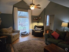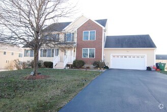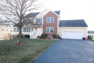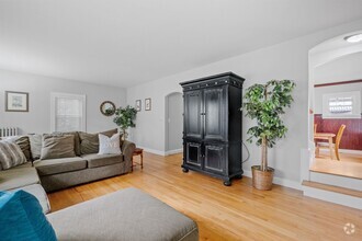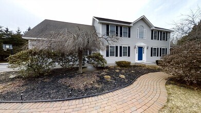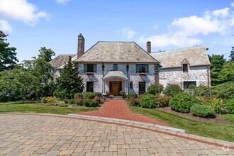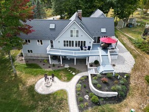

Check Back Soon for Upcoming Availability
| Beds | Baths | Average SF |
|---|---|---|
| 4 Bedrooms 4 Bedrooms 4 Br | 2.5 Baths 2.5 Baths 2.5 Ba | — |
 This Property
 Available Property
Londonderry is a cozy suburban town on the south side of Manchester. Having grown out of sparsely-developed farmlands, the landscape is almost entirely filled by residential neighborhoods, with a small cluster of shopping centers, restaurants, and a multiplex movie theater along Nashua Road near Interstate 93.
Surrounded by parks and intertwined with lush green forests, the entire community enjoys a somewhat secluded rural atmosphere, with residents on the north side also benefitting from close access to the resources and attractions of Manchester. Boston is only about an hour’s drive to the south, putting one of America’s most exciting and historic cities at arm’s reach for business or leisure anytime.
Learn more about living in Londonderry| Colleges & Universities | Distance | ||
|---|---|---|---|
| Colleges & Universities | Distance | ||
| Drive: | 23 min | 9.5 mi | |
| Drive: | 26 min | 13.7 mi | |
| Drive: | 28 min | 14.2 mi | |
| Drive: | 35 min | 17.4 mi |
Transportation options available in Londonderry include Alewife Station, located 41.6 miles from 6 Tanager Way. 6 Tanager Way is near Manchester Boston Regional, located 8.5 miles or 20 minutes away, and Portsmouth International at Pease, located 53.4 miles or 82 minutes away.
| Transit / Subway | Distance | ||
|---|---|---|---|
| Transit / Subway | Distance | ||
|
|
Drive: | 71 min | 41.6 mi |
|
|
Drive: | 67 min | 43.4 mi |
|
|
Drive: | 67 min | 44.7 mi |
| Drive: | 67 min | 44.9 mi |
| Commuter Rail | Distance | ||
|---|---|---|---|
| Commuter Rail | Distance | ||
|
|
Drive: | 42 min | 18.9 mi |
|
|
Drive: | 44 min | 23.5 mi |
|
|
Drive: | 49 min | 24.5 mi |
|
|
Drive: | 50 min | 24.9 mi |
|
|
Drive: | 48 min | 27.1 mi |
| Airports | Distance | ||
|---|---|---|---|
| Airports | Distance | ||
|
Manchester Boston Regional
|
Drive: | 20 min | 8.5 mi |
|
Portsmouth International at Pease
|
Drive: | 82 min | 53.4 mi |
Time and distance from 6 Tanager Way.
| Shopping Centers | Distance | ||
|---|---|---|---|
| Shopping Centers | Distance | ||
| Drive: | 8 min | 3.4 mi | |
| Drive: | 25 min | 11.4 mi | |
| Drive: | 28 min | 12.4 mi |
| Parks and Recreation | Distance | ||
|---|---|---|---|
| Parks and Recreation | Distance | ||
|
Robert Frost Farm Historic Site
|
Drive: | 22 min | 9.3 mi |
|
Nashua National Fish Hatchery
|
Drive: | 23 min | 10.0 mi |
|
Mine Falls Park
|
Drive: | 24 min | 10.2 mi |
|
Ponemah Bog Wildlife Sanctuary
|
Drive: | 38 min | 16.1 mi |
|
The Educational Farm
|
Drive: | 36 min | 18.9 mi |
| Hospitals | Distance | ||
|---|---|---|---|
| Hospitals | Distance | ||
| Drive: | 18 min | 7.8 mi | |
| Drive: | 19 min | 8.4 mi | |
| Drive: | 22 min | 9.7 mi |
You May Also Like
Similar Rentals Nearby
-
-
-
-
$4,8004 Beds, 3.5 Baths, 3,856 sq ftHouse for Rent
-
$6,9904 Beds, 2 Baths, 2,850 sq ftHouse for Rent
-
$5,9005 Beds, 3.5 Baths, 4,576 sq ftHouse for Rent
-
$5,9005 Beds, 4 Baths, 4,576 sq ftHouse for Rent
-
$9,5005 Beds, 5 Baths, 6,848 sq ftHouse for Rent
-
-
What Are Walk Score®, Transit Score®, and Bike Score® Ratings?
Walk Score® measures the walkability of any address. Transit Score® measures access to public transit. Bike Score® measures the bikeability of any address.
What is a Sound Score Rating?
A Sound Score Rating aggregates noise caused by vehicle traffic, airplane traffic and local sources

