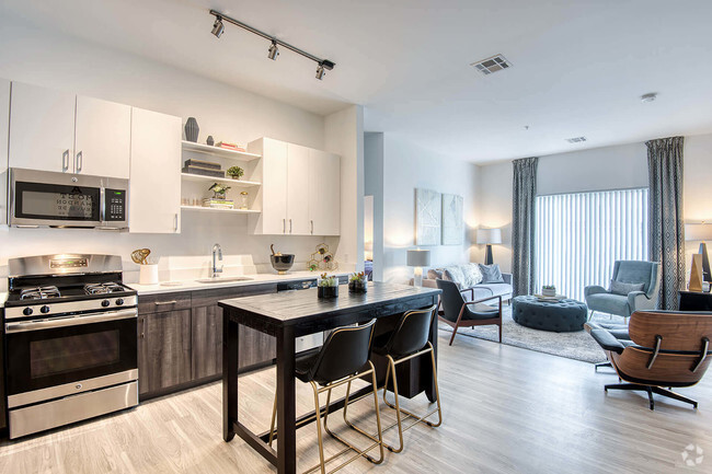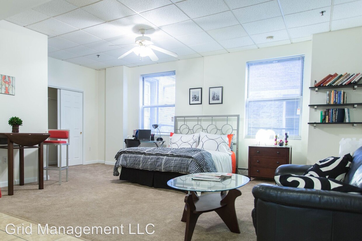

Check Back Soon for Upcoming Availability
| Beds | Baths | Average SF |
|---|---|---|
| 2 Bedrooms 2 Bedrooms 2 Br | 1 Bath 1 Bath 1 Ba | 700 SF |
About This Property
+1 (508) 719-9980 - - (RLNE4776290) Other Amenities: Other (h1). Pet policies: Small Dogs Allowed, Cats Allowed, Large Dogs Allowed.
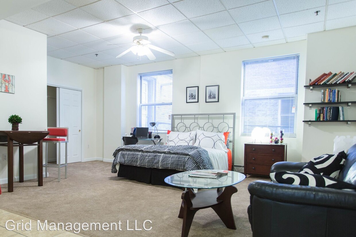
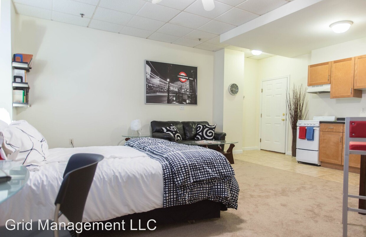
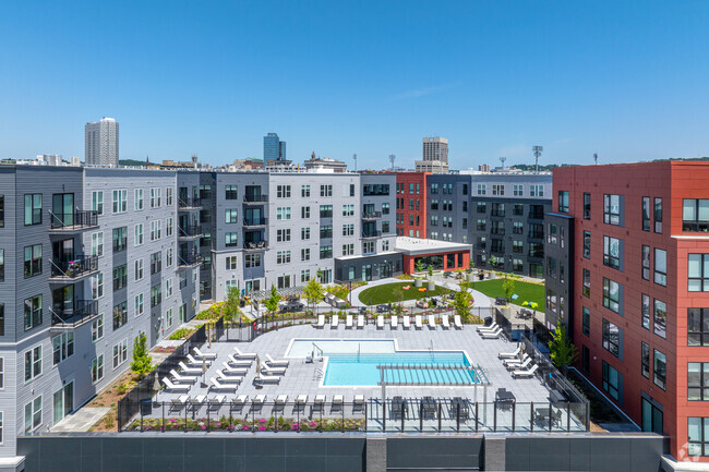
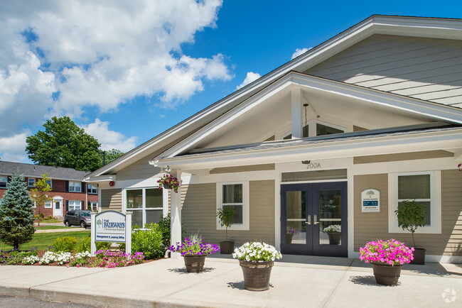
60 Franklin St is an apartment community located in Worcester County and the 01608 ZIP Code.
Unique Features
- Amenities - h1
Fees and Policies
The fees below are based on community-supplied data and may exclude additional fees and utilities.
- Dogs Allowed
-
Fees not specified
-
Weight limit--
-
Pet Limit--
 This Property
 Available Property
Downtown Worcester, also known as the Central Business District, provides residents with the best of both worlds. Residents enjoy the charm and comfort of a tight-knit residential area and proximity to many cultural amenities on Main Street. The area’s central location allows for easy access to a variety of shopping, dining, and entertainment options, including local attractions like the Palladium, DCU Center, and the Worcester Museum of Art.
Homes available for rent in Downtown Worcester include renovated luxury apartments, single-family homes, duplexes, and condominiums. Worchester’s Central Business District is also convenient to the Worcester Union Station and Interstate 290, making it an ideal location for commuters traveling into Boston on a regular basis. From diverse housing options and friendly neighbors to the endless conveniences of living in the heart of Worcester, Downtown offers something for everyone.
Learn more about living in Downtown WorcesterBelow are rent ranges for similar nearby apartments
| Beds | Average Size | Lowest | Typical | Premium |
|---|---|---|---|---|
| Studio Studio Studio | 482-488 Sq Ft | $1,295 | $2,352 | $5,072 |
| 1 Bed 1 Bed 1 Bed | 737-755 Sq Ft | $1,595 | $2,445 | $4,557 |
| 2 Beds 2 Beds 2 Beds | 1086-1157 Sq Ft | $1,425 | $2,935 | $5,463 |
| 3 Beds 3 Beds 3 Beds | 1290-1335 Sq Ft | $2,000 | $3,259 | $3,895 |
| 4 Beds 4 Beds 4 Beds | 1833-2673 Sq Ft | $1,200 | $1,703 | $8,750 |
- Amenities - h1
| Colleges & Universities | Distance | ||
|---|---|---|---|
| Colleges & Universities | Distance | ||
| Walk: | 4 min | 0.3 mi | |
| Walk: | 18 min | 0.9 mi | |
| Drive: | 2 min | 1.1 mi | |
| Drive: | 2 min | 1.4 mi |
Transportation options available in Worcester include Riverside Station, located 33.8 miles from 60 Franklin St. 60 Franklin St is near Worcester Regional, located 5.5 miles or 11 minutes away.
| Transit / Subway | Distance | ||
|---|---|---|---|
| Transit / Subway | Distance | ||
|
|
Drive: | 45 min | 33.8 mi |
|
|
Drive: | 45 min | 34.2 mi |
|
|
Drive: | 47 min | 34.8 mi |
|
|
Drive: | 49 min | 36.4 mi |
|
|
Drive: | 49 min | 36.6 mi |
| Commuter Rail | Distance | ||
|---|---|---|---|
| Commuter Rail | Distance | ||
|
|
Walk: | 7 min | 0.4 mi |
|
|
Walk: | 12 min | 0.7 mi |
|
|
Drive: | 14 min | 8.0 mi |
|
|
Drive: | 16 min | 9.3 mi |
|
|
Drive: | 28 min | 16.3 mi |
| Airports | Distance | ||
|---|---|---|---|
| Airports | Distance | ||
|
Worcester Regional
|
Drive: | 11 min | 5.5 mi |
Time and distance from 60 Franklin St.
| Shopping Centers | Distance | ||
|---|---|---|---|
| Shopping Centers | Distance | ||
| Drive: | 2 min | 1.4 mi | |
| Drive: | 3 min | 1.4 mi | |
| Drive: | 3 min | 1.7 mi |
| Parks and Recreation | Distance | ||
|---|---|---|---|
| Parks and Recreation | Distance | ||
|
EcoTarium
|
Drive: | 7 min | 2.3 mi |
|
Quinsigamond State Park
|
Drive: | 5 min | 2.8 mi |
|
Mass Audubon's Broad Meadow Brook Conservation Center and Wildlife Sanctuary
|
Drive: | 5 min | 3.0 mi |
|
Ward Hill Ski Area
|
Drive: | 14 min | 7.5 mi |
|
Tower Hill Botanic Garden
|
Drive: | 15 min | 8.3 mi |
| Hospitals | Distance | ||
|---|---|---|---|
| Hospitals | Distance | ||
| Walk: | 11 min | 0.6 mi | |
| Drive: | 2 min | 1.1 mi | |
| Drive: | 5 min | 2.9 mi |
You May Also Like
Similar Rentals Nearby
What Are Walk Score®, Transit Score®, and Bike Score® Ratings?
Walk Score® measures the walkability of any address. Transit Score® measures access to public transit. Bike Score® measures the bikeability of any address.
What is a Sound Score Rating?
A Sound Score Rating aggregates noise caused by vehicle traffic, airplane traffic and local sources
