
$2,375 / Month
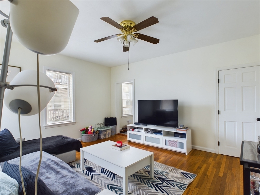
60 Trafford St Unit 2
Quincy, MA 02169
2 Weeks Ago
Favorites
60 Trafford St Unit 2

Favorites
Check Back Soon for Upcoming Availability
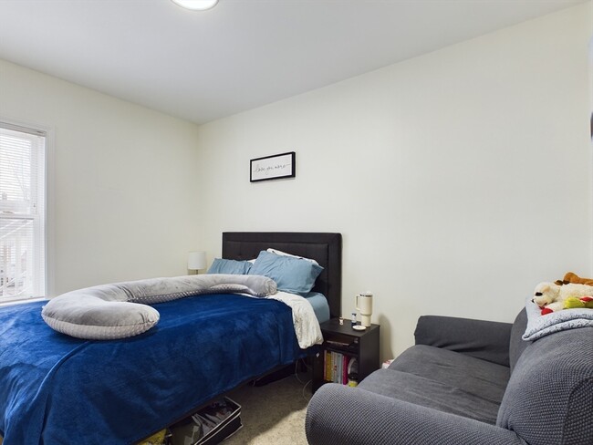
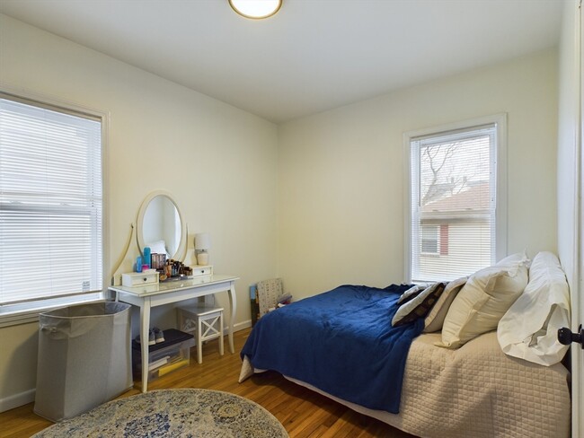
| Beds | Baths | Average SF |
|---|---|---|
| 2 Bedrooms 2 Bedrooms 2 Br | 1 Bath 1 Bath 1 Ba | 685 SF |
About This Property
This unit is close proximity to the highway, Bjs wholesale, and close to the red line train or bus to take you into the city. This unit is available for a September 1st move-in date!
60 Trafford St is an apartment community located in Norfolk County and the 02169 ZIP Code.
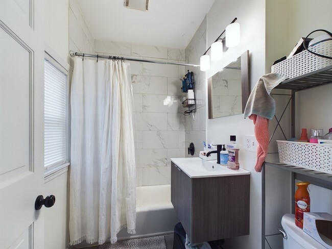
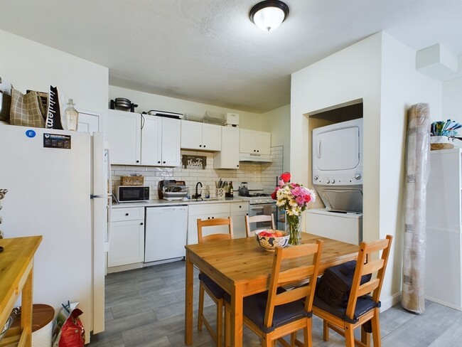
Apartment Features
- Laundry Facilities
Fees and Policies
The fees below are based on community-supplied data and may exclude additional fees and utilities.
- Dogs Allowed
-
Fees not specified
- Cats Allowed
-
Fees not specified
- Parking
-
Other--
Details
Property Information
-
2 units
Location
Get Directions
Situated in the south central portion of Quincy, South Quincy is a predominantly residential neighborhood teeming with historic homes and luxury apartments available for rent. South Quincy residents enjoy a peaceful atmosphere along with convenience to abundant shopping and dining options at Quincy Center, South Shore Plaza, and Marketplace at Braintree.
South Quincy is popular among commuters for its quick access to I-93, Route 3, MBTA buses, and the Red T Line. Downtown Boston sits just 12 miles north of South Quincy, brimming with metropolitan amenities and attractions. Several beaches are also proximate to South Quincy, including Mound Street Beach and Wollaston Beach.
Learn more about living in South QuincyBelow are rent ranges for similar nearby apartments
Amenities
- Laundry Facilities
Education
| Colleges & Universities | Distance | ||
|---|---|---|---|
| Colleges & Universities | Distance | ||
| Drive: | 17 min | 7.3 mi | |
| Drive: | 13 min | 7.4 mi | |
| Drive: | 16 min | 7.9 mi | |
| Drive: | 17 min | 9.8 mi |
60 Trafford St Unit 2 is within 17 minutes or 7.3 miles from Curry College. It is also near UMass Boston and Massasoit C.C., Canton Campus.
Transportation options available in Quincy include Quincy Adams Station, located 0.5 mile from 60 Trafford St Unit 2. 60 Trafford St Unit 2 is near General Edward Lawrence Logan International, located 12.7 miles or 21 minutes away.
| Transit / Subway | Distance | ||
|---|---|---|---|
| Transit / Subway | Distance | ||
|
|
Walk: | 8 min | 0.5 mi |
|
|
Drive: | 5 min | 2.6 mi |
|
|
Drive: | 6 min | 2.8 mi |
|
|
Drive: | 8 min | 3.6 mi |
|
|
Drive: | 9 min | 4.7 mi |
| Commuter Rail | Distance | ||
|---|---|---|---|
| Commuter Rail | Distance | ||
|
|
Drive: | 3 min | 1.5 mi |
|
|
Drive: | 5 min | 2.5 mi |
| Drive: | 7 min | 3.3 mi | |
|
|
Drive: | 10 min | 5.5 mi |
|
|
Drive: | 12 min | 6.1 mi |
| Airports | Distance | ||
|---|---|---|---|
| Airports | Distance | ||
|
General Edward Lawrence Logan International
|
Drive: | 21 min | 12.7 mi |
Time and distance from 60 Trafford St Unit 2.
| Shopping Centers | Distance | ||
|---|---|---|---|
| Shopping Centers | Distance | ||
| Walk: | 16 min | 0.9 mi | |
| Walk: | 17 min | 0.9 mi | |
| Walk: | 18 min | 0.9 mi |
60 Trafford St Unit 2 has 3 shopping centers within 0.9 mile, which is about a 18-minute walk. The miles and minutes will be for the farthest away property.
| Parks and Recreation | Distance | ||
|---|---|---|---|
| Parks and Recreation | Distance | ||
|
Adams National Historical Park
|
Drive: | 4 min | 1.9 mi |
|
Squantum Point Park
|
Drive: | 13 min | 5.3 mi |
|
Webb Memorial State Park
|
Drive: | 13 min | 5.9 mi |
|
Blue Hills Reservation
|
Drive: | 12 min | 6.7 mi |
|
Houghton's Pond Recreation Area
|
Drive: | 12 min | 6.7 mi |
60 Trafford St Unit 2 has 5 parks within 6.7 miles, including Adams National Historical Park, Squantum Point Park, and Webb Memorial State Park.
| Hospitals | Distance | ||
|---|---|---|---|
| Hospitals | Distance | ||
| Drive: | 9 min | 4.7 mi | |
| Drive: | 9 min | 4.8 mi | |
| Drive: | 9 min | 6.0 mi |
60 Trafford St Unit 2 has 3 hospitals within 6.0 miles, the nearest is Beth Israel Deaconess Hospital - Milton which is 4.7 miles away and a 9 minute drive.
You May Also Like
Similar Rentals Nearby


What Are Walk Score®, Transit Score®, and Bike Score® Ratings?
Walk Score® measures the walkability of any address. Transit Score® measures access to public transit. Bike Score® measures the bikeability of any address.
What is a Sound Score Rating?
A Sound Score Rating aggregates noise caused by vehicle traffic, airplane traffic and local sources
60 Trafford St
Quincy, MA 02169