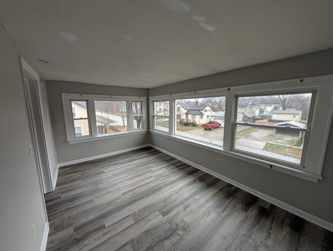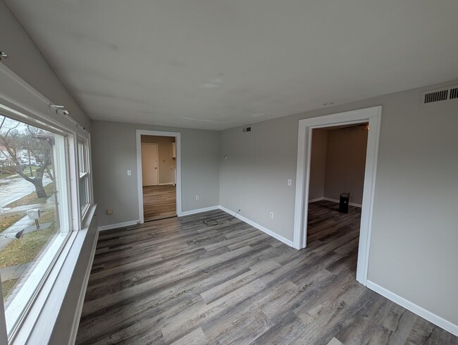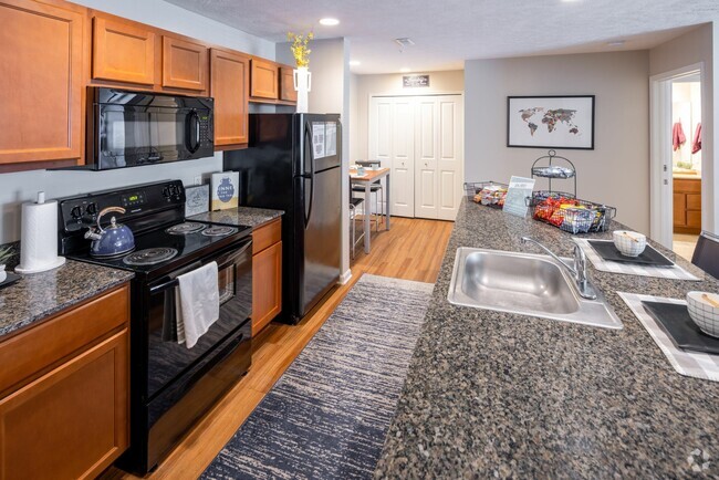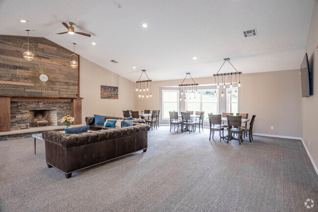
-
Monthly Rent
$1,000
-
Bedrooms
2 bd
-
Bathrooms
1 ba
-
Square Feet
870 sq ft
Details

 This Property
 Available Property
Ravenna is a small city located about twenty miles east of Akron and forty miles southeast of Cleveland. Like many communities in the region, Ravenna has a rich history as an industrial town, and remains an active manufacturing center today. The city of Kent sits just west of town, and many students, faculty, and staff members from Kent State University choose to call Ravenna their home. The city is surrounded by lush nature preserves, allowing you to easily explore the region’s forests and lakes on the weekends—the gorgeous West Branch State Park and Kirwan Reservoir in particular offer a terrific venue for hiking, camping, and boating.
Learn more about living in Ravenna| Colleges & Universities | Distance | ||
|---|---|---|---|
| Colleges & Universities | Distance | ||
| Drive: | 11 min | 5.3 mi | |
| Drive: | 30 min | 21.3 mi | |
| Drive: | 34 min | 21.5 mi | |
| Drive: | 42 min | 24.3 mi |
Transportation options available in Ravenna include Warrensville (Blue Line), located 28.4 miles from 608 W Highland Ave Unit UP. 608 W Highland Ave Unit UP is near Akron-Canton Regional, located 30.9 miles or 41 minutes away.
| Transit / Subway | Distance | ||
|---|---|---|---|
| Transit / Subway | Distance | ||
|
|
Drive: | 40 min | 28.4 mi |
|
|
Drive: | 41 min | 28.9 mi |
|
|
Drive: | 42 min | 29.3 mi |
|
|
Drive: | 44 min | 30.1 mi |
|
|
Drive: | 45 min | 30.2 mi |
| Commuter Rail | Distance | ||
|---|---|---|---|
| Commuter Rail | Distance | ||
| Drive: | 33 min | 18.6 mi | |
| Drive: | 42 min | 20.3 mi | |
| Drive: | 30 min | 21.2 mi | |
| Drive: | 42 min | 22.5 mi | |
| Drive: | 38 min | 24.5 mi |
| Airports | Distance | ||
|---|---|---|---|
| Airports | Distance | ||
|
Akron-Canton Regional
|
Drive: | 41 min | 30.9 mi |
Time and distance from 608 W Highland Ave Unit UP.
| Shopping Centers | Distance | ||
|---|---|---|---|
| Shopping Centers | Distance | ||
| Walk: | 7 min | 0.4 mi | |
| Walk: | 20 min | 1.1 mi | |
| Drive: | 4 min | 1.4 mi |
| Parks and Recreation | Distance | ||
|---|---|---|---|
| Parks and Recreation | Distance | ||
|
West Branch State Park
|
Drive: | 14 min | 7.3 mi |
|
Munroe Falls Metro Park
|
Drive: | 27 min | 12.5 mi |
|
Wood Hollow
|
Drive: | 25 min | 13.5 mi |
| Hospitals | Distance | ||
|---|---|---|---|
| Hospitals | Distance | ||
| Drive: | 3 min | 1.5 mi |
| Military Bases | Distance | ||
|---|---|---|---|
| Military Bases | Distance | ||
| Drive: | 105 min | 84.4 mi | |
| Drive: | 108 min | 86.7 mi |
You May Also Like
Similar Rentals Nearby
What Are Walk Score®, Transit Score®, and Bike Score® Ratings?
Walk Score® measures the walkability of any address. Transit Score® measures access to public transit. Bike Score® measures the bikeability of any address.
What is a Sound Score Rating?
A Sound Score Rating aggregates noise caused by vehicle traffic, airplane traffic and local sources
