Apartments for Rent in Queens NY - 2,456 Rentals
Find the Perfect Queens, NY Apartment
Queens, NY Apartments for Rent
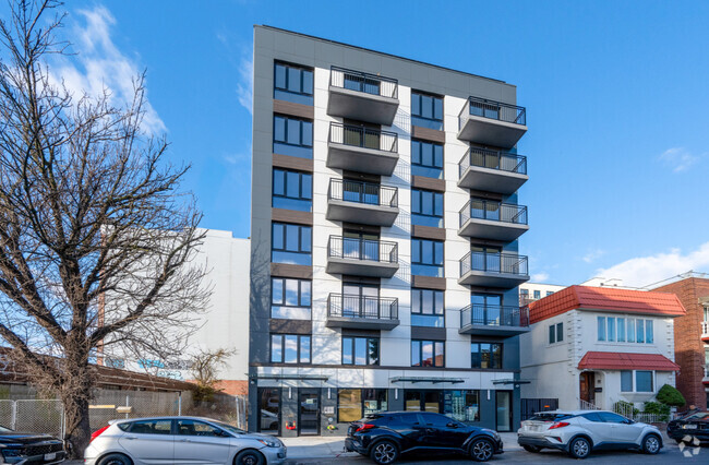
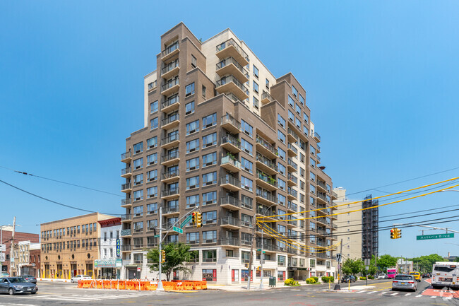
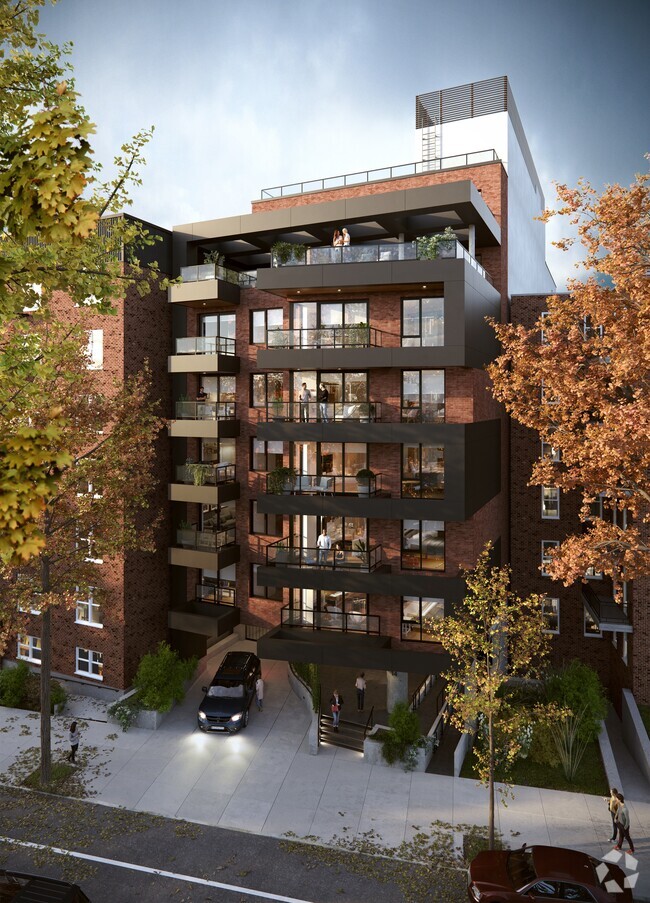
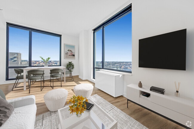
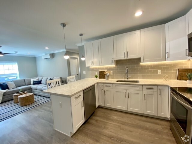
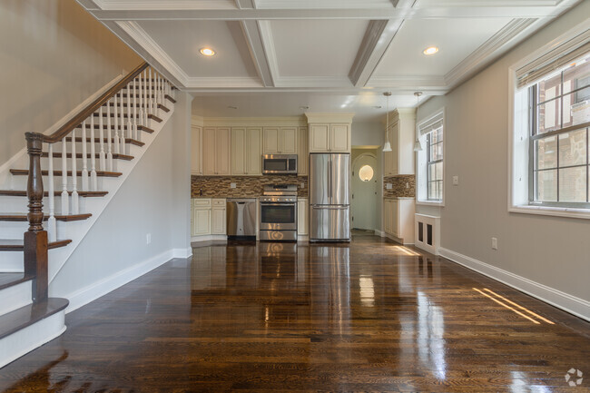
Queens offers a wide variety of rental options, catering to a wide range of lifestyles and budgets. You’ll find cozy studios that appeal to students and professionals, spacious one-bedroom apartments for couples or singles who want extra room, and two-bedroom units ideal for small families or roommates. Townhomes are also available, providing larger living spaces and more privacy while still enjoying the conveniences of rental living. Whether you need a short-term lease or plan to stay long-term, there’s an apartment for rent in Queens that meets your needs.
Popular Neighborhoods in Queens
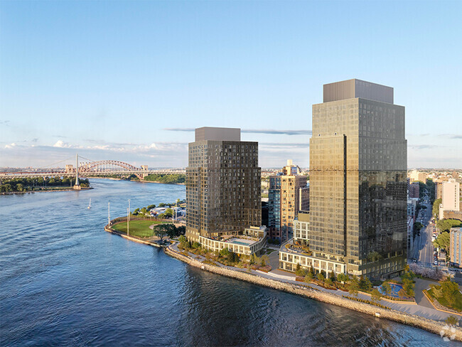
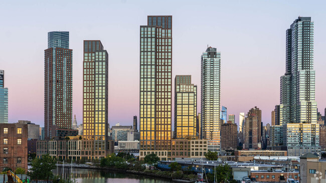
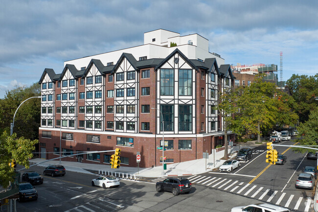
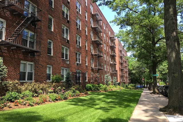
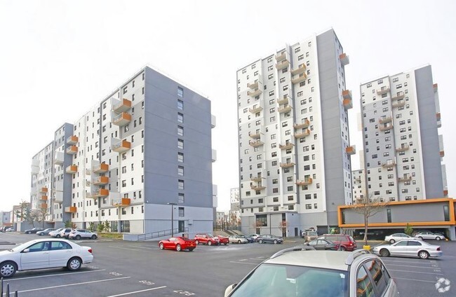
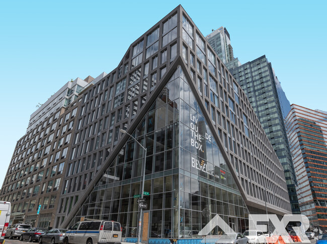
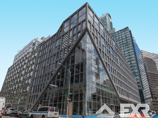
Each neighborhood in Queens has its own charm and appeal. Astoria is known for its food scene and proximity to Manhattan. Long Island City offers luxury high-rise apartments with stunning views of the East River. Forest Hills blends suburban charm with city convenience, making it popular for those looking for more space. Jackson Heights boasts a diverse cultural scene and historic architecture, while Flushing offers access to some of the best international cuisine in the city.
Queens is also home to several universities, such as Queens College, St. John’s University, and LaGuardia Community College. These institutions attract students and faculty looking for nearby rental options with easy access to classes, libraries, and other campus resources. Living near these campuses offers the added convenience of nearby shops, dining, and public transportation.
Amenities That Matter to Queens Renters
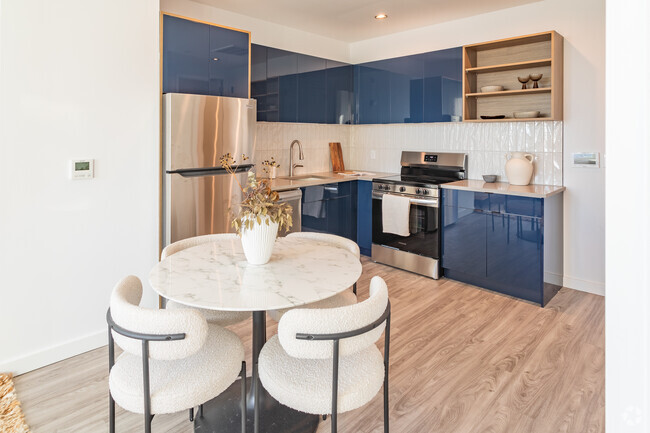
Modern Queens apartments offer a range of amenities designed to make life easier and more comfortable. Pet-friendly policies are common, allowing renters to bring their furry companions. Many apartments feature in-unit washers and dryers, offering a convenient solution for laundry. Fitness centers and pools are popular, providing on-site opportunities for exercise and relaxation. With sustainability in mind, more communities are installing EV charging stations to support electric vehicle owners.
Some apartment buildings also provide additional conveniences like package lockers, rooftop lounges, and co-working spaces. Smart home features, such as keyless entry and app-based thermostat control, are becoming more widespread, appealing to renters seeking modern, connected living.
Local Attractions and Transit in Queens
Living in Queens means easy access to some of New York City’s top attractions and green spaces. Residents can explore Flushing Meadows-Corona Park, home to the USTA Billie Jean King National Tennis Center and the Queens Museum. Citi Field, where the New York Mets play, is another popular destination for sports fans. The borough also offers a thriving arts scene, with the Museum of the Moving Image and several independent theaters hosting performances year-round.
Public transportation in Queens makes commuting throughout the city convenient. The MTA subway and bus systems connect neighborhoods across Queens to Manhattan, Brooklyn, and beyond. Additionally, access to the Long Island Rail Road (LIRR) ensures quick travel to Long Island and other parts of New York. Whether you need to commute to work or enjoy a weekend getaway, Queens offers seamless transit options.
Find Your Next Apartment for Rent in Queens
Queens offers the perfect balance of city life and suburban comfort, making it an ideal place to call home. Whether you prefer the urban lifestyle of Long Island City, the cultural diversity of Jackson Heights, or the relaxed vibe of Forest Hills, there’s an apartment for rent in Queens that fits your lifestyle. With a variety of rental options, desirable amenities, and easy access to transportation, it’s easier than ever to find your next home in this dynamic borough. Start your search today and discover the perfect place to live in one of New York City’s most exciting and diverse areas.
Queens, NY Rental Insights
Transportation
Transit options in Queens vary, but overall, it has a transit score of 85.
Education
In Queens, you’ll find top-ranking elementary schools like Ps 121, The Active Learning Elementary School, and Ps 234.
Queens is home to some top-ranking middle schools, including Scholars Academy, Jhs 74 Nathaniel Hawthorne, and Jhs 67 Louis Pasteur.
Moving is tough for high school students! Look for Queens apartments near top-ranking high schools like Townsend Harris High School, Queens High School For The Sciences At York College, and Scholars Academy.
If you’re a student moving to an apartment in Queens, you’ll have access to York College, St. John's University, and Queens College.
Helpful Rental Guides for Queens, NY
Explore More on the RenterverseSearch Nearby Rentals
Apartment Rentals Near Queens
Neighborhood Apartment Rentals
- Southeast Queens Apartments for Rent
- East New York Apartments for Rent
- South Shore Queens Apartments for Rent
- Central Queens Apartments for Rent
- Flatbush Apartments for Rent
- Bushwick Apartments for Rent
- Northeast Queens Apartments for Rent
- Williamsburg Apartments for Rent
- Prospect Park Apartments for Rent
- South Shore Brooklyn Apartments for Rent
