
$1,200 / Month
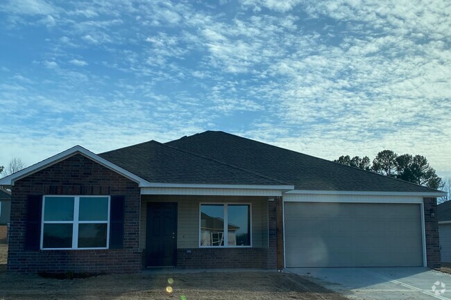
630 McKnight Ave
West Fork, AR 72774
2 Weeks Ago
Favorites
630 McKnight Ave

Favorites
Check Back Soon for Upcoming Availability
| Beds | Baths | Average SF |
|---|---|---|
| 4 Bedrooms 4 Bedrooms 4 Br | 2 Baths 2 Baths 2 Ba | 1,700 SF |
About This Property
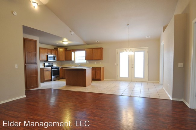
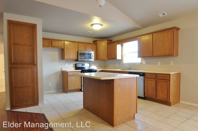
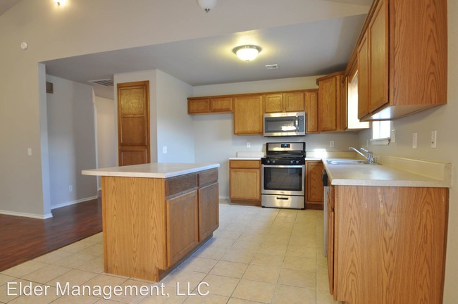
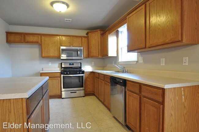
(479) 756-5320 x1 - NEWLY REMODELED - 4 Bedroom / 2 Bathroom / 2 Car Garage - This lovely home is minutes from I49 in West Fork. Beautifully remodeled home with lots of upgrades. Call us today at 479-756-5320 ext 1 to schedule a tour. (RLNE4259113) Pet policies: Small Dogs Allowed, Cats Allowed.
630 McKnight Ave is a house located in Washington County and the 72774 ZIP Code. This area is served by the West Fork attendance zone.
Fees and Policies
The fees below are based on community-supplied data and may exclude additional fees and utilities.
- Dogs Allowed
-
Fees not specified
-
Weight limit--
-
Pet Limit--
Location
Get Directions
Education
| Colleges & Universities | Distance | ||
|---|---|---|---|
| Colleges & Universities | Distance | ||
| Drive: | 18 min | 12.0 mi | |
| Drive: | 40 min | 34.7 mi | |
| Drive: | 56 min | 42.1 mi |
630 McKnight Ave is within 18 minutes or 12.0 miles from University of Arkansas. It is also near Northwest Ark. Comm. Coll. and John Brown University.
Schools


Public Elementary & Middle School
Grades 5-8
241 Students
Attendance Zone
Public Elementary School
Grades PK-4
340 Students
Attendance Zone
Public High School
Grades 9-12
291 Students
Attendance Zone
Private Elementary, Middle & High School
Grades PK-12
154 Students
Nearby
Private Elementary, Middle & High School
Grades PK-12
372 Students
Nearby
School data provided by
 The GreatSchools Rating helps parents compare schools within a state based on a variety of school quality indicators and provides a helpful picture of how effectively each school serves all of its students. Ratings are on a scale of 1 (below average) to 10 (above average) and can include test scores, college readiness, academic progress, advanced courses, equity, discipline and attendance data. We also advise parents to visit schools, consider other information on school performance and programs, and consider family needs as part of the school selection process.
View GreatSchools Rating Methodology
View GreatSchools Rating Methodology
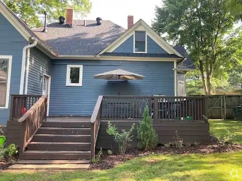
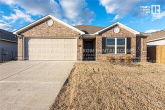
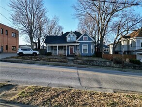
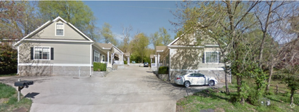
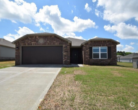
You May Also Like
Similar Rentals Nearby

What Are Walk Score®, Transit Score®, and Bike Score® Ratings?
Walk Score® measures the walkability of any address. Transit Score® measures access to public transit. Bike Score® measures the bikeability of any address.
What is a Sound Score Rating?
A Sound Score Rating aggregates noise caused by vehicle traffic, airplane traffic and local sources
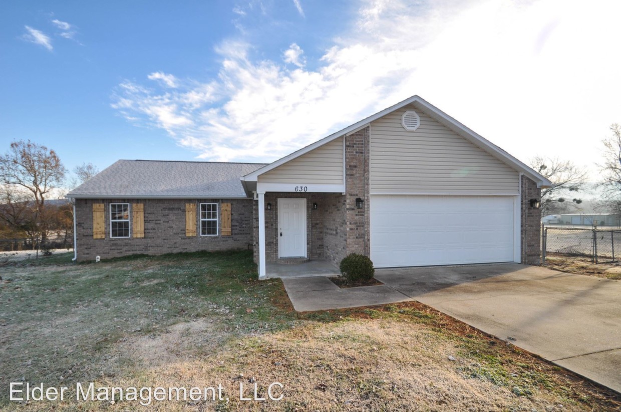
630 McKnight Ave
West Fork, AR 72774