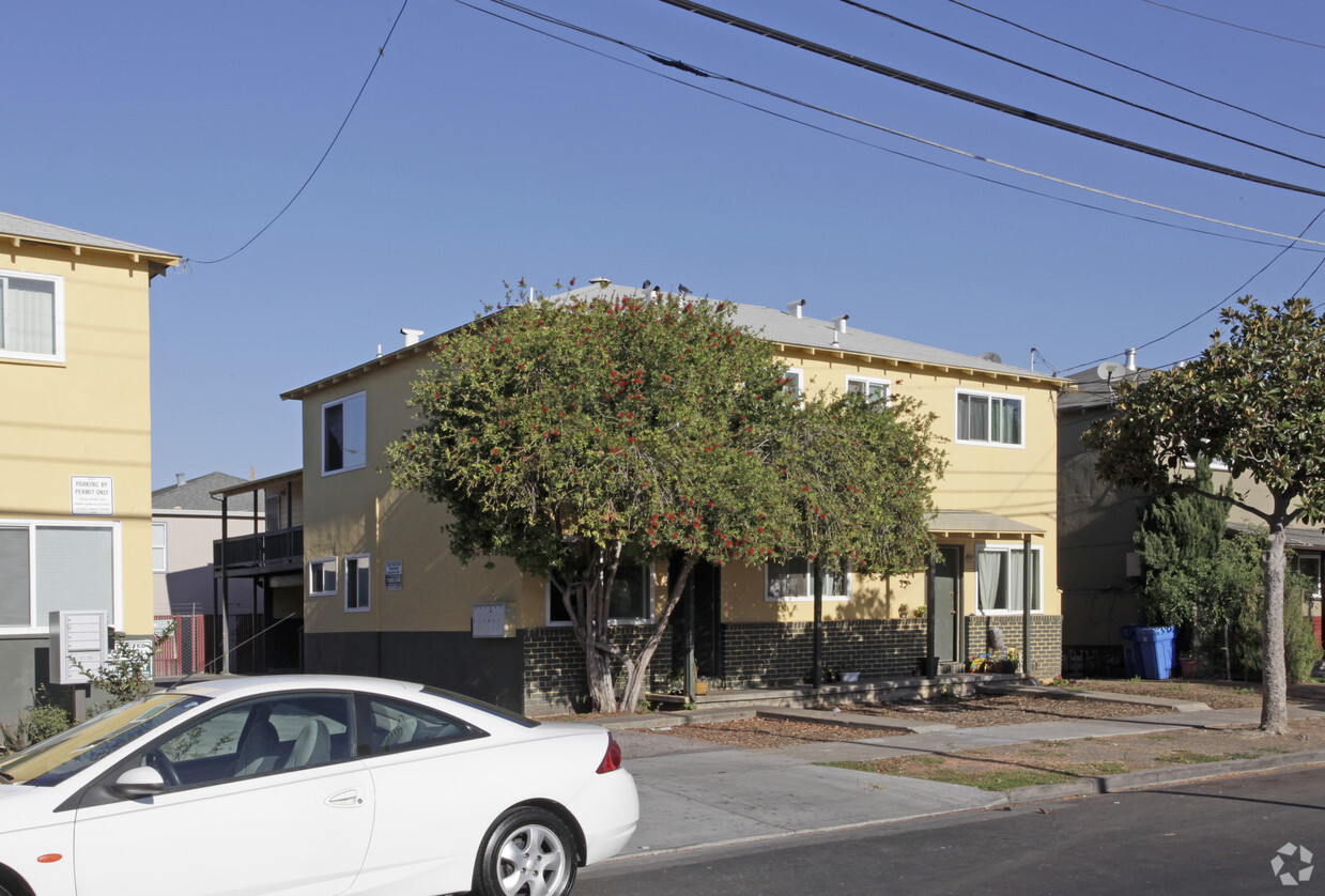
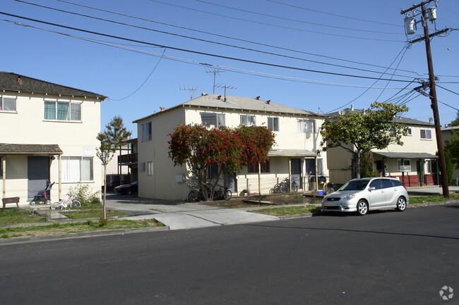
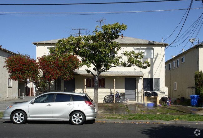
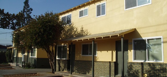
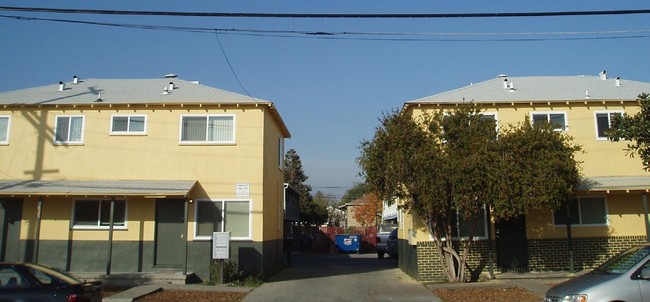
635 Laurel St
635 Laurel St,
Redwood City,
CA
94063
2 Weeks Ago
Favorites
635 Laurel St
Favorites
Check Back Soon for Upcoming Availability
| Beds | Baths | Average SF | Availability |
|---|---|---|---|
| Studio Studio 0 Br | 1 Bath 1 Bath 1 Ba | 250 SF | Not Available |
| 1 Bedroom 1 Bedroom 1 Br | 1 Bath 1 Bath 1 Ba | 675 SF | Not Available |
| 2 Bedrooms 2 Bedrooms 2 Br | 1 Bath 1 Bath 1 Ba | 730 SF | Not Available |
About 635 Laurel St Redwood City, CA 94063
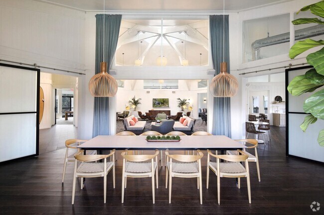
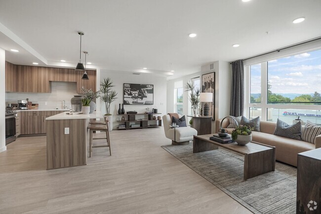
At 635 Laurel St in Redwood City, experience stylish living. These apartments are located on Laurel St. in Redwood City. The leasing staff is excited to help you find your perfect new home. Come for a visit to see the current floorplan options. At 635 Laurel St you're right at home.
635 Laurel St is an apartment community located in San Mateo County and the 94063 ZIP Code. This area is served by the Sequoia Union High attendance zone.
Fees and Policies
Details
Property Information
-
Built in 1954
-
6 units/2 stories
Location
Get Directions
Though difficult to pronounce, there’s nothing complicated about living in Staumbaugh Heller. With an incredible location in the Bay area city of Redwood City, this neighborhood boasts extremely sunny weather, large technology companies, affluent residential areas, public transportation, and highly walkable streets.
In the heart of the Silicon Valley, Staumbaugh Heller is also known for its proximity to the active deep water port in the southern San Francisco Bay. This lively neighborhood is just minutes from popular parks and nature preserves right on the coast. Though bayside views are something to brag about, the proximity to Redwood City’s downtown theater and the San Mateo County History Museum aren’t too shabby either!
Local restaurants and bars, popular chains, community parks, and grocery stores reside around town, making this neighborhood a premier destination to put down roots and find the perfect apartment.
Learn more about living in Staumbaugh HellerBelow are rent ranges for similar nearby apartments
Education
| Colleges & Universities | Distance | ||
|---|---|---|---|
| Colleges & Universities | Distance | ||
| Drive: | 8 min | 3.1 mi | |
| Drive: | 11 min | 4.3 mi | |
| Drive: | 17 min | 6.6 mi | |
| Drive: | 15 min | 9.6 mi |
635 Laurel St is within 8 minutes or 3.1 miles from Menlo College. It is also near Canada College and Stanford University.
Schools


Public Elementary & Middle School
Grades K-8
648 Students
Attendance Zone
Public Elementary School
Grades K-5
355 Students
Nearby
Public Elementary School
Grades K-5
367 Students
Nearby
Charter High School
Grades 9-12
389 Students
Nearby
Public High School
Grades 9-12
1,909 Students
Attendance Zone
Private Elementary & Middle School
Grades PK-8
Nearby
Private Elementary, Middle & High School
Grades K-12
33 Students
Nearby
School data provided by
 The GreatSchools Rating helps parents compare schools within a state based on a variety of school quality indicators and provides a helpful picture of how effectively each school serves all of its students. Ratings are on a scale of 1 (below average) to 10 (above average) and can include test scores, college readiness, academic progress, advanced courses, equity, discipline and attendance data. We also advise parents to visit schools, consider other information on school performance and programs, and consider family needs as part of the school selection process.
View GreatSchools Rating Methodology
View GreatSchools Rating Methodology
Transportation options available in Redwood City include Bayshore/Nasa Station, located 12.0 miles from 635 Laurel St. 635 Laurel St is near San Francisco International, located 15.5 miles or 22 minutes away, and Metro Oakland International, located 31.2 miles or 40 minutes away.
| Transit / Subway | Distance | ||
|---|---|---|---|
| Transit / Subway | Distance | ||
|
|
Drive: | 16 min | 12.0 mi |
|
|
Drive: | 16 min | 12.3 mi |
|
|
Drive: | 17 min | 12.5 mi |
|
|
Drive: | 17 min | 12.6 mi |
|
|
Drive: | 17 min | 12.9 mi |
| Commuter Rail | Distance | ||
|---|---|---|---|
| Commuter Rail | Distance | ||
| Walk: | 18 min | 1.0 mi | |
| Drive: | 8 min | 3.4 mi | |
| Drive: | 8 min | 3.5 mi | |
| Drive: | 11 min | 4.6 mi | |
| Drive: | 9 min | 5.9 mi |
| Airports | Distance | ||
|---|---|---|---|
| Airports | Distance | ||
|
San Francisco International
|
Drive: | 22 min | 15.5 mi |
|
Metro Oakland International
|
Drive: | 40 min | 31.2 mi |
Time and distance from 635 Laurel St.
| Shopping Centers | Distance | ||
|---|---|---|---|
| Shopping Centers | Distance | ||
| Walk: | 5 min | 0.3 mi | |
| Walk: | 15 min | 0.8 mi | |
| Walk: | 15 min | 0.8 mi |
635 Laurel St has 3 shopping centers within 0.8 mile, which is about a 15-minute walk. The miles and minutes will be for the farthest away property.
| Parks and Recreation | Distance | ||
|---|---|---|---|
| Parks and Recreation | Distance | ||
|
Red Morton Park
|
Drive: | 6 min | 2.0 mi |
|
Holbrook-Palmer Park
|
Drive: | 7 min | 2.4 mi |
|
Stulsaft Park
|
Drive: | 8 min | 2.9 mi |
|
Bayfront Park
|
Drive: | 8 min | 3.4 mi |
|
Fremont Park
|
Drive: | 9 min | 3.8 mi |
635 Laurel St has 5 parks within 3.8 miles, including Red Morton Park, Holbrook-Palmer Park, and Stulsaft Park.
| Hospitals | Distance | ||
|---|---|---|---|
| Hospitals | Distance | ||
| Drive: | 3 min | 1.1 mi | |
| Drive: | 7 min | 2.5 mi | |
| Drive: | 13 min | 5.2 mi |
635 Laurel St has 3 hospitals within 5.2 miles, the nearest is Kaiser Foundation Hospital - Redwood City which is 1.1 miles away and a 3 minute drive.
| Military Bases | Distance | ||
|---|---|---|---|
| Military Bases | Distance | ||
| Drive: | 19 min | 12.4 mi |
635 Laurel St is 12.4 miles and a 19 minute drive from Ames Research Center.
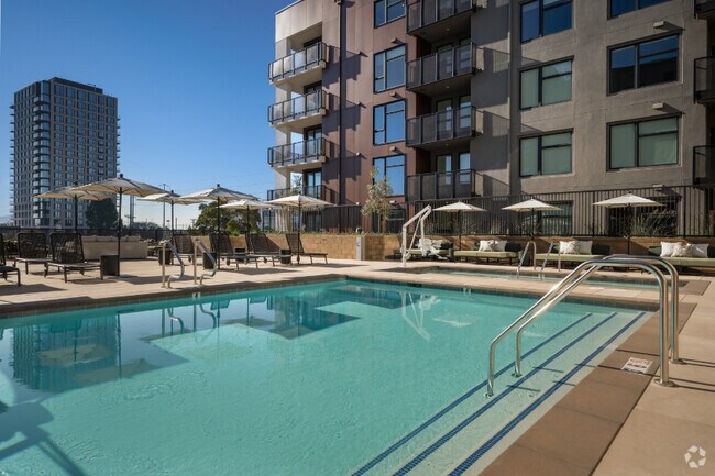
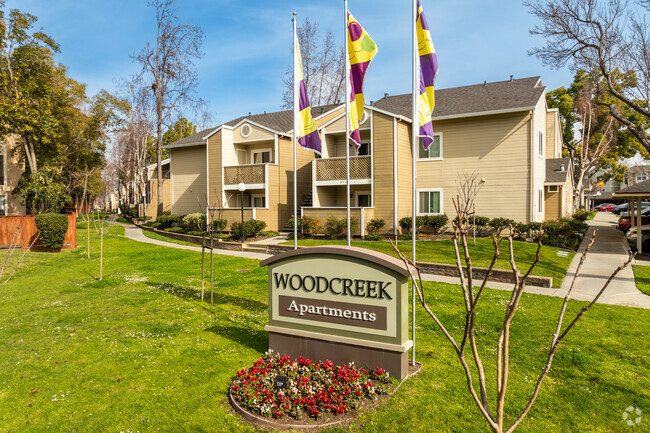
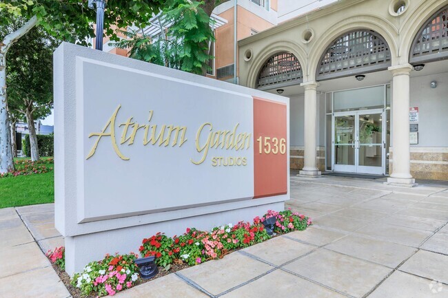
You May Also Like
What neighborhood is the property located in?
635 Laurel St Redwood City, CA 94063 is in Staumbaugh Heller in the city of Redwood City. Here you’ll find three shopping centers within 0.8 mile of the property. Five parks are within 3.8 miles, including Red Morton Park, Holbrook-Palmer Park, and Stulsaft Park.
Similar Rentals Nearby


What Are Walk Score®, Transit Score®, and Bike Score® Ratings?
Walk Score® measures the walkability of any address. Transit Score® measures access to public transit. Bike Score® measures the bikeability of any address.
What is a Sound Score Rating?
A Sound Score Rating aggregates noise caused by vehicle traffic, airplane traffic and local sources

635 Laurel St
Redwood City, CA 94063
Responded To This Review