
64 Lane Park
Boston, MA 02135

-
Monthly Rent
$13,600
-
Bedrooms
6 bd
-
Bathrooms
4 ba
-
Square Feet
2,400 sq ft
Details
About This Property
– Summary – Looking for a spacious place to call home in Brighton? This 8-bed, 4-bath rental has everything you need and more! With plenty of room for 2023-08-28, this rental won't last long. Act fast and contact us today for more information! If the price isn’t right or you don’t love the location, reach out to me anyways as I have many available units that will better suit your preferences.? – Transportation – Tram: B South Street (0.21 mi) Bus: 501 Winship St @ Union St (0.42 mi) Bus: 57 Washington St @ Lake St (0.44 mi) Bus: 86 Chestnut Hill Ave @ South St (0.23 mi) Bus: 65 Chestnut Hill Ave @ Veronica Smith Ctr (0.48 mi) --------- All information is from reliable sources but not guaranteed. Photos of the properties reflect conditions at the time the photos were obtained. We are pledged to the letter and spirit of U.S. policy for the achievement of equal housing opportunity throughout the Nation. We encourage and support an affirmative advertising and marketing program in which there are no barriers to obtaining housing because of race, color, religion, sex, handicap, familial status, or national origin.
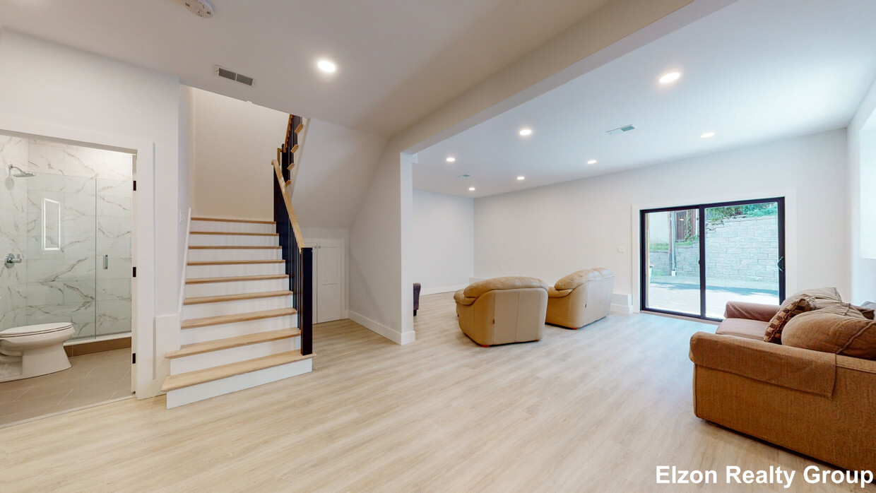
64 Lane Park is a townhome located in Suffolk County and the 02135 ZIP Code. This area is served by the Boston Public Schools attendance zone.
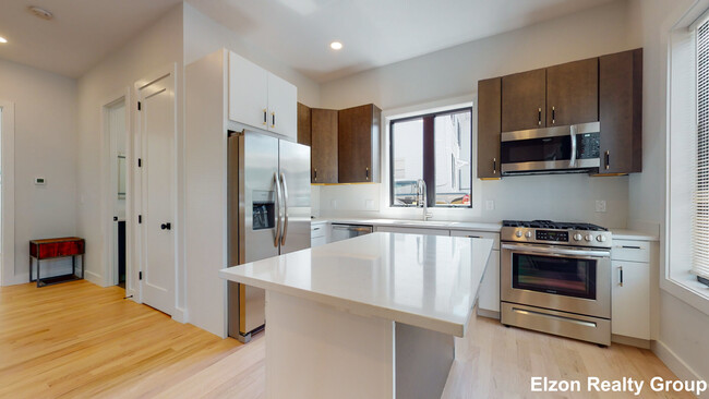
Townhome Features
Washer/Dryer
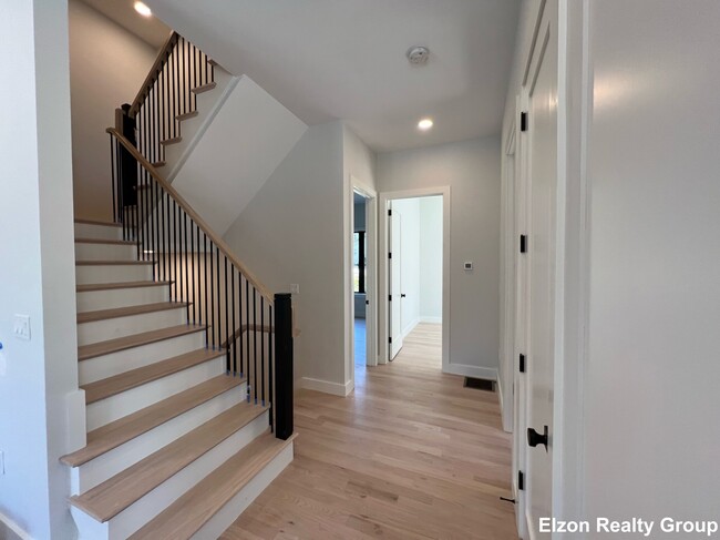
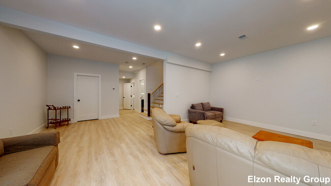
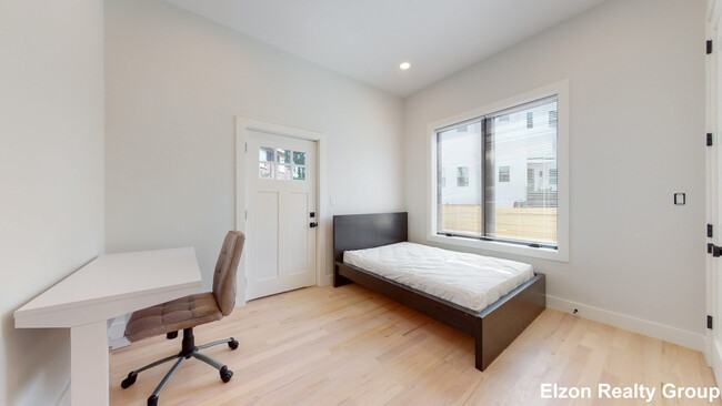
Hardwood Floors
Microwave
Refrigerator
- Washer/Dryer
- Microwave
- Refrigerator
- Hardwood Floors
- Porch
Fees and Policies
The fees below are based on community-supplied data and may exclude additional fees and utilities.
- Parking
-
Surface Lot--
Saint Elizabeth’s is a Brighton neighborhood situated about 10 miles away from Boston. Thanks to Saint Elizabeth’s top border sitting on Highway 20, commuting in and out of Brighton is easy. Some residents travel by car, but buses and railways make commuting via public transportation a breeze.
The neighborhood’s best amenities are two world-renowned hospitals, Saint Elizabeth’s Medical Center and Franciscan Children’s, that sit on the edge of town. Other great amenities of Saint Elizabeth’s include many local parks like Ringer Playground and Chestnut Hill Reservoir, which has great trails and greenspace. This neighborhood is also equipped with cozy coffee shops, restaurants serving international and American classics, and shopping plazas with grocers and convenience stores.
Saint Elizabeth’s has several rental options ranging from apartments to single-family homes.
Learn more about living in St Elizabeth's| Colleges & Universities | Distance | ||
|---|---|---|---|
| Colleges & Universities | Distance | ||
| Walk: | 9 min | 0.5 mi | |
| Walk: | 15 min | 0.8 mi | |
| Drive: | 7 min | 3.3 mi | |
| Drive: | 9 min | 3.5 mi |
Transportation options available in Boston include South Street Station, located 0.3 mile from 64 Lane Park. 64 Lane Park is near General Edward Lawrence Logan International, located 10.5 miles or 19 minutes away.
| Transit / Subway | Distance | ||
|---|---|---|---|
| Transit / Subway | Distance | ||
|
|
Walk: | 6 min | 0.3 mi |
|
|
Walk: | 10 min | 0.5 mi |
|
|
Walk: | 10 min | 0.6 mi |
|
|
Walk: | 11 min | 0.6 mi |
|
|
Walk: | 16 min | 0.8 mi |
| Commuter Rail | Distance | ||
|---|---|---|---|
| Commuter Rail | Distance | ||
|
|
Drive: | 8 min | 3.4 mi |
| Drive: | 9 min | 4.3 mi | |
|
|
Drive: | 9 min | 4.6 mi |
|
|
Drive: | 10 min | 4.6 mi |
|
|
Drive: | 12 min | 5.2 mi |
| Airports | Distance | ||
|---|---|---|---|
| Airports | Distance | ||
|
General Edward Lawrence Logan International
|
Drive: | 19 min | 10.5 mi |
Time and distance from 64 Lane Park.
| Shopping Centers | Distance | ||
|---|---|---|---|
| Shopping Centers | Distance | ||
| Drive: | 3 min | 1.4 mi | |
| Drive: | 4 min | 1.7 mi | |
| Drive: | 5 min | 1.8 mi |
| Parks and Recreation | Distance | ||
|---|---|---|---|
| Parks and Recreation | Distance | ||
|
Chestnut Hill Reservation
|
Walk: | 13 min | 0.7 mi |
|
Hammond Pond Reservation
|
Drive: | 4 min | 2.0 mi |
|
Frederick Law Olmsted National Historic Site
|
Drive: | 5 min | 2.4 mi |
|
John Fitzgerald Kennedy National Historic Site
|
Drive: | 6 min | 2.8 mi |
|
Coit Observatory
|
Drive: | 8 min | 3.8 mi |
| Hospitals | Distance | ||
|---|---|---|---|
| Hospitals | Distance | ||
| Drive: | 3 min | 1.2 mi | |
| Drive: | 4 min | 1.6 mi | |
| Drive: | 5 min | 2.8 mi |
| Military Bases | Distance | ||
|---|---|---|---|
| Military Bases | Distance | ||
| Drive: | 22 min | 12.7 mi | |
| Drive: | 28 min | 15.3 mi |
- Washer/Dryer
- Microwave
- Refrigerator
- Hardwood Floors
- Porch
64 Lane Park Photos
What Are Walk Score®, Transit Score®, and Bike Score® Ratings?
Walk Score® measures the walkability of any address. Transit Score® measures access to public transit. Bike Score® measures the bikeability of any address.
What is a Sound Score Rating?
A Sound Score Rating aggregates noise caused by vehicle traffic, airplane traffic and local sources
64 Lane Park
Boston, MA 02135