-
Monthly Rent
$2,750
-
Bedrooms
1 bd
-
Bathrooms
1 ba
-
Square Feet
Details
About This Property
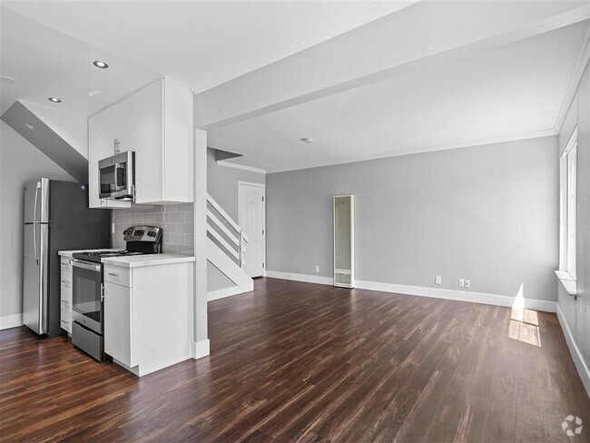
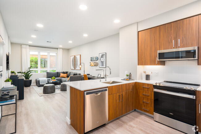
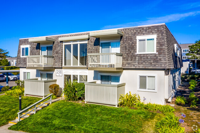
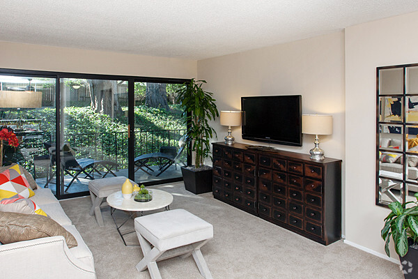
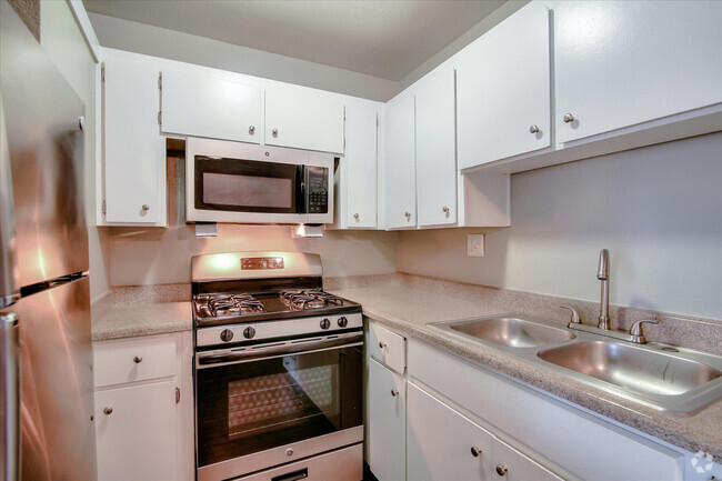
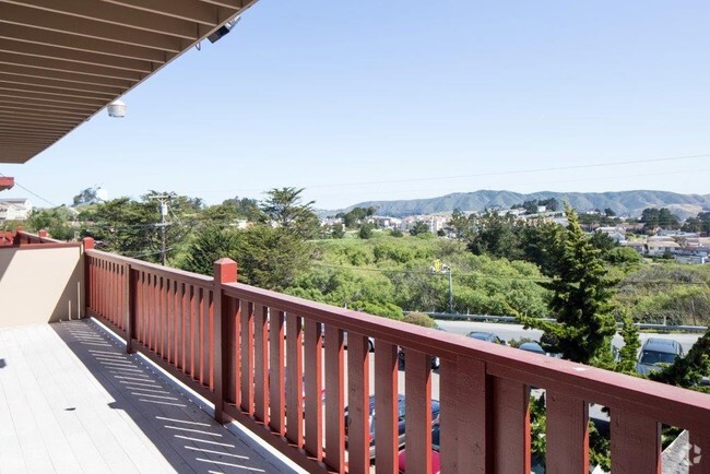
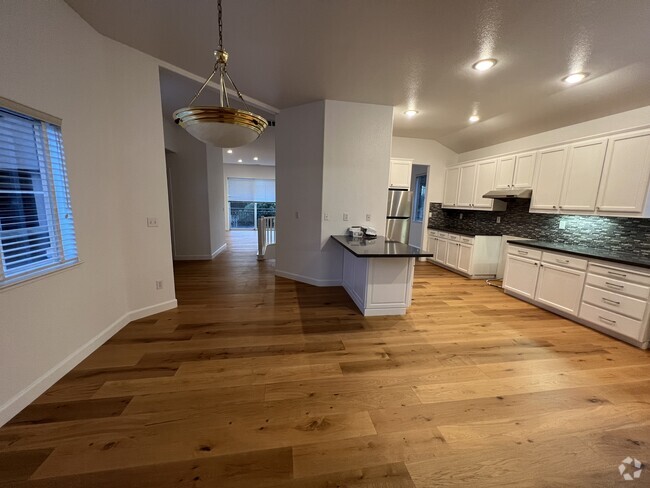
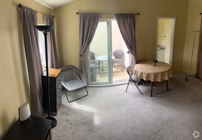
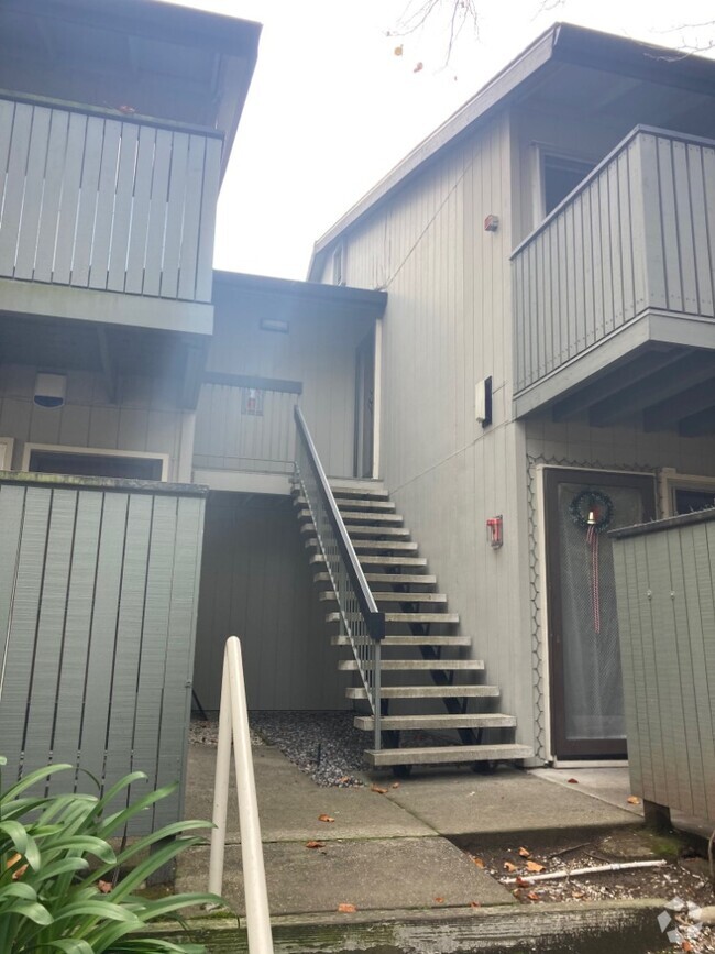
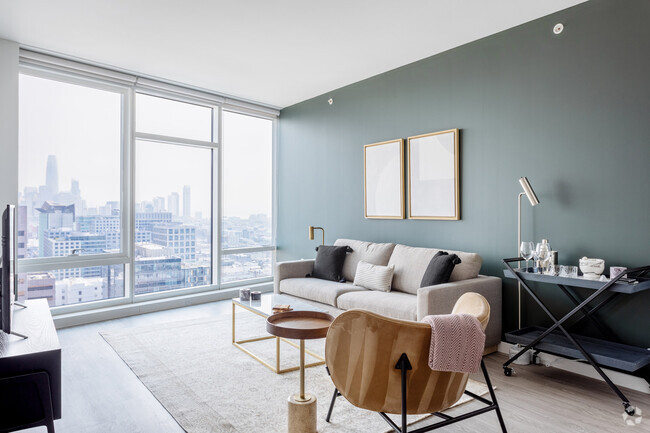
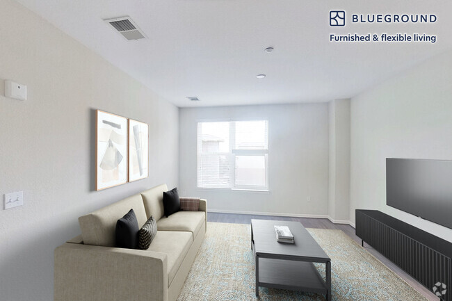
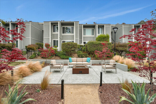
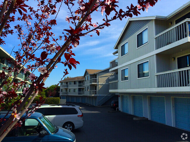
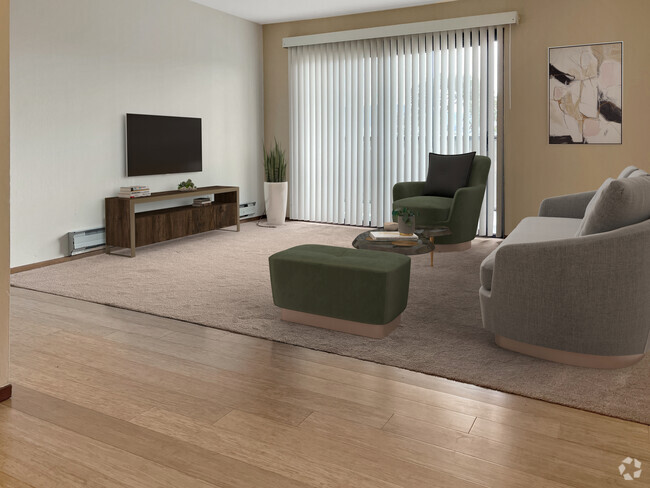
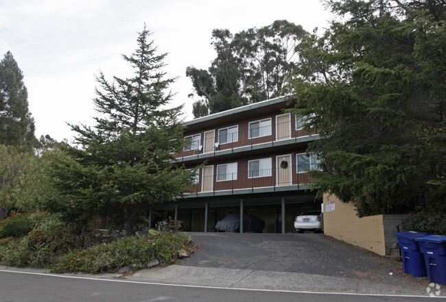
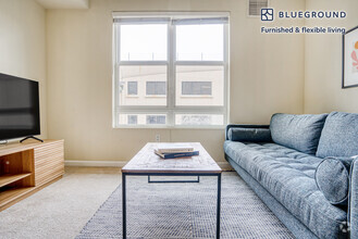
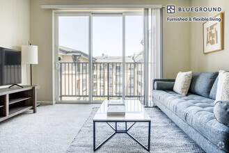
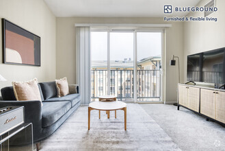
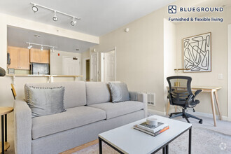
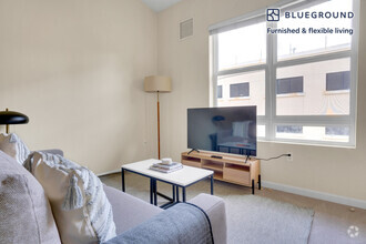
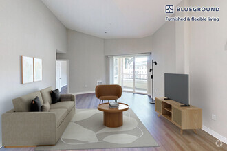
Gorgeous Sign Hill Remodeled Home $2750 1 Bedroom plus 1 Office The property is located next to the Sign Hill overlooking the South SF valley, one of the best neighborhoods, serene and beautiful, an oasis in the busy Bay Area, yet close to many places of interests and convenience: - 0.7 mile from downtown South San Francisco where City Hall, a public library, and numerous restaurants and shops are located. - 1.1 miles from the Sign Hill Park entrance - 0.9 miles from the Orange Memorial Park - 1.6 miles from the South San Francisco Bart Station - 1.4 miles from the Caltrain station - 10 min drive to SFO and Genentech. - 15-20 min drive to downtown San Francisco - Easy access to Skyline Blvd, 280/101 Freeway - Close proximity to Trader Joes, Costco, Safeway The property, boasted with lots of natural sunlight and a nice neighborhood, has 1 Bedroom 12'10" x 11'4" plus closet 1 Office 10'6" x 7'8" plus closet 1 Full bathroom Full size Washer and Dryer Private garage with 1 car parking and ample street parking It's one unit of the duplex. This unit doesn't have a back yard. ? Rental Terms: - $2750 per month - $3200 security deposit - Tenant pays all utilities (PG&;E, water, garbage, internet/cable) - Owner pays gardener - Non-smoking and no pet property - Minimum 1 year lease - Renter's insurance required - $40 application fee for every applicant 18 years or older ?
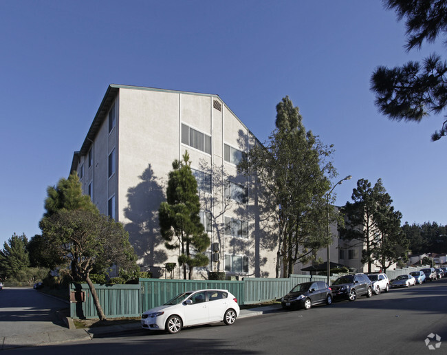
643 Park Way is a townhome located in San Mateo County and the 94080 ZIP Code. This area is served by the South San Francisco Unified attendance zone.
Folks in South San Francisco have easy access to The City via I-280, the 101, or BART rail service. This fact, coupled with the much lower crime rate and the area’s many excellent schools, makes South San Francisco apartments an appealing option for commuters, particularly those raising families.
Although primarily a residential community, South San Francisco does have a fairly active downtown scene, with much of the dining and entertainment centered around the intersection of Grande Avenue and Linden Avenue and shopping centers on the south side of town.
Many parks and nature preserves are scattered around the area, including the huge Sweeney Ridge and Fairway Park just to the west of the city limits. San Francisco International Airport sits directly south of town, making it highly convenient to travel anywhere.
Learn more about living in South San FranciscoColleges & Universities | Distance | ||
---|---|---|---|
Colleges & Universities | Distance | ||
Drive: | 11 min | 4.9 mi | |
Drive: | 15 min | 7.8 mi | |
Drive: | 15 min | 8.2 mi | |
Drive: | 21 min | 10.4 mi |
Transportation options available in South San Francisco include South San Francisco Station, located 1.9 miles from 643 Park Way. 643 Park Way is near San Francisco International, located 4.8 miles or 11 minutes away, and Metro Oakland International, located 29.2 miles or 43 minutes away.
Transit / Subway | Distance | ||
---|---|---|---|
Transit / Subway | Distance | ||
|
Drive: | 5 min | 1.9 mi |
|
Drive: | 5 min | 2.1 mi |
Drive: | 7 min | 2.7 mi | |
|
Drive: | 8 min | 3.5 mi |
|
Drive: | 10 min | 4.1 mi |
Commuter Rail | Distance | ||
---|---|---|---|
Commuter Rail | Distance | ||
Drive: | 4 min | 1.6 mi | |
Drive: | 6 min | 2.9 mi | |
Drive: | 10 min | 5.7 mi | |
Drive: | 11 min | 6.0 mi | |
Drive: | 11 min | 6.7 mi |
Airports | Distance | ||
---|---|---|---|
Airports | Distance | ||
San Francisco International
|
Drive: | 11 min | 4.8 mi |
Metro Oakland International
|
Drive: | 43 min | 29.2 mi |
Time and distance from 643 Park Way.
Shopping Centers | Distance | ||
---|---|---|---|
Shopping Centers | Distance | ||
Drive: | 3 min | 1.2 mi | |
Drive: | 4 min | 1.4 mi | |
Drive: | 4 min | 1.4 mi |
Parks and Recreation | Distance | ||
---|---|---|---|
Parks and Recreation | Distance | ||
Candlestick Point State Recreation Area
|
Drive: | 14 min | 6.9 mi |
San Bruno Mountain State Park
|
Drive: | 18 min | 8.1 mi |
Charles F. Hagar Planetarium
|
Drive: | 17 min | 8.5 mi |
San Francisco State Univ. Observatory
|
Drive: | 17 min | 8.5 mi |
Heron's Head Park
|
Drive: | 16 min | 9.6 mi |
Hospitals | Distance | ||
---|---|---|---|
Hospitals | Distance | ||
Drive: | 4 min | 1.5 mi | |
Drive: | 9 min | 4.3 mi | |
Drive: | 10 min | 5.9 mi |
Military Bases | Distance | ||
---|---|---|---|
Military Bases | Distance | ||
Drive: | 28 min | 12.5 mi | |
Drive: | 28 min | 13.0 mi |
You May Also Like
Similar Rentals Nearby
-
-
-
-
-
-
$7,5303 Beds, 2 Baths, 1,515 sq ftTownhome for Rent
-
-
-
$6,5503 Beds, 2.5 Baths, 1,200 sq ftTownhome for Rent
-
$5,5503 Beds, 3 Baths, 1,870 sq ftTownhome for Rent
What Are Walk Score®, Transit Score®, and Bike Score® Ratings?
Walk Score® measures the walkability of any address. Transit Score® measures access to public transit. Bike Score® measures the bikeability of any address.
What is a Sound Score Rating?
A Sound Score Rating aggregates noise caused by vehicle traffic, airplane traffic and local sources