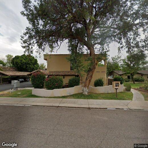
6516 N 14th St
6516 N 14th St
Phoenix, AZ 85014
2 Weeks Ago
Favorites
6516 N 14th St

Favorites
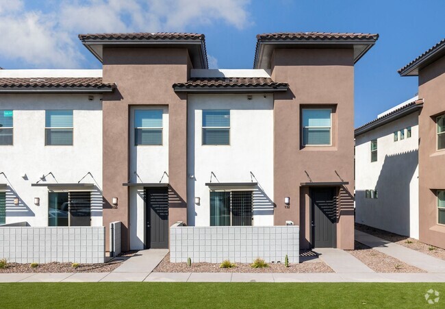
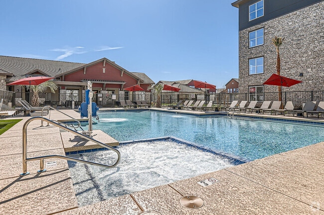
Check Back Soon for Upcoming Availability
Property Address:
6516 N 14th St,
Phoenix,
AZ
85014
Although surrounded by inhospitable desert, Phoenix is one of the largest cities in the United States, and the nation’s single largest state capital city. The area contains numerous galleries and museums, putting the people in contact with everything from the European masters to Native American craftsmanship to modern originals from Phoenix’s diverse artistic community. The Downtown cultural scene has developed into a top-notch feast of visual and performing arts, with symphony performances, live theater, and the popular First Friday exhibitions. Phoenix is also an excellent city for sports fans, being one of the few cities in America with local franchises in the NFL, MLB, NBA, and NHL. Several thousand students attend the two Arizona State University campuses in the city, as well as the over-50,000 who attend the main campus in neighboring Tempe.
Learn more about living in Phoenix
Education
| Colleges & Universities | Distance | ||
|---|---|---|---|
| Colleges & Universities | Distance | ||
| Drive: | 12 min | 5.3 mi | |
| Drive: | 11 min | 5.5 mi | |
| Drive: | 12 min | 5.6 mi | |
| Drive: | 14 min | 5.7 mi |
6516 N 14th St is within 11 minutes or 5.5 miles from DeVry University, Arizona. It is also near Argosy University and Phoenix College.
Transportation options available in Phoenix include Central Ave/Camelback, located 3.2 miles from 6516 N 14th St. 6516 N 14th St is near Phoenix Sky Harbor International, located 9.4 miles or 16 minutes away, and Phoenix-Mesa Gateway, located 36.2 miles or 49 minutes away.
| Transit / Subway | Distance | ||
|---|---|---|---|
| Transit / Subway | Distance | ||
|
|
Drive: | 7 min | 3.2 mi |
|
|
Drive: | 7 min | 3.3 mi |
|
|
Drive: | 7 min | 3.4 mi |
|
|
Drive: | 7 min | 3.4 mi |
|
|
Drive: | 8 min | 3.7 mi |
| Commuter Rail | Distance | ||
|---|---|---|---|
| Commuter Rail | Distance | ||
|
|
Drive: | 49 min | 37.3 mi |
| Airports | Distance | ||
|---|---|---|---|
| Airports | Distance | ||
|
Phoenix Sky Harbor International
|
Drive: | 16 min | 9.4 mi |
|
Phoenix-Mesa Gateway
|
Drive: | 49 min | 36.2 mi |
Time and distance from 6516 N 14th St.
| Shopping Centers | Distance | ||
|---|---|---|---|
| Shopping Centers | Distance | ||
| Walk: | 12 min | 0.7 mi | |
| Walk: | 13 min | 0.7 mi | |
| Walk: | 14 min | 0.7 mi |
6516 N 14th St has 3 shopping centers within 0.7 mile, which is about a 14-minute walk. The miles and minutes will be for the farthest away property.
| Parks and Recreation | Distance | ||
|---|---|---|---|
| Parks and Recreation | Distance | ||
|
Desert Storm Park
|
Drive: | 3 min | 1.7 mi |
|
Granada Park
|
Drive: | 5 min | 1.9 mi |
|
Steele Indian School Park
|
Drive: | 8 min | 3.6 mi |
|
Tonto National Forest
|
Drive: | 9 min | 4.2 mi |
|
Dreamy Draw Recreation Area
|
Drive: | 9 min | 6.2 mi |
6516 N 14th St has 5 parks within 6.2 miles, including Granada Park, Desert Storm Park, and Dreamy Draw Recreation Area.
| Hospitals | Distance | ||
|---|---|---|---|
| Hospitals | Distance | ||
| Drive: | 6 min | 2.6 mi | |
| Drive: | 6 min | 2.8 mi | |
| Drive: | 7 min | 3.7 mi |
6516 N 14th St has 3 hospitals within 3.7 miles, the nearest is Phoenix Indian Medical Center which is 2.6 miles away and a 6 minute drive.
| Military Bases | Distance | ||
|---|---|---|---|
| Military Bases | Distance | ||
| Drive: | 17 min | 9.3 mi | |
| Drive: | 36 min | 17.7 mi | |
| Drive: | 106 min | 80.8 mi |
6516 N 14th St has 3 military bases within 80.8 miles, the nearest is Phoenix Sky Harbor Airport Air Guard Station which is 9.3 miles away and a 17 minute drive.
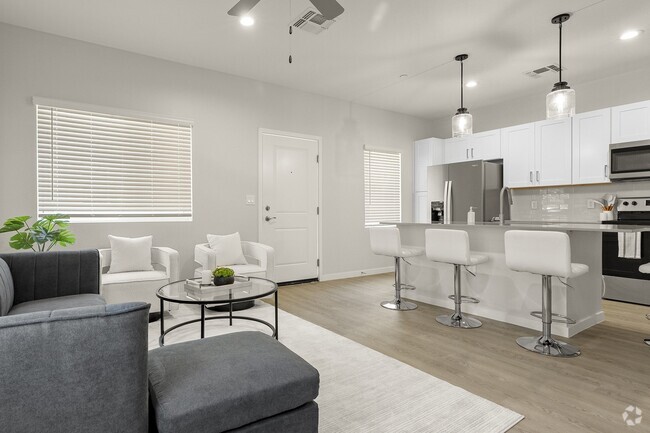
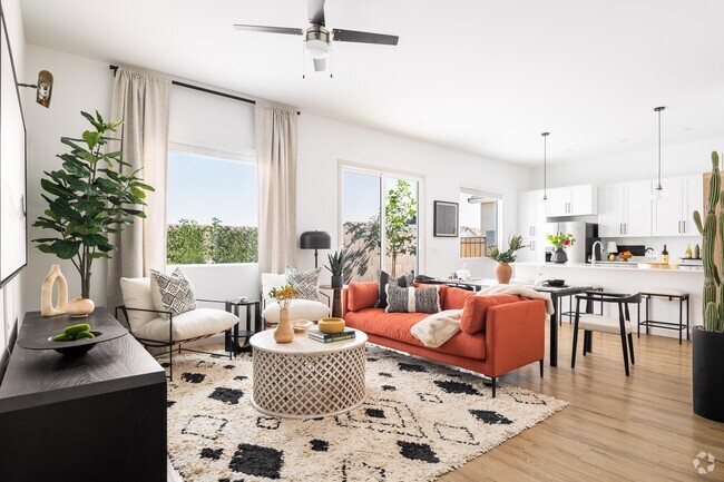
You May Also Like
Similar Rentals Nearby


What Are Walk Score®, Transit Score®, and Bike Score® Ratings?
Walk Score® measures the walkability of any address. Transit Score® measures access to public transit. Bike Score® measures the bikeability of any address.
What is a Sound Score Rating?
A Sound Score Rating aggregates noise caused by vehicle traffic, airplane traffic and local sources