
$1,700 / Month
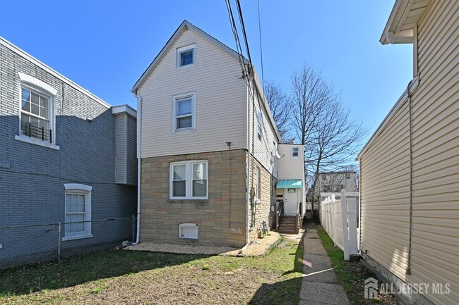
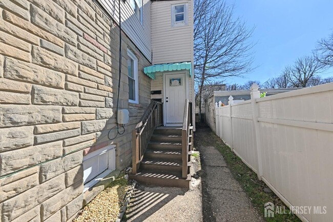
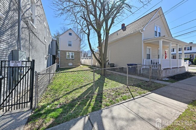
652 Penn St
Perth Amboy, NJ 08861
Today
Favorites
609-459-5100
-
Bedrooms
1
-
Bathrooms
1
-
Square Feet
650 sq ft
-
Available
Available Now
Highlights
- Main Floor Primary Bedroom
- Living Room
- Baseboard Heating
- 1-Story Property
652 Penn St

Favorites
About This Home
12 Month Lease
,
Available Now
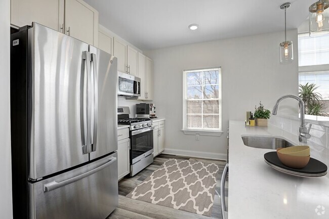
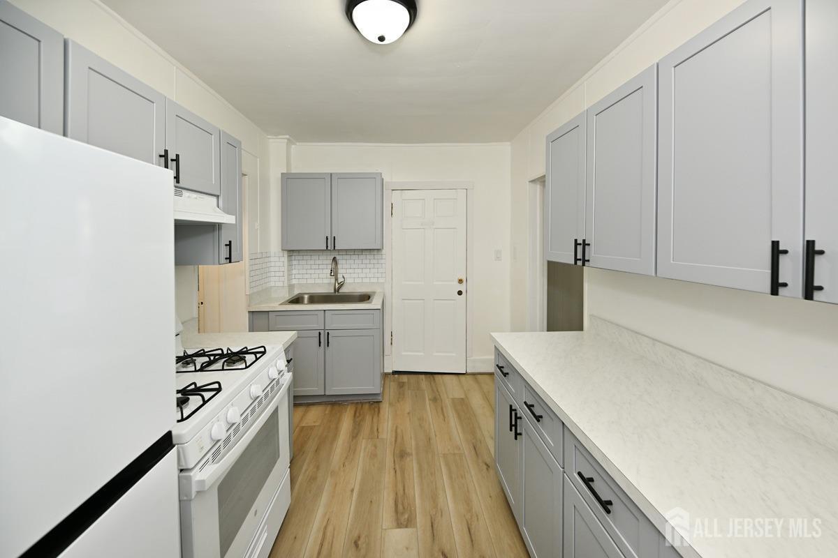
A 1-bedroom,1-bathroom first-floor apartment featuring brand-new flooring,an updated kitchen with modern appliances,and newly installed windows for ample natural light. Conveniently located near public transportation and shopping,making commuting and errands a breeze. A perfect blend of comfort and accessibility! Must fill out credit application.
652 Penn St is an apartment community located in Middlesex County and the 08861 ZIP Code.
* Price shown is base rent and may not include non-optional fees and utilities.
Price, availability, fees, and any applicable rent special are subject to change without notice.
* Square footage definitions vary. Displayed square footage is approximate.
Home Details
Year Built
Built in 1929
Bedrooms and Bathrooms
1 Primary Bedroom on Main
Bathtub and Shower Combination in Primary Bathroom
1 Full Bathroom
Home Design
Apartment
Garden Apartment
Interior Spaces
Living Room
Laminate Flooring
650 Sq Ft Home
1-Story Property
Blinds
Kitchen
Gas Oven or Range
Stove
Recirculated Exhaust Fan
Listing and Financial Details
12 Month Lease Term
Tenant pays for repairs, all utilities, electricity, gas, snow removal, hot water, trash collection, water
Lot Details
Lot Dimensions are 25.00 x 100.00
Parking
On-Street Parking
Open Parking
Utilities
Baseboard Heating
Gas Water Heater
No Cooling
Cable TV Available
Community Details
Overview
Association fees include sewer
Pet Policy
No Pets Allowed
Fees and Policies
The fees below are based on community-supplied data and may exclude additional fees and utilities.
- Parking
-
Street--
Details
Lease Options
-
12 Months
Contact
- Listed by DEBORAH A. TAVARES | Keller Williams Premier
- Phone Number
- Contact
-
Source
 CENTRAL JERSEY MULTIPLE LISTING SYSTEM, INC
The CENTRAL JERSEY MULTIPLE LISTING SYSTEM, INC does not warrant the accuracy, quality, reliability, suitability, completeness, usefulness or effectiveness of any information provided. The information being provided is for consumers' personal, non-commercial use and may not be used for any purpose other than to identify properties the consumer may be interested in purchasing or renting. Copyright 2025, CENTRAL JERSEY MULTIPLE LISTING SYSTEM, INC. All rights reserved. “The CENTRAL JERSEY MULTIPLE LISTING SYSTEM, INC retains all rights, title and interest in and to its trademarks, service marks and copyrighted material.
Location
Get Directions
Amenities
- Kitchen
- Oven
- Range
- Refrigerator
- Vinyl Flooring
Education
| Colleges & Universities | Distance | ||
|---|---|---|---|
| Colleges & Universities | Distance | ||
| Drive: | 15 min | 7.7 mi | |
| Drive: | 22 min | 12.1 mi | |
| Drive: | 22 min | 12.3 mi | |
| Drive: | 21 min | 13.7 mi |
652 Penn St is within 15 minutes or 7.7 miles from Middlesex Co. Coll., Edison. It is also near Rutgers University, Livingston and Coll. of Staten Island, CUNY.
Transportation options available in Perth Amboy include 8Th Street Light Rail Station, located 15.1 miles from 652 Penn St. 652 Penn St is near Newark Liberty International, located 19.4 miles or 30 minutes away, and John F Kennedy International, located 38.1 miles or 57 minutes away.
| Transit / Subway | Distance | ||
|---|---|---|---|
| Transit / Subway | Distance | ||
| Drive: | 25 min | 15.1 mi | |
|
|
Drive: | 27 min | 16.3 mi |
|
|
Drive: | 28 min | 17.1 mi |
|
|
Drive: | 31 min | 19.0 mi |
|
|
Drive: | 28 min | 20.7 mi |
| Commuter Rail | Distance | ||
|---|---|---|---|
| Commuter Rail | Distance | ||
|
|
Walk: | 20 min | 1.1 mi |
|
|
Drive: | 7 min | 3.3 mi |
|
|
Drive: | 7 min | 3.8 mi |
| Drive: | 7 min | 4.0 mi | |
|
|
Drive: | 9 min | 4.6 mi |
| Airports | Distance | ||
|---|---|---|---|
| Airports | Distance | ||
|
Newark Liberty International
|
Drive: | 30 min | 19.4 mi |
|
John F Kennedy International
|
Drive: | 57 min | 38.1 mi |
Time and distance from 652 Penn St.
| Shopping Centers | Distance | ||
|---|---|---|---|
| Shopping Centers | Distance | ||
| Drive: | 4 min | 1.4 mi | |
| Drive: | 5 min | 2.1 mi | |
| Drive: | 6 min | 3.5 mi |
652 Penn St has 3 shopping centers within 3.5 miles, which is about a 6-minute drive. The miles and minutes will be for the farthest away property.
| Parks and Recreation | Distance | ||
|---|---|---|---|
| Parks and Recreation | Distance | ||
|
Alvin P. Williams Memorial Park
|
Walk: | 14 min | 0.8 mi |
|
William Warren Park
|
Drive: | 5 min | 2.1 mi |
|
Fords Park
|
Drive: | 6 min | 2.5 mi |
|
Clay Pit Ponds State Park Preserve
|
Drive: | 10 min | 4.9 mi |
|
Conference House Park
|
Drive: | 11 min | 5.4 mi |
652 Penn St has 5 parks within 5.4 miles, including Alvin P. Williams Memorial Park, William Warren Park, and Fords Park.
| Hospitals | Distance | ||
|---|---|---|---|
| Hospitals | Distance | ||
| Walk: | 15 min | 0.8 mi | |
| Drive: | 13 min | 7.1 mi | |
| Drive: | 16 min | 8.1 mi |
652 Penn St has 3 hospitals within 8.1 miles, the nearest is Raritan Bay Medical Center Perth Amboy Division which is 0.8 mile away and a 15 minute walk.
| Military Bases | Distance | ||
|---|---|---|---|
| Military Bases | Distance | ||
| Drive: | 24 min | 12.3 mi | |
| Drive: | 22 min | 12.7 mi |
652 Penn St is 12.3 miles from Tamdques Reservation, and is convenient to other military bases, including Ash Brook Reservation.
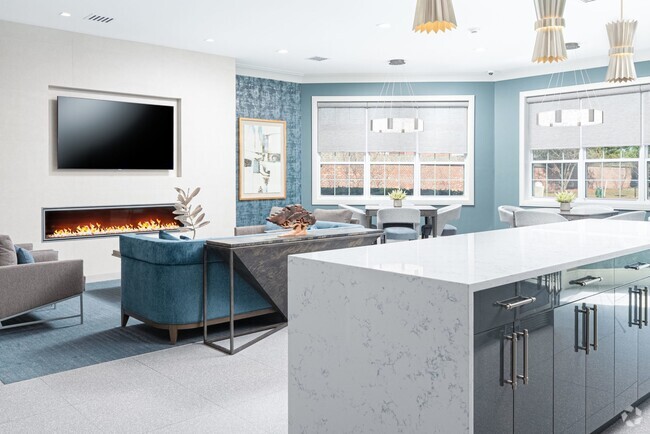
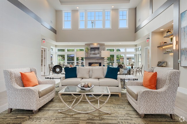
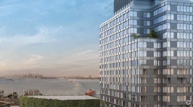
You May Also Like
Similar Rentals Nearby


What Are Walk Score®, Transit Score®, and Bike Score® Ratings?
Walk Score® measures the walkability of any address. Transit Score® measures access to public transit. Bike Score® measures the bikeability of any address.
What is a Sound Score Rating?
A Sound Score Rating aggregates noise caused by vehicle traffic, airplane traffic and local sources
652 Penn St
Perth Amboy, NJ 08861