-
Monthly Rent
$895
-
Bedrooms
1 bd
-
Bathrooms
1 ba
-
Square Feet
500 sq ft
Details

About This Property
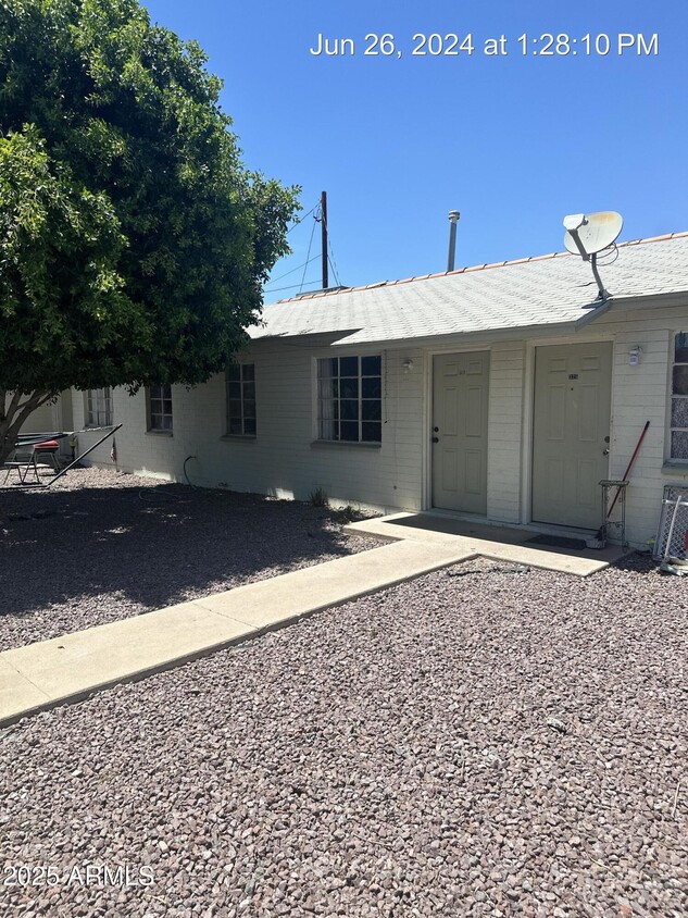
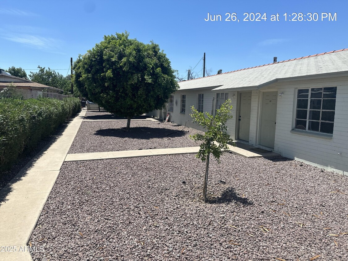
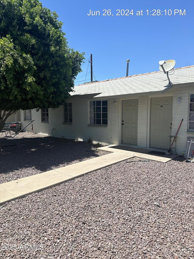
This single level 1 bedroom 1 bath unit has ALL UTILITIES INCLUDED in the rent and is tile throughout! Updated kitchen with plenty of counter space. Property is located very close to bus lines,shopping and downtown Glendale.
6527 N 59th Dr is an apartment community located in Maricopa County and the 85301 ZIP Code.
 This Property
 Available Property
Westside is a neighborhood within Glendale, which was voted “Arizona’s Antique Capital” by Sunset magazine and USA Today. Many higher education schools are located near Westside, including Glendale Community College, Carrington College, and Arizona State University West campus. You’ll discover numerous pocket parks in the area, plus larger ones like Glendale Heroes Regional Park and Grand Canal Linear Park. Shopping and dining destinations are plentiful, especially at Arrowhead Towne Center Mall.
Learn more about living in Westside| Colleges & Universities | Distance | ||
|---|---|---|---|
| Colleges & Universities | Distance | ||
| Drive: | 8 min | 3.3 mi | |
| Drive: | 11 min | 4.7 mi | |
| Drive: | 15 min | 7.3 mi | |
| Drive: | 15 min | 7.3 mi |
Transportation options available in Glendale include Glendale/19Th Ave, located 5.6 miles from 6527 N 59th Dr Unit 327. 6527 N 59th Dr Unit 327 is near Phoenix Sky Harbor International, located 15.3 miles or 26 minutes away, and Phoenix-Mesa Gateway, located 42.1 miles or 59 minutes away.
| Transit / Subway | Distance | ||
|---|---|---|---|
| Transit / Subway | Distance | ||
|
|
Drive: | 12 min | 5.6 mi |
|
|
Drive: | 12 min | 5.9 mi |
|
|
Drive: | 14 min | 6.4 mi |
|
|
Drive: | 13 min | 6.6 mi |
|
|
Drive: | 16 min | 7.7 mi |
| Commuter Rail | Distance | ||
|---|---|---|---|
| Commuter Rail | Distance | ||
|
|
Drive: | 58 min | 43.2 mi |
| Airports | Distance | ||
|---|---|---|---|
| Airports | Distance | ||
|
Phoenix Sky Harbor International
|
Drive: | 26 min | 15.3 mi |
|
Phoenix-Mesa Gateway
|
Drive: | 59 min | 42.1 mi |
Time and distance from 6527 N 59th Dr Unit 327.
| Shopping Centers | Distance | ||
|---|---|---|---|
| Shopping Centers | Distance | ||
| Walk: | 12 min | 0.7 mi | |
| Walk: | 15 min | 0.8 mi | |
| Walk: | 18 min | 1.0 mi |
| Parks and Recreation | Distance | ||
|---|---|---|---|
| Parks and Recreation | Distance | ||
|
Maryvale Park
|
Drive: | 7 min | 3.5 mi |
|
El Oso Park
|
Drive: | 11 min | 5.1 mi |
|
Steele Indian School Park
|
Drive: | 17 min | 8.3 mi |
|
Acoma Park
|
Drive: | 17 min | 8.6 mi |
|
North Mountain Park
|
Drive: | 21 min | 10.5 mi |
| Hospitals | Distance | ||
|---|---|---|---|
| Hospitals | Distance | ||
| Drive: | 11 min | 5.5 mi | |
| Drive: | 12 min | 5.9 mi | |
| Drive: | 12 min | 6.2 mi |
| Military Bases | Distance | ||
|---|---|---|---|
| Military Bases | Distance | ||
| Drive: | 19 min | 9.7 mi | |
| Drive: | 27 min | 15.2 mi | |
| Drive: | 98 min | 71.9 mi |
You May Also Like
Similar Rentals Nearby
What Are Walk Score®, Transit Score®, and Bike Score® Ratings?
Walk Score® measures the walkability of any address. Transit Score® measures access to public transit. Bike Score® measures the bikeability of any address.
What is a Sound Score Rating?
A Sound Score Rating aggregates noise caused by vehicle traffic, airplane traffic and local sources
