1759-1766 66th St Unit 1759
Brooklyn, NY 11204
-
Bedrooms
3
-
Bathrooms
1
-
Square Feet
--
-
Available
Available Now
About This Home
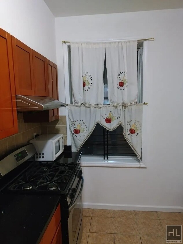
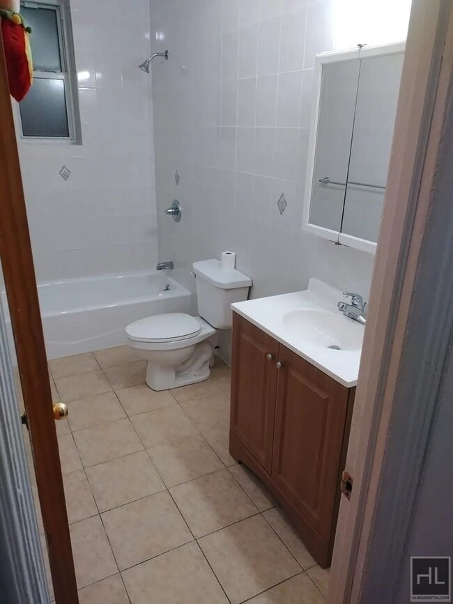
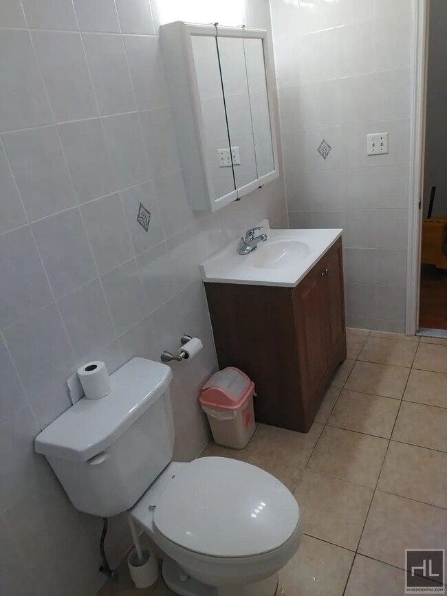
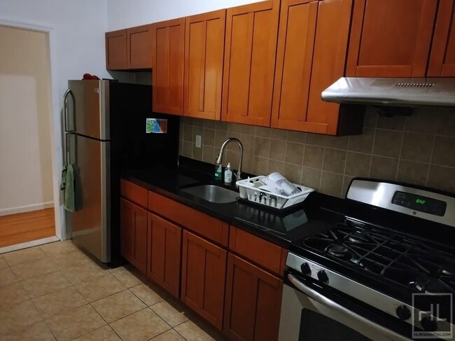
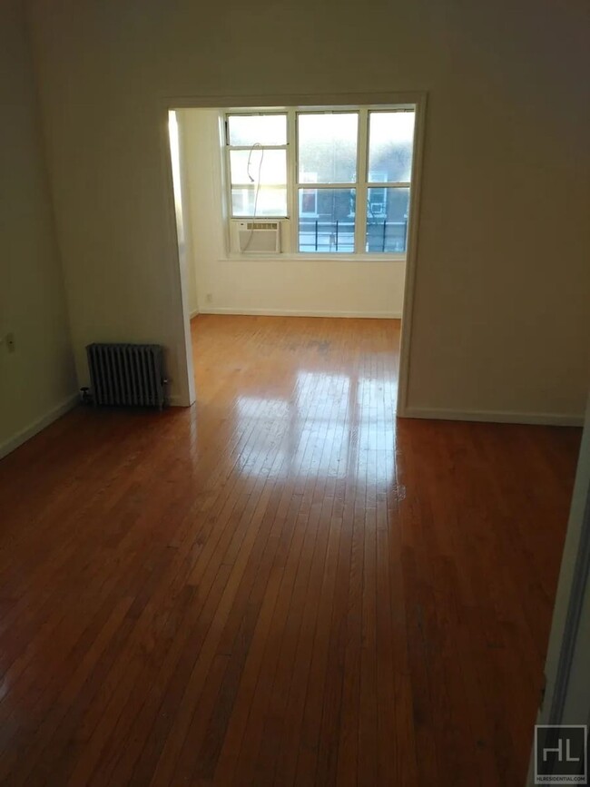
Description coming soon, please contact your Highline Residential agent for more information ===Ref:2239782===
66 STREET is an apartment community located in Kings County and the 11204 ZIP Code.
Contact
- Phone Number (646) 718-5508
- Website View Property Website
- Contact
-
Source

Bensonhurst may only stretch 25 blocks, but it’s filled with activity, diversity, and a lively community. This neighborhood is known for being home at one point or another to an array of celebrities, including Larry King, the Three Stooges, and Joey Fatone, and it’s been used as the setting for several movies and television shows. Bensonhurst is as unique as it is dynamic. Located in Southwest Brooklyn, Bensonhurst sits at the southern tip of the borough, just four blocks from the bay. Apartments in Bensonhurst are highly sought-after due to reasonable rents and larger floor plans. The neighborhood also offers good schools, easy access to Manhattan via the D-train or N-train, and a variety of historic sites.
Learn more about living in Bensonhurst| Colleges & Universities | Distance | ||
|---|---|---|---|
| Colleges & Universities | Distance | ||
| Drive: | 9 min | 3.2 mi | |
| Drive: | 12 min | 4.8 mi | |
| Drive: | 13 min | 5.6 mi | |
| Drive: | 15 min | 6.6 mi |
Transportation options available in Brooklyn include 18 Avenue (N Line), located 0.3 mile from 66 STREET. 66 STREET is near John F Kennedy International, located 15.3 miles or 27 minutes away, and Newark Liberty International, located 20.6 miles or 35 minutes away.
| Transit / Subway | Distance | ||
|---|---|---|---|
| Transit / Subway | Distance | ||
|
|
Walk: | 5 min | 0.3 mi |
|
|
Walk: | 9 min | 0.5 mi |
|
|
Walk: | 10 min | 0.5 mi |
|
|
Walk: | 12 min | 0.6 mi |
|
|
Walk: | 13 min | 0.7 mi |
| Commuter Rail | Distance | ||
|---|---|---|---|
| Commuter Rail | Distance | ||
|
|
Drive: | 14 min | 6.1 mi |
|
|
Drive: | 14 min | 7.0 mi |
|
|
Drive: | 16 min | 7.6 mi |
|
|
Drive: | 18 min | 8.2 mi |
|
|
Drive: | 21 min | 8.8 mi |
| Airports | Distance | ||
|---|---|---|---|
| Airports | Distance | ||
|
John F Kennedy International
|
Drive: | 27 min | 15.3 mi |
|
Newark Liberty International
|
Drive: | 35 min | 20.6 mi |
Time and distance from 66 STREET.
| Shopping Centers | Distance | ||
|---|---|---|---|
| Shopping Centers | Distance | ||
| Walk: | 18 min | 0.9 mi | |
| Drive: | 3 min | 1.5 mi | |
| Drive: | 4 min | 1.6 mi |
| Parks and Recreation | Distance | ||
|---|---|---|---|
| Parks and Recreation | Distance | ||
|
Dyker Beach Park
|
Drive: | 6 min | 2.6 mi |
|
Sunset Park
|
Drive: | 7 min | 3.2 mi |
|
Owl's Head Park
|
Drive: | 8 min | 3.3 mi |
|
Calvert Vaux Park
|
Drive: | 8 min | 3.6 mi |
|
Narrows Botanical Gardens
|
Drive: | 10 min | 5.5 mi |
| Hospitals | Distance | ||
|---|---|---|---|
| Hospitals | Distance | ||
| Drive: | 5 min | 2.2 mi | |
| Drive: | 7 min | 3.0 mi | |
| Drive: | 9 min | 3.9 mi |
| Military Bases | Distance | ||
|---|---|---|---|
| Military Bases | Distance | ||
| Drive: | 9 min | 3.2 mi | |
| Drive: | 17 min | 7.8 mi |
You May Also Like
What Are Walk Score®, Transit Score®, and Bike Score® Ratings?
Walk Score® measures the walkability of any address. Transit Score® measures access to public transit. Bike Score® measures the bikeability of any address.
What is a Sound Score Rating?
A Sound Score Rating aggregates noise caused by vehicle traffic, airplane traffic and local sources

1759-1766 66th St
Brooklyn, NY 11204