1 / 11

Bedrooms
1
Bathrooms
1
Square Feet
--
Available
Available Now

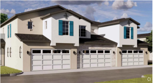
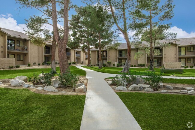
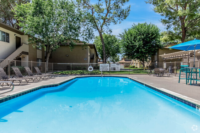
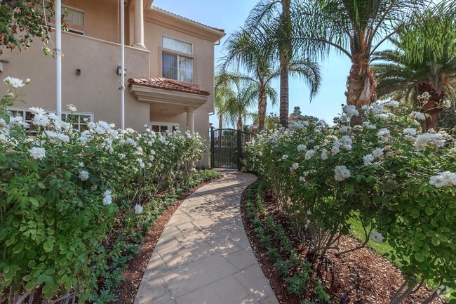
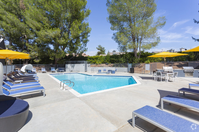
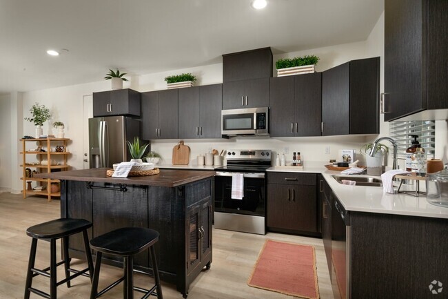
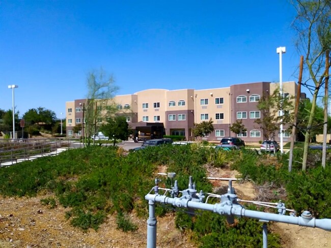
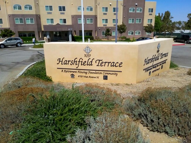
6709 Columbia Way is an apartment community located in Los Angeles County and the 93536 ZIP Code.
The Antelope Valley region sits in the northernmost stretches of Los Angeles County. Antelope Valley also constitutes the western portion of the Mojave Desert, located between the Tehachapi, Sierra Pelona, and San Gabriel Mountains, which all lend stunning mountain vistas to the rentals in the region.
Antelope Valley’s largest cities include Lancaster and Palmdale, in addition to a slew of smaller cities and towns that each boast their own unique identity and sense of character. The region’s more affordable cost of living draws plenty of Los Angeles area commuters who don’t mind a longer commute time.
The rental options are just as diverse as the region itself, with an array of apartments, condos, townhomes, and houses available for rent throughout Antelope Valley. Popular spots for outdoor recreation include Angeles National Forest and Castaic Lake State Recreation Area, as well as Greater Los Angeles’ renowned beaches, which are about a two-hour drive away.
Learn more about living in Antelope Valley| Colleges & Universities | Distance | ||
|---|---|---|---|
| Colleges & Universities | Distance | ||
| Drive: | 12 min | 6.1 mi | |
| Drive: | 54 min | 32.6 mi | |
| Drive: | 62 min | 51.4 mi | |
| Drive: | 72 min | 58.7 mi |
Transportation options available in Quartz Hill include Memorial Park Station, located 55.5 miles from 6709 Columbia Way. 6709 Columbia Way is near Bob Hope, located 58.3 miles or 71 minutes away.
| Transit / Subway | Distance | ||
|---|---|---|---|
| Transit / Subway | Distance | ||
|
|
Drive: | 85 min | 55.5 mi |
|
|
Drive: | 84 min | 56.2 mi |
|
|
Drive: | 85 min | 57.2 mi |
|
|
Drive: | 71 min | 59.3 mi |
| Commuter Rail | Distance | ||
|---|---|---|---|
| Commuter Rail | Distance | ||
|
|
Drive: | 17 min | 10.2 mi |
|
|
Drive: | 18 min | 10.5 mi |
|
|
Drive: | 25 min | 16.9 mi |
|
|
Drive: | 50 min | 31.0 mi |
|
|
Drive: | 49 min | 39.7 mi |
| Airports | Distance | ||
|---|---|---|---|
| Airports | Distance | ||
|
Bob Hope
|
Drive: | 71 min | 58.3 mi |
Time and distance from 6709 Columbia Way.
| Shopping Centers | Distance | ||
|---|---|---|---|
| Shopping Centers | Distance | ||
| Drive: | 4 min | 1.9 mi | |
| Drive: | 4 min | 1.9 mi | |
| Drive: | 4 min | 1.9 mi |
| Hospitals | Distance | ||
|---|---|---|---|
| Hospitals | Distance | ||
| Drive: | 14 min | 8.3 mi | |
| Drive: | 15 min | 9.3 mi |
| Military Bases | Distance | ||
|---|---|---|---|
| Military Bases | Distance | ||
| Drive: | 56 min | 27.2 mi | |
| Drive: | 52 min | 37.3 mi | |
| Drive: | 164 min | 61.6 mi |
What Are Walk Score®, Transit Score®, and Bike Score® Ratings?
Walk Score® measures the walkability of any address. Transit Score® measures access to public transit. Bike Score® measures the bikeability of any address.
What is a Sound Score Rating?
A Sound Score Rating aggregates noise caused by vehicle traffic, airplane traffic and local sources
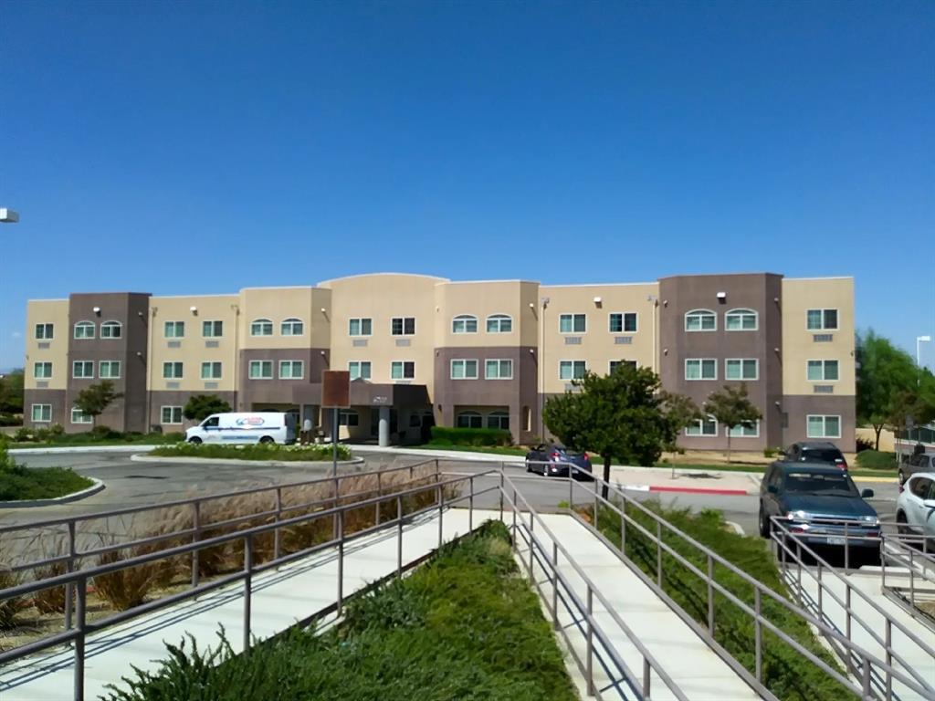
6709 Columbia Way
Quartz Hill, CA 93536