$2,680 / Month
6712 N Muscatel Ave
San Gabriel, CA 91775
2 Weeks Ago
Favorites
6712 N Muscatel Ave

Favorites
Check Back Soon for Upcoming Availability
| Beds | Baths | Average SF |
|---|---|---|
| 2 Bedrooms 2 Bedrooms 2 Br | 1 Bath 1 Bath 1 Ba | 1,103 SF |
About This Property
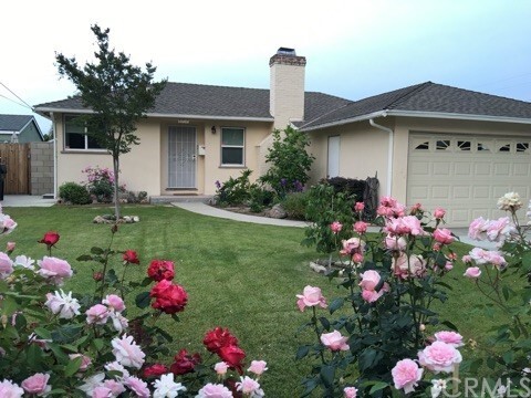
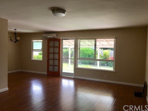
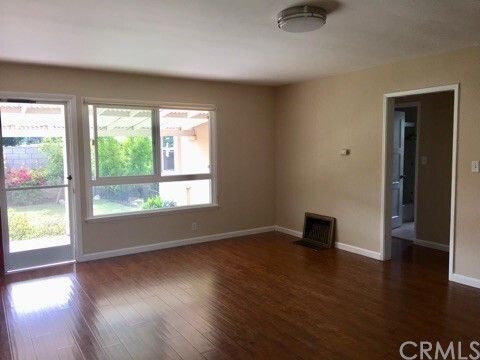
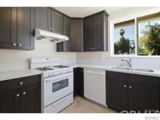
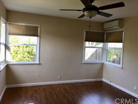
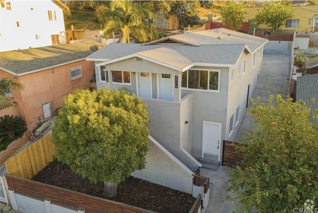
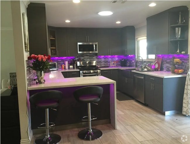
Lovely house in N San Gabriel. Temple City School District, within walking distance to Emperor Elementary School. Convenient and ideal location - close to supermarket, banks and restaurants (Starbucks, McDonald's, 7-11 all a short walk away). Move-in condition. Nice open floor plan, bright and airy. Upgraded kitchen and bathroom with newer cabinets and granite countertops. Bathroom includes one bathtub and one standing shower. Spacious living room with elegant fireplace. Wood flooring throughout. Laundry room. Beautiful front and back yards filled with flowers and fruit trees. 2 car garage. 1 pet allowed. Rent includes gardener fee.
6712 N Muscatel Ave is a house located in Los Angeles County and the 91775 ZIP Code. This area is served by the Temple City Unified attendance zone.
House Features
Air Conditioning
Washer/Dryer Hookup
Fireplace
Heating
- Washer/Dryer Hookup
- Air Conditioning
- Heating
- Fireplace
- Dining Room
Fees and Policies
The fees below are based on community-supplied data and may exclude additional fees and utilities.
- Parking
-
Garage--
-
Other--
Details
Lease Options
-
12 Months
Location
Get Directions
Situated about ten miles northeast of Los Angeles, San Gabriel is a scenic suburb often regarded as the “Birthplace of the Los Angeles Region.” The city boasts a rich history dating back to the 1700s, when the Mission San Gabriel (known as the “Pride of the California Missions”) was founded.
San Gabriel’s historic roots are on display to this day, with the vibrant Mission District serving as the city’s hub of culture, art, and history. City Hall, the San Gabriel Mission Playhouse, and numerous well-maintained Spanish Colonial Revival style buildings are the cornerstones of the District. A host of diverse eateries, cafes, offices, shops, and museums—including the famed San Gabriel Mission—are also found in this vibrant downtown area.
Area residents enjoy a bevy of outdoor activities at Vincent Lugo Park, Smith Park, and San Gabriel Country Club.
Learn more about living in San Gabriel
Amenities
- Washer/Dryer Hookup
- Air Conditioning
- Heating
- Fireplace
- Dining Room
Education
| Colleges & Universities | Distance | ||
|---|---|---|---|
| Colleges & Universities | Distance | ||
| Drive: | 9 min | 3.7 mi | |
| Drive: | 10 min | 4.4 mi | |
| Drive: | 13 min | 5.8 mi | |
| Drive: | 11 min | 6.3 mi |
6712 N Muscatel Ave is within 9 minutes or 3.7 miles from Caltech. It is also near Pasadena City College and Art Center College of Design.
Schools


Public Elementary School
Grades K-6
382 Students
Nearby
Public Elementary School
Grades K-6
608 Students
Attendance Zone
Public Middle School
Grades 7-8
823 Students
Attendance Zone
Public High School
Grades 9-12
1,803 Students
Attendance Zone
Private Elementary & Middle School
Grades K-8
178 Students
Nearby
Private Elementary, Middle & High School
Grades K-12
Nearby
Private Elementary & Middle School
Grades K-8
223 Students
Nearby
Private Elementary School
Grades K
72 Students
Nearby
School data provided by
 The GreatSchools Rating helps parents compare schools within a state based on a variety of school quality indicators and provides a helpful picture of how effectively each school serves all of its students. Ratings are on a scale of 1 (below average) to 10 (above average) and can include test scores, college readiness, academic progress, advanced courses, equity, discipline and attendance data. We also advise parents to visit schools, consider other information on school performance and programs, and consider family needs as part of the school selection process.
View GreatSchools Rating Methodology
View GreatSchools Rating Methodology
Transportation options available in San Gabriel include Sierra Madre Villa Station, located 3.2 miles from 6712 N Muscatel Ave. 6712 N Muscatel Ave is near Bob Hope, located 22.9 miles or 32 minutes away, and Long Beach (Daugherty Field), located 28.2 miles or 42 minutes away.
| Transit / Subway | Distance | ||
|---|---|---|---|
| Transit / Subway | Distance | ||
|
|
Drive: | 6 min | 3.2 mi |
| Drive: | 8 min | 3.9 mi | |
|
|
Drive: | 13 min | 5.2 mi |
|
|
Drive: | 10 min | 5.6 mi |
|
|
Drive: | 12 min | 7.4 mi |
| Commuter Rail | Distance | ||
|---|---|---|---|
| Commuter Rail | Distance | ||
|
|
Drive: | 11 min | 5.5 mi |
|
|
Drive: | 19 min | 9.4 mi |
|
|
Drive: | 21 min | 10.5 mi |
|
|
Drive: | 25 min | 15.8 mi |
| Drive: | 23 min | 17.1 mi |
| Airports | Distance | ||
|---|---|---|---|
| Airports | Distance | ||
|
Bob Hope
|
Drive: | 32 min | 22.9 mi |
|
Long Beach (Daugherty Field)
|
Drive: | 42 min | 28.2 mi |
Time and distance from 6712 N Muscatel Ave.
| Shopping Centers | Distance | ||
|---|---|---|---|
| Shopping Centers | Distance | ||
| Walk: | 10 min | 0.5 mi | |
| Walk: | 15 min | 0.8 mi | |
| Walk: | 21 min | 1.1 mi |
6712 N Muscatel Ave has 3 shopping centers within 1.1 miles, which is about a 21-minute walk. The miles and minutes will be for the farthest away property.
| Parks and Recreation | Distance | ||
|---|---|---|---|
| Parks and Recreation | Distance | ||
|
Los Angeles County Arboretum
|
Drive: | 6 min | 3.0 mi |
|
Huntington Botanical Gardens
|
Drive: | 9 min | 3.2 mi |
|
Chilao Visitor Center
|
Drive: | 7 min | 4.7 mi |
|
Grassy Hollow Visitor Center
|
Drive: | 7 min | 4.7 mi |
|
Eaton Canyon Nature Center
|
Drive: | 10 min | 5.1 mi |
6712 N Muscatel Ave has 5 parks within 5.1 miles, including Huntington Botanical Gardens, Los Angeles County Arboretum, and Chilao Visitor Center.
| Hospitals | Distance | ||
|---|---|---|---|
| Hospitals | Distance | ||
| Drive: | 6 min | 2.4 mi | |
| Drive: | 6 min | 2.5 mi | |
| Drive: | 5 min | 2.5 mi |
6712 N Muscatel Ave has 3 hospitals within 2.5 miles, the nearest is BHC Alhambra Hospital which is 2.4 miles away and a 6 minute drive.
| Military Bases | Distance | ||
|---|---|---|---|
| Military Bases | Distance | ||
| Drive: | 45 min | 29.2 mi | |
| Drive: | 42 min | 30.8 mi |
6712 N Muscatel Ave is 29.2 miles from Los Alamitos Army Airfield, and is convenient to other military bases, including Los Angeles Air Force Base.
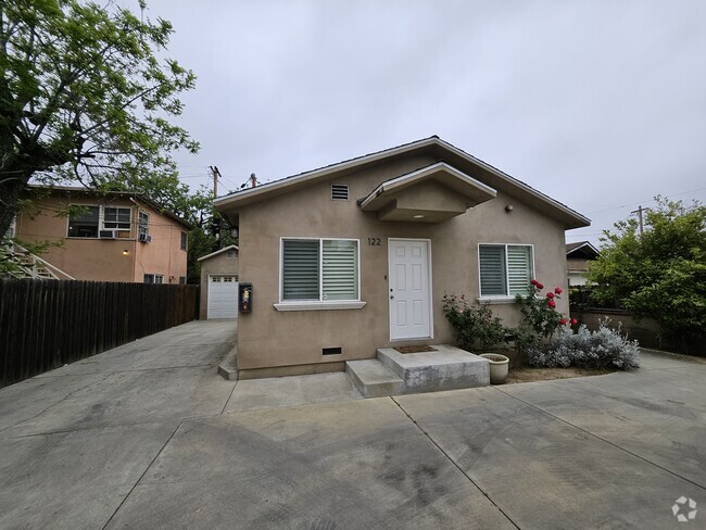
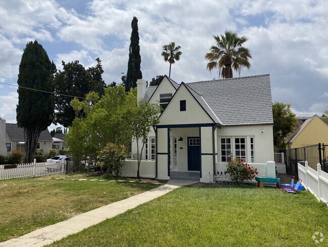
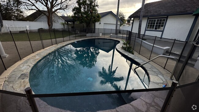
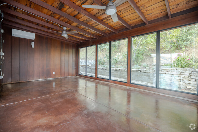
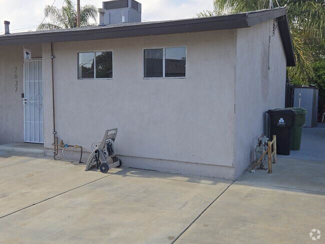
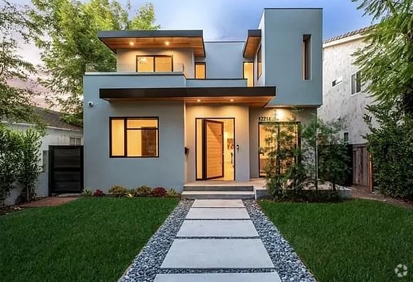
You May Also Like
Similar Rentals Nearby


What Are Walk Score®, Transit Score®, and Bike Score® Ratings?
Walk Score® measures the walkability of any address. Transit Score® measures access to public transit. Bike Score® measures the bikeability of any address.
What is a Sound Score Rating?
A Sound Score Rating aggregates noise caused by vehicle traffic, airplane traffic and local sources

6712 N Muscatel Ave
San Gabriel, CA 91775