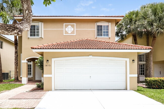
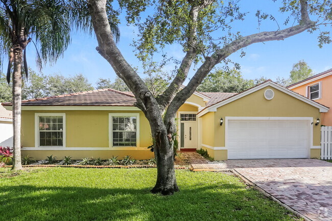
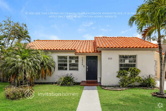
6732 SW 15th St
Miami, FL 33144
-
Bedrooms
4
-
Bathrooms
2
-
Square Feet
1,540 sq ft
-
Available
Available Apr 22
Highlights
- Tile Flooring
- Central Air
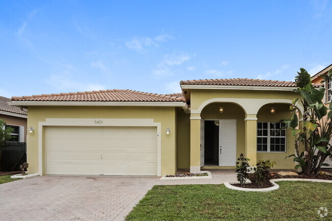
- 2 Car Garage

About This Home
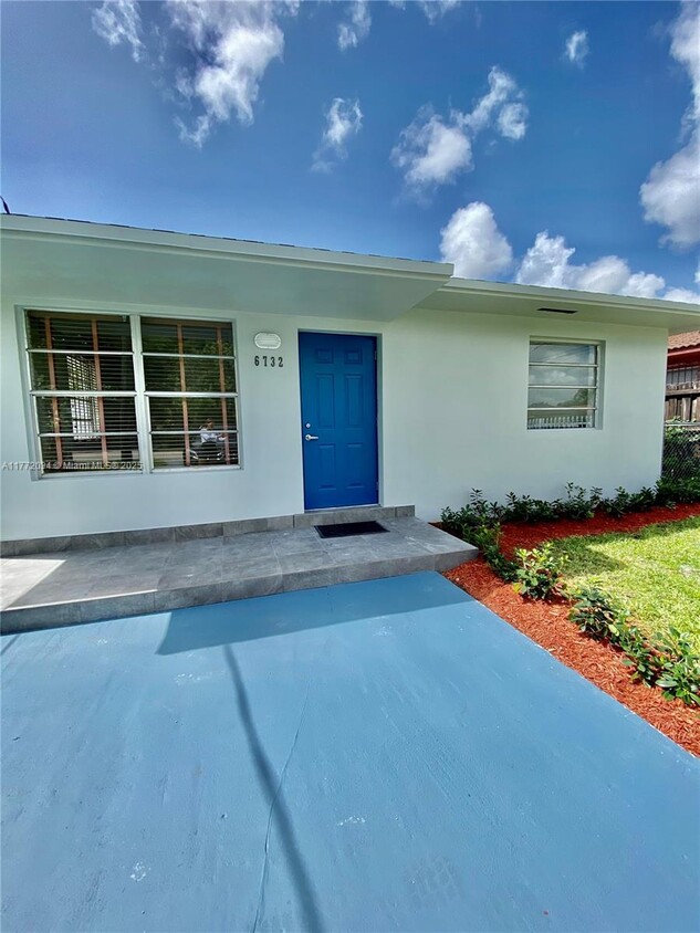
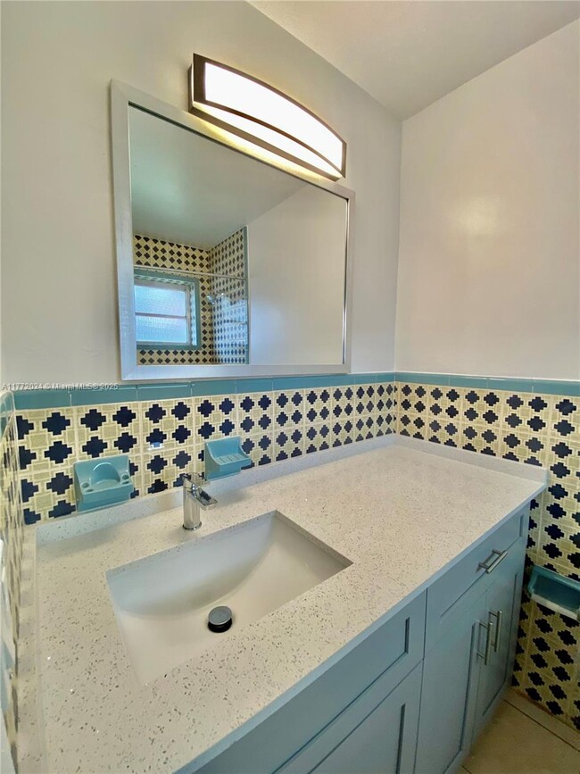
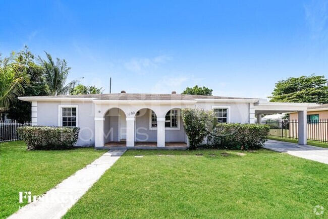
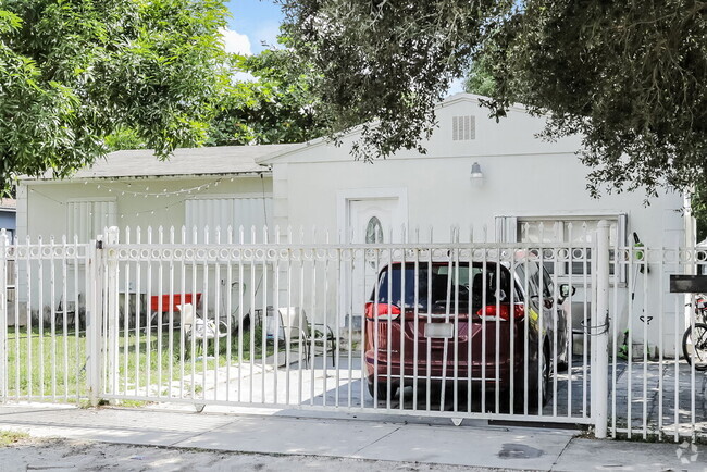
Charming 4 bedroom and 2 bathroom home. It was recently updated, located near West Miami in a very family friendly neighborhood. Close proximity to the airport, coral gables among others. This home is ready for you to call home!
6732 SW 15th St is a house located in Miami/Dade County and the 33144 ZIP Code. This area is served by the Miami-Dade County Public Schools attendance zone.
Home Details
Home Type
Year Built
Bedrooms and Bathrooms
Home Design
Interior Spaces
Kitchen
Laundry
Listing and Financial Details
Lot Details
Parking
Utilities
Community Details
Overview
Pet Policy
Fees and Policies
The fees below are based on community-supplied data and may exclude additional fees and utilities.
- Dogs Allowed
-
Fees not specified
- Cats Allowed
-
Fees not specified
Contact
- Listed by Andrea Viana | Compass Florida, LLC
- Phone Number
- Contact
-
Source
 MIAMI Association of REALTORS®
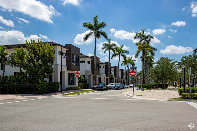
As its name implies, Coral Terrace West consists of the western portion of Coral Terrace, a suburban community located about nine miles away from Downtown Miami. The neighborhood is also convenient to Miami International Airport, Florida International University, and the University of Miami, so it’s a great option for renters seeking a central location. Close proximity to the Palmetto Expressway and Highway 976 allows for a quick commute into the city, but multiple businesses make their home here so residents can fulfill their needs without going far. Coral Terrace West has palm trees, canals, and several parks, creating a laid-back atmosphere. AD (Doug) Barnes Park dominates the southeastern corner of Coral Terrace West. This 65-acre gem has a pool, a basketball court, a nature walk, and more. The neighborhood a wide range of rentals including colorful ranch-style houses and modern apartments and condos.
Learn more about living in Coral Terrace West| Colleges & Universities | Distance | ||
|---|---|---|---|
| Colleges & Universities | Distance | ||
| Drive: | 8 min | 3.4 mi | |
| Drive: | 11 min | 4.7 mi | |
| Drive: | 12 min | 5.1 mi | |
| Drive: | 13 min | 5.7 mi |
 The GreatSchools Rating helps parents compare schools within a state based on a variety of school quality indicators and provides a helpful picture of how effectively each school serves all of its students. Ratings are on a scale of 1 (below average) to 10 (above average) and can include test scores, college readiness, academic progress, advanced courses, equity, discipline and attendance data. We also advise parents to visit schools, consider other information on school performance and programs, and consider family needs as part of the school selection process.
View GreatSchools Rating Methodology
Transportation options available in Miami include Miami Intl Airport Ground Level, located 6.3 miles from 6732 SW 15th St. 6732 SW 15th St is near Miami International, located 5.2 miles or 13 minutes away, and Fort Lauderdale/Hollywood International, located 30.0 miles or 44 minutes away.
| Transit / Subway | Distance | ||
|---|---|---|---|
| Transit / Subway | Distance | ||
|
|
Drive: | 15 min | 6.3 mi |
|
|
Drive: | 18 min | 7.5 mi |
|
|
Drive: | 19 min | 7.6 mi |
|
|
Drive: | 18 min | 9.0 mi |
|
|
Drive: | 16 min | 9.1 mi |
| Commuter Rail | Distance | ||
|---|---|---|---|
| Commuter Rail | Distance | ||
|
|
Drive: | 10 min | 4.8 mi |
|
|
Drive: | 11 min | 4.9 mi |
|
|
Drive: | 11 min | 5.0 mi |
|
|
Drive: | 12 min | 5.9 mi |
|
|
Drive: | 12 min | 5.9 mi |
| Airports | Distance | ||
|---|---|---|---|
| Airports | Distance | ||
|
Miami International
|
Drive: | 13 min | 5.2 mi |
|
Fort Lauderdale/Hollywood International
|
Drive: | 44 min | 30.0 mi |
Time and distance from 6732 SW 15th St.
| Shopping Centers | Distance | ||
|---|---|---|---|
| Shopping Centers | Distance | ||
| Walk: | 8 min | 0.4 mi | |
| Walk: | 14 min | 0.7 mi | |
| Walk: | 15 min | 0.8 mi |
| Parks and Recreation | Distance | ||
|---|---|---|---|
| Parks and Recreation | Distance | ||
|
Sense of Wonder Nature Center and A.D. Barnes Park
|
Drive: | 5 min | 2.0 mi |
|
Gifford Arboretum
|
Drive: | 8 min | 3.8 mi |
|
The Barnacle Historic State Park
|
Drive: | 12 min | 5.9 mi |
|
The Kampong
|
Drive: | 13 min | 6.1 mi |
|
Miami Science Museum - Closed
|
Drive: | 16 min | 7.8 mi |
| Hospitals | Distance | ||
|---|---|---|---|
| Hospitals | Distance | ||
| Drive: | 3 min | 1.3 mi | |
| Drive: | 3 min | 1.5 mi | |
| Drive: | 9 min | 4.1 mi |
You May Also Like
Similar Rentals Nearby
What Are Walk Score®, Transit Score®, and Bike Score® Ratings?
Walk Score® measures the walkability of any address. Transit Score® measures access to public transit. Bike Score® measures the bikeability of any address.
What is a Sound Score Rating?
A Sound Score Rating aggregates noise caused by vehicle traffic, airplane traffic and local sources
