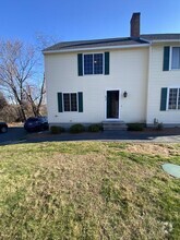
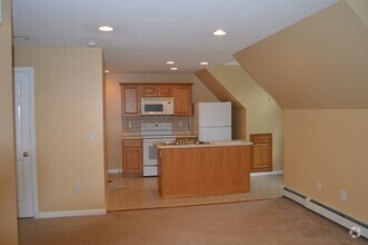
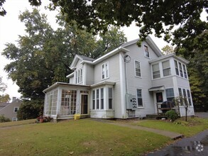
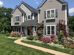
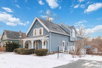
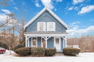
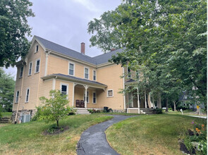
Apartments for Rent in Southborough MA - 252 Rentals
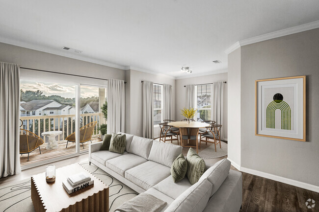
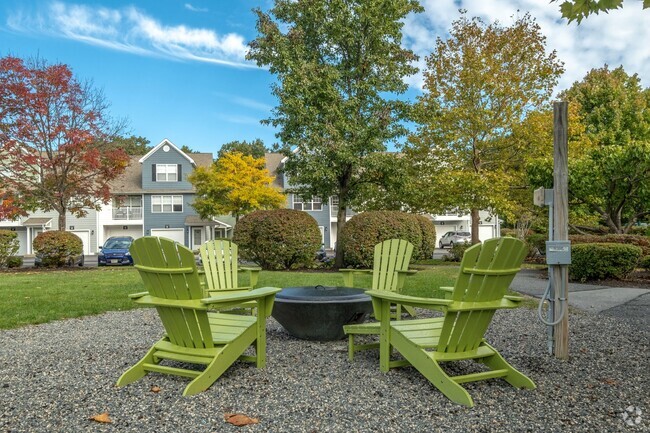
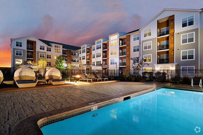
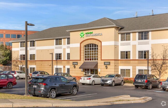


Find the Perfect Southborough, MA Apartment
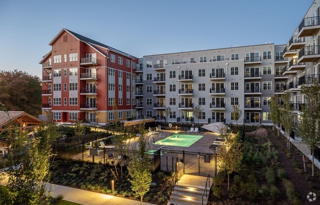
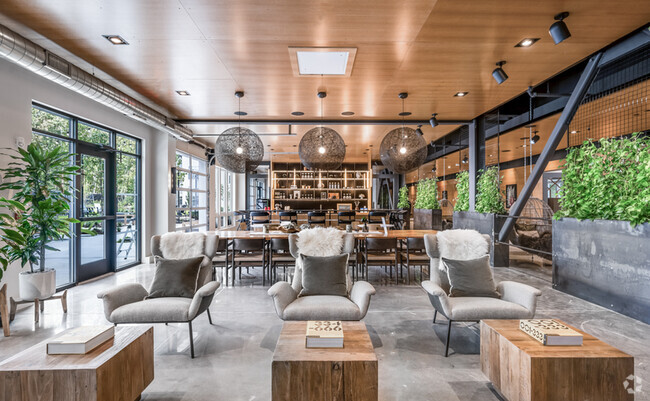
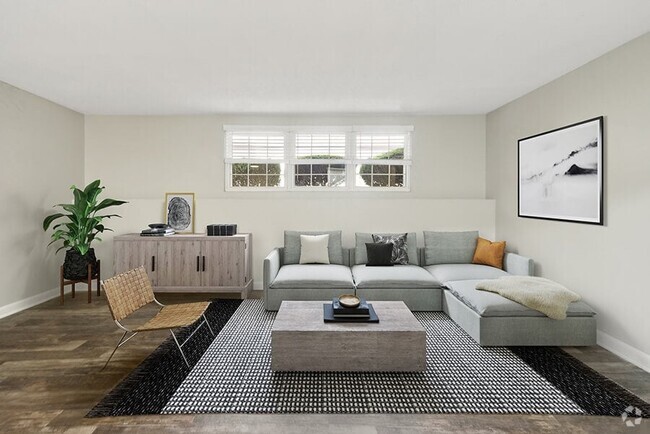
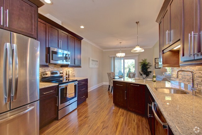
Southborough, MA Apartments for Rent
Southborough, Massachusetts is raved about by its residents for its safe neighborhoods and interesting historical significance. Southborough houses two locations that are named on the National Register of Historic Places: J.D.C. Bradley House and Sudbury Dam Historic District. J.D.C. Bradley House, also known as Oakcrest, is a beautiful historic mansion from the early 1900s, and Sudbury Dam Historic District is on the southeastern end of Sudbury Reservoir.
Highly rated public and private schools are a staple to this family-friendly community. P. Brent Trottier Middle School, Albert S. Woodward School, and Fay School are just a few in the area. Breakneck Hill Conservation Land, a portion of Crane Swamp, and St. Marks Golf Course lie in Southborough. Once you become situated in your new apartment in Southborough, be sure to get a bite to eat at Owen O’Leary’s Irish Pub to meet some of your new neighbors.
Southborough, MA Rental Insights
Average Rent Rates
What is the average rent in Southborough, MA?
The average rent in Southborough is $2,575. When you rent an apartment in Southborough, you can expect to pay as little as $2,585 or as much as $3,304, depending on the location and the size of the apartment.
What is the average rent of a 1 bedroom apartment in Southborough, MA?
The average rent for a one bedroom apartment in Southborough, MA is $2,585 per month.
What is the average rent of a 2 bedroom apartment in Southborough, MA?
The average rent for a two bedroom apartment in Southborough, MA is $3,304 per month.
Education
What colleges and universities are in Southborough, MA?
If you’re a student moving to an apartment in Southborough, you’ll have access to Framingham State College, Tufts University, Grafton, and Stillman College.
Helpful Rental Guides for Southborough, MA


Search Nearby Rentals
Apartment Rentals Near ...
Neighborhood Apartment Rentals
- Route 2 Apartments for Rent
- 495-South Apartments for Rent
- Vickery Hills Apartments for Rent
- Wedgewood Apartments for Rent
- Heritage Estates Apartments for Rent
- Avalon Orchards Apartments for Rent
- Fisher Terrace Apartments for Rent
- The Heights Apartments for Rent
- Route 9 Corridor Apartments for Rent
- Legacy Farms Apartments for Rent