
$875 / Month
6820 Plainfield Rd Unit #1- PLAINFIELD 6820
Silverton, OH 45236
Today
Favorites
513-808-2930
-
Bedrooms
1
-
Bathrooms
1
-
Square Feet
250 sq ft
-
Available
Available May 14
6820 Plainfield Rd Unit #1- PLAINFIELD 6820

Favorites
The city of Silverton offers an array of rentals, ranging from cozy single-family homes and affordable apartments to upscale, modern apartment complexes. There’s something for everyone in this southwest Ohio suburb. A family-friendly atmosphere and affordable rentals are a major allure of the city, but it also boasts proximity to major metropolises like Cincinnati.
Residents of Silverton are only 10 miles northeast of Downtown Cincinnati, making it the ideal suburb for commuters. Interstate 71 is easily accessible from Silverton, and will take you all the way into the city. Along the way, you’ll pass Kenwood Country Club, Xavier University, and the Krohn Conservatory.
Learn more about living in Silverton
Education
| Colleges & Universities | Distance | ||
|---|---|---|---|
| Colleges & Universities | Distance | ||
| Drive: | 10 min | 3.3 mi | |
| Drive: | 15 min | 5.7 mi | |
| Drive: | 14 min | 7.2 mi | |
| Drive: | 15 min | 8.9 mi |
6820 Plainfield Rd Unit #1- PLAINFIELD 6820 is within 10 minutes or 3.3 miles from Univ. of Cincinnati, Blue Ash. It is also near Xavier University and Cincinnati State, WDC.
Transportation options available in Silverton include Hanke Exchange Station, 12Th & Main, located 10.3 miles from 6820 Plainfield Rd Unit #1- PLAINFIELD 6820. 6820 Plainfield Rd Unit #1- PLAINFIELD 6820 is near Cincinnati/Northern Kentucky International, located 24.9 miles or 42 minutes away.
| Transit / Subway | Distance | ||
|---|---|---|---|
| Transit / Subway | Distance | ||
| Drive: | 17 min | 10.3 mi | |
| Drive: | 18 min | 10.6 mi | |
| Drive: | 18 min | 10.8 mi | |
| Drive: | 19 min | 10.9 mi | |
| Drive: | 19 min | 11.0 mi |
| Commuter Rail | Distance | ||
|---|---|---|---|
| Commuter Rail | Distance | ||
|
|
Drive: | 21 min | 12.8 mi |
| Airports | Distance | ||
|---|---|---|---|
| Airports | Distance | ||
|
Cincinnati/Northern Kentucky International
|
Drive: | 42 min | 24.9 mi |
Time and distance from 6820 Plainfield Rd Unit #1- PLAINFIELD 6820.
| Shopping Centers | Distance | ||
|---|---|---|---|
| Shopping Centers | Distance | ||
| Walk: | 7 min | 0.4 mi | |
| Walk: | 17 min | 0.9 mi | |
| Walk: | 19 min | 1.0 mi |
6820 Plainfield Rd Unit #1- PLAINFIELD 6820 has 3 shopping centers within 1.0 miles, which is about a 19-minute walk. The miles and minutes will be for the farthest away property.
| Parks and Recreation | Distance | ||
|---|---|---|---|
| Parks and Recreation | Distance | ||
|
French Park
|
Drive: | 5 min | 1.8 mi |
|
Cincinnati Observatory
|
Drive: | 12 min | 5.4 mi |
|
Ault Park
|
Drive: | 12 min | 5.4 mi |
|
Rowe Arboretum
|
Drive: | 14 min | 5.5 mi |
|
Gorman Heritage Farm
|
Drive: | 13 min | 5.5 mi |
6820 Plainfield Rd Unit #1- PLAINFIELD 6820 has 5 parks within 5.5 miles, including French Park, Ault Park, and Cincinnati Observatory.
| Hospitals | Distance | ||
|---|---|---|---|
| Hospitals | Distance | ||
| Drive: | 5 min | 1.9 mi | |
| Drive: | 7 min | 2.5 mi | |
| Drive: | 12 min | 4.3 mi |
6820 Plainfield Rd Unit #1- PLAINFIELD 6820 has 3 hospitals within 4.3 miles, the nearest is The Jewish Hospital - Mercy Health which is 1.9 miles away and a 5 minute drive.
| Military Bases | Distance | ||
|---|---|---|---|
| Military Bases | Distance | ||
| Drive: | 67 min | 51.3 mi | |
| Drive: | 73 min | 56.3 mi | |
| Drive: | 75 min | 59.6 mi |
6820 Plainfield Rd Unit #1- PLAINFIELD 6820 has 3 military bases within 59.6 miles, the nearest is Gentile Air Force Station which is 51.3 miles away and a 67 minute drive.
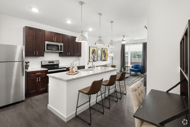
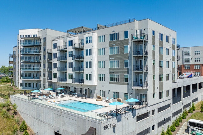
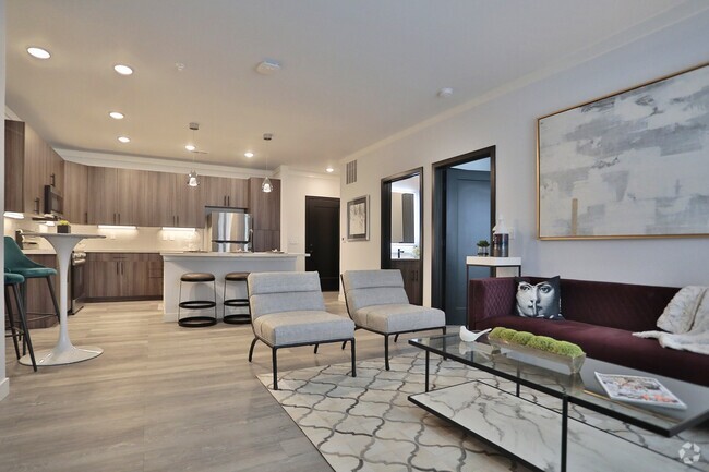
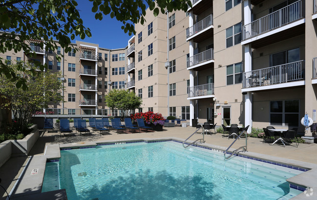
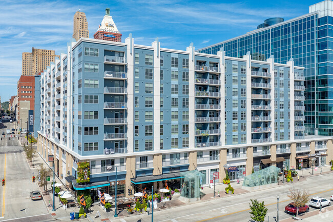
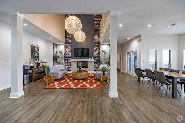
You May Also Like
Similar Rentals Nearby


What Are Walk Score®, Transit Score®, and Bike Score® Ratings?
Walk Score® measures the walkability of any address. Transit Score® measures access to public transit. Bike Score® measures the bikeability of any address.
What is a Sound Score Rating?
A Sound Score Rating aggregates noise caused by vehicle traffic, airplane traffic and local sources
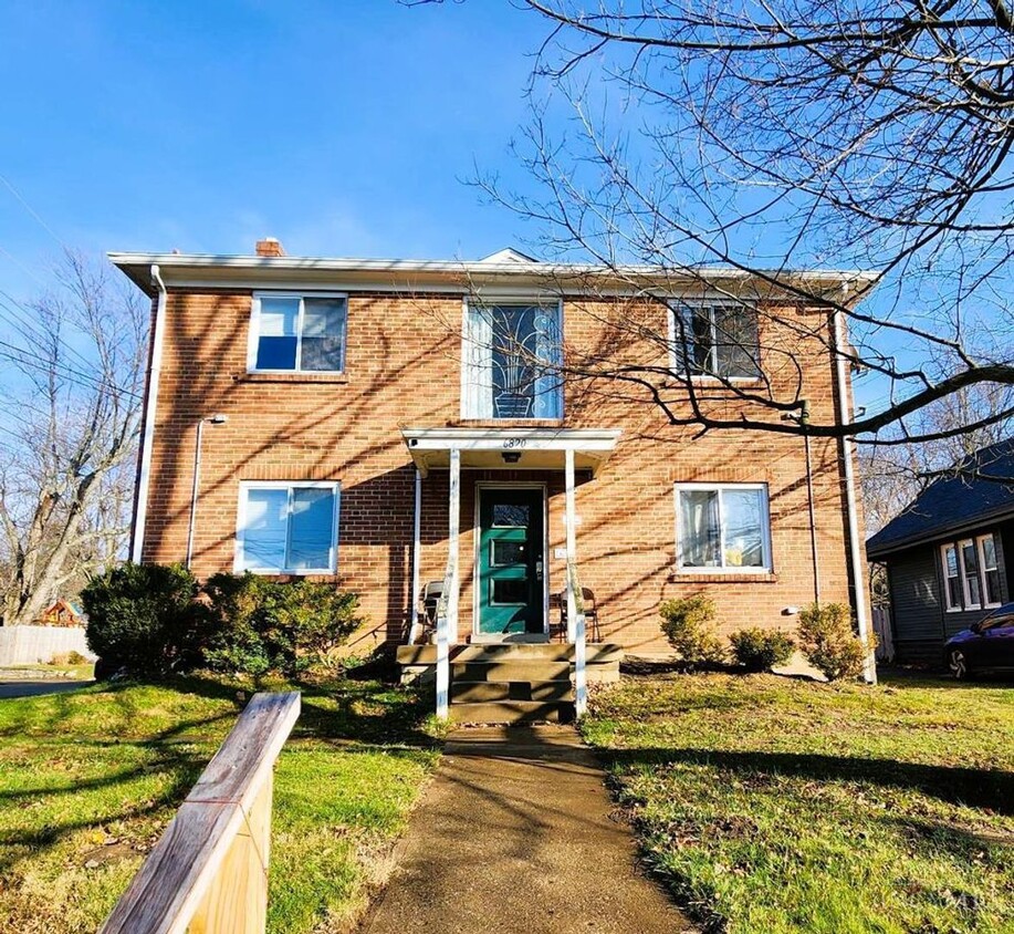
6820 Plainfield Rd
Silverton, OH 45236