
684 Parker St Unit Parker St
Roxbury Crossing, MA 02120
-
Bedrooms
1
-
Bathrooms
1
-
Square Feet
580 sq ft
-
Available
Available Sep 1

Fees and Policies
The fees below are based on community-supplied data and may exclude additional fees and utilities.
- Parking
-
Street--
Details
Utilities Included
-
Water
-
Electricity
Contact
- Phone Number (857) 341-8395
- Contact
Boston’s Roxbury Crossing neighborhood (also known as Mission Hill) is a historic residential community adjacent to one of the city’s busiest sections. The neighborhood is located next door to the Longwood Medical Area, making it a perfect spot for folks who work at Boston Children’s Hospital, VA Boston Healthcare System, Massachusetts College of Pharmacy and Health Science, or Harvard Medical School.
Massachusetts College of Art and Design and Wentworth Institute of Technology are right on the north side as well, making it a highly convenient location for students. You’ll also be within walking distance of Fenway Park and its surrounding dining, retail, and entertainment district, and surrounded by beautiful parks, including Boston’s famous Emerald Necklace. Rentals can be a bit pricey, but you can find some great deals on apartments, condos, and houses in this area.
Learn more about living in Roxbury Crossing| Colleges & Universities | Distance | ||
|---|---|---|---|
| Colleges & Universities | Distance | ||
| Walk: | 7 min | 0.4 mi | |
| Walk: | 9 min | 0.5 mi | |
| Walk: | 9 min | 0.5 mi | |
| Drive: | 4 min | 1.5 mi |
Transportation options available in Roxbury Crossing include Roxbury Crossing Station, located 0.2 mile from 684 Parker St Unit Parker St. 684 Parker St Unit Parker St is near General Edward Lawrence Logan International, located 6.5 miles or 13 minutes away.
| Transit / Subway | Distance | ||
|---|---|---|---|
| Transit / Subway | Distance | ||
|
|
Walk: | 4 min | 0.2 mi |
|
|
Walk: | 8 min | 0.4 mi |
|
|
Walk: | 9 min | 0.5 mi |
|
|
Walk: | 9 min | 0.5 mi |
|
|
Walk: | 11 min | 0.6 mi |
| Commuter Rail | Distance | ||
|---|---|---|---|
| Commuter Rail | Distance | ||
|
|
Walk: | 11 min | 0.6 mi |
| Drive: | 4 min | 1.9 mi | |
|
|
Drive: | 7 min | 1.9 mi |
|
|
Drive: | 4 min | 1.9 mi |
|
|
Drive: | 9 min | 4.6 mi |
| Airports | Distance | ||
|---|---|---|---|
| Airports | Distance | ||
|
General Edward Lawrence Logan International
|
Drive: | 13 min | 6.5 mi |
Time and distance from 684 Parker St Unit Parker St.
| Shopping Centers | Distance | ||
|---|---|---|---|
| Shopping Centers | Distance | ||
| Walk: | 15 min | 0.8 mi | |
| Drive: | 3 min | 1.5 mi | |
| Drive: | 4 min | 1.6 mi |
| Parks and Recreation | Distance | ||
|---|---|---|---|
| Parks and Recreation | Distance | ||
|
Roxbury Heritage State Park
|
Walk: | 9 min | 0.5 mi |
|
Charles River Reservation
|
Drive: | 4 min | 1.9 mi |
|
Frederick Law Olmsted National Historic Site
|
Drive: | 4 min | 2.1 mi |
|
John Fitzgerald Kennedy National Historic Site
|
Drive: | 6 min | 2.1 mi |
|
Coit Observatory
|
Drive: | 5 min | 2.3 mi |
| Hospitals | Distance | ||
|---|---|---|---|
| Hospitals | Distance | ||
| Walk: | 12 min | 0.7 mi | |
| Walk: | 12 min | 0.7 mi | |
| Walk: | 14 min | 0.7 mi |
| Military Bases | Distance | ||
|---|---|---|---|
| Military Bases | Distance | ||
| Drive: | 27 min | 15.1 mi | |
| Drive: | 30 min | 15.5 mi |
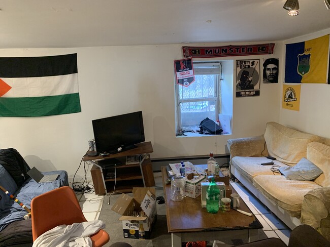
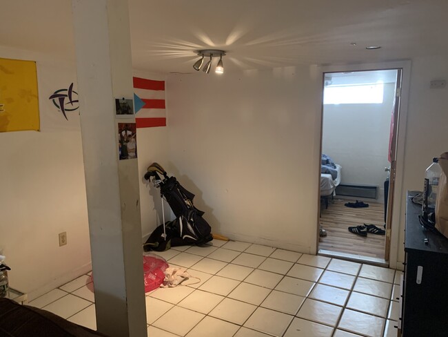
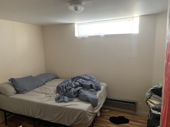
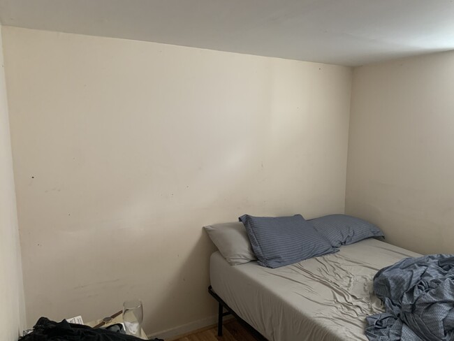
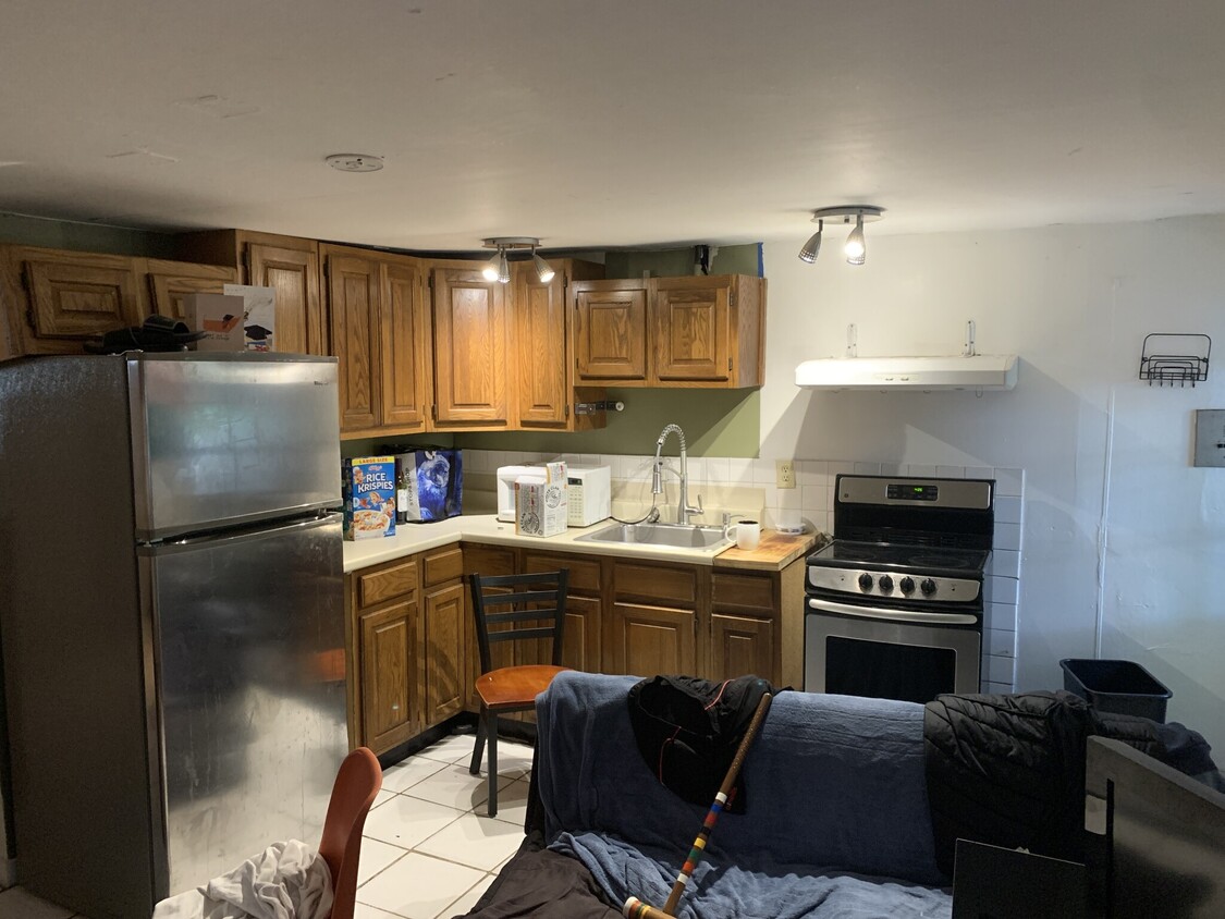
684 Parker St Unit Parker St Photos
What Are Walk Score®, Transit Score®, and Bike Score® Ratings?
Walk Score® measures the walkability of any address. Transit Score® measures access to public transit. Bike Score® measures the bikeability of any address.
What is a Sound Score Rating?
A Sound Score Rating aggregates noise caused by vehicle traffic, airplane traffic and local sources
684 Parker St
Roxbury Crossing, MA 02120