$2,600 / Month
687 7th St Unit 1
Richmond, CA 94801
Today
Favorites
510-243-1777
-
Bedrooms
3
-
Bathrooms
1
-
Square Feet
--
-
Available
Available Now
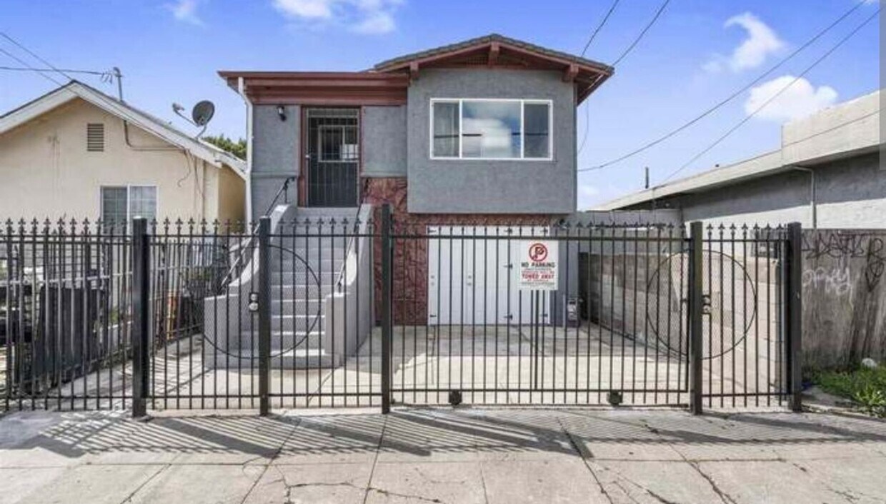
687 7th St Unit 1

Favorites
About This Home
$2,600 deposit,
Available Now
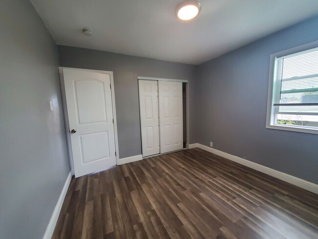
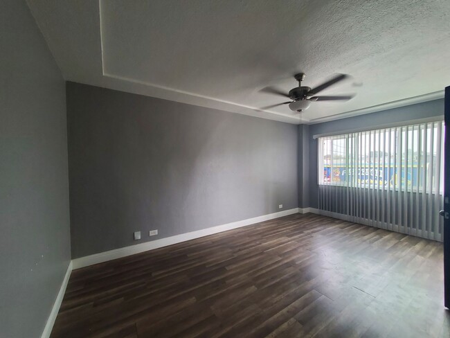
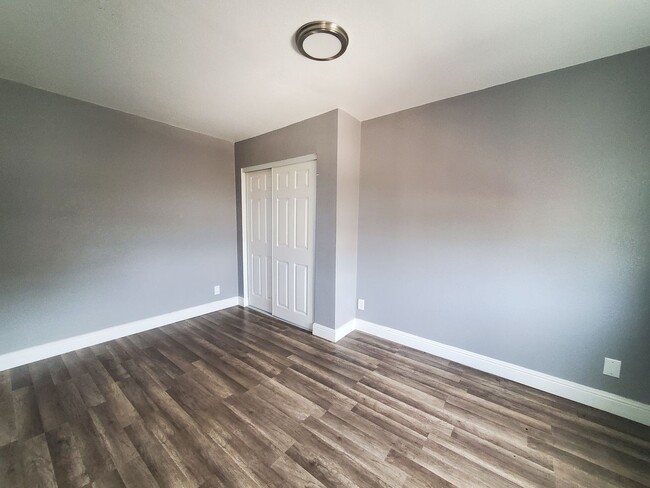
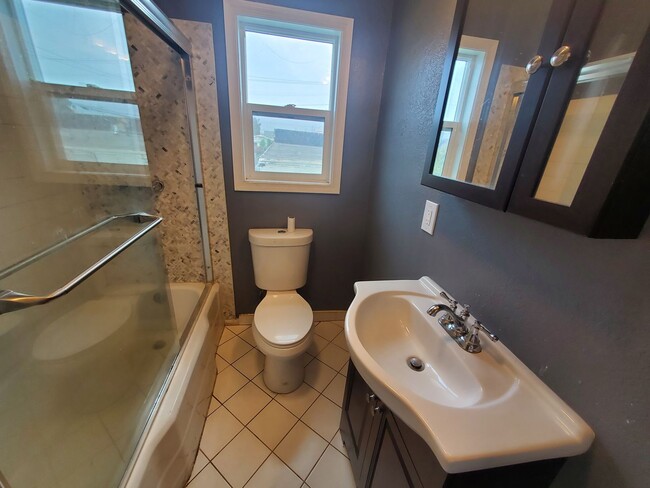
This spacious upstairs flat has an updated kitchen and bathroom, formal living room with plenty of natural light and 3 bedrooms. This home has been tastefully painted and is nicely adorned with grey washed laminate flooring. Also has large laundry room with washer and dryer hookups. Close to Richmond Bart station which is convenient for an easy commute to SF. Large backyard. Tenant will pay 50% of utility bill. Garbage is included in the rent.
687 7th St is an apartment community located in Contra Costa County and the 94801 ZIP Code.
* Price shown is base rent and may not include non-optional fees and utilities.
Price, availability, fees, and any applicable rent special are subject to change without notice.
* Square footage definitions vary. Displayed square footage is approximate.
Contact
- Listed by CES | CES Premier Real Estate Services, Inc
- Phone Number
- Contact
Location
Get Directions
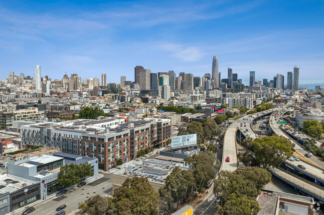
The Iron Triangle neighborhood sits in the heart of Central Richmond, California. With the area being largely residential, most rentals reside in the upper part of the triangle and an easy three-mile commute north to Point Richmond, a major shipping and industrial area. To the south, Berkeley and Oakland lie roughly 10 miles away via Interstate 580.
Locals often head for the Miller/Knox Regional Shoreline for a bit of jogging or cycling, or to cast a line off the fishing pier. Wade into the waters of San Francisco Bay at Keller Beach on the northern end of the park, or enjoy a show at the Masquers Playhouse, also just outside the Iron Triangle's southern border. Most eateries sit along Interstate 580, including several fast food chains. The MacDonald 80 Shopping Center lies roughly three miles east of the neighborhood. Drive another three miles and find Wildcat Canyon Regional Park and the Tilden Nature Area.
Learn more about living in Iron Triangle
Education
| Colleges & Universities | Distance | ||
|---|---|---|---|
| Colleges & Universities | Distance | ||
| Drive: | 6 min | 3.0 mi | |
| Drive: | 16 min | 9.6 mi | |
| Drive: | 20 min | 10.6 mi | |
| Drive: | 19 min | 11.4 mi |
687 7th St Unit 1 is within 6 minutes or 3.0 miles from Contra Costa College. It is also near Berkeley City College and UC Berkeley.
Transportation options available in Richmond include Richmond Station, located 0.9 mile from 687 7th St Unit 1. 687 7th St Unit 1 is near Metro Oakland International, located 22.6 miles or 31 minutes away, and San Francisco International, located 30.2 miles or 44 minutes away.
| Transit / Subway | Distance | ||
|---|---|---|---|
| Transit / Subway | Distance | ||
|
|
Walk: | 16 min | 0.9 mi |
|
|
Drive: | 7 min | 3.3 mi |
|
|
Drive: | 10 min | 5.4 mi |
|
|
Drive: | 15 min | 9.1 mi |
|
|
Drive: | 17 min | 9.7 mi |
| Commuter Rail | Distance | ||
|---|---|---|---|
| Commuter Rail | Distance | ||
|
|
Drive: | 12 min | 8.2 mi |
| Drive: | 17 min | 9.6 mi | |
|
|
Drive: | 14 min | 10.0 mi |
| Drive: | 17 min | 10.6 mi | |
| Drive: | 21 min | 13.9 mi |
| Airports | Distance | ||
|---|---|---|---|
| Airports | Distance | ||
|
Metro Oakland International
|
Drive: | 31 min | 22.6 mi |
|
San Francisco International
|
Drive: | 44 min | 30.2 mi |
Time and distance from 687 7th St Unit 1.
| Shopping Centers | Distance | ||
|---|---|---|---|
| Shopping Centers | Distance | ||
| Walk: | 14 min | 0.8 mi | |
| Drive: | 3 min | 1.5 mi | |
| Drive: | 4 min | 2.1 mi |
687 7th St Unit 1 has 3 shopping centers within 2.1 miles, which is about a 4-minute walk. The miles and minutes will be for the farthest away property.
| Parks and Recreation | Distance | ||
|---|---|---|---|
| Parks and Recreation | Distance | ||
|
Rosie the Riveter WWII Home Front National Historical Park
|
Drive: | 6 min | 2.5 mi |
|
Marina Park & Green
|
Drive: | 6 min | 2.7 mi |
|
Miller/Knox Regional Shoreline
|
Drive: | 5 min | 2.8 mi |
|
Shimada Friendship Park
|
Drive: | 7 min | 3.4 mi |
|
Brooks Island Regional Preserve
|
Drive: | 10 min | 4.4 mi |
687 7th St Unit 1 has 5 parks within 4.4 miles, including Rosie the Riveter WWII Home Front National Historical Park, Marina Park & Green, and Miller/Knox Regional Shoreline.
| Hospitals | Distance | ||
|---|---|---|---|
| Hospitals | Distance | ||
| Drive: | 19 min | 11.2 mi | |
| Drive: | 16 min | 12.1 mi | |
| Drive: | 17 min | 12.1 mi |
687 7th St Unit 1 has 3 hospitals within 12.1 miles, the nearest is Alta Bates Summit Medical Center - Alta Bates Campus which is 11.2 miles away and a 19 minute drive.
| Military Bases | Distance | ||
|---|---|---|---|
| Military Bases | Distance | ||
| Drive: | 6 min | 3.0 mi | |
| Drive: | 13 min | 6.0 mi | |
| Drive: | 25 min | 16.2 mi |
687 7th St Unit 1 has 3 military bases within 16.2 miles, the nearest is Armory West Contra Costa which is 3.0 miles away and a 6 minute drive.
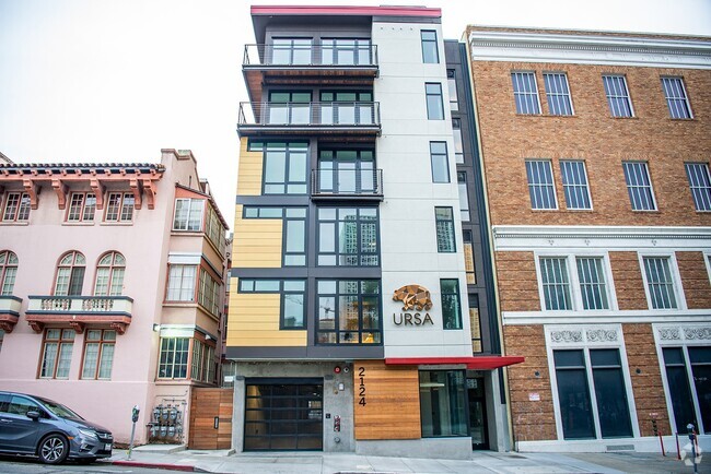
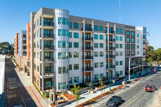
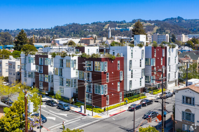
You May Also Like
Similar Rentals Nearby

What Are Walk Score®, Transit Score®, and Bike Score® Ratings?
Walk Score® measures the walkability of any address. Transit Score® measures access to public transit. Bike Score® measures the bikeability of any address.
What is a Sound Score Rating?
A Sound Score Rating aggregates noise caused by vehicle traffic, airplane traffic and local sources

687 7th St
Richmond, CA 94801