$1,200 / Month
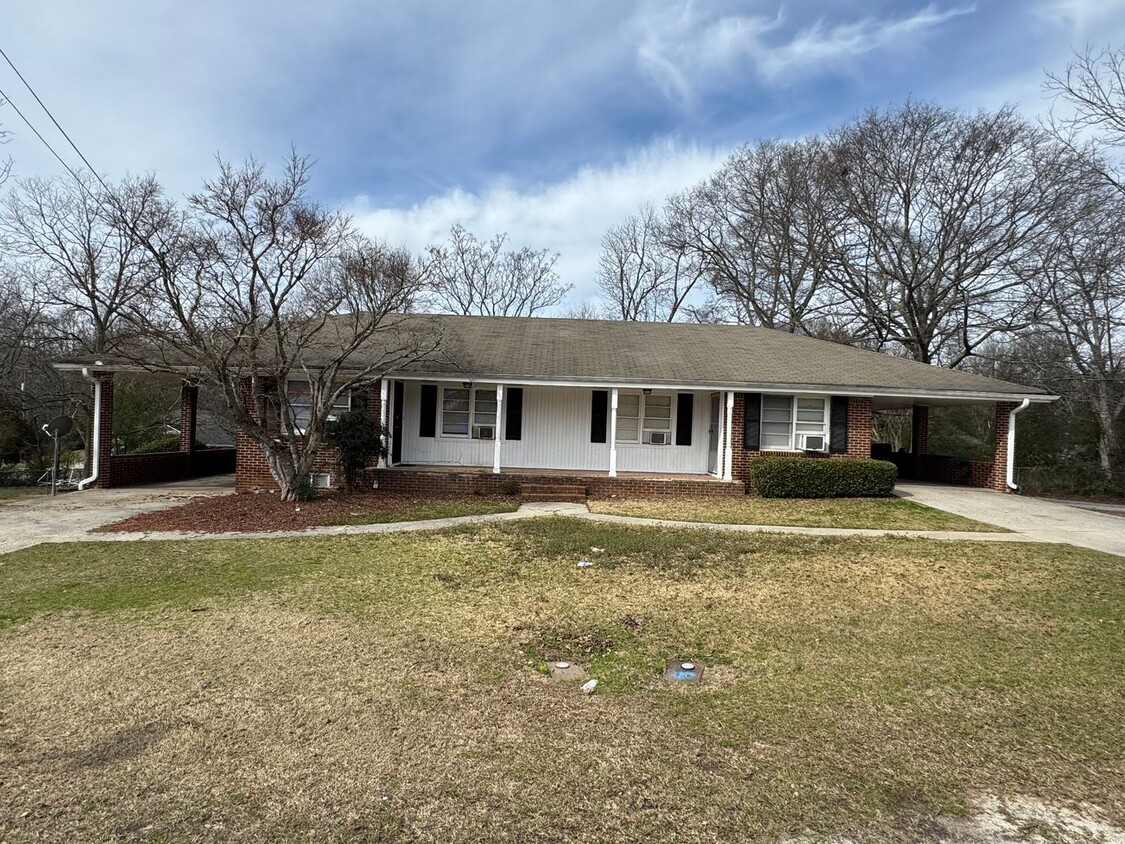
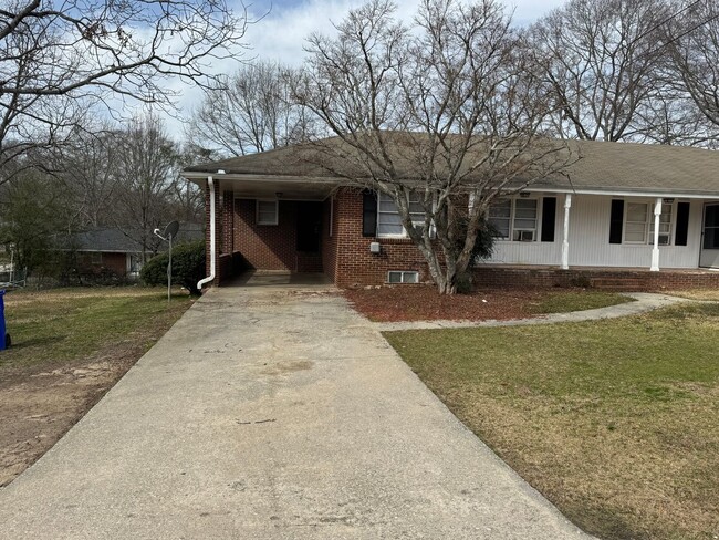
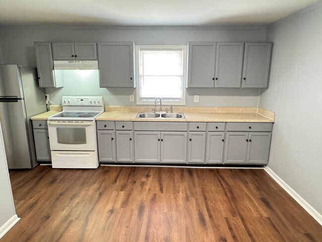
691 2nd Ave SW Unit A
Conyers, GA 30012
Today
Favorites
678-625-9323
-
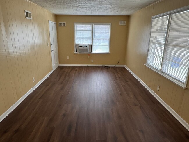
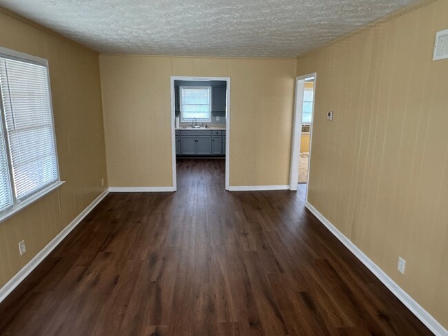
Bedrooms
2
-
Bathrooms
1
-
Square Feet
910 sq ft
-
Available
Available Now
691 2nd Ave SW Unit A

Favorites
Contact
- Listed by Atlanta | Atlanta Peach Management & Realty, Inc.
- Phone Number
- Contact
Location
Get Directions
The city of Conyers is made up of tree-lined streets, large lots, and safe residential neighborhoods. As a suburb of Atlanta, Conyers is the only city in Rockdale County and sits just 24 miles east of Downtown Atlanta. Conyers sits along Interstate 20, so traveling into Atlanta or commuting in general is simple. There is ample affordable housing in the city, although there are many large estates and luxury apartments available for rent as well. Conyers is known for its family-friendly environment, boasting a welcoming community and abundant amenities like restaurants, neighborhood parks, supermarkets, big-box stores, movie theaters, and small businesses like Nana’s Chicken-N-Waffles on Flat Shoals Road. Residents of Conyers appreciate the city’s laid-back feel, outdoorsy vibe, and proximity to Atlanta.
Learn more about living in Conyers
Education
| Colleges & Universities | Distance | ||
|---|---|---|---|
| Colleges & Universities | Distance | ||
| Drive: | 19 min | 13.4 mi | |
| Drive: | 25 min | 16.9 mi | |
| Drive: | 28 min | 19.0 mi | |
| Drive: | 28 min | 19.2 mi |
691 2nd Ave SW Unit A is within 19 minutes or 13.4 miles from Emory University, Oxford. It is also near Georgia Perim., Clarkston and Georgia Perim. Coll., Decatur.
Transportation options available in Conyers include Indian Creek, located 16.8 miles from 691 2nd Ave SW Unit A. 691 2nd Ave SW Unit A is near Hartsfield - Jackson Atlanta International, located 26.8 miles or 39 minutes away.
| Transit / Subway | Distance | ||
|---|---|---|---|
| Transit / Subway | Distance | ||
|
|
Drive: | 23 min | 16.8 mi |
|
|
Drive: | 25 min | 17.8 mi |
|
|
Drive: | 27 min | 19.4 mi |
|
|
Drive: | 29 min | 20.2 mi |
|
|
Drive: | 30 min | 20.3 mi |
| Commuter Rail | Distance | ||
|---|---|---|---|
| Commuter Rail | Distance | ||
|
|
Drive: | 37 min | 27.2 mi |
| Airports | Distance | ||
|---|---|---|---|
| Airports | Distance | ||
|
Hartsfield - Jackson Atlanta International
|
Drive: | 39 min | 26.8 mi |
Time and distance from 691 2nd Ave SW Unit A.
| Shopping Centers | Distance | ||
|---|---|---|---|
| Shopping Centers | Distance | ||
| Walk: | 13 min | 0.7 mi | |
| Walk: | 17 min | 0.9 mi | |
| Drive: | 3 min | 1.1 mi |
691 2nd Ave SW Unit A has 3 shopping centers within 1.1 miles, which is about a 3-minute walk. The miles and minutes will be for the farthest away property.
| Parks and Recreation | Distance | ||
|---|---|---|---|
| Parks and Recreation | Distance | ||
|
Arabia Mountain Heritage Area and Nature Center
|
Drive: | 14 min | 7.7 mi |
|
Lenora Park
|
Drive: | 17 min | 10.0 mi |
|
Yellow River Park
|
Drive: | 24 min | 11.4 mi |
|
DeShong Park
|
Drive: | 23 min | 12.7 mi |
|
Panola Mountain State Park
|
Drive: | 24 min | 14.1 mi |
691 2nd Ave SW Unit A has 5 parks within 14.1 miles, including Arabia Mountain Heritage Area and Nature Center, Lenora Park, and Yellow River Park.
| Hospitals | Distance | ||
|---|---|---|---|
| Hospitals | Distance | ||
| Drive: | 5 min | 2.3 mi | |
| Drive: | 15 min | 7.9 mi |
691 2nd Ave SW Unit A is 2.3 miles from Piedmont Rockdale Hospital, and is convenient to other hospitals, including Emory Hillandale Hospital.
| Military Bases | Distance | ||
|---|---|---|---|
| Military Bases | Distance | ||
| Drive: | 36 min | 24.6 mi | |
| Drive: | 38 min | 27.6 mi |
691 2nd Ave SW Unit A is 24.6 miles from Fort Gillem, and is convenient to other military bases, including Fort McPherson.
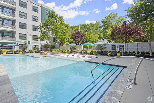
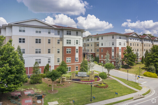
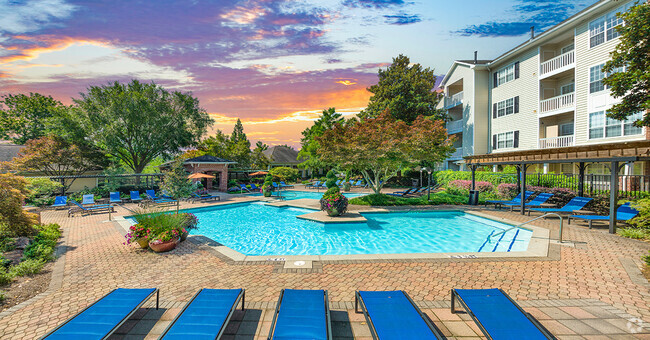
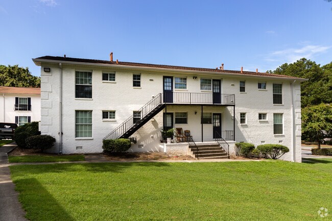
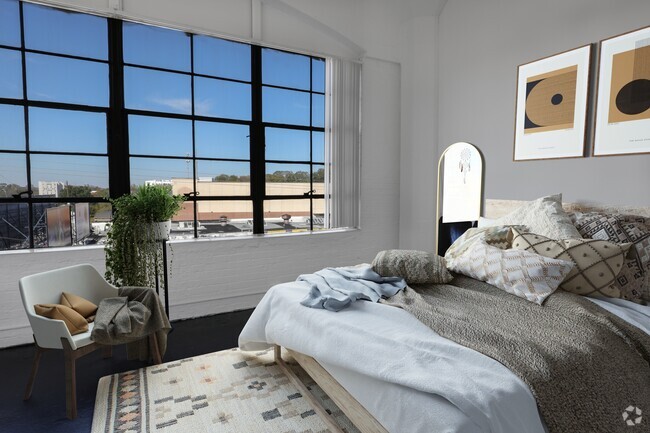
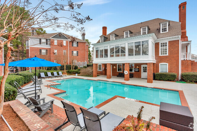
You May Also Like
Similar Rentals Nearby


What Are Walk Score®, Transit Score®, and Bike Score® Ratings?
Walk Score® measures the walkability of any address. Transit Score® measures access to public transit. Bike Score® measures the bikeability of any address.
What is a Sound Score Rating?
A Sound Score Rating aggregates noise caused by vehicle traffic, airplane traffic and local sources

691 2nd Ave SW
Conyers, GA 30012