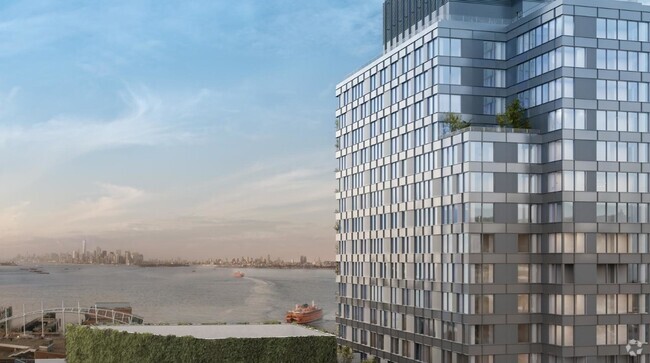
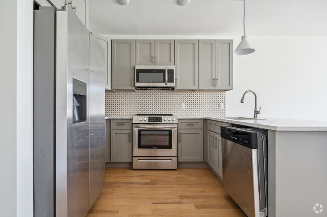
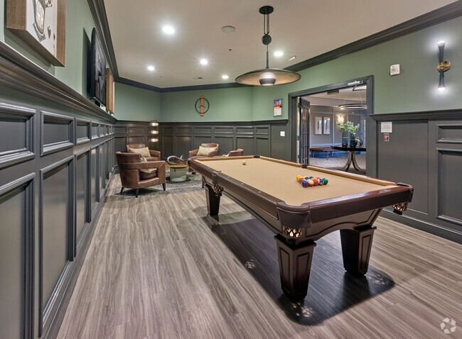
70 Crawford St
70 Crawford St,
Newark,
NJ
07102


Check Back Soon for Upcoming Availability
About 70 Crawford St Newark, NJ 07102
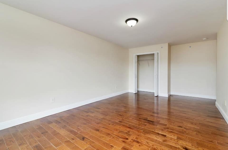
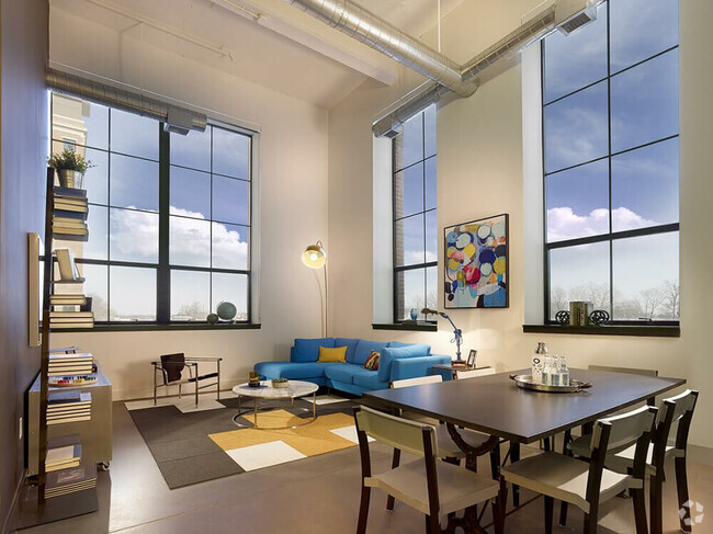
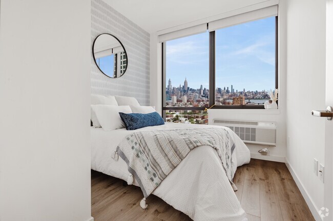
1 BEDROOM NEWARK NJ
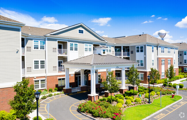
70 Crawford St is an apartment community located in Essex County and the 07102 ZIP Code.
 This Property
 Available Property
The South Broad Street neighborhood sits just south of Downtown Newark. This area is very walkable and accessible to public transportation, making it easy to get around the city. Many apartments and condos for rent sit within walking distance of Lincoln Park, where locals gather for events such as the popular Lincoln Park Music Festival, a community celebration of music, food, and culture that features live gospel, hip hop, and jazz. The New Jersey Institute of Technology, Newark Museum of Art, and Rutgers University Newark Campus sit nearby, so there are plenty of options for further education and entertainment around South Broad Street.
Learn more about living in South Broad StreetBelow are rent ranges for similar nearby apartments
| Colleges & Universities | Distance | ||
|---|---|---|---|
| Colleges & Universities | Distance | ||
| Walk: | 15 min | 0.8 mi | |
| Drive: | 2 min | 1.3 mi | |
| Drive: | 3 min | 1.3 mi | |
| Drive: | 11 min | 4.7 mi |
Transportation options available in Newark include Washington Street, located 0.9 mile from 70 Crawford St. 70 Crawford St is near Newark Liberty International, located 4.7 miles or 8 minutes away, and Laguardia, located 24.0 miles or 42 minutes away.
| Transit / Subway | Distance | ||
|---|---|---|---|
| Transit / Subway | Distance | ||
|
|
Walk: | 17 min | 0.9 mi |
|
|
Walk: | 19 min | 1.0 mi |
|
|
Drive: | 3 min | 1.4 mi |
|
|
Drive: | 3 min | 1.8 mi |
|
|
Drive: | 3 min | 1.9 mi |
| Commuter Rail | Distance | ||
|---|---|---|---|
| Commuter Rail | Distance | ||
|
|
Drive: | 3 min | 1.3 mi |
|
|
Drive: | 5 min | 2.3 mi |
|
|
Drive: | 4 min | 2.3 mi |
|
|
Drive: | 8 min | 3.0 mi |
|
|
Drive: | 8 min | 3.0 mi |
| Airports | Distance | ||
|---|---|---|---|
| Airports | Distance | ||
|
Newark Liberty International
|
Drive: | 8 min | 4.7 mi |
|
Laguardia
|
Drive: | 42 min | 24.0 mi |
Time and distance from 70 Crawford St.
| Shopping Centers | Distance | ||
|---|---|---|---|
| Shopping Centers | Distance | ||
| Walk: | 18 min | 1.0 mi | |
| Drive: | 3 min | 1.2 mi | |
| Drive: | 3 min | 1.4 mi |
| Parks and Recreation | Distance | ||
|---|---|---|---|
| Parks and Recreation | Distance | ||
|
Newark Museum and Dreyfuss Planetarium
|
Drive: | 2 min | 1.2 mi |
|
Branch Brook Park
|
Drive: | 7 min | 3.3 mi |
|
Kearny Marsh
|
Drive: | 9 min | 4.2 mi |
|
Richard W. DeKorte Park
|
Drive: | 14 min | 7.0 mi |
|
Stephen Gregg Park
|
Drive: | 14 min | 8.1 mi |
| Hospitals | Distance | ||
|---|---|---|---|
| Hospitals | Distance | ||
| Drive: | 2 min | 1.3 mi | |
| Drive: | 3 min | 1.8 mi | |
| Drive: | 5 min | 2.8 mi |
| Military Bases | Distance | ||
|---|---|---|---|
| Military Bases | Distance | ||
| Drive: | 13 min | 8.6 mi | |
| Drive: | 25 min | 16.2 mi | |
| Drive: | 29 min | 16.6 mi |
You May Also Like
Similar Rentals Nearby
What Are Walk Score®, Transit Score®, and Bike Score® Ratings?
Walk Score® measures the walkability of any address. Transit Score® measures access to public transit. Bike Score® measures the bikeability of any address.
What is a Sound Score Rating?
A Sound Score Rating aggregates noise caused by vehicle traffic, airplane traffic and local sources
