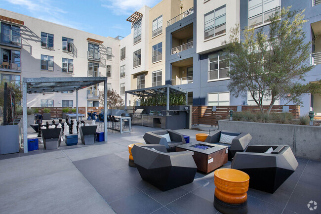
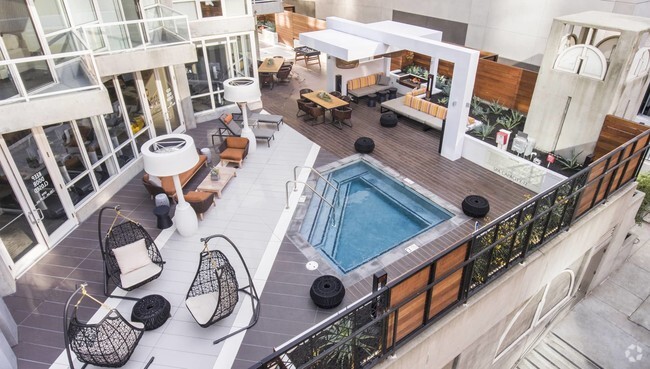
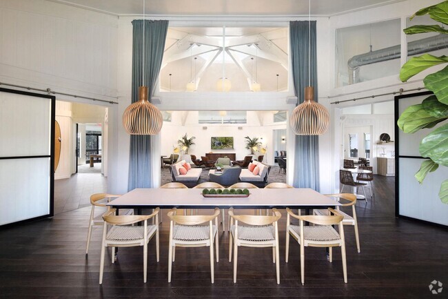
708 Buchanan St
708 Buchanan St,
San Francisco,
CA
94102
2 Weeks Ago
Favorites
708 Buchanan St

Favorites
Check Back Soon for Upcoming Availability
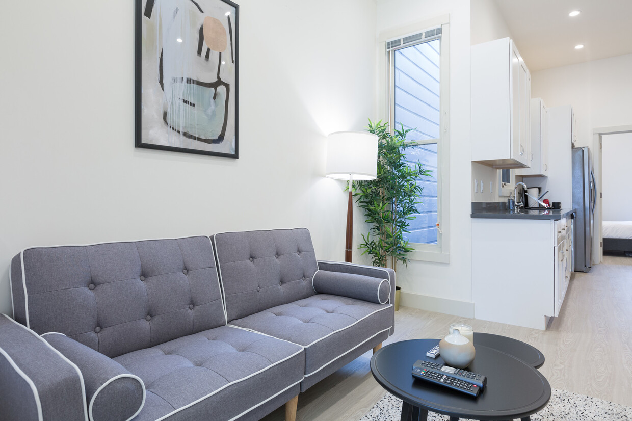
About 708 Buchanan St San Francisco, CA 94102
Hayes Valley is conveniently located close to Civic Center, Downtown, and SOMA, home to lots of tech cos, such as Twitter, and exciting start-ups. Commuting will be a breeze from here with Highways 101 and 80 close by, as well as lots of public transportation (Civic Center BART is about 8 blocks away). Patricia Green Park is a great place to catch up on some relaxation and enjoy your Blue Bottle coffee :)
708 Buchanan St is an apartment community located in San Francisco County and the 94102 ZIP Code.
Apartment Features
- Washer/Dryer
- Smoke Free
- Furnished
Fees and Policies
The fees below are based on community-supplied data and may exclude additional fees and utilities.
- Parking
-
Street--
Details
Lease Options
-
1 Month
Property Information
-
Furnished Units Available
Location
Get Directions
Hayes Valley sits between the historic districts of Alamo Square and the Civic Center in the metropolitan San Francisco area. The neighborhood includes mostly townhomes and upscale apartment rentals mixed amongst the boutique shops and restaurants of the area. The beautiful Victorian, Edwardian and Queen Anne architecture of the townhomes as well as the close proximity (less than a mile) to Downtown San Francisco combine to make Hayes Valley a great place to live.
Learn more about living in Hayes ValleyBelow are rent ranges for similar nearby apartments
Amenities
- Washer/Dryer
- Smoke Free
- Furnished
Education
| Colleges & Universities | Distance | ||
|---|---|---|---|
| Colleges & Universities | Distance | ||
| Drive: | 4 min | 1.3 mi | |
| Drive: | 5 min | 1.6 mi | |
| Drive: | 6 min | 2.0 mi | |
| Drive: | 6 min | 2.1 mi |
708 Buchanan St is within 4 minutes or 1.3 miles from UC San Francisco, Mount Zion. It is also near University of San Francisco and Academy of Art University.
Transportation options available in San Francisco include Market And Laguna/Guerrero, located 0.5 mile from 708 Buchanan St. 708 Buchanan St is near San Francisco International, located 13.7 miles or 22 minutes away, and Metro Oakland International, located 21.2 miles or 32 minutes away.
| Transit / Subway | Distance | ||
|---|---|---|---|
| Transit / Subway | Distance | ||
|
|
Walk: | 9 min | 0.5 mi |
|
|
Walk: | 10 min | 0.6 mi |
|
|
Walk: | 11 min | 0.6 mi |
|
|
Walk: | 11 min | 0.6 mi |
|
|
Walk: | 12 min | 0.6 mi |
| Commuter Rail | Distance | ||
|---|---|---|---|
| Commuter Rail | Distance | ||
| Drive: | 5 min | 2.8 mi | |
| Drive: | 7 min | 3.7 mi | |
| Drive: | 10 min | 5.9 mi | |
| Drive: | 16 min | 10.3 mi | |
|
|
Drive: | 21 min | 12.8 mi |
| Airports | Distance | ||
|---|---|---|---|
| Airports | Distance | ||
|
San Francisco International
|
Drive: | 22 min | 13.7 mi |
|
Metro Oakland International
|
Drive: | 32 min | 21.2 mi |
Time and distance from 708 Buchanan St.
| Shopping Centers | Distance | ||
|---|---|---|---|
| Shopping Centers | Distance | ||
| Walk: | 16 min | 0.8 mi | |
| Walk: | 16 min | 0.8 mi | |
| Drive: | 4 min | 1.1 mi |
708 Buchanan St has 3 shopping centers within 1.1 miles, which is about a 4-minute walk. The miles and minutes will be for the farthest away property.
| Parks and Recreation | Distance | ||
|---|---|---|---|
| Parks and Recreation | Distance | ||
|
Buena Vista Park
|
Drive: | 4 min | 1.2 mi |
|
Randall Museum
|
Drive: | 5 min | 1.7 mi |
|
Children's Creativity Museum
|
Drive: | 4 min | 1.8 mi |
|
Conservatory of Flowers
|
Drive: | 5 min | 1.9 mi |
|
San Francisco Maritime National Historical Park
|
Drive: | 8 min | 3.1 mi |
708 Buchanan St has 5 parks within 3.1 miles, including Buena Vista Park, Randall Museum, and Children's Creativity Museum.
| Hospitals | Distance | ||
|---|---|---|---|
| Hospitals | Distance | ||
| Walk: | 16 min | 0.9 mi | |
| Drive: | 3 min | 1.4 mi | |
| Drive: | 4 min | 1.7 mi |
708 Buchanan St has 3 hospitals within 1.7 miles, the nearest is California Pacific Medical Center - Davies Campus which is 0.9 mile away and a 16 minute walk.
| Military Bases | Distance | ||
|---|---|---|---|
| Military Bases | Distance | ||
| Drive: | 14 min | 4.9 mi | |
| Drive: | 14 min | 5.4 mi | |
| Drive: | 15 min | 7.3 mi |
708 Buchanan St has 3 military bases within 7.3 miles, the nearest is East Fort Miley which is 4.9 miles away and a 14 minute drive.
You May Also Like
Similar Rentals Nearby


What Are Walk Score®, Transit Score®, and Bike Score® Ratings?
Walk Score® measures the walkability of any address. Transit Score® measures access to public transit. Bike Score® measures the bikeability of any address.
What is a Sound Score Rating?
A Sound Score Rating aggregates noise caused by vehicle traffic, airplane traffic and local sources