
$1,375 / Month
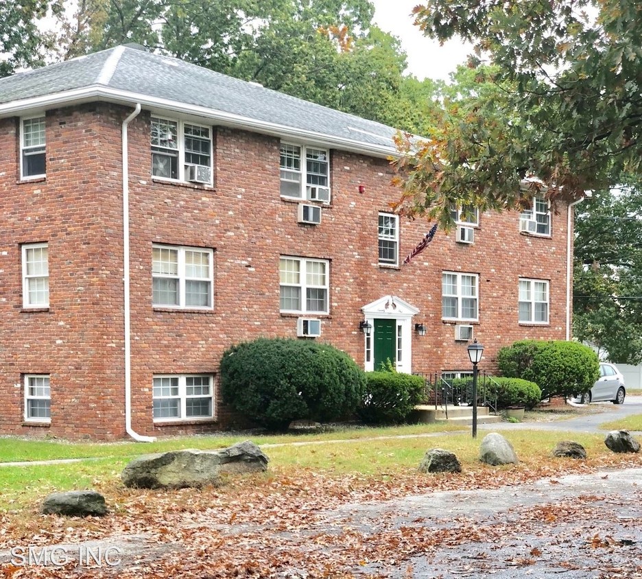
71 Bernier St
Lowell, MA 01852
2 Weeks Ago
Favorites
71 Bernier St

Favorites
Check Back Soon for Upcoming Availability
| Beds | Baths | Average SF |
|---|---|---|
| 2 Bedrooms 2 Bedrooms 2 Br | 1 Bath 1 Bath 1 Ba | — |
About This Property
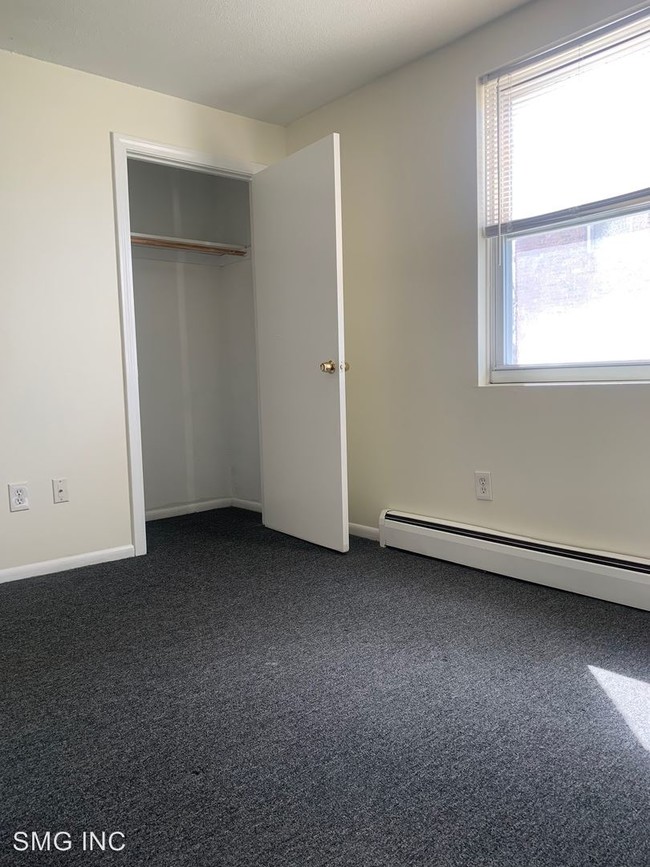
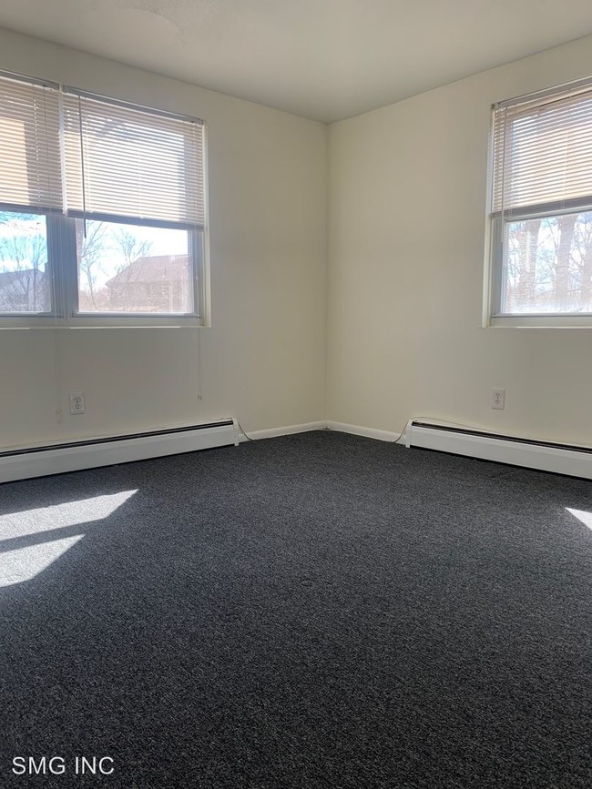
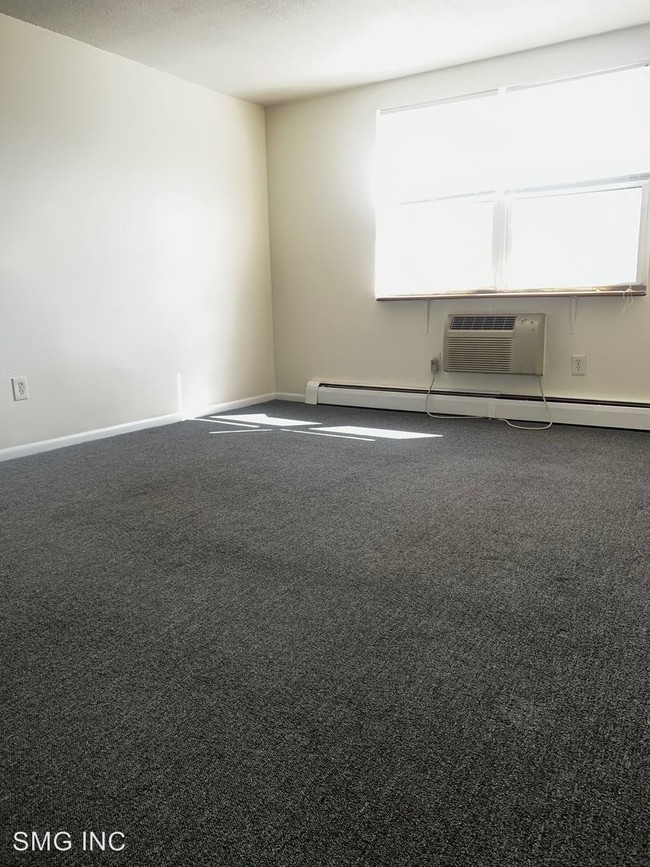
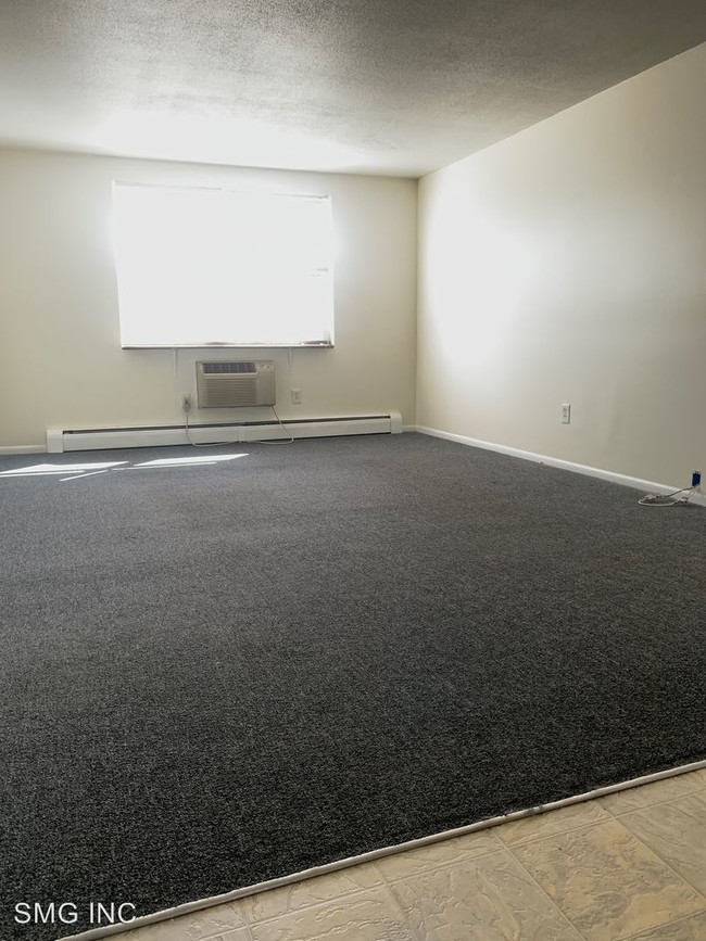
(774) 314-1547 - Beautiful, 2BR Apartment; Heat, Hot Water and gas for cooking included - SMG INC, proudly presents the new acquisition of Bernier Street Apartments. Apartment home living in South Lowell (Border of Tewksbury and North Billerica). Seconds from Interstate 495 (Right off exit 37) and few short minutes to Routes 3 and 110. Bernier Street Apartments is the perfect community to call home. Situated in a gorgeous single-family neighborhood with a “living in the suburbs” feel; a quiet place to live while being only minutes from the city. Close proximity (1.8 miles) to the North Billerica MBTA/Commuter rail station providing a quick trip into downtown Boston. Heat, hot water, gas for cooking, sewer, waste removal, landscaping, and snow removal are included in the rent. Laundry is within the building in a common area room. Unit has assigned off street parking. (RLNE4761396)
71 Bernier St is an apartment community located in Middlesex County and the 01852 ZIP Code.
Location
Get Directions
South Lowell is a historic neighborhood that sits approximately 30 miles northwest of Boston. The Concord River and Interstate 495 run through the center of South Lowell, and to the north, you’ll find the Merrimack River and the second-largest university in the state, the University of Massachusetts. Residents can easily walk or bike from place to place, especially with the district’s central location and proximity to Downtown Lowell. Apartments in South Lowell range from affordable to upscale, so there’s something for everyone. Although Lowell is mainly residential, there are a variety of dining, shopping, and entertainment options in the surrounding area.
Learn more about living in South LowellBelow are rent ranges for similar nearby apartments
| Beds | Average Size | Lowest | Typical | Premium |
|---|---|---|---|---|
| Studio Studio Studio | 452 Sq Ft | $1,745 | $2,067 | $2,726 |
| 1 Bed 1 Bed 1 Bed | 912-915 Sq Ft | $1,550 | $2,384 | $3,164 |
| 2 Beds 2 Beds 2 Beds | 1354-1356 Sq Ft | $1,950 | $2,712 | $3,541 |
| 3 Beds 3 Beds 3 Beds | 1500 Sq Ft | $2,500 | $3,525 | $4,400 |
| 4 Beds 4 Beds 4 Beds | 1950 Sq Ft | $3,000 | $3,675 | $4,500 |
Education
| Colleges & Universities | Distance | ||
|---|---|---|---|
| Colleges & Universities | Distance | ||
| Drive: | 7 min | 2.8 mi | |
| Drive: | 8 min | 3.5 mi | |
| Drive: | 18 min | 9.8 mi | |
| Drive: | 16 min | 10.7 mi |
71 Bernier St is within 7 minutes or 2.8 miles from Middlesex C.C., Lowell Campus. It is also near UMass Lowell and Middlesex C.C., Bedford Campus.
Transportation options available in Lowell include Alewife Station, located 21.7 miles from 71 Bernier St. 71 Bernier St is near General Edward Lawrence Logan International, located 31.3 miles or 41 minutes away, and Manchester Boston Regional, located 32.0 miles or 46 minutes away.
| Transit / Subway | Distance | ||
|---|---|---|---|
| Transit / Subway | Distance | ||
|
|
Drive: | 35 min | 21.7 mi |
|
|
Drive: | 31 min | 23.5 mi |
|
|
Drive: | 31 min | 24.8 mi |
| Drive: | 31 min | 25.0 mi | |
|
|
Drive: | 32 min | 25.9 mi |
| Commuter Rail | Distance | ||
|---|---|---|---|
| Commuter Rail | Distance | ||
|
|
Drive: | 4 min | 2.1 mi |
|
|
Drive: | 7 min | 4.2 mi |
|
|
Drive: | 17 min | 9.3 mi |
|
|
Drive: | 15 min | 10.2 mi |
|
|
Drive: | 17 min | 13.0 mi |
| Airports | Distance | ||
|---|---|---|---|
| Airports | Distance | ||
|
General Edward Lawrence Logan International
|
Drive: | 41 min | 31.3 mi |
|
Manchester Boston Regional
|
Drive: | 46 min | 32.0 mi |
Time and distance from 71 Bernier St.
| Shopping Centers | Distance | ||
|---|---|---|---|
| Shopping Centers | Distance | ||
| Drive: | 4 min | 1.9 mi | |
| Drive: | 5 min | 2.0 mi | |
| Drive: | 5 min | 2.5 mi |
71 Bernier St has 3 shopping centers within 2.5 miles, which is about a 5-minute drive. The miles and minutes will be for the farthest away property.
| Parks and Recreation | Distance | ||
|---|---|---|---|
| Parks and Recreation | Distance | ||
|
Lowell National Historical Park
|
Drive: | 7 min | 2.9 mi |
|
Lowell-Dracut-Tyngsboro State Forest
|
Drive: | 15 min | 6.1 mi |
|
Lowell Heritage State Park
|
Drive: | 11 min | 6.5 mi |
|
Ralph Hill Conservation Area
|
Drive: | 14 min | 7.3 mi |
|
Great Brook Farm State Park
|
Drive: | 14 min | 7.5 mi |
71 Bernier St has 5 parks within 7.5 miles, including Lowell National Historical Park, Lowell Heritage State Park, and Ralph Hill Conservation Area.
| Hospitals | Distance | ||
|---|---|---|---|
| Hospitals | Distance | ||
| Drive: | 10 min | 4.4 mi | |
| Drive: | 17 min | 12.4 mi | |
| Drive: | 22 min | 14.0 mi |
71 Bernier St has 3 hospitals within 14.0 miles, the nearest is Lowell General Hospital which is 4.4 miles away and a 10 minute drive.
| Military Bases | Distance | ||
|---|---|---|---|
| Military Bases | Distance | ||
| Drive: | 25 min | 15.2 mi |
71 Bernier St is 15.2 miles and a 25 minute drive from Hanscom Air Force Base.
You May Also Like
Similar Rentals Nearby


What Are Walk Score®, Transit Score®, and Bike Score® Ratings?
Walk Score® measures the walkability of any address. Transit Score® measures access to public transit. Bike Score® measures the bikeability of any address.
What is a Sound Score Rating?
A Sound Score Rating aggregates noise caused by vehicle traffic, airplane traffic and local sources
71 Bernier St
Lowell, MA 01852