-
Monthly Rent
$2,600
-
Bedrooms
4 bd
-
Bathrooms
2.5 ba
-
Square Feet
2,404 sq ft
Details

About This Property
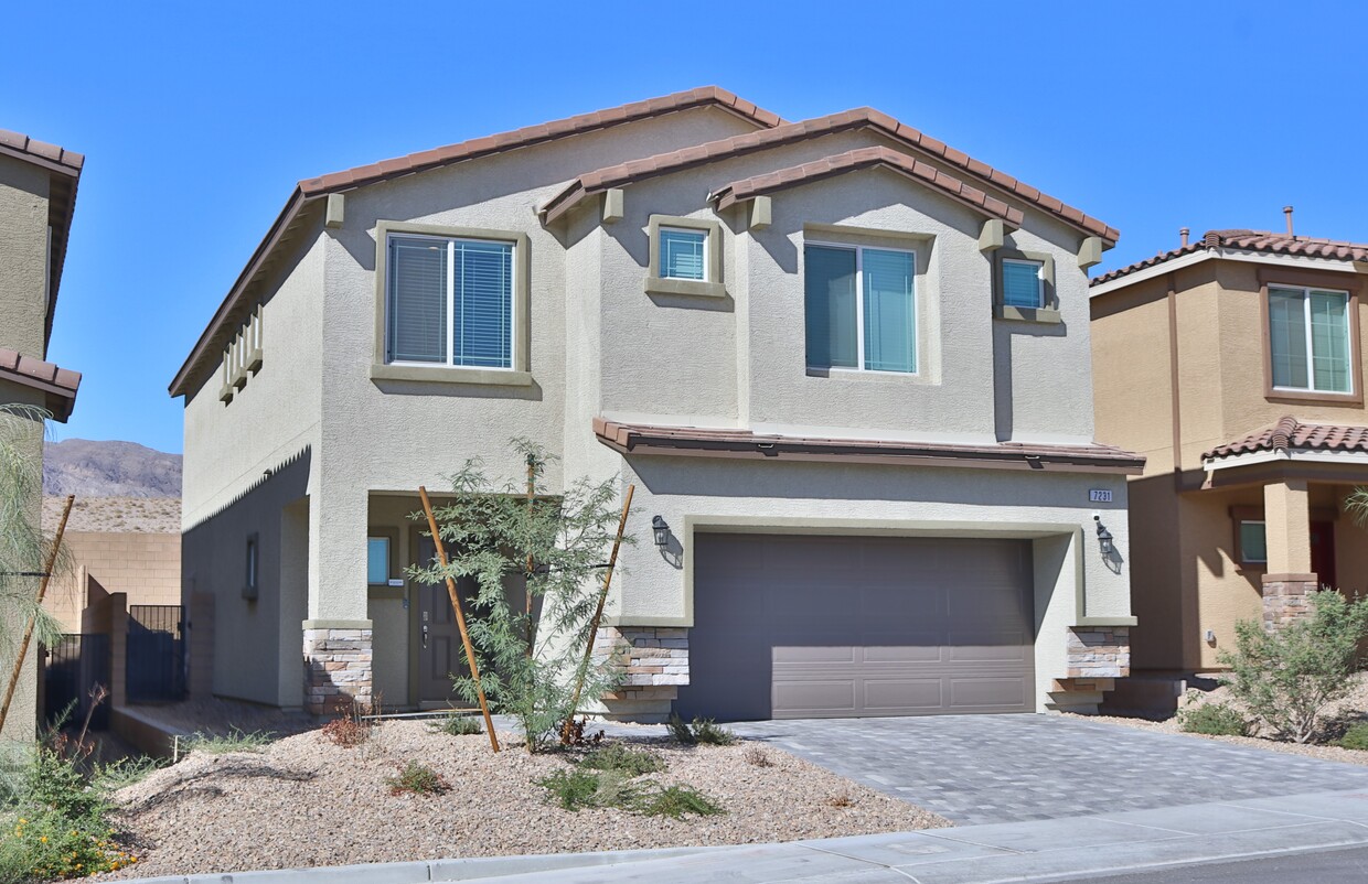
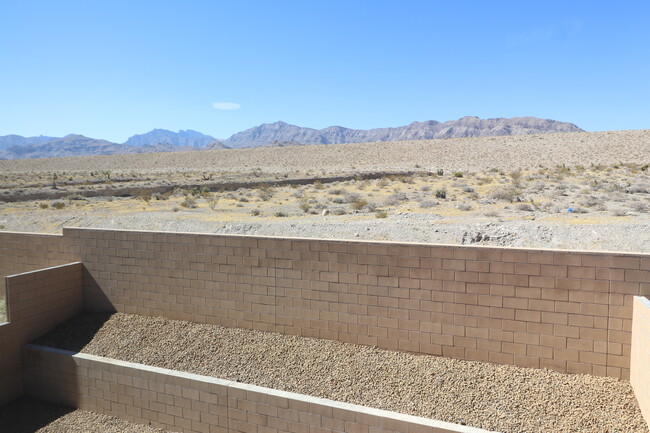
This one-year-old home is in the relatively new community of Sky Hills. Sky hills offer walking paths and child play areas. It is just west of Providence and has access to the park system there. Freeway access to the 215 is only a few minutes away as is the Albertsons shopping center at Hualapai and Deer Springs. The primary bedroom has fantastic mountain views, and the view from the loft is of the Northern Valley. You are not stuck looking at the house across the street from you. This house is available now for move in.
7231 Alabaster Peak St is a house located in Clark County and the 89166 ZIP Code. This area is served by the Clark County attendance zone.
House Features
Washer/Dryer
High Speed Internet Access
Tub/Shower
Ceiling Fans
- High Speed Internet Access
- Washer/Dryer
- Heating
- Ceiling Fans
- Cable Ready
- Security System
- Double Vanities
- Tub/Shower
- Playground
- Walking/Biking Trails
Fees and Policies
The fees below are based on community-supplied data and may exclude additional fees and utilities.
- Parking
-
Garage--
Details
Utilities Included
-
Trash Removal
-
Sewer
Property Information
-
Built in 2023
Despite its “Sin City” reputation, Las Vegas has a huge personality that goes well beyond the glimmering neon of the Strip. In fact, many of the Strip’s most famous landmarks are actually outside of the Las Vegas city limits in Paradise, Nevada. The City of Las Vegas tends to be much more subdued overall, mainly comprised of residential neighborhoods and an exceptional selection of golf courses and country clubs. The community’s bike-friendly configuration has earned national recognition, and parents are able to choose between dozens of excellent public schools in the area. Outdoor exploration is always close at hand, with Lake Mead to the east and Red Rock Canyon to the west. The local arts and culture scene incorporates the glossy entertainment of the Strip, fine arts like ballet and classical music, and a hip local creative community.
Learn more about living in Las Vegas| Colleges & Universities | Distance | ||
|---|---|---|---|
| Colleges & Universities | Distance | ||
| Drive: | 23 min | 14.3 mi | |
| Drive: | 29 min | 16.3 mi | |
| Drive: | 26 min | 17.7 mi | |
| Drive: | 36 min | 22.6 mi |
Transportation options available in Las Vegas include Sahara Station, located 19.6 miles from 7231 Alabaster Peak St. 7231 Alabaster Peak St is near Harry Reid International, located 28.0 miles or 38 minutes away.
| Transit / Subway | Distance | ||
|---|---|---|---|
| Transit / Subway | Distance | ||
|
|
Drive: | 29 min | 19.6 mi |
|
|
Drive: | 31 min | 20.0 mi |
|
|
Drive: | 30 min | 20.2 mi |
|
|
Drive: | 32 min | 20.8 mi |
|
|
Drive: | 32 min | 21.4 mi |
| Airports | Distance | ||
|---|---|---|---|
| Airports | Distance | ||
|
Harry Reid International
|
Drive: | 38 min | 28.0 mi |
Time and distance from 7231 Alabaster Peak St.
| Shopping Centers | Distance | ||
|---|---|---|---|
| Shopping Centers | Distance | ||
| Drive: | 5 min | 1.7 mi | |
| Drive: | 5 min | 1.9 mi | |
| Drive: | 10 min | 3.7 mi |
| Parks and Recreation | Distance | ||
|---|---|---|---|
| Parks and Recreation | Distance | ||
|
Floyd Lamb Park
|
Drive: | 16 min | 6.2 mi |
|
Spring Mountains National Recreation Area
|
Drive: | 14 min | 7.7 mi |
| Hospitals | Distance | ||
|---|---|---|---|
| Hospitals | Distance | ||
| Drive: | 8 min | 3.9 mi | |
| Drive: | 15 min | 9.5 mi | |
| Drive: | 18 min | 11.3 mi |
| Military Bases | Distance | ||
|---|---|---|---|
| Military Bases | Distance | ||
| Drive: | 40 min | 23.0 mi |
- High Speed Internet Access
- Washer/Dryer
- Heating
- Ceiling Fans
- Cable Ready
- Security System
- Double Vanities
- Tub/Shower
- Playground
- Walking/Biking Trails
7231 Alabaster Peak St Photos
-
Front
-
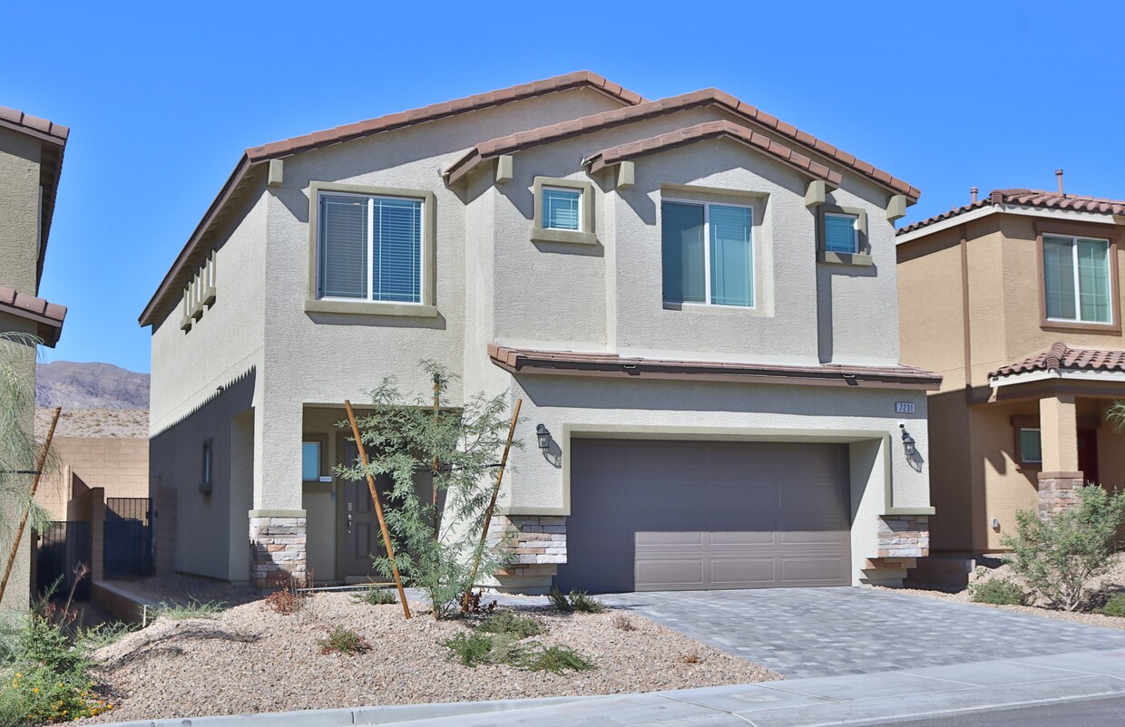
Front
-
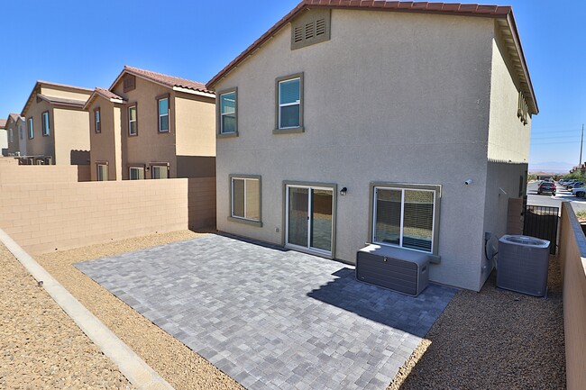
Back Yard
-
Back Yard
-
View from Primary Bedroom
-
Kitchen
-
Kitchen
-
Kitchen Living room
-
Living room (piano no longer there)
What Are Walk Score®, Transit Score®, and Bike Score® Ratings?
Walk Score® measures the walkability of any address. Transit Score® measures access to public transit. Bike Score® measures the bikeability of any address.
What is a Sound Score Rating?
A Sound Score Rating aggregates noise caused by vehicle traffic, airplane traffic and local sources


