

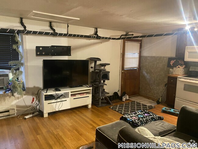
73 Broad Reach Unit M55C
Weymouth, MA 02191
Favorites
978-549-0761

-
Monthly Rent
$2,400
-
Bedrooms
1 bd
-
Bathrooms
1 ba
-
Square Feet
620 sq ft
Details
$2,400 deposit,
Available Now
* Price shown is base rent and may not include non-optional fees and utilities.
Price, availability, fees, and any applicable rent special are subject to change without notice.
* Square footage definitions vary. Displayed square footage is approximate.
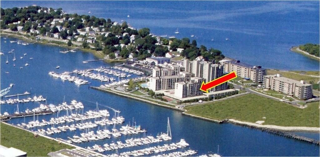
73 Broad Reach Unit M55C
Favorites
About This Property
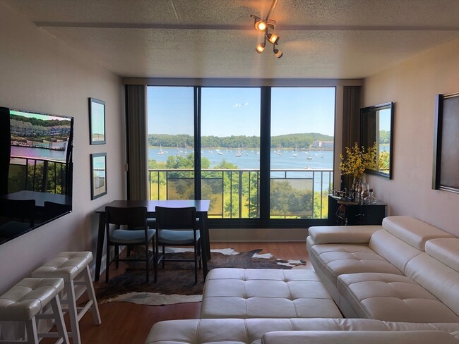
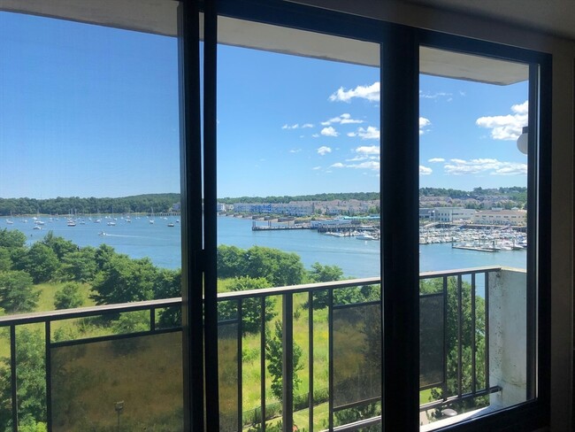
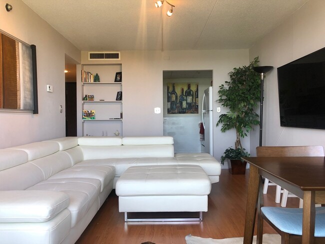
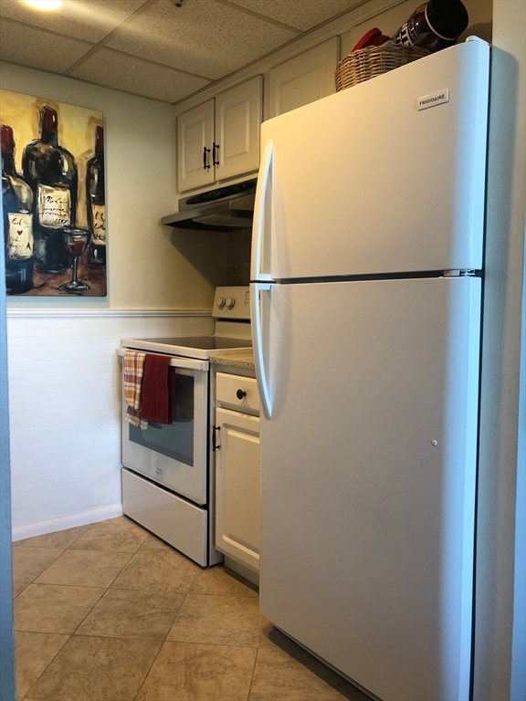
Available 1 March 2025. Bright & sunny updated 1 bed / 1 bath condo with STUNNING unobstructed harbor views from your juliet balcony & every window!!! In-unit laundry,1 garage parking space (Additional parking available for $50/month),and ALL utilities included in rent (Heat,electricity,A/C,water,snow & trash removal). Resort style living with heated outdoor pool,viking grills for summer BBQs,tennis courts,basketball courts,horse shoes and more! Minutes from Hingham Shipyard,commuter boat to Boston,train,shopping,restaurants,beach,and parks. This beautiful and rarely available unit offers an easy waterfront,resort-like lifestyle. First,last,& security due at lease signing. No smoking and no pets (per association rules).
73 Broad Reach is a condo located in Norfolk County and the 02191 ZIP Code.
Discover Homeownership
Renting vs. Buying
-
Housing Cost Per Month: $2,400
-
Rent for 30 YearsRenting doesn't build equity Future EquityRenting isn't tax deductible Mortgage Interest Tax Deduction$0 Net Return
-
Buy Over 30 Years$935K - $1.66M Future Equity$426K Mortgage Interest Tax Deduction$71K - $801K Gain Net Return
-
$2,718 / month
$349,900 Listing Price
1 Beds
•1 Baths
•
620 Sq Ft
$2,019 / month
$329,000 Listing Price
1 Beds
•1 Baths
•
790 Sq Ft
$2,038 / month
$249,000 Listing Price
1 Beds
•1 Baths
•
535 Sq Ft
Contact
Bryan Warner
from boston south realty llc
MLS Property Information Network
The property listing data and information set forth herein were provided to MLS Property Information Network, Inc. from third party sources, including sellers, lessors and public records, and were compiled by MLS Property Information Network, Inc. The property listing data and information are for the personal, non-commercial use of consumers having a good faith interest in purchasing or leasing listed properties of the type displayed to them and may not be used for any purpose other than to identify prospective properties which such consumers may have a good faith interest in purchasing or leasing. MLS Property Information Network, Inc. and its subscribers disclaim any and all representations and warranties as to the accuracy of the property listing data and information set forth herein. All properties are subject to prior sale, change or withdrawal. Copyright © 2025 MLS Property Information Network, Inc. All rights reserved.
Property Address:
73 Broad Reach,
Weymouth,
MA
02191
 This Property
 Available Property
Nestled on the coast of the Massachusetts Bay, South Shore contains many beaches, wooded green spaces, and modern conveniences.
Locals prefer to shop for fresh produce at the Weir River Farm Market, which is just a short drive from World’s End Park. This park has amazing views of the Boston skyline and miles of scenic trails.
The South Shore’s wooded areas provide residents a natural setting near historic harbor sites and Rexhame Beach. Hatherly Country Club calls this neighborhood home, and residents can commute with ease thanks to an abundance of Massachusetts Bay Transit Authority train stations. South Shore is about one hour from Boston-Logan International Airport.
Learn more about living in South Shore
Education
| Colleges & Universities | Distance | ||
|---|---|---|---|
| Colleges & Universities | Distance | ||
| Drive: | 24 min | 10.8 mi | |
| Drive: | 28 min | 12.1 mi | |
| Drive: | 27 min | 13.3 mi | |
| Drive: | 28 min | 13.7 mi |
73 Broad Reach Unit M55C is within 24 minutes or 10.8 miles from UMass Boston. It is also near Curry College and Tufts University, Boston.
Transportation options available in Weymouth include Wollaston Station, located 6.4 miles from 73 Broad Reach Unit M55C. 73 Broad Reach Unit M55C is near General Edward Lawrence Logan International, located 16.2 miles or 32 minutes away.
| Transit / Subway | Distance | ||
|---|---|---|---|
| Transit / Subway | Distance | ||
|
|
Drive: | 14 min | 6.4 mi |
|
|
Drive: | 15 min | 6.4 mi |
|
|
Drive: | 16 min | 6.9 mi |
|
|
Drive: | 17 min | 7.4 mi |
|
|
Drive: | 20 min | 9.2 mi |
| Commuter Rail | Distance | ||
|---|---|---|---|
| Commuter Rail | Distance | ||
|
|
Drive: | 10 min | 4.0 mi |
| Drive: | 10 min | 4.4 mi | |
|
|
Drive: | 11 min | 4.7 mi |
|
|
Drive: | 12 min | 5.2 mi |
|
|
Drive: | 12 min | 5.8 mi |
| Airports | Distance | ||
|---|---|---|---|
| Airports | Distance | ||
|
General Edward Lawrence Logan International
|
Drive: | 32 min | 16.2 mi |
Time and distance from 73 Broad Reach Unit M55C.
| Shopping Centers | Distance | ||
|---|---|---|---|
| Shopping Centers | Distance | ||
| Drive: | 6 min | 1.9 mi | |
| Drive: | 6 min | 2.5 mi | |
| Drive: | 7 min | 2.8 mi |
73 Broad Reach Unit M55C has 3 shopping centers within 2.8 miles, which is about a 7-minute drive. The miles and minutes will be for the farthest away property.
| Parks and Recreation | Distance | ||
|---|---|---|---|
| Parks and Recreation | Distance | ||
|
Webb Memorial State Park
|
Walk: | 7 min | 0.4 mi |
|
Adams National Historical Park
|
Drive: | 13 min | 5.7 mi |
|
Weir River Farm
|
Drive: | 16 min | 6.7 mi |
|
Fort Revere
|
Drive: | 23 min | 11.7 mi |
|
Boston Harbor Islands State Park
|
Drive: | 50 min | 22.8 mi |
73 Broad Reach Unit M55C has 5 parks within 22.8 miles, including Webb Memorial State Park, Adams National Historical Park, and Weir River Farm.
| Hospitals | Distance | ||
|---|---|---|---|
| Hospitals | Distance | ||
| Drive: | 14 min | 7.2 mi | |
| Drive: | 21 min | 9.5 mi | |
| Drive: | 20 min | 9.6 mi |
73 Broad Reach Unit M55C has 3 hospitals within 9.6 miles, the nearest is South Shore Hospital which is 7.2 miles away and a 14 minutes drive.
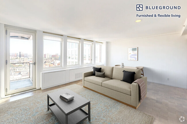
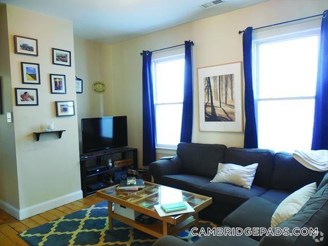
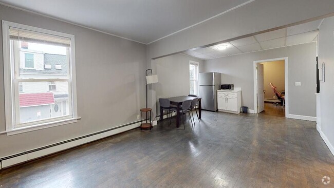
You May Also Like
Similar Rentals Nearby


What Are Walk Score®, Transit Score®, and Bike Score® Ratings?
Walk Score® measures the walkability of any address. Transit Score® measures access to public transit. Bike Score® measures the bikeability of any address.
What is a Sound Score Rating?
A Sound Score Rating aggregates noise caused by vehicle traffic, airplane traffic and local sources
73 Broad Reach
Weymouth, MA 02191