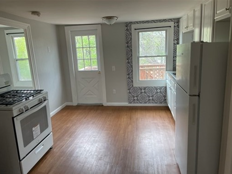
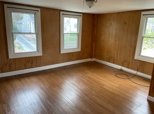
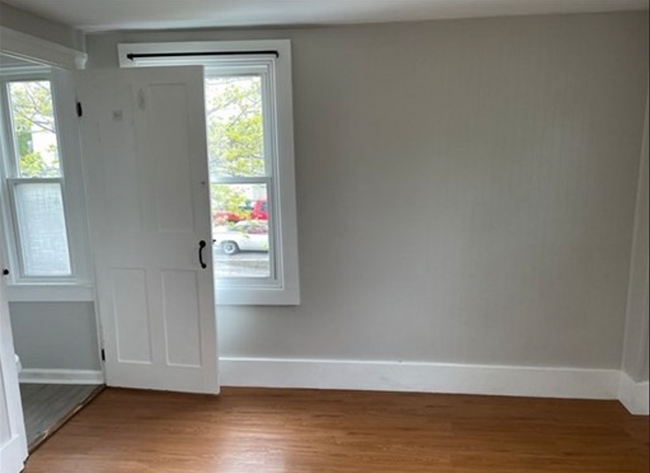
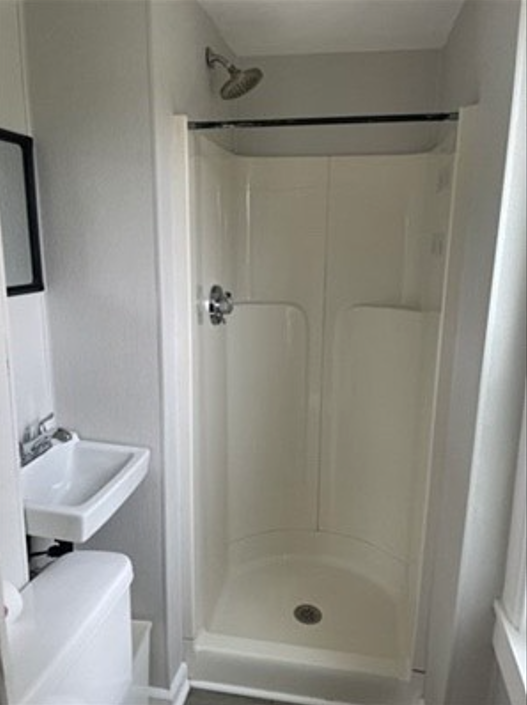
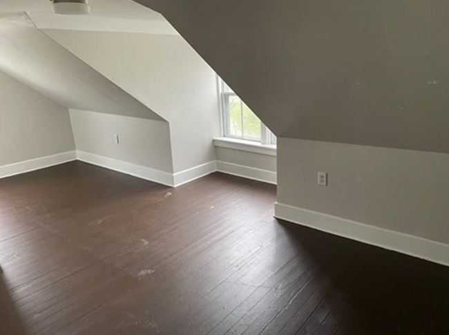
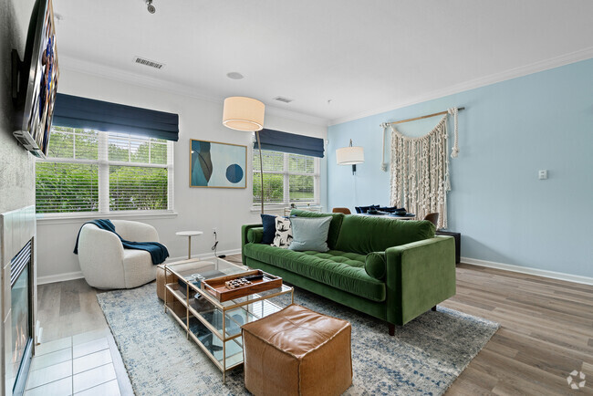
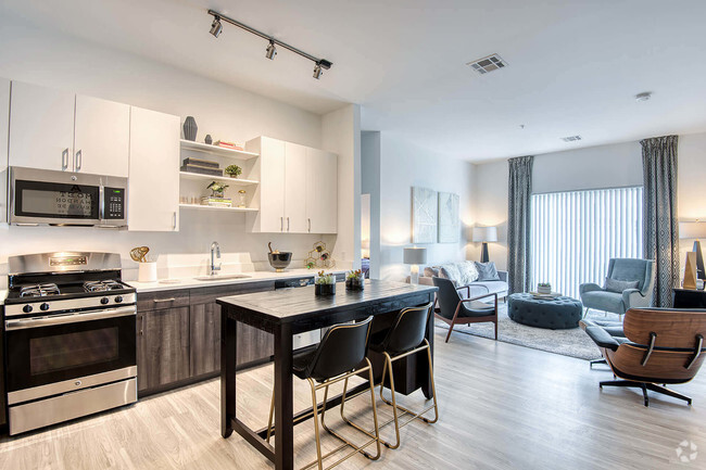
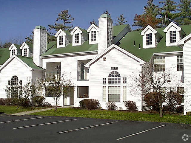
73 Fletcher St Unit 73
Whitinsville, MA 01588
Favorites

73 Fletcher St Unit 73
Favorites
Check Back Soon for Upcoming Availability
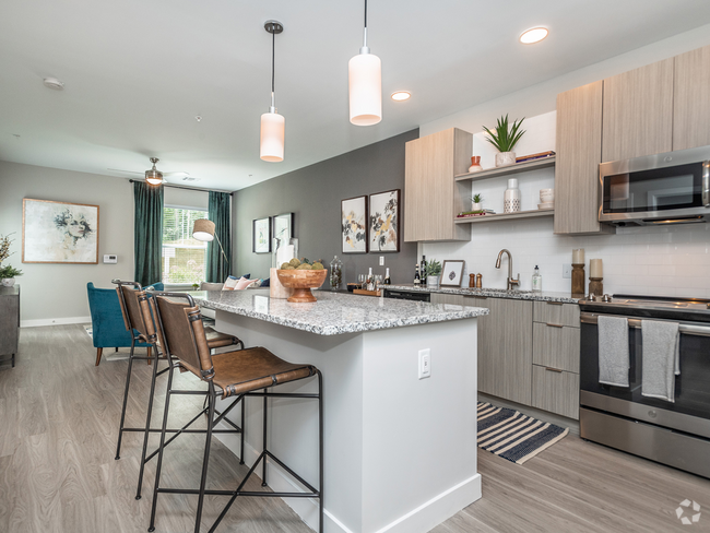
| Beds | Baths | Average SF |
|---|---|---|
| 2 Bedrooms 2 Bedrooms 2 Br | 1 Bath 1 Bath 1 Ba | 1,000 SF |
Fees and Policies
The fees below are based on community-supplied data and may exclude additional fees and utilities.
- Dogs Allowed
-
Fees not specified
-
Weight limit--
-
Pet Limit--
- Parking
-
Surface Lot--
Details
Utilities Included
-
Electricity
-
Sewer
Property Information
-
4 units
Property Address:
73 Fletcher St,
Whitinsville,
MA
01588
 This Property
 Available Property
Covered in lush forests and ponds, Whitinsville is a historic village within the town of Northbridge in Worcester County. Located just 14 miles southeast of Worcester, Whitinsville maintains a small-town atmosphere. Whitinsville’s quaint downtown area stretches along Church Street with a bevy of local shops, restaurants, and salons.
Whitinsville’s rich history is evident in the Whitinsville Historic District, where residents and visitors can take walking tours to see what life was like in an Industrial Revolution company town. Whitinsville is home to West End Creamery, a farm that offers guests access to locally made ice cream, an 18-hole mini golf course, Barnyard Jump, and a corn maze.
Attractions like Purgatory Chasm State Reservation and Southwick’s Zoo are also just minutes from Whitinsville. Larger cities such as Worcester, Providence, and Boston are all within an hour’s drive of Whitinsville.
Learn more about living in Whitinsville
Expenses
Utilities Included
Electricity, Sewer
Included
Education
| Colleges & Universities | Distance | ||
|---|---|---|---|
| Colleges & Universities | Distance | ||
| Drive: | 27 min | 12.0 mi | |
| Drive: | 21 min | 13.2 mi | |
| Drive: | 22 min | 14.4 mi | |
| Drive: | 24 min | 16.1 mi |
73 Fletcher St Unit 73 is within 27 minutes or 12.0 miles from Tufts University, Grafton. It is also near College of the Holy Cross and Clark University.
Transportation options available in Whitinsville include Riverside Station, located 33.6 miles from 73 Fletcher St Unit 73. 73 Fletcher St Unit 73 is near Worcester Regional, located 19.1 miles or 31 minutes away, and Rhode Island Tf Green International, located 35.9 miles or 50 minutes away.
| Transit / Subway | Distance | ||
|---|---|---|---|
| Transit / Subway | Distance | ||
|
|
Drive: | 50 min | 33.6 mi |
|
|
Drive: | 50 min | 33.9 mi |
|
|
Drive: | 51 min | 34.6 mi |
|
|
Drive: | 54 min | 36.2 mi |
|
|
Drive: | 54 min | 36.4 mi |
| Commuter Rail | Distance | ||
|---|---|---|---|
| Commuter Rail | Distance | ||
|
|
Drive: | 26 min | 11.7 mi |
|
|
Drive: | 28 min | 14.1 mi |
|
|
Drive: | 21 min | 14.3 mi |
|
|
Drive: | 21 min | 14.5 mi |
|
|
Drive: | 31 min | 15.2 mi |
| Airports | Distance | ||
|---|---|---|---|
| Airports | Distance | ||
|
Worcester Regional
|
Drive: | 31 min | 19.1 mi |
|
Rhode Island Tf Green International
|
Drive: | 50 min | 35.9 mi |
Time and distance from 73 Fletcher St Unit 73.
| Shopping Centers | Distance | ||
|---|---|---|---|
| Shopping Centers | Distance | ||
| Walk: | 12 min | 0.6 mi | |
| Drive: | 3 min | 1.7 mi | |
| Drive: | 4 min | 1.8 mi |
73 Fletcher St Unit 73 has 3 shopping centers within 1.8 miles, which is about a 4-minute drive. The miles and minutes will be for the farthest away property.
| Parks and Recreation | Distance | ||
|---|---|---|---|
| Parks and Recreation | Distance | ||
|
Blackstone River and Canal Heritage State Park
|
Drive: | 7 min | 3.1 mi |
|
Purgatory Chasm State Reservation
|
Drive: | 8 min | 3.8 mi |
|
Douglas State Forest
|
Drive: | 15 min | 7.5 mi |
|
Upton State Forest
|
Drive: | 14 min | 7.6 mi |
|
Whitehall State Park
|
Drive: | 25 min | 11.0 mi |
73 Fletcher St Unit 73 has 5 parks within 11.0 miles, including Blackstone River and Canal Heritage State Park, Purgatory Chasm State Reservation, and Douglas State Forest.
| Hospitals | Distance | ||
|---|---|---|---|
| Hospitals | Distance | ||
| Drive: | 17 min | 9.1 mi |
73 Fletcher St Unit 73 is 9.1 miles and a 17 minutes drive from Milford Regional Medical Center.
| Military Bases | Distance | ||
|---|---|---|---|
| Military Bases | Distance | ||
| Drive: | 43 min | 22.7 mi |
73 Fletcher St Unit 73 is 22.7 miles and a 43 minutes from US Military Reservation.
You May Also Like
Similar Rentals Nearby

What Are Walk Score®, Transit Score®, and Bike Score® Ratings?
Walk Score® measures the walkability of any address. Transit Score® measures access to public transit. Bike Score® measures the bikeability of any address.
What is a Sound Score Rating?
A Sound Score Rating aggregates noise caused by vehicle traffic, airplane traffic and local sources

73 Fletcher St
Whitinsville, MA 01588