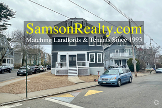
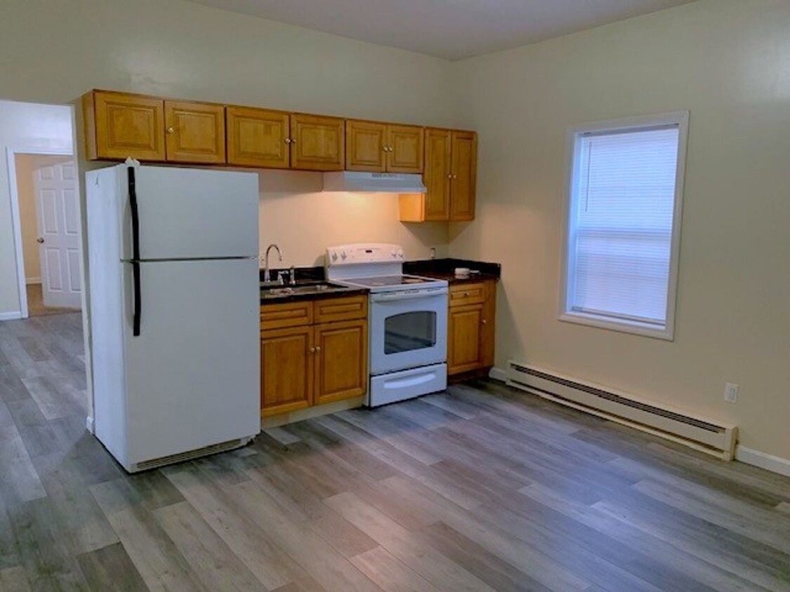
74 Bridgham St Unit 2
Providence, RI 02907
-
Bedrooms
4
-
Bathrooms
2
-
Square Feet
1,200 sq ft
-
Available
Available Now

Contact
- Listed by Real | Real Property Management Providence
- Phone Number
- Contact
Also referred to as the Armory District or simply the West End, West End Providence is the largest neighborhood in the city. This diverse, historic neighborhood is home to the Cranston Street Armory, a landmark listed as its own National Historic District. The armory was built in 1907 and is often used as a filming location by movie studios. The West End underwent revitalization during recent years and continues to offer amazing amenities. The West End is known for its authentic eateries, quirky shops, a vibrant youth arts scene, and strong sense of community. Despite being the largest neighborhood in the city, the West End feels close-knit with community organizations like the West Broadway Neighborhood Association bringing together family and friends to preserve the cultural richness of the area. Fittingly, the West End has a wide range of rentals available ranging from highly affordable to upscale.
Learn more about living in West End Providence| Colleges & Universities | Distance | ||
|---|---|---|---|
| Colleges & Universities | Distance | ||
| Walk: | 18 min | 0.9 mi | |
| Walk: | 19 min | 1.0 mi | |
| Drive: | 2 min | 1.3 mi | |
| Drive: | 3 min | 1.6 mi |
Transportation options available in Providence include Braintree Station, located 42.0 miles from 74 Bridgham St Unit 2. 74 Bridgham St Unit 2 is near Rhode Island Tf Green International, located 7.6 miles or 18 minutes away.
| Transit / Subway | Distance | ||
|---|---|---|---|
| Transit / Subway | Distance | ||
|
|
Drive: | 57 min | 42.0 mi |
| Commuter Rail | Distance | ||
|---|---|---|---|
| Commuter Rail | Distance | ||
|
|
Drive: | 4 min | 1.7 mi |
| Drive: | 9 min | 5.7 mi | |
| Drive: | 14 min | 8.1 mi | |
|
|
Drive: | 14 min | 8.6 mi |
|
|
Drive: | 20 min | 13.4 mi |
| Airports | Distance | ||
|---|---|---|---|
| Airports | Distance | ||
|
Rhode Island Tf Green International
|
Drive: | 18 min | 7.6 mi |
Time and distance from 74 Bridgham St Unit 2.
| Shopping Centers | Distance | ||
|---|---|---|---|
| Shopping Centers | Distance | ||
| Walk: | 8 min | 0.4 mi | |
| Drive: | 3 min | 1.2 mi | |
| Drive: | 4 min | 1.4 mi |
| Parks and Recreation | Distance | ||
|---|---|---|---|
| Parks and Recreation | Distance | ||
|
Providence Children's Museum
|
Drive: | 2 min | 1.2 mi |
|
Woonasquatucket River Greenway - Riverside Park
|
Drive: | 4 min | 1.4 mi |
|
Roger Williams National Memorial
|
Drive: | 4 min | 1.8 mi |
|
Roger Williams Park Zoo
|
Drive: | 7 min | 2.3 mi |
|
Museum of Natural History and Planetarium
|
Drive: | 8 min | 2.4 mi |
| Hospitals | Distance | ||
|---|---|---|---|
| Hospitals | Distance | ||
| Walk: | 17 min | 0.9 mi | |
| Drive: | 3 min | 1.4 mi | |
| Drive: | 5 min | 2.0 mi |
| Military Bases | Distance | ||
|---|---|---|---|
| Military Bases | Distance | ||
| Drive: | 33 min | 21.1 mi | |
| Drive: | 65 min | 43.2 mi |
You May Also Like
Similar Rentals Nearby
What Are Walk Score®, Transit Score®, and Bike Score® Ratings?
Walk Score® measures the walkability of any address. Transit Score® measures access to public transit. Bike Score® measures the bikeability of any address.
What is a Sound Score Rating?
A Sound Score Rating aggregates noise caused by vehicle traffic, airplane traffic and local sources
