-
Monthly Rent
$2,600
-
Bedrooms
1 bd
-
Bathrooms
1 ba
-
Square Feet
700 sq ft
Details

About This Property
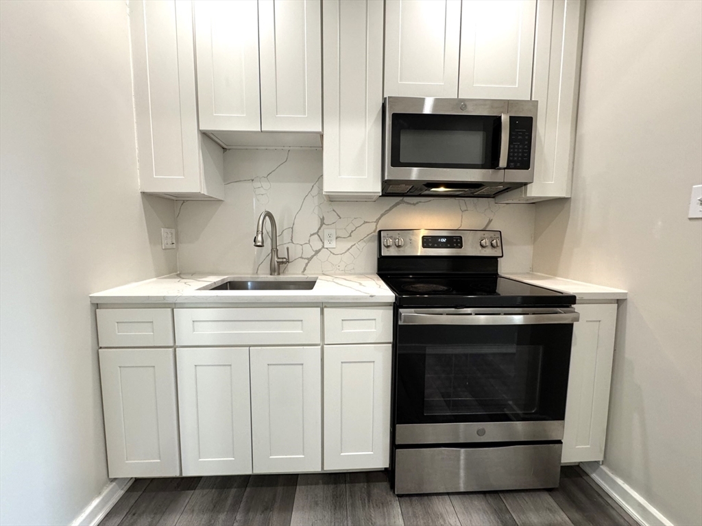
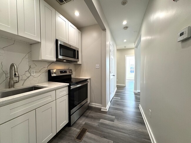
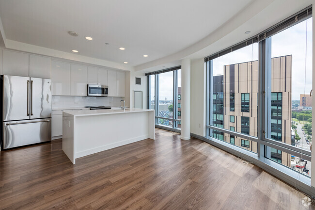
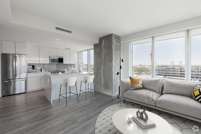
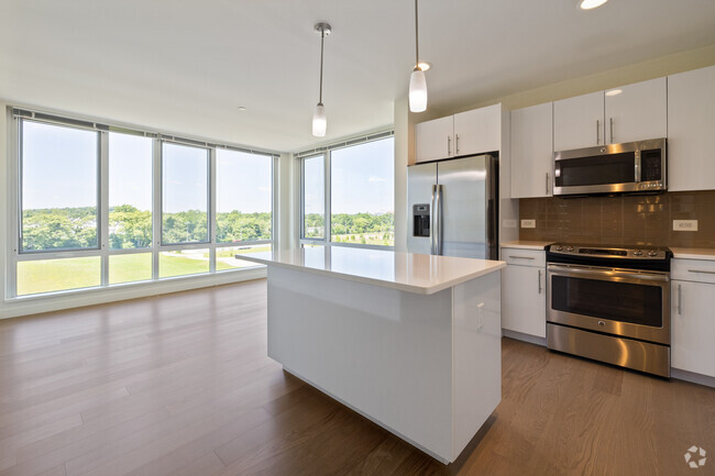
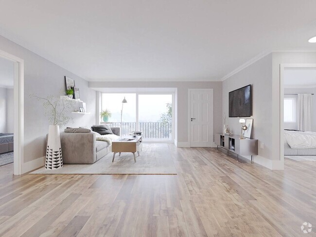
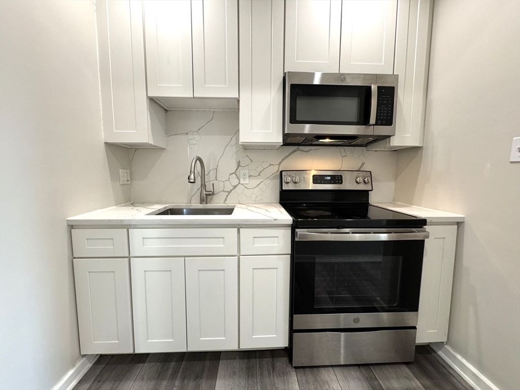
Beautiful renovated one bedroom plus with stainless steel appliances,ct bath,high ceilings,vinyl plank flooring throughout,parking for one car. Close distance to Market Basket,Restaurants,Mary O'Malley State Park,Tobin Bridge Rt 1 and Logan Airport.
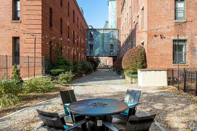
75 Williams St is an apartment community located in Suffolk County and the 02150 ZIP Code.
Contact
Features
- Microwave
- Range
- Refrigerator
Fees and Policies
The fees below are based on community-supplied data and may exclude additional fees and utilities.
Pet policies are negotiable.
 This Property
 Available Property
- Microwave
- Range
- Refrigerator
The Broadway neighborhood of Boston, Massachusetts lies nestled between the Chelsea River and Route 1, about four miles north of Downtown Boston. The neighborhood’s urban atmosphere provides locals with the sense of a smaller city right outside of Boston. The townhomes, residential properties, commercial properties, rentals and apartment complexes combine to make the neighborhood a diverse area, full of professionals and small families.
The neighborhood, which lies within the suburb of Chelsea, draws its appeal from its convenient location, modern amenities, and beautiful landscapes. Because the Broadway neighborhood sits right on the edge of the Chelsea River, waterfront properties, water-related activities, and gorgeous views form the core of the Broadway neighborhood.
Learn more about living in Broadway| Colleges & Universities | Distance | ||
|---|---|---|---|
| Colleges & Universities | Distance | ||
| Drive: | 7 min | 3.8 mi | |
| Drive: | 8 min | 4.4 mi | |
| Drive: | 8 min | 5.0 mi | |
| Drive: | 9 min | 5.3 mi |
Transportation options available in Chelsea include Maverick Station, located 1.7 miles from 75 Williams St Unit 2R. 75 Williams St Unit 2R is near General Edward Lawrence Logan International, located 3.1 miles or 8 minutes away.
| Transit / Subway | Distance | ||
|---|---|---|---|
| Transit / Subway | Distance | ||
|
|
Drive: | 4 min | 1.7 mi |
|
|
Drive: | 5 min | 1.9 mi |
|
|
Drive: | 8 min | 3.4 mi |
|
|
Drive: | 8 min | 3.7 mi |
| Drive: | 7 min | 4.3 mi |
| Commuter Rail | Distance | ||
|---|---|---|---|
| Commuter Rail | Distance | ||
| Walk: | 14 min | 0.8 mi | |
|
|
Drive: | 6 min | 3.1 mi |
|
|
Drive: | 8 min | 3.8 mi |
|
|
Drive: | 7 min | 4.6 mi |
|
|
Drive: | 12 min | 5.1 mi |
| Airports | Distance | ||
|---|---|---|---|
| Airports | Distance | ||
|
General Edward Lawrence Logan International
|
Drive: | 8 min | 3.1 mi |
Time and distance from 75 Williams St Unit 2R.
| Shopping Centers | Distance | ||
|---|---|---|---|
| Shopping Centers | Distance | ||
| Walk: | 11 min | 0.6 mi | |
| Drive: | 4 min | 1.3 mi | |
| Drive: | 3 min | 1.4 mi |
| Parks and Recreation | Distance | ||
|---|---|---|---|
| Parks and Recreation | Distance | ||
|
Museum of Science
|
Drive: | 8 min | 3.3 mi |
|
New England Aquarium
|
Drive: | 7 min | 4.2 mi |
|
Boston National Historical Park
|
Drive: | 7 min | 4.2 mi |
|
Boston Harbor Islands National Recreation Area
|
Drive: | 7 min | 4.3 mi |
|
Boston African American National Historic Site
|
Drive: | 9 min | 4.6 mi |
| Hospitals | Distance | ||
|---|---|---|---|
| Hospitals | Distance | ||
| Drive: | 8 min | 3.7 mi | |
| Drive: | 8 min | 4.1 mi | |
| Drive: | 9 min | 5.1 mi |
| Military Bases | Distance | ||
|---|---|---|---|
| Military Bases | Distance | ||
| Drive: | 26 min | 15.0 mi | |
| Drive: | 30 min | 15.8 mi |
You May Also Like
Similar Rentals Nearby
What Are Walk Score®, Transit Score®, and Bike Score® Ratings?
Walk Score® measures the walkability of any address. Transit Score® measures access to public transit. Bike Score® measures the bikeability of any address.
What is a Sound Score Rating?
A Sound Score Rating aggregates noise caused by vehicle traffic, airplane traffic and local sources
