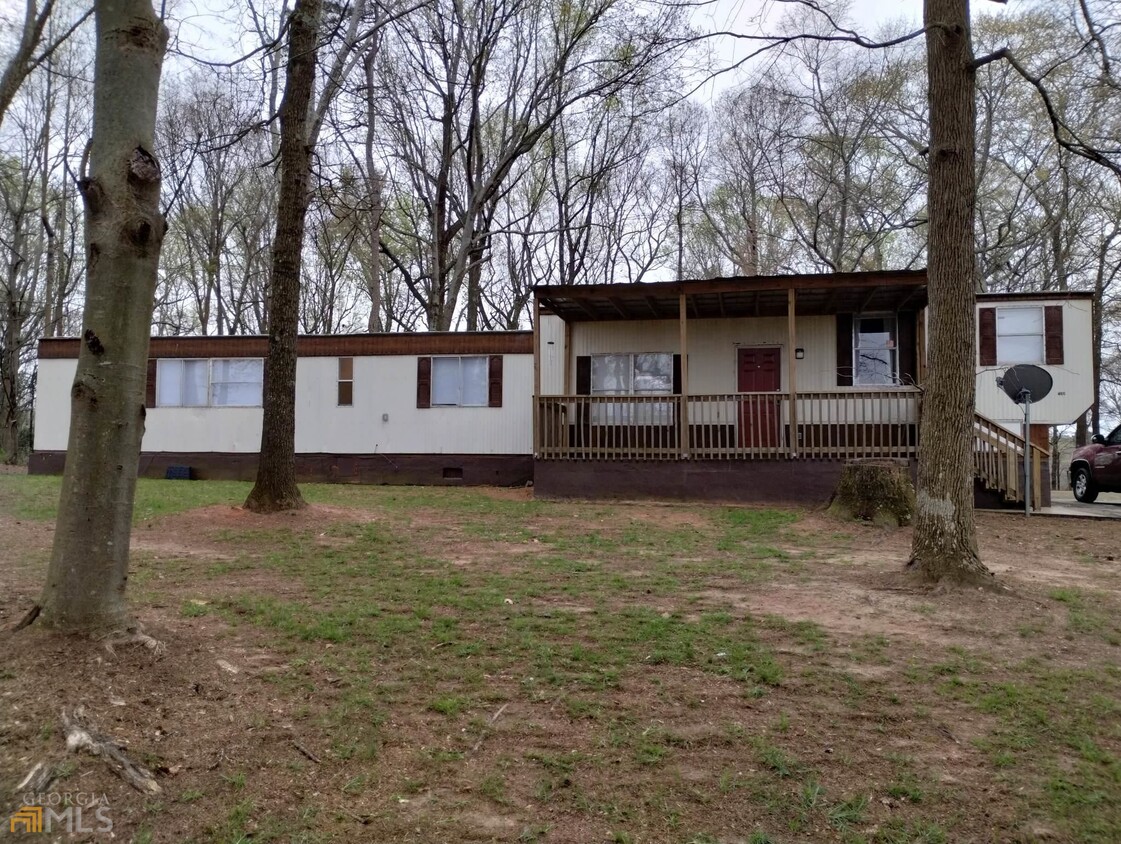
788 GA Hwy 211
Winder, GA 30680

Check Back Soon for Upcoming Availability
| Beds | Baths | Average SF |
|---|---|---|
| 2 Bedrooms 2 Bedrooms 2 Br | 2 Baths 2 Baths 2 Ba | — |
About This Property
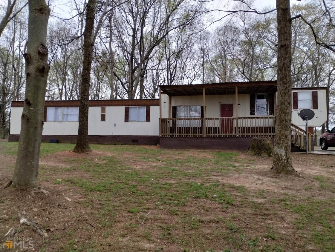
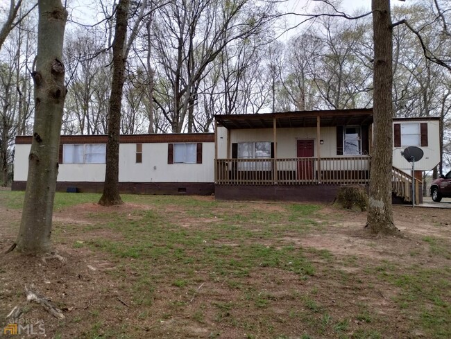
Older mobile home on a wooded lot. Beautiful inside with vinyl plank flooring, new paint, new tubs, covered porch. Private! Rent includes garbage pickup and lawn care.
788 GA Hwy 211 is a house located in Barrow County and the 30680 ZIP Code. This area is served by the Barrow County attendance zone.
House Features
- Dishwasher
- Range
- Breakfast Nook
Fees and Policies
Winder is a small city in north central Georgia, located about 25 miles west of Athens and fifty miles east of Atlanta. The city features a thriving commercial district at the center of town, with cozy cafes, specialty shops, and other locally owned businesses operating out of the countless historic buildings in the area. Fort Yargo State Park occupies a large chunk of the city’s south side, with its trails and lake serving as popular destinations for locals when the weather is nice.
Learn more about living in Winder- Dishwasher
- Range
- Breakfast Nook
| Colleges & Universities | Distance | ||
|---|---|---|---|
| Colleges & Universities | Distance | ||
| Drive: | 28 min | 15.8 mi | |
| Drive: | 26 min | 16.8 mi | |
| Drive: | 32 min | 19.6 mi | |
| Drive: | 36 min | 23.5 mi |
Transportation options available in Winder include Doraville, located 38.3 miles from 788 GA Hwy 211.
| Transit / Subway | Distance | ||
|---|---|---|---|
| Transit / Subway | Distance | ||
|
|
Drive: | 47 min | 38.3 mi |
|
|
Drive: | 48 min | 40.1 mi |
|
|
Drive: | 50 min | 42.4 mi |
|
|
Drive: | 55 min | 45.6 mi |
|
|
Drive: | 58 min | 48.2 mi |
| Commuter Rail | Distance | ||
|---|---|---|---|
| Commuter Rail | Distance | ||
|
|
Drive: | 33 min | 21.6 mi |
Time and distance from 788 GA Hwy 211.
| Shopping Centers | Distance | ||
|---|---|---|---|
| Shopping Centers | Distance | ||
| Drive: | 6 min | 3.2 mi | |
| Drive: | 7 min | 3.3 mi | |
| Drive: | 5 min | 3.4 mi |
| Parks and Recreation | Distance | ||
|---|---|---|---|
| Parks and Recreation | Distance | ||
|
Fort Yargo State Park
|
Drive: | 12 min | 6.0 mi |
|
Little Mulberry Park
|
Drive: | 15 min | 7.8 mi |
|
Dacula Park
|
Drive: | 16 min | 9.0 mi |
|
Duncan Creek Park
|
Drive: | 16 min | 9.3 mi |
|
Harbins Park
|
Drive: | 22 min | 12.4 mi |
| Hospitals | Distance | ||
|---|---|---|---|
| Hospitals | Distance | ||
| Drive: | 8 min | 5.4 mi |
| Military Bases | Distance | ||
|---|---|---|---|
| Military Bases | Distance | ||
| Drive: | 75 min | 60.8 mi |
You May Also Like
Similar Rentals Nearby
What Are Walk Score®, Transit Score®, and Bike Score® Ratings?
Walk Score® measures the walkability of any address. Transit Score® measures access to public transit. Bike Score® measures the bikeability of any address.
What is a Sound Score Rating?
A Sound Score Rating aggregates noise caused by vehicle traffic, airplane traffic and local sources
