
Check Back Soon for Upcoming Availability
| Beds | Baths | Average SF |
|---|---|---|
| 2 Bedrooms 2 Bedrooms 2 Br | 1 Bath 1 Bath 1 Ba | — |
About This Property
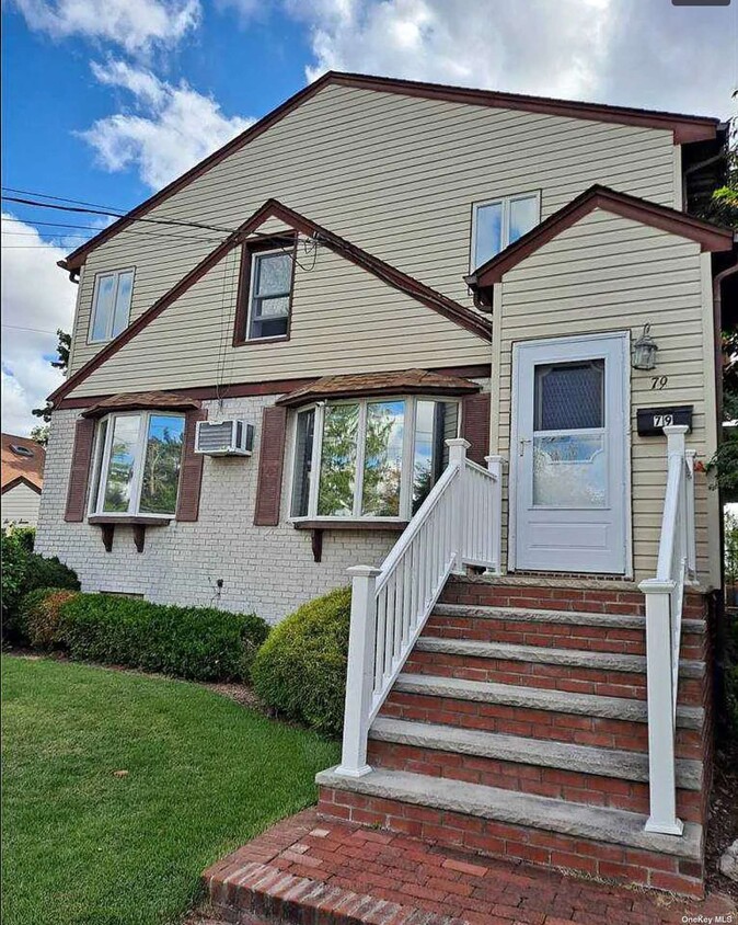
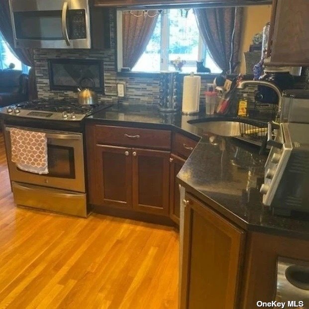
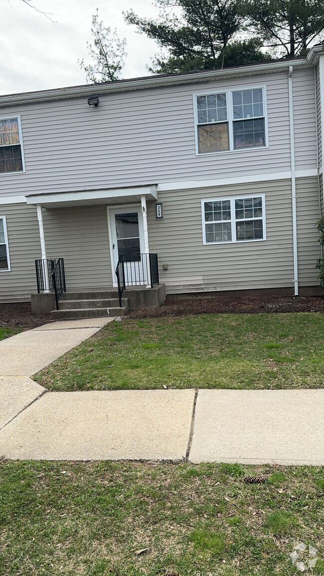
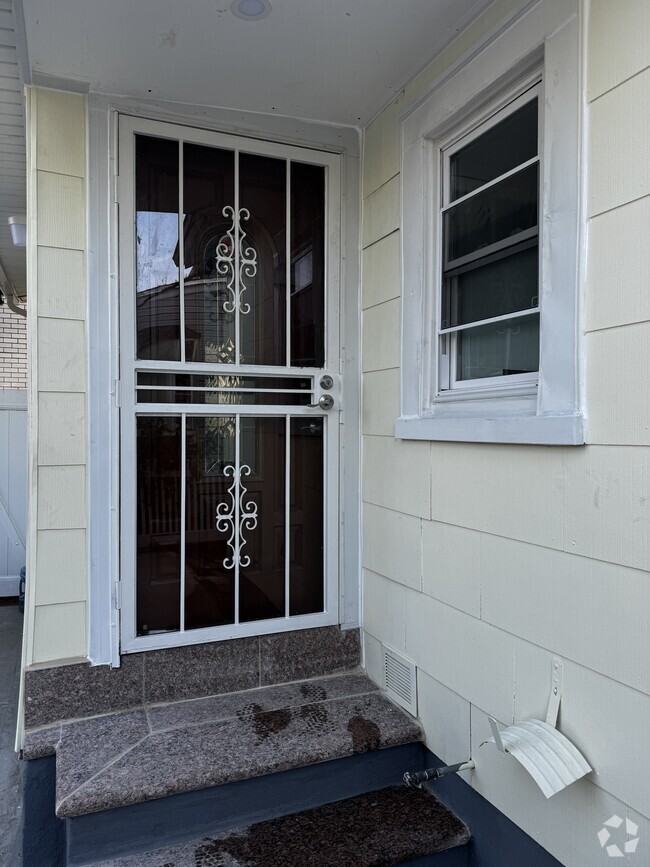
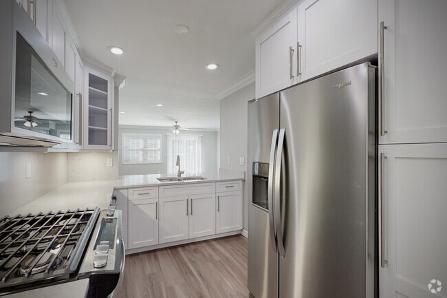
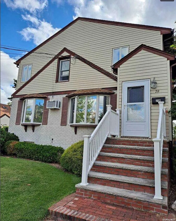
Beautiful 2 Br Apartment With Backyard! Updated Granite Kit/Stainless Steel Appliances, Driveway Parking & Commercial Washer/Dryer On Premises. Pets Allowed Additional $45 Mo.
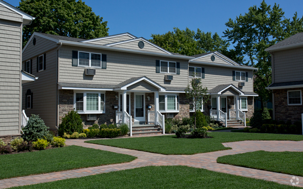
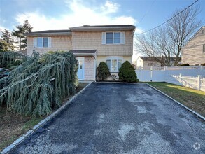
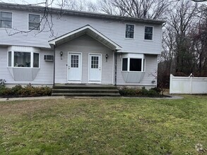
79 Carmans Rd is a townhome located in Nassau County and the 11735 ZIP Code. This area is served by the Farmingdale Union Free attendance zone.
 This Property
 Available Property
Farmingdale is a village within the town of Oyster Bay, combining suburban tranquility and urban vibrancy into a one-of-a-kind, one-square-mile package. Farmingdale’s picturesque residential streets are lush with trees and handsome homes that contribute to its overall peaceful atmosphere. Numerous apartments, townhomes, and houses are available for rent in Farmingdale, with many rentals situated within walking distance of the village’s famous downtown area.
Farmingdale’s popular downtown area has been voted the best downtown in Long Island for multiple years. A slew of charming, historic buildings contain an array of diverse restaurants, specialty shops, antique stores, bars, and locally owned businesses along a compact Main Street.
The sprawling Bethpage State Park neighbors Farmingdale to the north, providing residents with ample space for a wide variety of outdoor activities. Area attractions like Adventureland and Airport Plaza are also just a short drive away.
Learn more about living in FarmingdaleBelow are rent ranges for similar nearby apartments
| Colleges & Universities | Distance | ||
|---|---|---|---|
| Colleges & Universities | Distance | ||
| Drive: | 10 min | 3.8 mi | |
| Drive: | 23 min | 11.8 mi | |
| Drive: | 16 min | 12.1 mi | |
| Drive: | 19 min | 13.3 mi |
Transportation options available in Farmingdale include Jamaica-179 Street, located 21.7 miles from 79 Carmans Rd. 79 Carmans Rd is near Long Island MacArthur, located 22.8 miles or 32 minutes away, and John F Kennedy International, located 23.9 miles or 34 minutes away.
| Transit / Subway | Distance | ||
|---|---|---|---|
| Transit / Subway | Distance | ||
|
|
Drive: | 33 min | 21.7 mi |
|
|
Drive: | 34 min | 22.1 mi |
|
|
Drive: | 32 min | 22.5 mi |
|
|
Drive: | 34 min | 23.9 mi |
|
|
Drive: | 35 min | 24.0 mi |
| Commuter Rail | Distance | ||
|---|---|---|---|
| Commuter Rail | Distance | ||
|
|
Drive: | 5 min | 2.3 mi |
|
|
Drive: | 5 min | 3.0 mi |
|
|
Drive: | 6 min | 3.6 mi |
|
|
Drive: | 7 min | 3.8 mi |
|
|
Drive: | 6 min | 4.4 mi |
| Airports | Distance | ||
|---|---|---|---|
| Airports | Distance | ||
|
Long Island MacArthur
|
Drive: | 32 min | 22.8 mi |
|
John F Kennedy International
|
Drive: | 34 min | 23.9 mi |
Time and distance from 79 Carmans Rd.
| Shopping Centers | Distance | ||
|---|---|---|---|
| Shopping Centers | Distance | ||
| Walk: | 9 min | 0.5 mi | |
| Walk: | 15 min | 0.8 mi | |
| Drive: | 2 min | 1.4 mi |
| Parks and Recreation | Distance | ||
|---|---|---|---|
| Parks and Recreation | Distance | ||
|
Bethpage State Park
|
Drive: | 5 min | 2.7 mi |
|
Tackapausha Museum & Preserve
|
Drive: | 9 min | 6.4 mi |
|
West Hills County Park
|
Drive: | 13 min | 7.3 mi |
|
Belmont Lake State Park
|
Drive: | 11 min | 7.5 mi |
|
Trail View State Park
|
Drive: | 15 min | 9.4 mi |
| Hospitals | Distance | ||
|---|---|---|---|
| Hospitals | Distance | ||
| Drive: | 6 min | 3.3 mi | |
| Drive: | 10 min | 5.8 mi | |
| Drive: | 12 min | 8.4 mi |
| Military Bases | Distance | ||
|---|---|---|---|
| Military Bases | Distance | ||
| Drive: | 45 min | 23.4 mi | |
| Drive: | 37 min | 26.5 mi | |
| Drive: | 55 min | 34.1 mi |
You May Also Like
Similar Rentals Nearby
-
$4,7503 Beds, 2.5 Baths, 1,100 sq ftTownhome for Rent
-
$3,4003 Beds, 1 Bath, 900 sq ftTownhome for Rent
-
-
-
-
-
-
-
$3,7003 Beds, 1.5 Baths, 2,800 sq ftTownhome for Rent
-
$4,0003 Beds, 1.5 Baths, 2,100 sq ftTownhome for Rent
What Are Walk Score®, Transit Score®, and Bike Score® Ratings?
Walk Score® measures the walkability of any address. Transit Score® measures access to public transit. Bike Score® measures the bikeability of any address.
What is a Sound Score Rating?
A Sound Score Rating aggregates noise caused by vehicle traffic, airplane traffic and local sources
