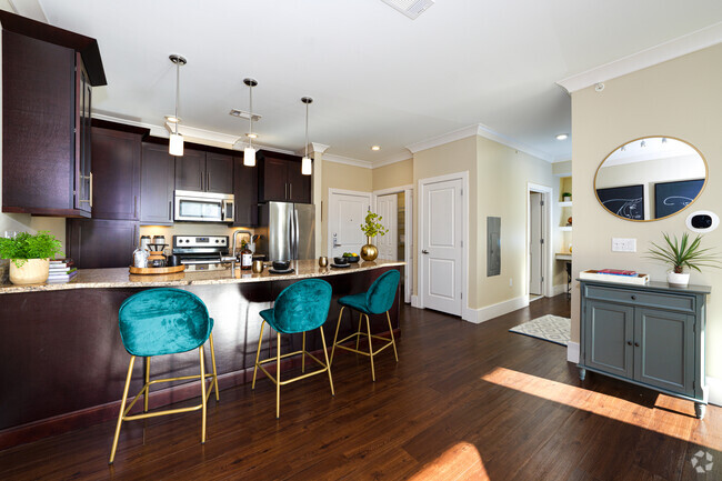
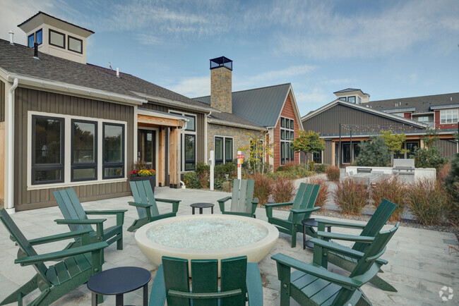
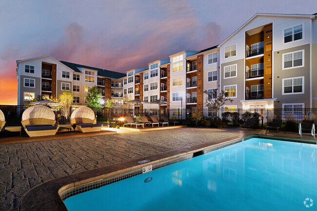
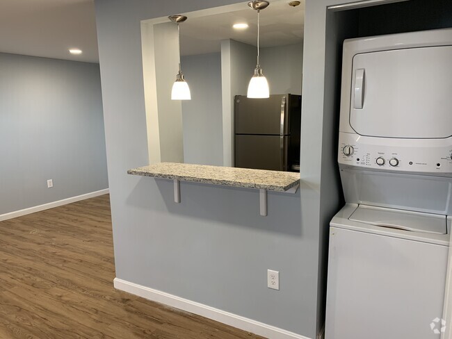
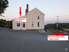
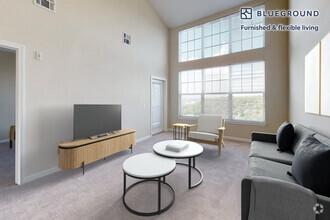
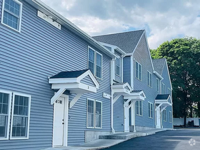
Apartments for Rent in Marlborough MA - 550 Rentals
Popular Searches in Marlborough, MA
Marlborough, MA Apartments for Rent
Marlborough is small city with plenty to offer across the board. Ranked among the top 20% of the Best Small Cities to Live in America by WalletHub, the city is excellent for families. The public schools are excellent with nationally recognized STEM and arts programs while leading higher education institutions including Harvard University and Massachusetts Institute of Technology are only 40 minutes away. The housing is affordable and the unemployment rate is one of the lowest in Massachusetts.
An extremely active city, Marlborough is a major sporting destination with multiple sports venues and tournaments. The city is home to the New England Sports Center, the largest skating rink complex in North America, and the Special Olympics of Massachusetts. An eco-friendly community with gorgeous scenic views, Marlborough has multiple conservation areas, parks, trails, and beaches. Take a self-guided nature walk on the 124 acres of trails at the Marlborough State forest or have a barbecue at the World War II Memorial Beach.
This city is also big on culture with events and activities everyone in the family can enjoy. Marlborough hosts the largest Labor Day parade in New England featuring over 150 floats, bands, and entertainers. Bring your family to the Earth Day Fair, an annual event showcasing educational displays, exhibits, live music, and activities for children. The city has a variety of entertainment, including an axe throwing facility, mini-golf, and a trampoline park. If you’re feeling hungry after all the fun, Marlborough has over 100 restaurants featuring international cuisine.
Marlborough, MA Rental Insights
Average Rent Rates
The average rent in Marlborough is $2,404. When you rent an apartment in Marlborough, you can expect to pay as little as $1,763 or as much as $3,445, depending on the location and the size of the apartment.
The average rent for a studio apartment in Marlborough, MA is $1,763 per month.
The average rent for a one bedroom apartment in Marlborough, MA is $2,400 per month.
The average rent for a two bedroom apartment in Marlborough, MA is $2,728 per month.
The average rent for a three bedroom apartment in Marlborough, MA is $3,445 per month.
Transportation
Transit options in Marlborough vary, but overall, it has a transit score of 0.
Education
In Marlborough, you’ll find top-ranking elementary schools like Charles Jaworek School, Francis J. Kane Elementary, and Richer Elementary School.
Marlborough is home to some top-ranking middle schools, including 1 Lt Charles W. Whitcomb School.
Moving is tough for high school students! Look for Marlborough apartments near top-ranking high schools like Assabet Valley Vocational High School and Marlborough High.
If you’re a student moving to an apartment in Marlborough, you’ll have access to Framingham State College, Tufts University, Grafton, and Stillman College.
Helpful Rental Guides for Marlborough, MA
Search Nearby Rentals
Apartment Rentals Near ...
Neighborhood Apartment Rentals
- Route 2 Apartments for Rent
- 495-South Apartments for Rent
- Avalon Orchards Apartments for Rent
- The Heights Apartments for Rent
- Fisher Terrace Apartments for Rent
- Central Hudson Apartments for Rent
- Estabrook Woods Apartments for Rent
- Wedgewood Apartments for Rent
- Route 9 Corridor Apartments for Rent
- Heritage Estates Apartments for Rent
