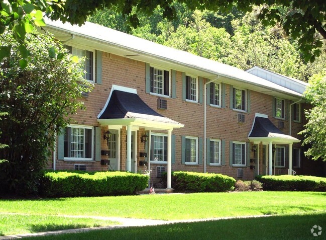
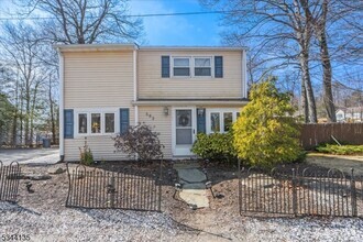
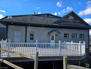
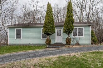
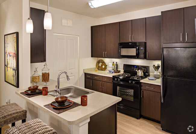
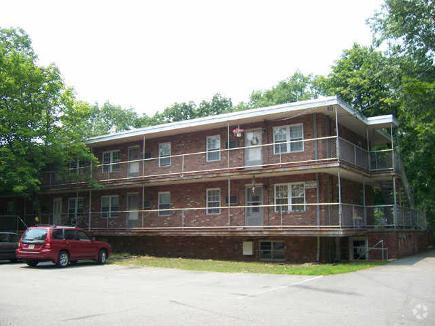
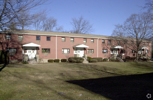
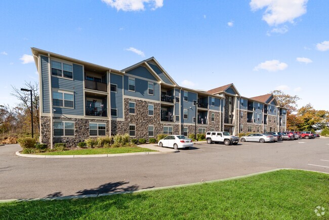
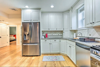
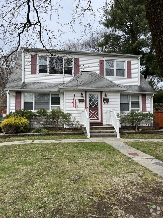
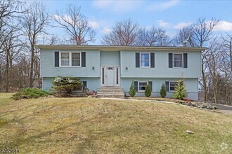
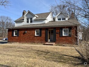
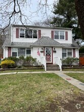
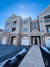
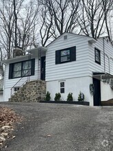
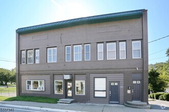
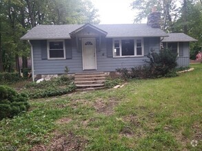
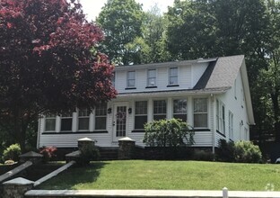
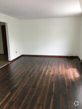
Apartments for Rent in West Milford NJ - 13 Rentals


Find the Perfect West Milford, NJ Apartment
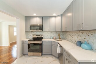
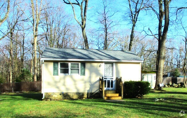
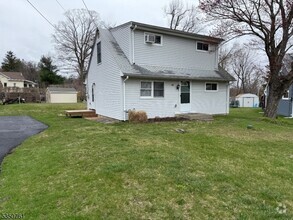
West Milford, NJ Apartments for Rent
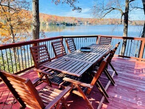
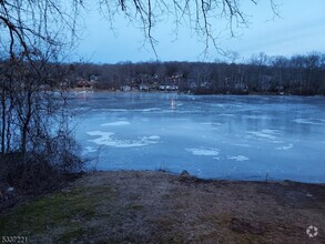
A sparse suburb known for its dense woodlands and family-friendly atmosphere, West Milford is home to a close-knit community that enjoys outdoor exploration. West Milford is surrounded by Sterling Forest State Park, Wawayanda State Park, Farny State Park, Norvin Green State Forest, and Ringwood State Park. Hiking and mountain biking are second nature to residents of this forested town!
West Milford sits along the edge of New Jersey and New York, offering a reasonable commute into New York City. Manhattan sits about 40 miles southeast of West Milford. Though residents can easily travel to and from the Big Apple, West Milford feels very secluded and offers a laid-back way of life. Surrounded by natural beauty, West Milford is the perfect woodland getaway with affordable rentals and small-town charm.
West Milford, NJ Rental Insights
Average Rent Rates
What is the average rent in West Milford, NJ?
The average rent in West Milford is $1,062. When you rent an apartment in West Milford, you can expect to pay as little as $1,062 or as much as $1,229, depending on the location and the size of the apartment.
What is the average rent of a 1 bedroom apartment in West Milford, NJ?
The average rent for a one bedroom apartment in West Milford, NJ is $1,062 per month.
What is the average rent of a 2 bedroom apartment in West Milford, NJ?
The average rent for a two bedroom apartment in West Milford, NJ is $1,229 per month.
Education
What colleges and universities are in West Milford, NJ?
If you’re a student moving to an apartment in West Milford, you’ll have access to Passaic County C.C., Wanaque, Ramapo College of New Jersey, and William Paterson University.