
$1,750 / Month
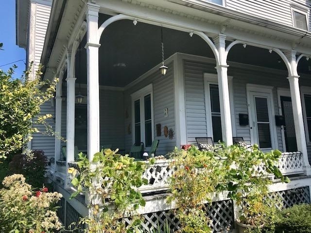
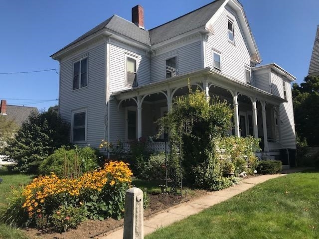
8 Nutt St
Nashua, NH 03060
2 Weeks Ago
Favorites
8 Nutt St

Favorites
Check Back Soon for Upcoming Availability
| Beds | Baths | Average SF |
|---|---|---|
| 3 Bedrooms 3 Bedrooms 3 Br | 1 Bath 1 Bath 1 Ba | 1,440 SF |
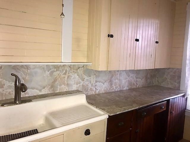
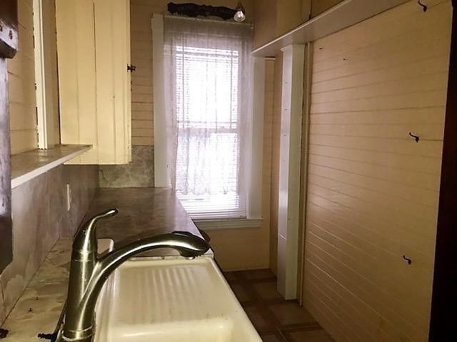
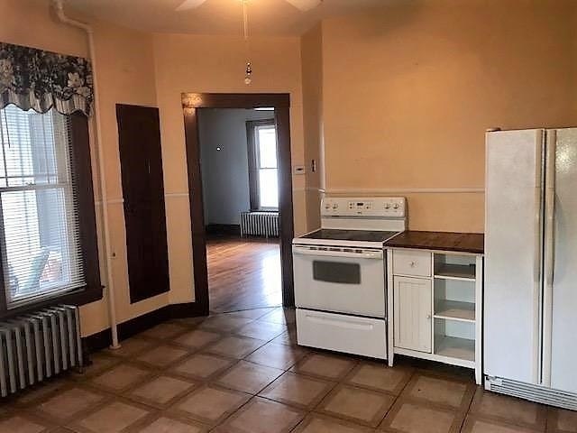
About This Property
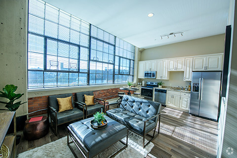
Beautiful Victorian with large porch! Landlord lives upstairs and loves the home. Grand and elegant. Pictures are from last time it rented 2 years ago. Some rooms may need to be repainted. Walk to downtown for dining and shopping. Fast to Rt. 3. 24 hours notice. No pets.
8 Nutt St is an apartment community located in Hillsborough County and the 03060 ZIP Code.
Features
- Basement
Fees and Policies
Location
Get Directions
Southeast Nashua is a vibrant neighborhood in Nashua, New Hampshire about 45 miles away from Boston, Massachusetts. Southeast Nashua is located between the Everett Turnpike and Merrimack River providing residents of this neighborhood with outdoor recreation and an easy commute.
River University, a small private catholic school, is located towards the north of the neighborhood next to the picturesque Nashua County Country Club and its golf course. Joyce Park and Wildlife Sanctuary is also located in the northern part of Southeast Nashua. Several shopping centers and malls including the Royal Ridge Center, Pheasant Lane Mall, and Daniel Webster Plaza are located in the southern part of town off Daniel Webster Highway and provide the neighborhood, with all the modern amenities and shops they could want.
Most of the rental options in this neighborhood are apartments in reasonable prices situated in the southern section of Southeast Nashua off Daniel Webster Road.
Learn more about living in Southeast NashuaBelow are rent ranges for similar nearby apartments
Amenities
- Basement
Education
| Colleges & Universities | Distance | ||
|---|---|---|---|
| Colleges & Universities | Distance | ||
| Walk: | 14 min | 0.8 mi | |
| Drive: | 23 min | 12.4 mi | |
| Drive: | 25 min | 13.5 mi | |
| Drive: | 33 min | 19.8 mi |
8 Nutt St is within 14 minutes or 0.8 mile from Rivier College. It is also near UMass Lowell and Middlesex C.C., Lowell Campus.
Transportation options available in Nashua include Alewife Station, located 33.4 miles from 8 Nutt St. 8 Nutt St is near Manchester Boston Regional, located 15.9 miles or 28 minutes away.
| Transit / Subway | Distance | ||
|---|---|---|---|
| Transit / Subway | Distance | ||
|
|
Drive: | 53 min | 33.4 mi |
|
|
Drive: | 54 min | 33.7 mi |
| Drive: | 53 min | 33.7 mi | |
|
|
Drive: | 56 min | 40.2 mi |
|
|
Drive: | 56 min | 41.5 mi |
| Commuter Rail | Distance | ||
|---|---|---|---|
| Commuter Rail | Distance | ||
|
|
Drive: | 25 min | 15.0 mi |
|
|
Drive: | 29 min | 18.8 mi |
|
|
Drive: | 39 min | 20.3 mi |
|
|
Drive: | 36 min | 20.4 mi |
|
|
Drive: | 39 min | 27.2 mi |
| Airports | Distance | ||
|---|---|---|---|
| Airports | Distance | ||
|
Manchester Boston Regional
|
Drive: | 28 min | 15.9 mi |
Time and distance from 8 Nutt St.
| Shopping Centers | Distance | ||
|---|---|---|---|
| Shopping Centers | Distance | ||
| Walk: | 9 min | 0.5 mi | |
| Drive: | 6 min | 2.2 mi | |
| Drive: | 6 min | 2.3 mi |
8 Nutt St has 3 shopping centers within 2.3 miles, which is about a 6-minute walk. The miles and minutes will be for the farthest away property.
| Parks and Recreation | Distance | ||
|---|---|---|---|
| Parks and Recreation | Distance | ||
|
Mine Falls Park
|
Drive: | 7 min | 2.6 mi |
|
Nashua National Fish Hatchery
|
Drive: | 8 min | 2.8 mi |
|
The Butterfly Place
|
Drive: | 15 min | 8.8 mi |
|
Silver Lake State Park
|
Drive: | 25 min | 10.1 mi |
|
Lowell-Dracut-Tyngsboro State Forest
|
Drive: | 23 min | 10.9 mi |
8 Nutt St has 5 parks within 10.9 miles, including Mine Falls Park, Nashua National Fish Hatchery, and The Butterfly Place.
| Hospitals | Distance | ||
|---|---|---|---|
| Hospitals | Distance | ||
| Walk: | 14 min | 0.7 mi | |
| Drive: | 5 min | 1.9 mi | |
| Drive: | 21 min | 11.0 mi |
8 Nutt St has 3 hospitals within 11.0 miles, the nearest is Southern New Hampshire Health which is 0.7 mile away and a 14 minute walk.
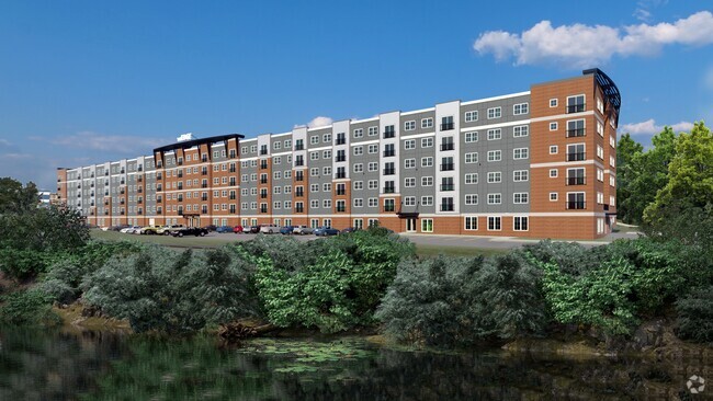
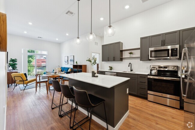
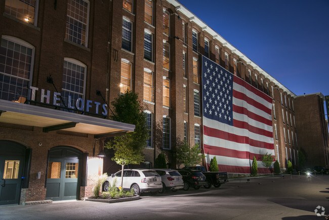
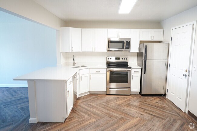
You May Also Like
Similar Rentals Nearby


What Are Walk Score®, Transit Score®, and Bike Score® Ratings?
Walk Score® measures the walkability of any address. Transit Score® measures access to public transit. Bike Score® measures the bikeability of any address.
What is a Sound Score Rating?
A Sound Score Rating aggregates noise caused by vehicle traffic, airplane traffic and local sources
8 Nutt St
Nashua, NH 03060