
$5,250 / Month
8 Stadium Way
Kentfield, CA 94904
Today
Favorites
415-847-1224
-
Bedrooms
3
-
Bathrooms
2
-
Square Feet
1,400 sq ft
-
Available
Available Jun 10
8 Stadium Way

Favorites
About This Home
$5,250 deposit,
Available Jun 10
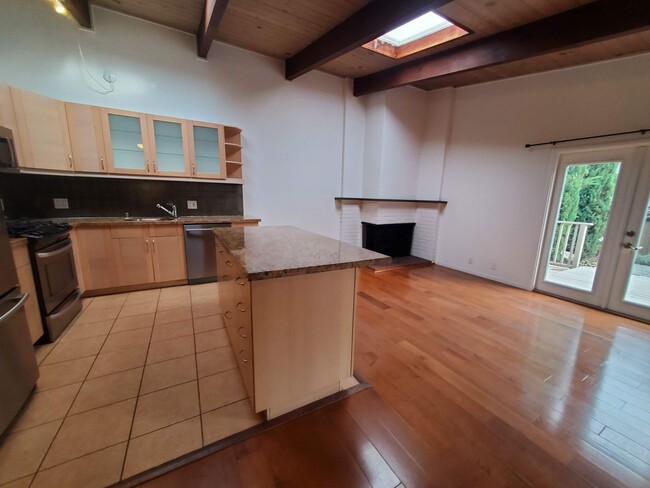
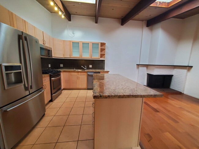
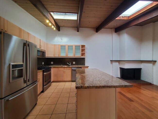
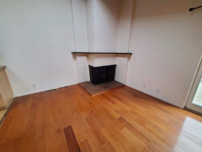
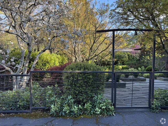
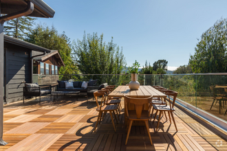
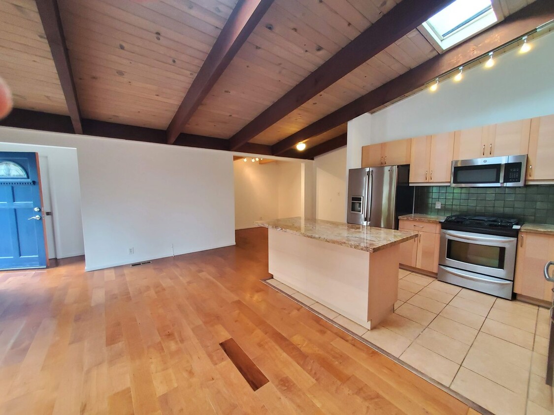
Ideally located 3x2 flat with bonus room and detached bonus office, fully fenced front and back yards with patios. Approximately 1400 sq. ft with open floorplan, vaulted ceilings, formal dining room, fireplace, in home laundry, 2-car off-street parking, front patio &; yard, patio off dining room, large back yard with detached modern building ideal for home-office, entertainment, office or recreational use. Close to Bacich Elementary School, Kent Middle School, College of Marin, Redwood High School and Marin Catholic
8 Stadium Way is a house located in Marin County and the 94904 ZIP Code.
* Price shown is base rent and may not include non-optional fees and utilities.
Price, availability, fees, and any applicable rent special are subject to change without notice.
* Square footage definitions vary. Displayed square footage is approximate.
House Features
- Dishwasher
Fees and Policies
Contact
- Listed by Morley | Morley Fredericks Real Estate Inc.
- Phone Number
- Contact
Location
Get Directions
Amenities
- Dishwasher
Located a few miles from the San Francisco, a few miles south of Downtown San Rafael, Kentfield is an upscale community featuring Spanish-style homes and modern apartments nestled on rolling hills with views of Mount Tamalpais. Kentfield is a great option for families with safe neighborhoods and access to top public schools. Home to the Baltimore Canyon Open Space Preserve, residents have easy access to a variety of scenic trails and a dazzling waterfall just minutes from their homes. Kentfield is predominately residential. The town only has a few restaurants, two hospitals, and several small businesses. For more dining, shopping, and entertainment options, residents travel to nearby towns, especially San Downtown San Rafael.
Learn more about living in Kentfield
Education
| Colleges & Universities | Distance | ||
|---|---|---|---|
| Colleges & Universities | Distance | ||
| Drive: | 10 min | 3.6 mi | |
| Drive: | 25 min | 14.9 mi | |
| Drive: | 25 min | 15.3 mi | |
| Drive: | 27 min | 15.7 mi |
8 Stadium Way is within 10 minutes or 3.6 miles from Dominican Univ. of Ca. It is also near Contra Costa College and UC San Francisco, Mount Zion.
Transportation options available in Kentfield include Richmond Station, located 12.1 miles from 8 Stadium Way. 8 Stadium Way is near San Francisco International, located 30.2 miles or 49 minutes away, and Metro Oakland International, located 31.8 miles or 45 minutes away.
| Transit / Subway | Distance | ||
|---|---|---|---|
| Transit / Subway | Distance | ||
|
|
Drive: | 20 min | 12.1 mi |
|
|
Drive: | 27 min | 15.8 mi |
|
|
Drive: | 27 min | 15.8 mi |
|
|
Drive: | 28 min | 16.1 mi |
|
|
Drive: | 28 min | 16.2 mi |
| Commuter Rail | Distance | ||
|---|---|---|---|
| Commuter Rail | Distance | ||
| Drive: | 6 min | 2.3 mi | |
| Drive: | 8 min | 2.7 mi | |
| Drive: | 12 min | 7.6 mi | |
| Drive: | 18 min | 11.0 mi | |
| Drive: | 21 min | 14.9 mi |
| Airports | Distance | ||
|---|---|---|---|
| Airports | Distance | ||
|
San Francisco International
|
Drive: | 49 min | 30.2 mi |
|
Metro Oakland International
|
Drive: | 45 min | 31.8 mi |
Time and distance from 8 Stadium Way.
| Shopping Centers | Distance | ||
|---|---|---|---|
| Shopping Centers | Distance | ||
| Walk: | 8 min | 0.5 mi | |
| Walk: | 15 min | 0.8 mi | |
| Drive: | 4 min | 1.5 mi |
8 Stadium Way has 3 shopping centers within 1.5 miles, which is about a 4-minute walk. The miles and minutes will be for the farthest away property.
| Parks and Recreation | Distance | ||
|---|---|---|---|
| Parks and Recreation | Distance | ||
|
Hal Brown Park at Creekside
|
Walk: | 19 min | 1.0 mi |
|
WildCare
|
Drive: | 6 min | 2.0 mi |
|
Baltimore Canyon Open Space
|
Drive: | 12 min | 3.7 mi |
|
Cascade Canyon Preserve
|
Drive: | 16 min | 5.6 mi |
|
Friends of Mt. Tam
|
Drive: | 21 min | 9.5 mi |
8 Stadium Way has 5 parks within 9.5 miles, including Hal Brown Park at Creekside, WildCare, and Baltimore Canyon Open Space.
| Hospitals | Distance | ||
|---|---|---|---|
| Hospitals | Distance | ||
| Drive: | 4 min | 1.4 mi | |
| Drive: | 14 min | 8.0 mi |
8 Stadium Way is 1.4 miles from MarinHealth Medical Center, and is convenient to other hospitals, including Kaiser Foundation Hospital.
| Military Bases | Distance | ||
|---|---|---|---|
| Military Bases | Distance | ||
| Drive: | 25 min | 15.0 mi | |
| Drive: | 27 min | 15.2 mi | |
| Drive: | 28 min | 15.6 mi |
8 Stadium Way has 3 military bases within 15.6 miles, the nearest is Armory West Contra Costa which is 15.0 miles away and a 25 minute drive.
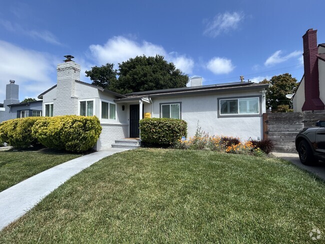
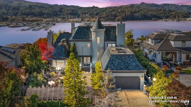
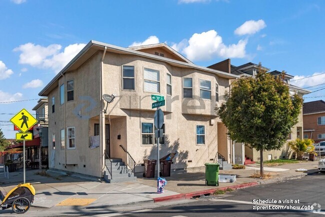
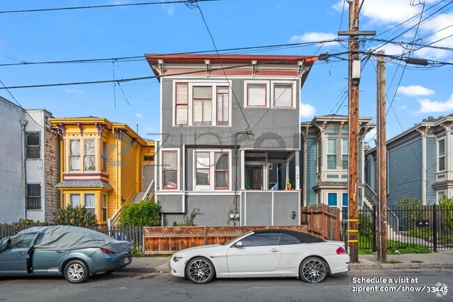
You May Also Like
Similar Rentals Nearby

What Are Walk Score®, Transit Score®, and Bike Score® Ratings?
Walk Score® measures the walkability of any address. Transit Score® measures access to public transit. Bike Score® measures the bikeability of any address.
What is a Sound Score Rating?
A Sound Score Rating aggregates noise caused by vehicle traffic, airplane traffic and local sources
8 Stadium Way
Kentfield, CA 94904