80 Bridge St
Dedham, MA 02026
-
Bedrooms
1
-
Bathrooms
1
-
Square Feet
--
-
Available
Available Now

About This Home
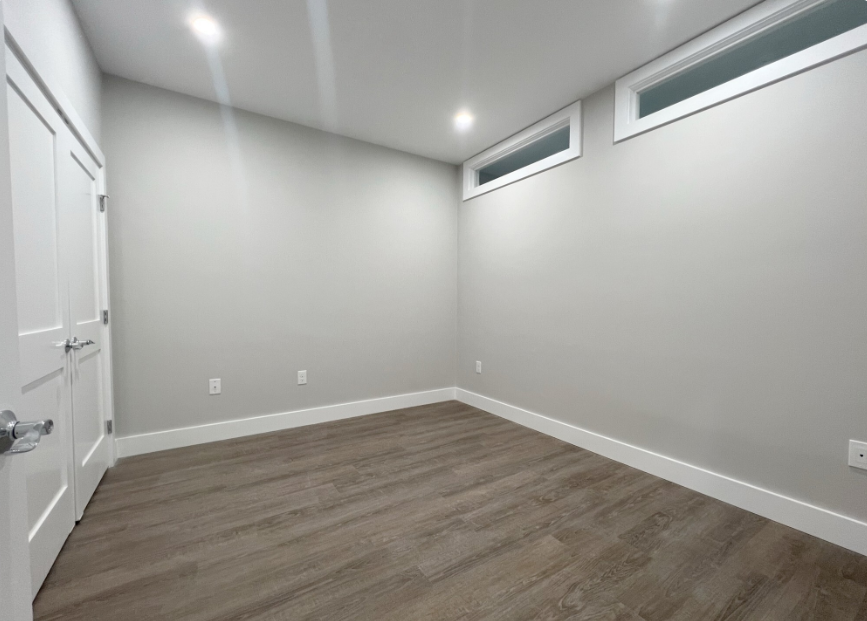
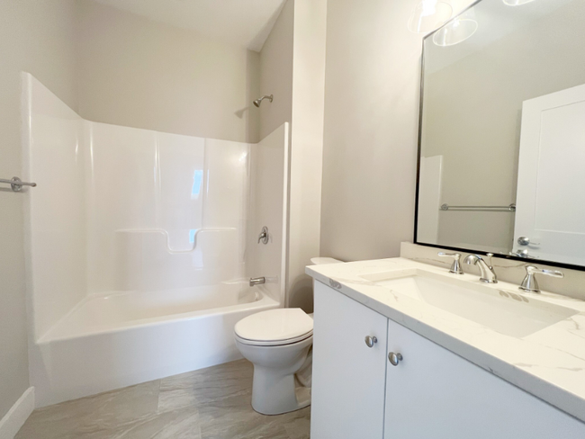
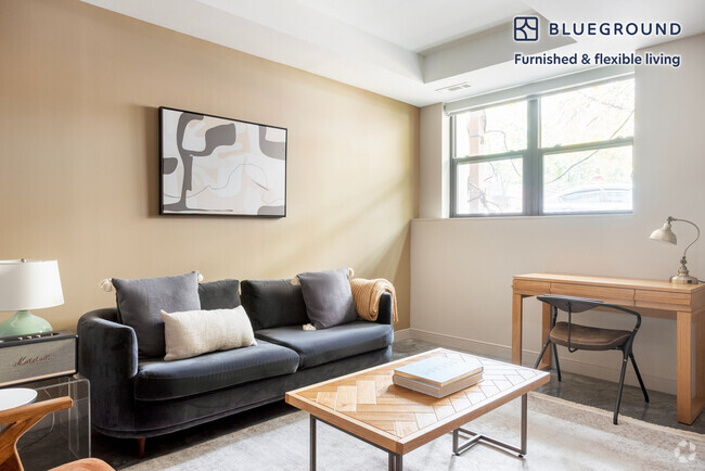
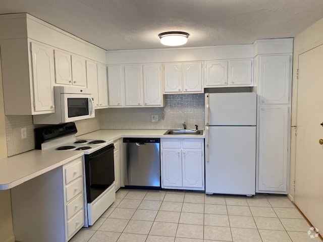
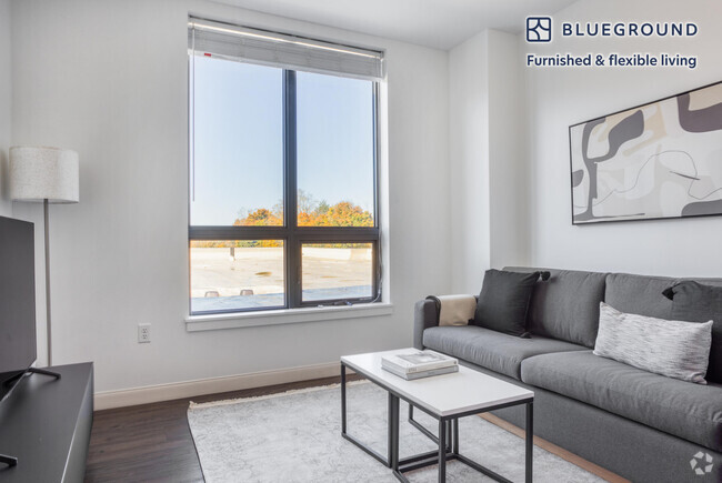
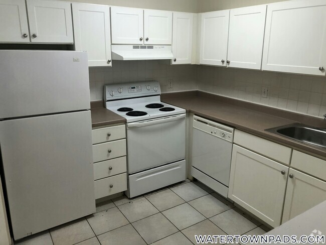
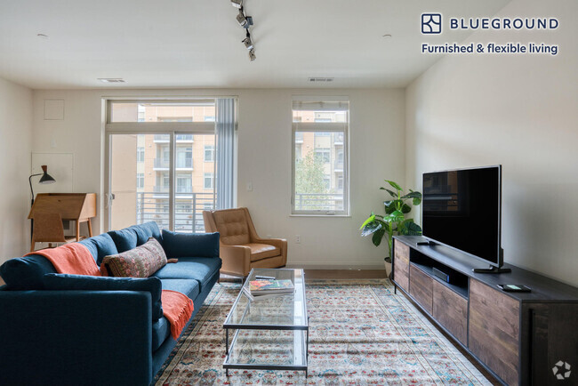
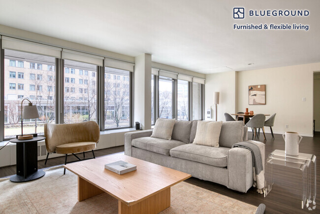
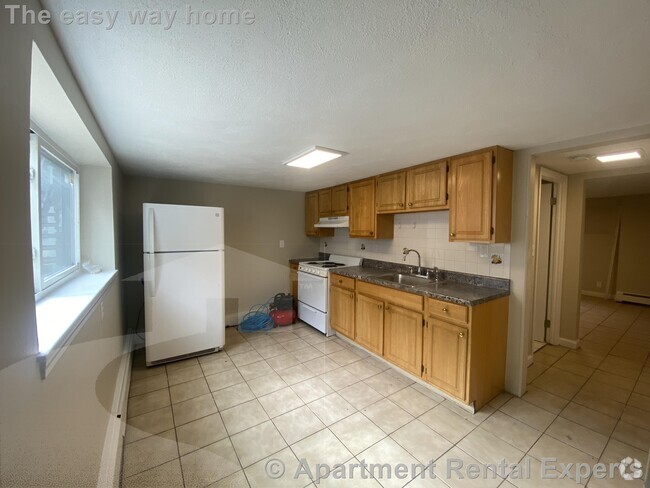
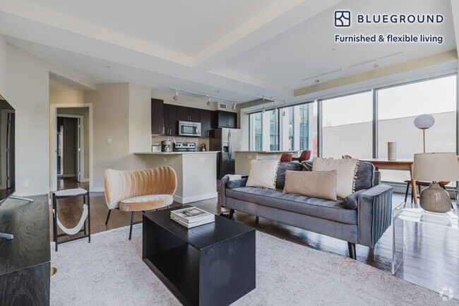
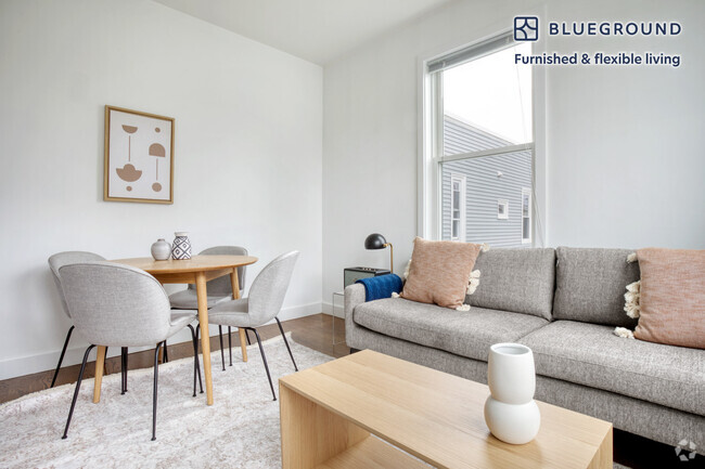
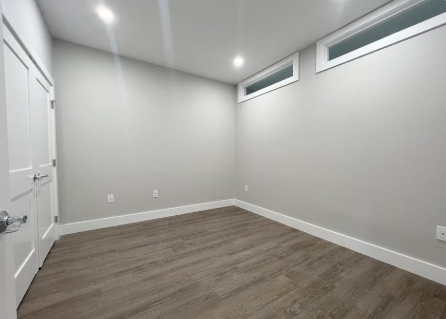
APS84857661 - 80 Bridge Street is an existing mixed-use building located in the Dedham, Massachusetts. There are a total of 41 residential units, 6 of which will be designated as affordable. The units will be rented to households earning up to 80% AMI (Area Median Income).
80 Bridge St is a condo located in Norfolk County and the 02026 ZIP Code.
Contact
- Phone Number (857) 229-4182
- Contact
Riverdale is a small neighborhood in Dedham, a suburb of Boston. This quiet, quaint neighborhood features mid-range to upscale townhomes, mid-rise apartments, and Colonial-style houses. As its name implies, Riverdale is nestled between the Charles River and several ponds, providing residents with easy access to numerous waterfront parks like Harvey Beach, Cutlet Park, and Millennium Park. The neighborhood is predominately residential with a few schools, daycare centers, and businesses. Conveniently, Riverdale is near several restaurants and shopping centers including the Dedham Mall. Dedham is a popular spot for commuters, and residents of Riverdale have easy access to Interstate 95 and Highway 109 to take them into Boston, which is about 20 miles northeast of the neighborhood.
Learn more about living in Riverdale| Colleges & Universities | Distance | ||
|---|---|---|---|
| Colleges & Universities | Distance | ||
| Drive: | 13 min | 5.8 mi | |
| Drive: | 13 min | 6.1 mi | |
| Drive: | 14 min | 7.0 mi | |
| Drive: | 13 min | 7.2 mi |
Transportation options available in Dedham include Chestnut Hill Station, located 4.5 miles from 80 Bridge St. 80 Bridge St is near General Edward Lawrence Logan International, located 14.0 miles or 26 minutes away.
| Transit / Subway | Distance | ||
|---|---|---|---|
| Transit / Subway | Distance | ||
|
|
Drive: | 9 min | 4.5 mi |
|
|
Drive: | 9 min | 4.9 mi |
|
|
Drive: | 10 min | 5.3 mi |
|
|
Drive: | 9 min | 5.5 mi |
|
|
Drive: | 13 min | 5.9 mi |
| Commuter Rail | Distance | ||
|---|---|---|---|
| Commuter Rail | Distance | ||
|
|
Drive: | 4 min | 1.5 mi |
|
|
Drive: | 4 min | 1.8 mi |
|
|
Drive: | 5 min | 2.3 mi |
|
|
Drive: | 6 min | 2.7 mi |
|
|
Drive: | 6 min | 3.5 mi |
| Airports | Distance | ||
|---|---|---|---|
| Airports | Distance | ||
|
General Edward Lawrence Logan International
|
Drive: | 26 min | 14.0 mi |
Time and distance from 80 Bridge St.
| Shopping Centers | Distance | ||
|---|---|---|---|
| Shopping Centers | Distance | ||
| Walk: | 16 min | 0.9 mi | |
| Walk: | 18 min | 0.9 mi | |
| Drive: | 3 min | 1.3 mi |
| Parks and Recreation | Distance | ||
|---|---|---|---|
| Parks and Recreation | Distance | ||
|
Brook Farm Historic Site
|
Drive: | 2 min | 1.2 mi |
|
Stony Brook Reservation
|
Drive: | 7 min | 3.1 mi |
|
Cutler Park Reservation
|
Drive: | 7 min | 3.9 mi |
|
Arnold Arboretum of Harvard University
|
Drive: | 6 min | 3.9 mi |
|
Mass Audubon's Boston Nature Center and Wildlife Sanctuary
|
Drive: | 14 min | 5.4 mi |
| Hospitals | Distance | ||
|---|---|---|---|
| Hospitals | Distance | ||
| Drive: | 5 min | 2.9 mi | |
| Drive: | 8 min | 4.1 mi | |
| Drive: | 7 min | 4.2 mi |
| Military Bases | Distance | ||
|---|---|---|---|
| Military Bases | Distance | ||
| Drive: | 21 min | 11.0 mi | |
| Drive: | 29 min | 17.1 mi |
You May Also Like
Similar Rentals Nearby
What Are Walk Score®, Transit Score®, and Bike Score® Ratings?
Walk Score® measures the walkability of any address. Transit Score® measures access to public transit. Bike Score® measures the bikeability of any address.
What is a Sound Score Rating?
A Sound Score Rating aggregates noise caused by vehicle traffic, airplane traffic and local sources
