800 E Charleston Rd
Palo Alto, CA 94303
-
Bedrooms
3
-
Bathrooms
3
-
Square Feet
1,733 sq ft
-
Available
Available Now
Highlights
- Private Pool
- Wood Flooring
- Community Pool
- Breakfast Bar
- Tile Flooring
- Kitchen Island

About This Home
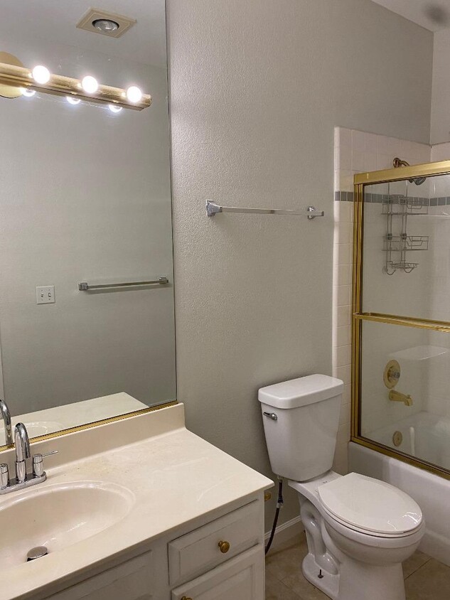
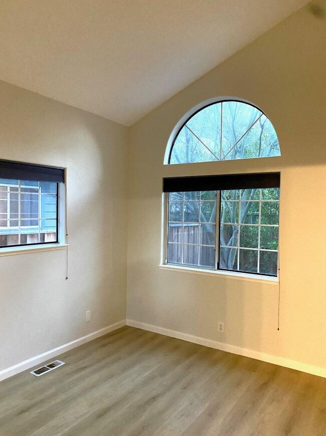
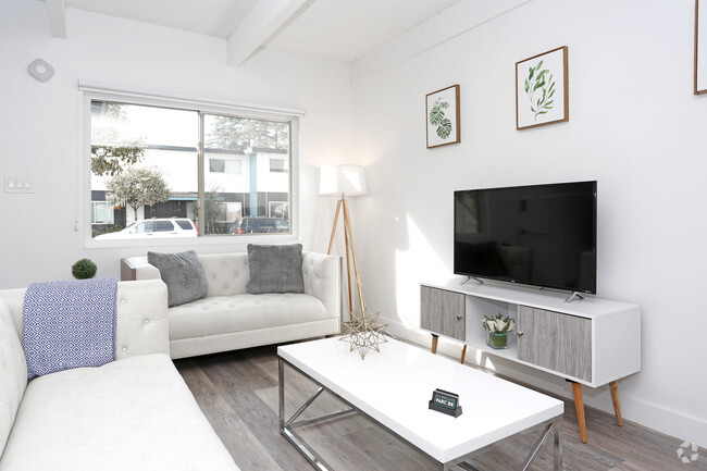
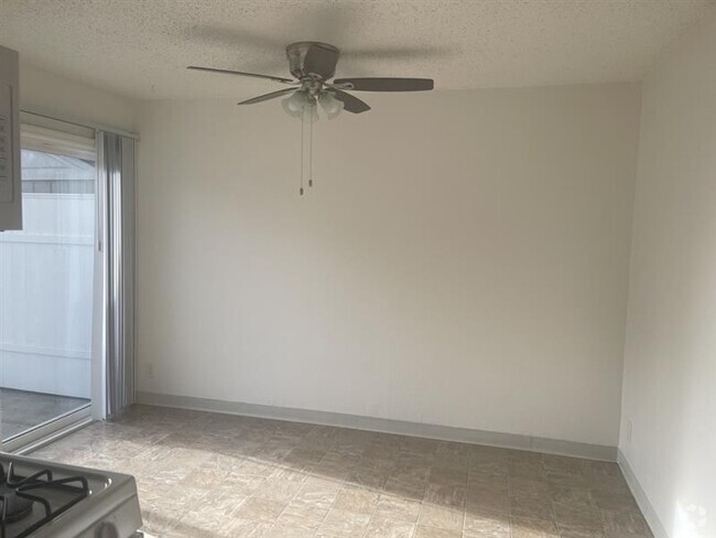
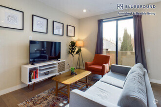
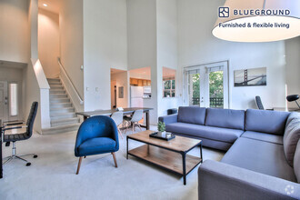
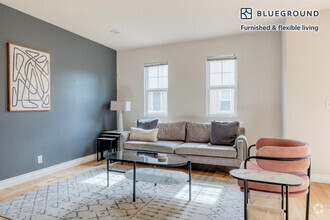
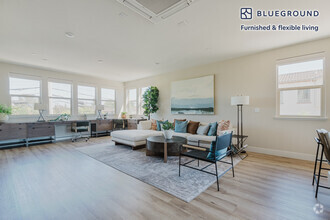
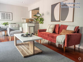
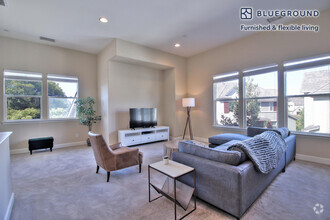
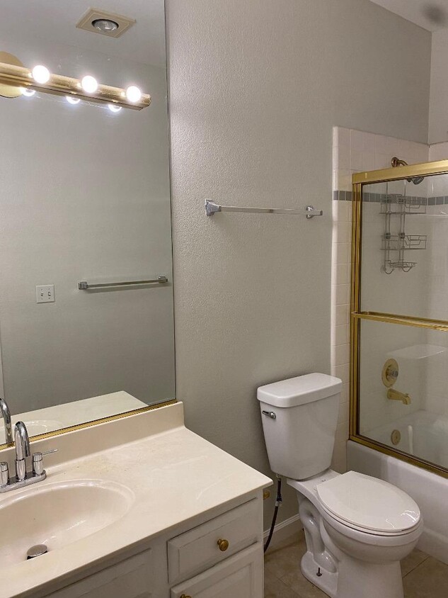
Sought-after Charleston Village townhouse--almost feel like a single family house - New interior wall paint Newly refinished hardwood floor - New wood-like SPC floors - some new lighting fixtures and all new bathroom vanity faucets - Great room concept with open living room/dining room/kitchen with breakfast bar seating; sliding glass door to the secluded backyard with a patio. One bedroom and a full bath on the main level, 2 suites on the 2nd floor--one has a huge balcony and the other has a large walk-in closet. Separate laundry room on the 2nd floor has washer and dryer and clothes folding work station. All 3 bathrooms have either shower over tub or tub + separate shower stall.. Rent includes water and HOA due. Complex has a community pool. Location is convenient with easy access to all the major commuting routes to major employers, such as Google, Intuit, Microsoft, Facebook and Apple.
800 E Charleston Rd is a townhome located in Santa Clara County and the 94303 ZIP Code. This area is served by the Palo Alto Unified attendance zone.
Home Details
Home Type
Bedrooms and Bathrooms
Flooring
Interior Spaces
Kitchen
Laundry
Listing and Financial Details
Lot Details
Parking
Pool
Utilities
Community Details
Recreation
Contact
- Listed by Julie Lau
- Contact
-
Source
 MLSListings Inc.
- Fireplace
- Pool
Palo Alto is known as the birthplace of Silicon Valley and that unique heritage is proudly on display, with the Computer History Museum just down the street from Google’s world headquarters and countless other tech companies all over town. The restaurant scene rivals that of nearby San Francisco, with many small, independent eateries serving up some of the best food in the Bay Area.
With close proximity to the country’s tech center, it’s no surprise that Palo Alto apartments come with some of the most incredible amenities around. Residents also have access to dozens of options for outdoor recreation, including the gorgeous hiking and biking trails through the surrounding nature preserves, several golf courses, and easy access to San Francisco Bay. Bicycling is a popular mode of transportation around Palo Alto, with many bike-friendly routes around the city.
Palo Alto is famous as the home of Stanford University, and the campus is one of the most dominant landmarks in the area.
Learn more about living in Palo Alto| Colleges & Universities | Distance | ||
|---|---|---|---|
| Colleges & Universities | Distance | ||
| Walk: | 13 min | 0.7 mi | |
| Drive: | 13 min | 4.5 mi | |
| Drive: | 12 min | 5.3 mi | |
| Drive: | 16 min | 9.2 mi |
Transportation options available in Palo Alto include Bayshore/Nasa Station, located 3.7 miles from 800 E Charleston Rd. 800 E Charleston Rd is near Norman Y Mineta San Jose International, located 11.1 miles or 16 minutes away, and San Francisco International, located 22.9 miles or 30 minutes away.
| Transit / Subway | Distance | ||
|---|---|---|---|
| Transit / Subway | Distance | ||
|
|
Drive: | 6 min | 3.7 mi |
|
|
Drive: | 6 min | 4.0 mi |
|
|
Drive: | 7 min | 4.1 mi |
|
|
Drive: | 8 min | 4.2 mi |
|
|
Drive: | 8 min | 4.5 mi |
| Commuter Rail | Distance | ||
|---|---|---|---|
| Commuter Rail | Distance | ||
| Drive: | 4 min | 1.7 mi | |
| Drive: | 8 min | 3.0 mi | |
| Drive: | 9 min | 3.7 mi | |
| Drive: | 11 min | 4.4 mi | |
| Drive: | 15 min | 7.6 mi |
| Airports | Distance | ||
|---|---|---|---|
| Airports | Distance | ||
|
Norman Y Mineta San Jose International
|
Drive: | 16 min | 11.1 mi |
|
San Francisco International
|
Drive: | 30 min | 22.9 mi |
Time and distance from 800 E Charleston Rd.
| Shopping Centers | Distance | ||
|---|---|---|---|
| Shopping Centers | Distance | ||
| Walk: | 11 min | 0.6 mi | |
| Walk: | 11 min | 0.6 mi | |
| Walk: | 12 min | 0.6 mi |
| Parks and Recreation | Distance | ||
|---|---|---|---|
| Parks and Recreation | Distance | ||
|
J. Pearce Mitchell Park
|
Drive: | 4 min | 1.1 mi |
|
Terman Park
|
Drive: | 7 min | 2.2 mi |
|
Stevens Creek Shoreline Nature Study Area
|
Drive: | 8 min | 2.7 mi |
|
Bol Park
|
Drive: | 9 min | 2.9 mi |
|
The Environmental Volunteers EcoCenter
|
Drive: | 8 min | 3.6 mi |
| Hospitals | Distance | ||
|---|---|---|---|
| Hospitals | Distance | ||
| Drive: | 8 min | 5.1 mi | |
| Drive: | 13 min | 5.1 mi | |
| Drive: | 15 min | 5.7 mi |
| Military Bases | Distance | ||
|---|---|---|---|
| Military Bases | Distance | ||
| Drive: | 9 min | 4.0 mi |
You May Also Like
Similar Rentals Nearby
-
-
-
-
-
$8,0303 Beds, 3 Baths, 1,300 sq ftTownhome for Rent
-
$5,0003 Beds, 2.5 Baths, 1,381 sq ftTownhome for Rent
-
$5,0503 Beds, 2.5 Baths, 1,663 sq ftTownhome for Rent
-
$6,4903 Beds, 3.5 Baths, 2,010 sq ftTownhome for Rent
-
$6,6503 Beds, 2.5 Baths, 1,200 sq ftTownhome for Rent
-
$4,9103 Beds, 2.5 Baths, 1,892 sq ftTownhome for Rent
What Are Walk Score®, Transit Score®, and Bike Score® Ratings?
Walk Score® measures the walkability of any address. Transit Score® measures access to public transit. Bike Score® measures the bikeability of any address.
What is a Sound Score Rating?
A Sound Score Rating aggregates noise caused by vehicle traffic, airplane traffic and local sources
