-
WeakleyG 808
-
-

-

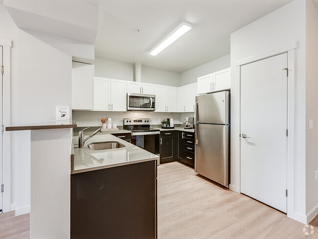
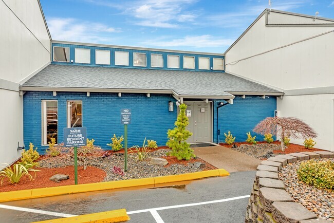
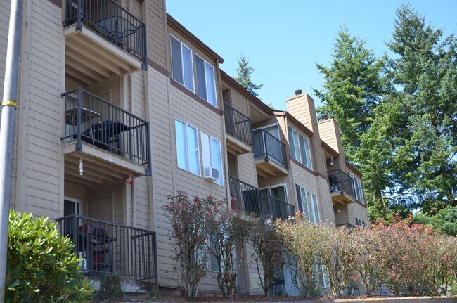
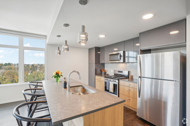
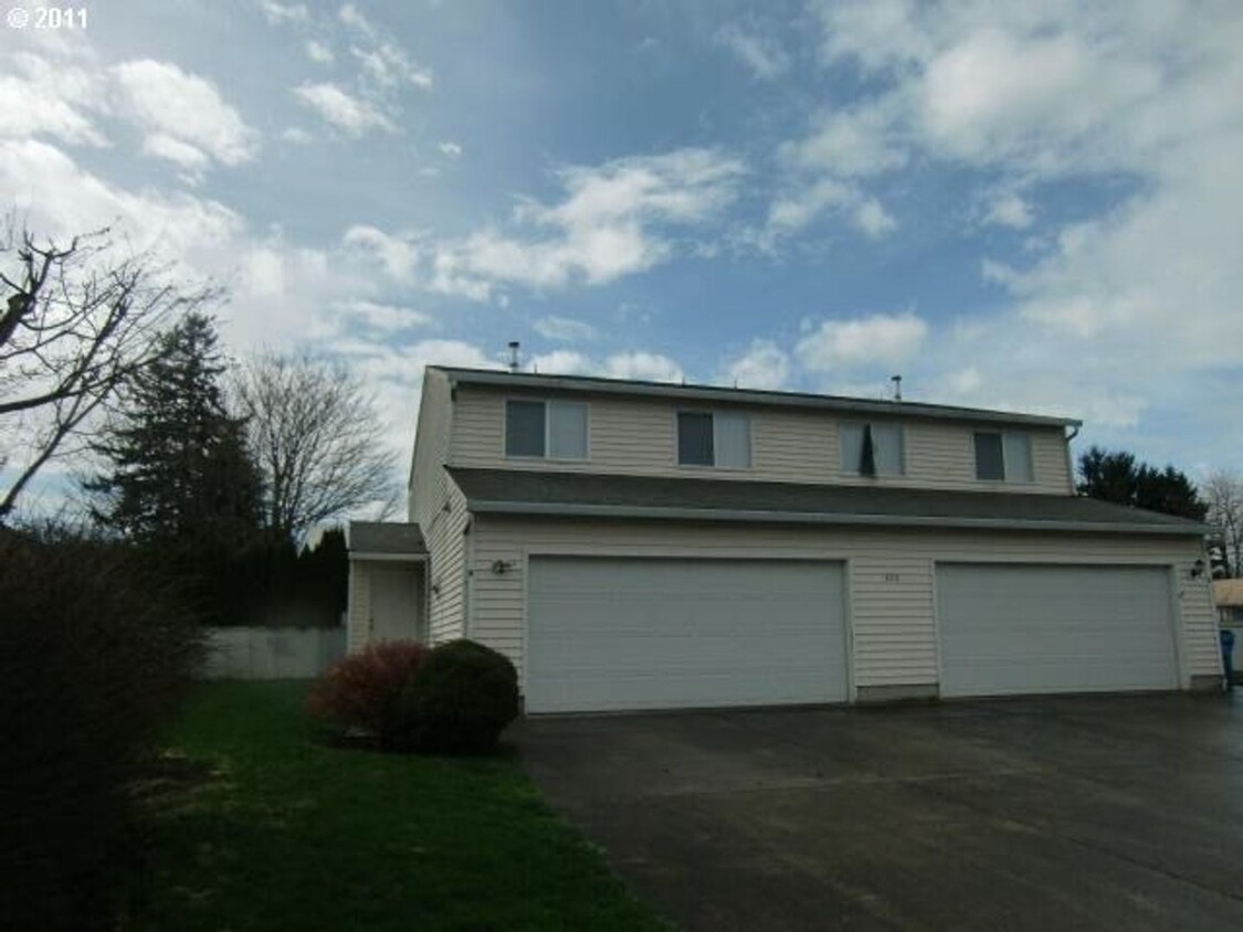
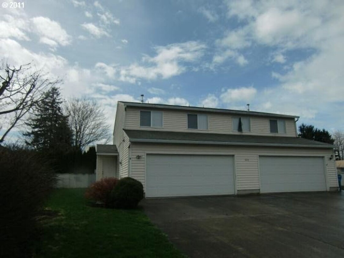
808 NE 163rd Ave Unit B
Vancouver, WA 98684
-
Bedrooms
3
-
Bathrooms
1.5
-
Square Feet
1,467 sq ft
-
Available
Available Now

Contact
- Listed by Invest West Management | Invest West Management
- Phone Number
- Contact
An array of natural elements and modern conveniences characterize the warm neighborhood of Fisher's Village, which is located in southeast Vancouver, just north of the Columbia River. With access to a variety of parks, lakes, and creeks, in addition to streets filled with everything from specialty boutiques to department stores, the residents of Fisher's Village find that living locally comes naturally.
The neighborhood includes a large portion of Vancouver within its somewhat amorphous boundaries. As a whole, Fisher's Village includes a broad range of several smaller districts, such as Fisher's Landing East and the Village at Fisher's Landing in the south, as well as Orchards Area in the north. Commuting from the community is simple with access to the Lewis and Clark Highway and Interstate 205.
Learn more about living in Fisher's Village| Colleges & Universities | Distance | ||
|---|---|---|---|
| Colleges & Universities | Distance | ||
| Drive: | 14 min | 6.6 mi | |
| Drive: | 18 min | 9.5 mi | |
| Drive: | 20 min | 12.3 mi | |
| Drive: | 22 min | 12.4 mi |
Transportation options available in Vancouver include Mt Hood Avenue, located 8.9 miles from 808 NE 163rd Ave Unit B. 808 NE 163rd Ave Unit B is near Portland International, located 10.1 miles or 19 minutes away.
| Transit / Subway | Distance | ||
|---|---|---|---|
| Transit / Subway | Distance | ||
|
|
Drive: | 17 min | 8.9 mi |
|
|
Drive: | 17 min | 9.0 mi |
|
|
Drive: | 19 min | 10.1 mi |
|
|
Drive: | 20 min | 11.7 mi |
|
|
Drive: | 22 min | 13.6 mi |
| Commuter Rail | Distance | ||
|---|---|---|---|
| Commuter Rail | Distance | ||
|
|
Drive: | 20 min | 12.3 mi |
|
|
Drive: | 29 min | 18.5 mi |
|
|
Drive: | 36 min | 23.2 mi |
|
|
Drive: | 40 min | 26.3 mi |
|
|
Drive: | 42 min | 28.1 mi |
| Airports | Distance | ||
|---|---|---|---|
| Airports | Distance | ||
|
Portland International
|
Drive: | 19 min | 10.1 mi |
Time and distance from 808 NE 163rd Ave Unit B.
| Shopping Centers | Distance | ||
|---|---|---|---|
| Shopping Centers | Distance | ||
| Walk: | 9 min | 0.5 mi | |
| Walk: | 13 min | 0.7 mi | |
| Walk: | 14 min | 0.7 mi |
| Parks and Recreation | Distance | ||
|---|---|---|---|
| Parks and Recreation | Distance | ||
|
Pacific Community Park
|
Walk: | 18 min | 0.9 mi |
|
Diamond Park
|
Drive: | 4 min | 2.0 mi |
|
Hearthwood Park
|
Drive: | 5 min | 2.0 mi |
|
Fisher Basin Community Park
|
Drive: | 5 min | 2.2 mi |
|
LeRoy Haagen Memorial Park
|
Drive: | 5 min | 2.3 mi |
| Hospitals | Distance | ||
|---|---|---|---|
| Hospitals | Distance | ||
| Drive: | 10 min | 4.8 mi | |
| Drive: | 22 min | 12.7 mi | |
| Drive: | 24 min | 14.5 mi |
| Military Bases | Distance | ||
|---|---|---|---|
| Military Bases | Distance | ||
| Drive: | 19 min | 9.4 mi | |
| Drive: | 20 min | 10.7 mi |
You May Also Like
Similar Rentals Nearby
What Are Walk Score®, Transit Score®, and Bike Score® Ratings?
Walk Score® measures the walkability of any address. Transit Score® measures access to public transit. Bike Score® measures the bikeability of any address.
What is a Sound Score Rating?
A Sound Score Rating aggregates noise caused by vehicle traffic, airplane traffic and local sources
