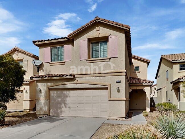
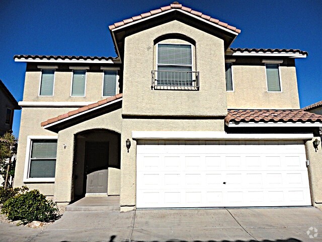
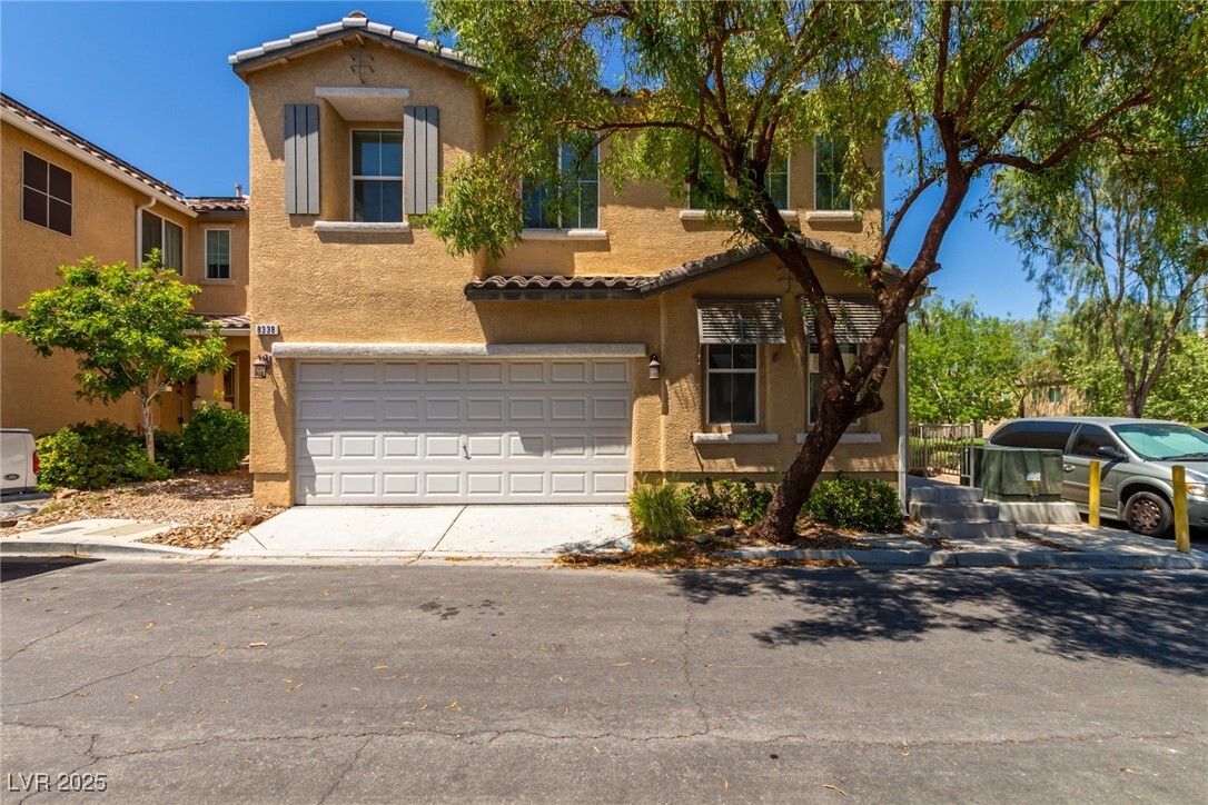
8338 Fort Hallock Ave
Las Vegas, NV 89131
-
Bedrooms
4
-
Bathrooms
3
-
Square Feet
2,295 sq ft
-
Available
Available Now
Highlight
- Pets Allowed

About This Home
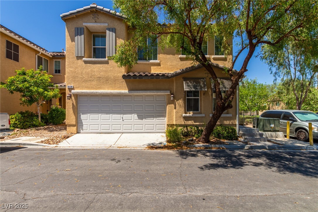
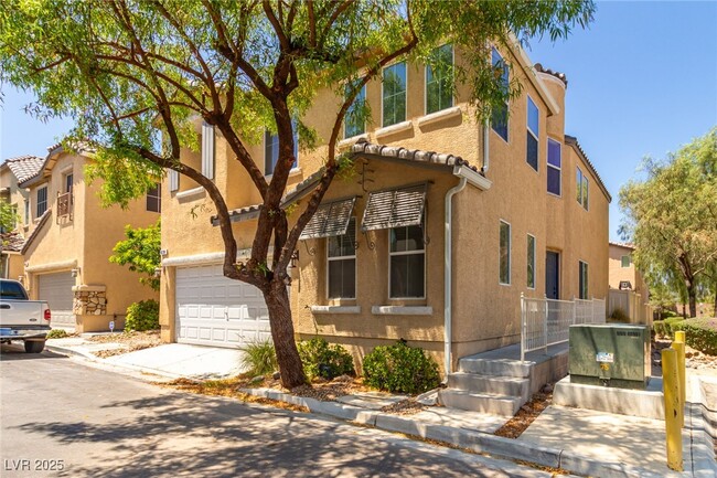
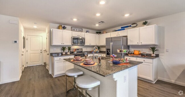
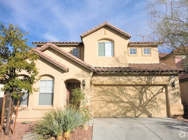
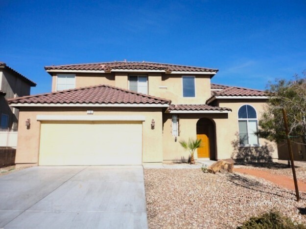
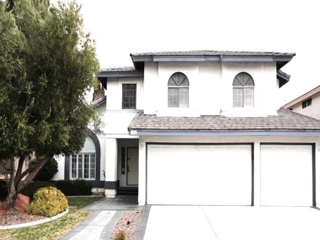
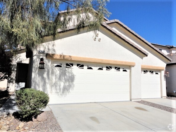
This spacious home features an open floor plan with soaring vaulted ceilings, creating a bright and inviting atmosphere. The large living room flows seamlessly into the well-appointed kitchen, which boasts a center island—perfect for meal prep and entertaining. One bedroom and a full bathroom are conveniently located downstairs, offering flexibility for guests or a home office. Upstairs, you’ll find a laundry area with a washer and dryer, along with generously sized bedrooms. The expansive primary suite includes a walk-in closet, dual vanities, a separate soaking tub, and a walk-in shower. Situated next to guest parking and a beautiful community park, this home offers both comfort and convenience. Enjoy easy access to shopping, dining, and entertainment while living in a welcoming neighborhood. Don’t miss out on this fantastic rental opportunity—schedule a showing today!
8338 Fort Hallock Ave is a house located in Clark County and the 89131 ZIP Code. This area is served by the Clark County attendance zone.
House Features
Washer/Dryer
Air Conditioning
Dishwasher
Refrigerator
- Washer/Dryer
- Air Conditioning
- Dishwasher
- Disposal
- Oven
- Range
- Refrigerator
- Carpet
- Tile Floors
- Vinyl Flooring
Contact
- Listed by Rick Keller | Keller N Jadd
- Phone Number (702) 750-1541
- Website View Property Website
- Contact
-
Source
 Greater Las Vegas Association of REALTORS®
- Washer/Dryer
- Air Conditioning
- Dishwasher
- Disposal
- Oven
- Range
- Refrigerator
- Carpet
- Tile Floors
- Vinyl Flooring
Situated in the rapidly expanding northwest corner of Las Vegas, Centennial Hills rests about 16 miles from Downtown and 18 miles from the Strip. Boasting vast mountain views and a laidback pace, Centennial Hills serves as a suburban reprieve from city life.
Parks abound in Centennial Hills. Among the many are Centennial Hills Park, Mountain Crest Park, and Majestic Park. Nearby Floyd Lamb Park and Red Rock Canyon National Conservation Area offer additional opportunities for outdoor adventure as well. Golfers delight in the presence of Painted Desert Golf Club and Silverstone Golf Club. Shoppers relish the convenience and variety Centennial Centre provides.
Ample major roadway access allows Centennial Hills residents to venture into the city at any time.
Learn more about living in Centennial Hills| Colleges & Universities | Distance | ||
|---|---|---|---|
| Colleges & Universities | Distance | ||
| Drive: | 19 min | 12.6 mi | |
| Drive: | 25 min | 15.1 mi | |
| Drive: | 22 min | 15.9 mi | |
| Drive: | 32 min | 20.9 mi |
Transportation options available in Las Vegas include Sahara Station, located 17.8 miles from 8338 Fort Hallock Ave. 8338 Fort Hallock Ave is near Harry Reid International, located 22.1 miles or 34 minutes away, and Boulder City Municipal, located 42.1 miles or 53 minutes away.
| Transit / Subway | Distance | ||
|---|---|---|---|
| Transit / Subway | Distance | ||
|
|
Drive: | 25 min | 17.8 mi |
|
|
Drive: | 27 min | 18.3 mi |
|
|
Drive: | 26 min | 18.4 mi |
|
|
Drive: | 28 min | 19.1 mi |
|
|
Drive: | 28 min | 19.7 mi |
| Airports | Distance | ||
|---|---|---|---|
| Airports | Distance | ||
|
Harry Reid International
|
Drive: | 34 min | 22.1 mi |
|
Boulder City Municipal
|
Drive: | 53 min | 42.1 mi |
Time and distance from 8338 Fort Hallock Ave.
| Shopping Centers | Distance | ||
|---|---|---|---|
| Shopping Centers | Distance | ||
| Walk: | 8 min | 0.5 mi | |
| Walk: | 9 min | 0.5 mi | |
| Walk: | 11 min | 0.6 mi |
| Parks and Recreation | Distance | ||
|---|---|---|---|
| Parks and Recreation | Distance | ||
|
Floyd Lamb Park
|
Drive: | 9 min | 2.7 mi |
|
Spring Mountains National Recreation Area
|
Drive: | 11 min | 6.0 mi |
|
Craig Ranch Regional Park
|
Drive: | 20 min | 11.5 mi |
|
Springs Preserve
|
Drive: | 20 min | 13.8 mi |
| Hospitals | Distance | ||
|---|---|---|---|
| Hospitals | Distance | ||
| Drive: | 4 min | 1.9 mi | |
| Drive: | 11 min | 7.7 mi | |
| Drive: | 20 min | 14.0 mi |
| Military Bases | Distance | ||
|---|---|---|---|
| Military Bases | Distance | ||
| Drive: | 36 min | 21.3 mi |
You May Also Like
Similar Rentals Nearby
-
-
-
$2,7054 Beds, 3 Baths, 2,434 sq ftHouse for Rent
-
$2,3004 Beds, 2.5 Baths, 1,866 sq ftHouse for Rent
-
$2,2904 Beds, 2.5 Baths, 2,097 sq ftHouse for Rent
-
$3,0004 Beds, 3 Baths, 2,785 sq ftHouse for Rent
-
$2,5705 Beds, 3 Baths, 2,543 sq ftHouse for Rent
-
$2,6304 Beds, 2.5 Baths, 2,383 sq ftHouse for Rent
-
$2,2954 Beds, 2.5 Baths, 1,937 sq ftHouse for Rent
-
$2,5104 Beds, 2.5 Baths, 2,307 sq ftHouse for Rent
What Are Walk Score®, Transit Score®, and Bike Score® Ratings?
Walk Score® measures the walkability of any address. Transit Score® measures access to public transit. Bike Score® measures the bikeability of any address.
What is a Sound Score Rating?
A Sound Score Rating aggregates noise caused by vehicle traffic, airplane traffic and local sources
