
$850 / Month
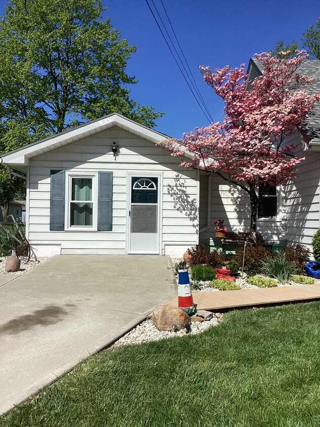
8509 Butler Warren County Line Rd Unit Apt 1
West Chester, OH 45069
2 Weeks Ago
Favorites
8509 Butler Warren County Line Rd Unit Apt 1

Favorites
Check Back Soon for Upcoming Availability
| Beds | Baths | Average SF |
|---|---|---|
| 1 Bedroom 1 Bedroom 1 Br | 1 Bath 1 Bath 1 Ba | 570 SF |
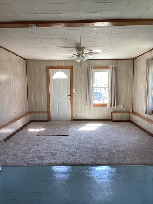
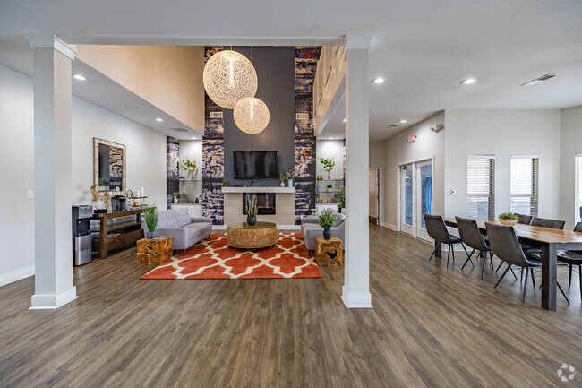
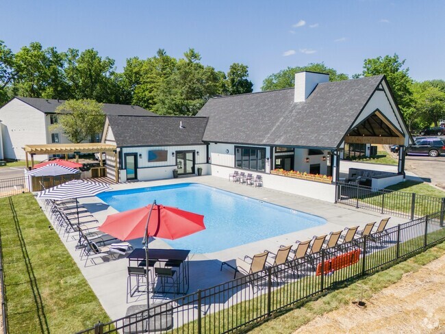
About This Property
Airy studio/ 1 bdrm nice quiet elderly neighborhood. NO PETS. NO SMOKING indoors.
8509 Butler Warren County Line Rd is an apartment community located in Butler County and the 45069 ZIP Code. This area is served by the Lakota Local attendance zone.
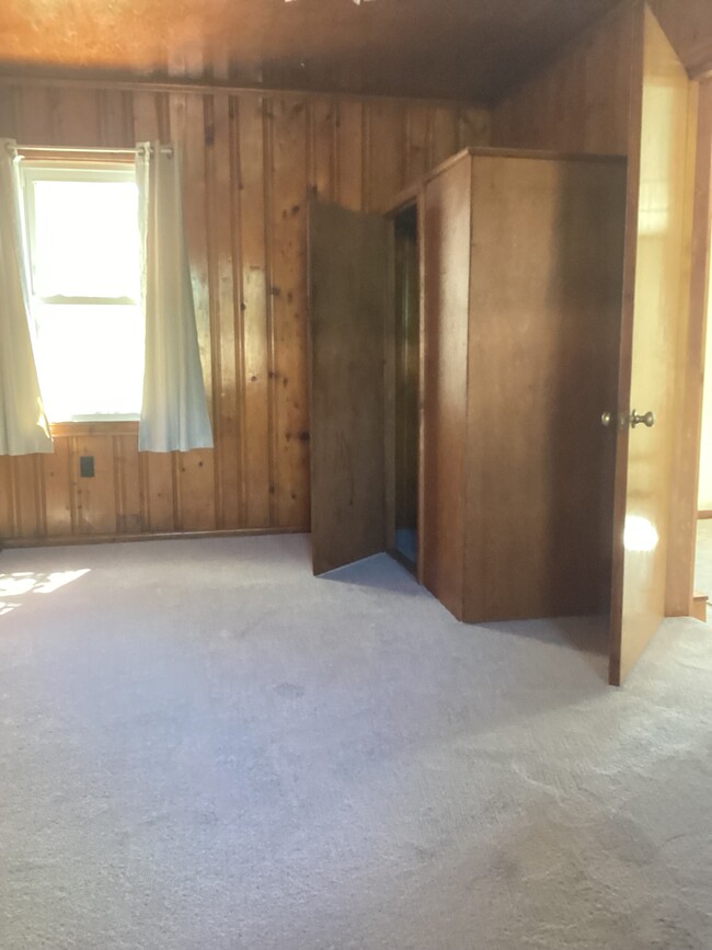
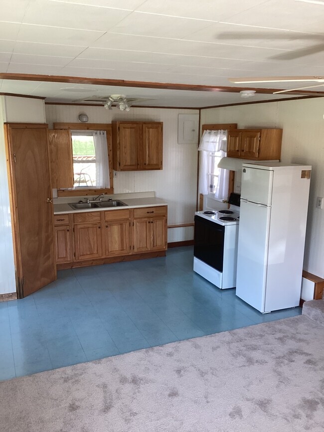
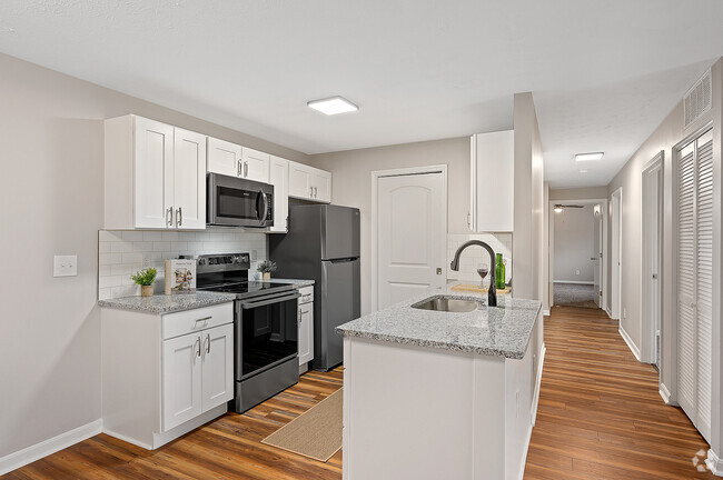
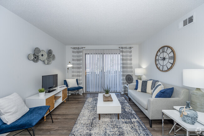
Apartment Features
Air Conditioning
Refrigerator
Tub/Shower
Ceiling Fans
- Air Conditioning
- Ceiling Fans
- Smoke Free
- Tub/Shower
- Eat-in Kitchen
- Kitchen
- Oven
- Range
- Refrigerator
- High Ceilings
- Window Coverings
- Large Bedrooms
- Wheelchair Accessible
- Deck
- Yard
- Lawn
Fees and Policies
The fees below are based on community-supplied data and may exclude additional fees and utilities.
Details
Utilities Included
-
Water
-
Trash Removal
-
Sewer
Location
Get Directions
West Chester is a suburban township located about thirty minutes north of Cincinnati along Interstate 75. Most of the landscape is filled by residential neighborhoods, with several amenities including a shopping mall and a multiplex movie theater in the mix as well.
The northeast corner of town is home to most of the local retail and recreation options, with several shopping centers and restaurants neighboring the huge Voice of America MetroPark and Wetherington Golf-Country Club. The close proximity to Cincinnati, the terrific amenities, and the high-performing schools combine to make West Chester a popular spot for commuters and families to settle down.
Learn more about living in West Chester
Amenities
- Air Conditioning
- Ceiling Fans
- Smoke Free
- Tub/Shower
- Eat-in Kitchen
- Kitchen
- Oven
- Range
- Refrigerator
- High Ceilings
- Window Coverings
- Large Bedrooms
- Wheelchair Accessible
- Deck
- Yard
- Lawn
Expenses
Utilities Included
Water, Trash Removal, Sewer
Included
Education
| Colleges & Universities | Distance | ||
|---|---|---|---|
| Colleges & Universities | Distance | ||
| Drive: | 15 min | 7.7 mi | |
| Drive: | 21 min | 9.1 mi | |
| Drive: | 24 min | 15.8 mi | |
| Drive: | 26 min | 16.3 mi |
8509 Butler Warren County Line Rd Unit Apt 1 is within 15 minutes or 7.7 miles from Cincinnati State, WDC. It is also near Univ. of Cincinnati, Blue Ash and Miami University Hamilton.
Schools


Public Elementary School
Grades PK-2
2,085 Students
Nearby
Public Elementary School
Grades K-2
671 Students
Nearby
Public Elementary School
Grades 3-6
623 Students
Attendance Zone
Public Elementary School
Grades K-2
728 Students
Attendance Zone
Public Middle School
Grades 7-8
506 Students
Attendance Zone
Public High School
Grades 9-12
2,552 Students
Attendance Zone
Private Elementary, Middle & High School
Grades PK-12
286 Students
Nearby
Private Elementary & Middle School
Grades PK-8
174 Students
Nearby
School data provided by
 The GreatSchools Rating helps parents compare schools within a state based on a variety of school quality indicators and provides a helpful picture of how effectively each school serves all of its students. Ratings are on a scale of 1 (below average) to 10 (above average) and can include test scores, college readiness, academic progress, advanced courses, equity, discipline and attendance data. We also advise parents to visit schools, consider other information on school performance and programs, and consider family needs as part of the school selection process.
View GreatSchools Rating Methodology
View GreatSchools Rating Methodology
Transportation options available in West Chester include Brewery District Station, Elm & Henry, located 24.1 miles from 8509 Butler Warren County Line Rd Unit Apt 1. 8509 Butler Warren County Line Rd Unit Apt 1 is near Cincinnati/Northern Kentucky International, located 38.1 miles or 58 minutes away.
| Transit / Subway | Distance | ||
|---|---|---|---|
| Transit / Subway | Distance | ||
| Drive: | 35 min | 24.1 mi | |
| Drive: | 35 min | 24.2 mi | |
| Drive: | 35 min | 24.3 mi | |
| Drive: | 35 min | 24.3 mi | |
| Drive: | 35 min | 24.5 mi |
| Commuter Rail | Distance | ||
|---|---|---|---|
| Commuter Rail | Distance | ||
|
|
Drive: | 34 min | 24.1 mi |
| Airports | Distance | ||
|---|---|---|---|
| Airports | Distance | ||
|
Cincinnati/Northern Kentucky International
|
Drive: | 58 min | 38.1 mi |
Time and distance from 8509 Butler Warren County Line Rd Unit Apt 1.
| Shopping Centers | Distance | ||
|---|---|---|---|
| Shopping Centers | Distance | ||
| Walk: | 10 min | 0.5 mi | |
| Walk: | 11 min | 0.6 mi | |
| Walk: | 14 min | 0.8 mi |
8509 Butler Warren County Line Rd Unit Apt 1 has 3 shopping centers within 0.8 mile, which is about a 14-minute walk. The miles and minutes will be for the farthest away property.
| Parks and Recreation | Distance | ||
|---|---|---|---|
| Parks and Recreation | Distance | ||
|
Makino Park
|
Drive: | 3 min | 1.5 mi |
|
Keehner Park
|
Drive: | 6 min | 2.2 mi |
|
Voice of America MetroPark
|
Drive: | 6 min | 3.0 mi |
|
Francis RecreAcres
|
Drive: | 8 min | 3.6 mi |
|
Corwin M. Nixon Park
|
Drive: | 8 min | 3.8 mi |
8509 Butler Warren County Line Rd Unit Apt 1 has 5 parks within 3.8 miles, including Makino Park, Keehner Park, and Voice of America MetroPark.
| Hospitals | Distance | ||
|---|---|---|---|
| Hospitals | Distance | ||
| Drive: | 6 min | 2.7 mi | |
| Drive: | 7 min | 3.2 mi | |
| Drive: | 11 min | 4.6 mi |
8509 Butler Warren County Line Rd Unit Apt 1 has 3 hospitals within 4.6 miles, the nearest is West Chester Hospital which is 2.7 miles away and a 6 minute drive.
| Military Bases | Distance | ||
|---|---|---|---|
| Military Bases | Distance | ||
| Drive: | 47 min | 35.2 mi | |
| Drive: | 53 min | 40.3 mi | |
| Drive: | 55 min | 43.6 mi |
8509 Butler Warren County Line Rd Unit Apt 1 has 3 military bases within 43.6 miles, the nearest is Gentile Air Force Station which is 35.2 miles away and a 47 minute drive.
You May Also Like
Similar Rentals Nearby


What Are Walk Score®, Transit Score®, and Bike Score® Ratings?
Walk Score® measures the walkability of any address. Transit Score® measures access to public transit. Bike Score® measures the bikeability of any address.
What is a Sound Score Rating?
A Sound Score Rating aggregates noise caused by vehicle traffic, airplane traffic and local sources

8509 Butler Warren County Line Rd
West Chester, OH 45069