-
Monthly Rent
$3,200
-
Bedrooms
5 bd
-
Bathrooms
4 ba
-
Square Feet
3,102 sq ft
Details

About This Property
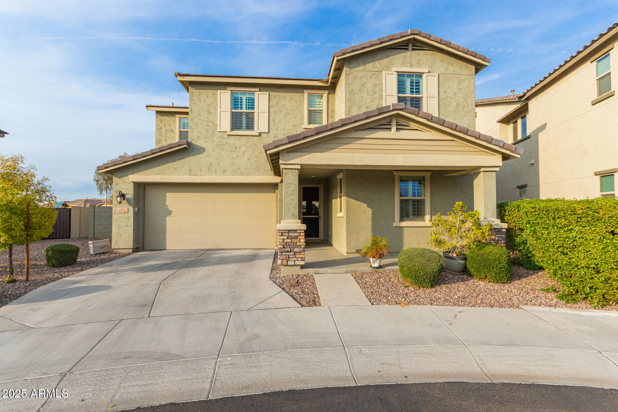
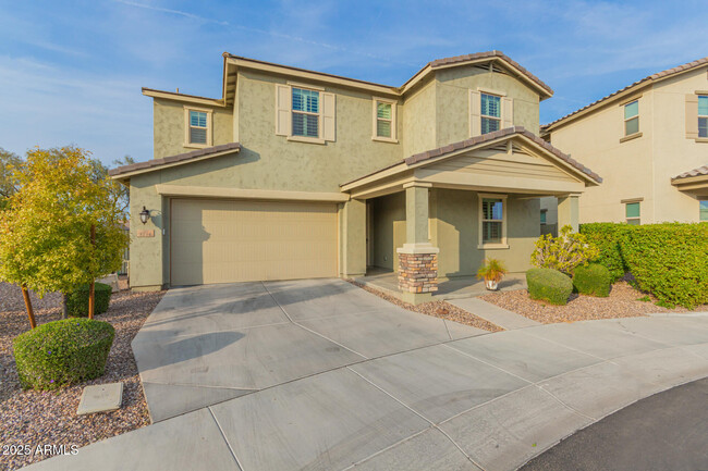
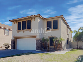
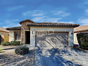
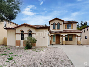
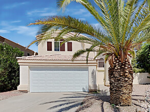
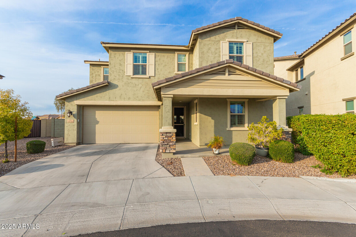
Homeowner listing home is also a licensed agent. Highly upgraded rental property conveniently located near freeway 202! Providing a 3-car garage,well-maintained front yard,& stone accents. Discover an appealing interior offering wood-look tile flooring,plantation shutters,stylish light fixtures,& a spacious great room w/sliding glass doors to the back patio. Modern chef's kitchen boasts plenty of cabinets w/crown molding,a walk-in pantry,SS appliances,granite counters,& an island w/a breakfast bar. Perfectly-sized loft can be a TV area. Carpeted main retreat comprises a spotless ensuite w/two vanities,separate shower & tub,& a walk-in closet. Enjoy the beauty of sunset under the covered patio in the backyard. Open houses to be held Jan 20 and 26.
8544 E Naranja Ave is a house located in Maricopa County and the 85209 ZIP Code.
Contact
 This Property
 Available Property
Wild brush and towering cacti resting beneath the steep slopes of nearby mountains, paint a beautiful picture of the natural landscapes found throughout East Mesa. In the southern region of the community is Phoenix Mesa Gateway Airport, which offers daily flights across the United States and Canada.
You can find many restaurants in and around East Mesa, including a Sonic Drive-In, Venezia’s New York Style Pizzeria, and Panda Express. Residents living in East Mesa enjoy the outdoor activities offered at Augusta Ranch Park, such as a playground, sand volleyball court, and walking trails.
Learn more about living in East Mesa| Colleges & Universities | Distance | ||
|---|---|---|---|
| Colleges & Universities | Distance | ||
| Drive: | 10 min | 4.9 mi | |
| Drive: | 12 min | 6.8 mi | |
| Drive: | 12 min | 7.1 mi | |
| Drive: | 13 min | 8.5 mi |
Transportation options available in Mesa include Gilbert Rd/Main St, located 12.5 miles from 8544 E Naranja Ave. 8544 E Naranja Ave is near Phoenix-Mesa Gateway, located 7.3 miles or 12 minutes away, and Phoenix Sky Harbor International, located 26.2 miles or 37 minutes away.
| Transit / Subway | Distance | ||
|---|---|---|---|
| Transit / Subway | Distance | ||
|
|
Drive: | 19 min | 12.5 mi |
|
|
Drive: | 19 min | 13.0 mi |
|
|
Drive: | 21 min | 13.9 mi |
|
|
Drive: | 22 min | 14.4 mi |
|
|
Drive: | 21 min | 14.9 mi |
| Commuter Rail | Distance | ||
|---|---|---|---|
| Commuter Rail | Distance | ||
|
|
Drive: | 51 min | 39.6 mi |
| Airports | Distance | ||
|---|---|---|---|
| Airports | Distance | ||
|
Phoenix-Mesa Gateway
|
Drive: | 12 min | 7.3 mi |
|
Phoenix Sky Harbor International
|
Drive: | 37 min | 26.2 mi |
Time and distance from 8544 E Naranja Ave.
| Shopping Centers | Distance | ||
|---|---|---|---|
| Shopping Centers | Distance | ||
| Walk: | 11 min | 0.6 mi | |
| Walk: | 19 min | 1.0 mi | |
| Drive: | 4 min | 1.9 mi |
| Parks and Recreation | Distance | ||
|---|---|---|---|
| Parks and Recreation | Distance | ||
|
Riparian Preserve at Water Ranch
|
Drive: | 9 min | 5.2 mi |
|
Red Mountain Park
|
Drive: | 11 min | 7.6 mi |
|
Usery Mountain Recreation Area
|
Drive: | 19 min | 10.5 mi |
| Hospitals | Distance | ||
|---|---|---|---|
| Hospitals | Distance | ||
| Drive: | 7 min | 3.8 mi | |
| Drive: | 10 min | 5.6 mi | |
| Drive: | 10 min | 5.7 mi |
| Military Bases | Distance | ||
|---|---|---|---|
| Military Bases | Distance | ||
| Drive: | 36 min | 26.9 mi | |
| Drive: | 65 min | 51.4 mi | |
| Drive: | 120 min | 98.4 mi |
You May Also Like
Similar Rentals Nearby
-
-
1 / 18
-
-
$2,5804 Beds, 2.5 Baths, 2,148 sq ftHouse for Rent
-
$2,5354 Beds, 2.5 Baths, 2,250 sq ftHouse for Rent
-
$2,2154 Beds, 2 Baths, 1,656 sq ftHouse for Rent
-
$2,1854 Beds, 2 Baths, 1,638 sq ftHouse for Rent
-
$2,7404 Beds, 2.5 Baths, 2,482 sq ftHouse for Rent
-
$2,4004 Beds, 2.5 Baths, 2,306 sq ftHouse for Rent
-
$2,7504 Beds, 2.5 Baths, 2,138 sq ftHouse for Rent
What Are Walk Score®, Transit Score®, and Bike Score® Ratings?
Walk Score® measures the walkability of any address. Transit Score® measures access to public transit. Bike Score® measures the bikeability of any address.
What is a Sound Score Rating?
A Sound Score Rating aggregates noise caused by vehicle traffic, airplane traffic and local sources
