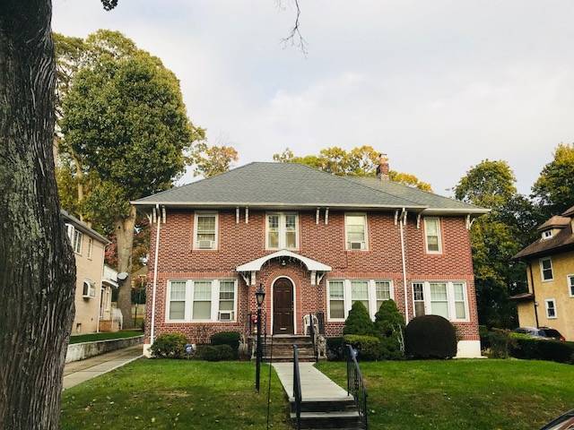
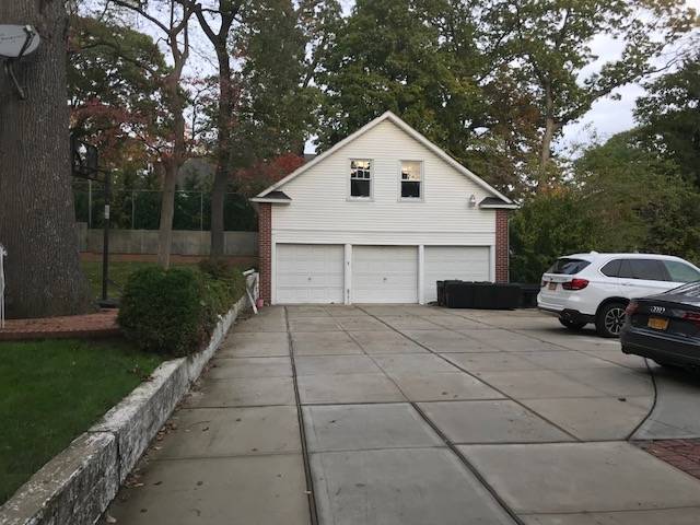
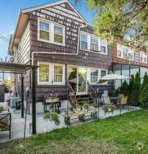
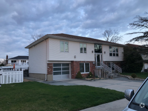
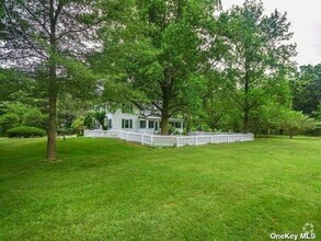
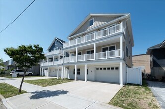
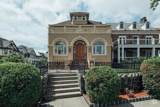
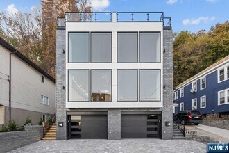
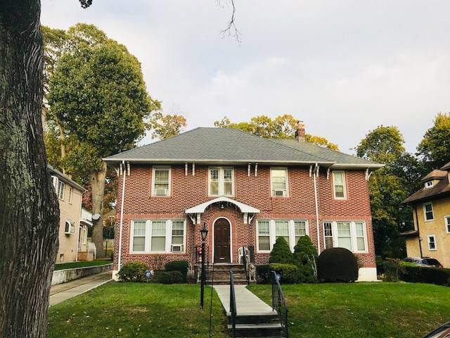
86-91-91 Palo Alto St
Queens, NY 11423
-
Bedrooms
7
-
Bathrooms
3.5
-
Square Feet
--
-
Available
Available Now
Highlights
- Hardwood Floors
- Fireplace
- Smoke Free

86-91-91 Palo Alto St is a house located in Queens County and the 11423 ZIP Code. This area is served by the New York City Geographic District #29 attendance zone.
House Features
Washer/Dryer
Dishwasher
Hardwood Floors
Refrigerator
- Washer/Dryer
- Smoke Free
- Fireplace
- Dishwasher
- Refrigerator
- Hardwood Floors
- Dining Room
Contact
- Listed by Peter Murdakhayev | NYStateMLS#NY
- Phone Number
- Contact
-
Source
NY State MLS
- Washer/Dryer
- Smoke Free
- Fireplace
- Dishwasher
- Refrigerator
- Hardwood Floors
- Dining Room
Northeast of Downtown Jamaica, you’ll discover a unique neighborhood amidst the bustling metropolis of Queens, New York. Holliswood is a wooded suburbia that blends into the lively urban streets of Jamaica, offering residents safe neighborhoods filled with towering trees.
Peaceful neighborhoods make way for walkable streets and a family-friendly atmosphere that attracts the majority of its residents. But instead of traditional sidewalks, the roads in Holliswood run circular, winding around large lots and spacious yards. Single-family homes and numerous apartment buildings line the streets of Holliswood, creating the image of a suburban oasis outside of a bustling business district.
Situated in east central Queens, the bustling boroughs of Brooklyn and Manhattan lie just an expressway away, roughly an hour of travel, making a reasonable commute for many of this neighborhood’s residents. Surrounded by St.
Learn more about living in Holliswood| Colleges & Universities | Distance | ||
|---|---|---|---|
| Colleges & Universities | Distance | ||
| Drive: | 6 min | 2.0 mi | |
| Drive: | 5 min | 2.5 mi | |
| Drive: | 9 min | 4.6 mi | |
| Drive: | 11 min | 4.7 mi |
 The GreatSchools Rating helps parents compare schools within a state based on a variety of school quality indicators and provides a helpful picture of how effectively each school serves all of its students. Ratings are on a scale of 1 (below average) to 10 (above average) and can include test scores, college readiness, academic progress, advanced courses, equity, discipline and attendance data. We also advise parents to visit schools, consider other information on school performance and programs, and consider family needs as part of the school selection process.
View GreatSchools Rating Methodology
Transportation options available in Queens include Jamaica-179 Street, located 0.9 mile from 86-91-91 Palo Alto St. 86-91-91 Palo Alto St is near John F Kennedy International, located 8.5 miles or 14 minutes away, and Laguardia, located 8.6 miles or 15 minutes away.
| Transit / Subway | Distance | ||
|---|---|---|---|
| Transit / Subway | Distance | ||
|
|
Walk: | 18 min | 0.9 mi |
|
|
Drive: | 3 min | 1.4 mi |
|
|
Drive: | 4 min | 2.0 mi |
|
|
Drive: | 5 min | 2.4 mi |
|
|
Drive: | 5 min | 2.4 mi |
| Commuter Rail | Distance | ||
|---|---|---|---|
| Commuter Rail | Distance | ||
|
|
Walk: | 15 min | 0.8 mi |
|
|
Walk: | 20 min | 1.1 mi |
|
|
Drive: | 8 min | 2.7 mi |
|
|
Drive: | 6 min | 2.7 mi |
|
|
Drive: | 6 min | 2.8 mi |
| Airports | Distance | ||
|---|---|---|---|
| Airports | Distance | ||
|
John F Kennedy International
|
Drive: | 14 min | 8.5 mi |
|
Laguardia
|
Drive: | 15 min | 8.6 mi |
Time and distance from 86-91-91 Palo Alto St.
| Shopping Centers | Distance | ||
|---|---|---|---|
| Shopping Centers | Distance | ||
| Drive: | 3 min | 1.3 mi | |
| Drive: | 4 min | 1.3 mi | |
| Drive: | 5 min | 1.7 mi |
| Parks and Recreation | Distance | ||
|---|---|---|---|
| Parks and Recreation | Distance | ||
|
Cunningham Park
|
Drive: | 5 min | 1.9 mi |
|
Detective Keith L. Williams Park
|
Drive: | 6 min | 2.1 mi |
|
Rufus King Park
|
Drive: | 6 min | 2.5 mi |
|
Roy Wilkins Recreation Center
|
Drive: | 8 min | 3.0 mi |
|
Alley Pond Park
|
Drive: | 9 min | 4.6 mi |
| Hospitals | Distance | ||
|---|---|---|---|
| Hospitals | Distance | ||
| Drive: | 5 min | 2.2 mi | |
| Drive: | 6 min | 3.0 mi | |
| Drive: | 6 min | 3.2 mi |
| Military Bases | Distance | ||
|---|---|---|---|
| Military Bases | Distance | ||
| Drive: | 12 min | 7.3 mi | |
| Drive: | 36 min | 17.3 mi |
You May Also Like
Similar Rentals Nearby
-
-
-
-
-
-
-
-
-
$12,0005 Beds, 5 Baths, 3,500 sq ftHouse for Rent
-
What Are Walk Score®, Transit Score®, and Bike Score® Ratings?
Walk Score® measures the walkability of any address. Transit Score® measures access to public transit. Bike Score® measures the bikeability of any address.
What is a Sound Score Rating?
A Sound Score Rating aggregates noise caused by vehicle traffic, airplane traffic and local sources
