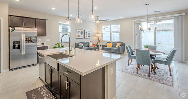
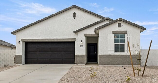
$10,500 / Month
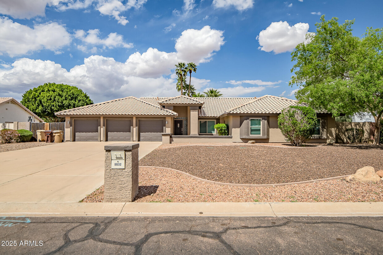
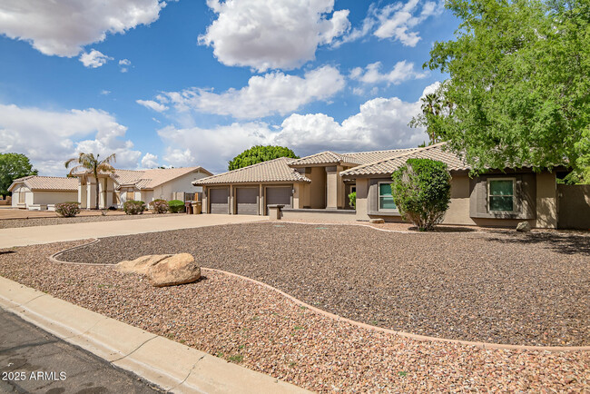
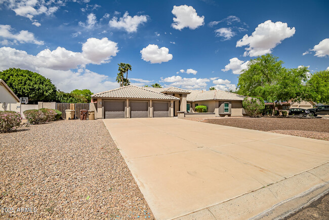
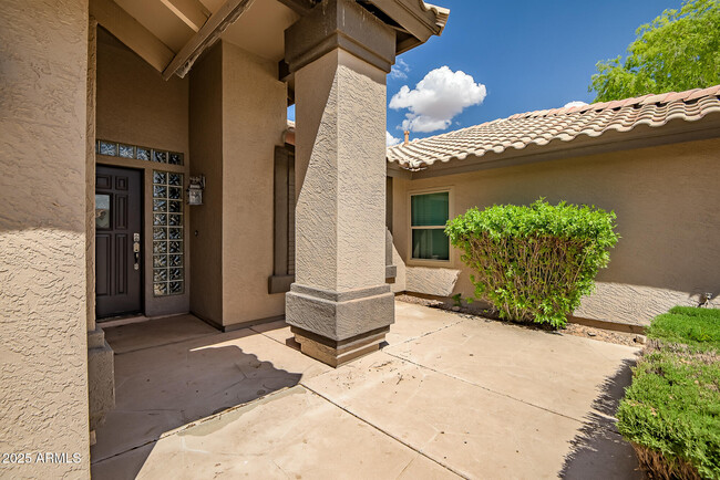
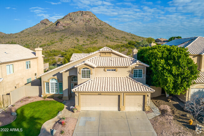
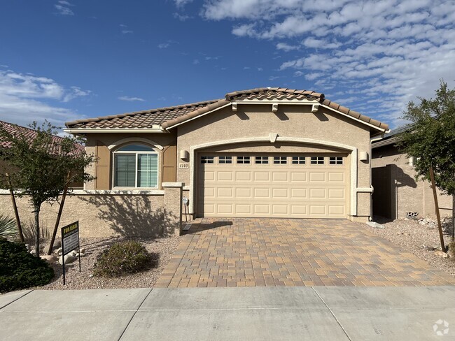
8632 W Via Montoya Dr
Peoria, AZ 85383
Today
Favorites
480-900-7202
-
Bedrooms
6
-
Bathrooms
4
-
Square Feet
2,501 sq ft
-
Available
Available Now
8632 W Via Montoya Dr

Favorites
Contact
- Listed by Nick Blue | Urban Blue Realty,LLC
- Phone Number
- Contact
-
Source
Arizona Regional MLS
Copyright 2025 Arizona Regional MLS. All rights reserved. Information is deemed reliable but not guaranteed.
Location
Get Directions
On the north side of Peoria sits the hiking town of North Peoria. A large residential community, North Peoria is located near everything from shopping to restaurants and big-city attractions. The Lake Pleasant Towne Center hosts a variety of food and retail stores, including Panera Bread, El Pollo Loco, Kohl’s, and Tuesday Morning.
Avid hikers love North Peoria for its hiking trails! The Sunrise Mountain Trail, located on the Sunrise Mountain Preserve, is a moderate four-mile loop with scenic views of the neighborhood. For even more trails, residents can venture out to the Peoria Regional Preserve. The nearness to Phoenix attractions and the convenience to Interstate 17 attracts renters.
Learn more about living in North Peoria
Education
| Colleges & Universities | Distance | ||
|---|---|---|---|
| Colleges & Universities | Distance | ||
| Drive: | 10 min | 5.1 mi | |
| Drive: | 12 min | 5.2 mi | |
| Drive: | 18 min | 8.2 mi | |
| Drive: | 20 min | 10.3 mi |
8632 W Via Montoya Dr is within 12 minutes or 5.2 miles from Midwestern University. It is also near Glendale C.C., North Campus and Thunderbird, West Campus.
Transportation options available in Peoria include 19Th Ave/Dunlap, located 17.0 miles from 8632 W Via Montoya Dr. 8632 W Via Montoya Dr is near Phoenix Sky Harbor International, located 31.3 miles or 45 minutes away.
| Transit / Subway | Distance | ||
|---|---|---|---|
| Transit / Subway | Distance | ||
|
|
Drive: | 25 min | 17.0 mi |
|
|
Drive: | 26 min | 18.0 mi |
|
|
Drive: | 27 min | 18.6 mi |
|
|
Drive: | 28 min | 19.7 mi |
|
|
Drive: | 31 min | 21.0 mi |
| Airports | Distance | ||
|---|---|---|---|
| Airports | Distance | ||
|
Phoenix Sky Harbor International
|
Drive: | 45 min | 31.3 mi |
Time and distance from 8632 W Via Montoya Dr.
| Shopping Centers | Distance | ||
|---|---|---|---|
| Shopping Centers | Distance | ||
| Walk: | 12 min | 0.7 mi | |
| Walk: | 13 min | 0.7 mi | |
| Drive: | 3 min | 1.4 mi |
8632 W Via Montoya Dr has 3 shopping centers within 1.4 miles, which is about a 3-minute walk. The miles and minutes will be for the farthest away property.
| Parks and Recreation | Distance | ||
|---|---|---|---|
| Parks and Recreation | Distance | ||
|
Challenger Space Center
|
Drive: | 2 min | 1.1 mi |
|
Deem Hills Recreation Area
|
Drive: | 10 min | 5.2 mi |
|
Adobe Dam Regional Park
|
Drive: | 14 min | 6.6 mi |
|
Paseo Highlands Park
|
Drive: | 16 min | 7.8 mi |
|
Adobe Mountain Park
|
Drive: | 16 min | 9.3 mi |
8632 W Via Montoya Dr has 5 parks within 9.3 miles, including Challenger Space Center, Deem Hills Recreation Area, and Adobe Dam Regional Park.
| Hospitals | Distance | ||
|---|---|---|---|
| Hospitals | Distance | ||
| Drive: | 10 min | 4.9 mi | |
| Drive: | 17 min | 9.0 mi | |
| Drive: | 18 min | 9.0 mi |
8632 W Via Montoya Dr has 3 hospitals within 9.0 miles, the nearest is Arrowhead Hospital which is 4.9 miles away and a 10 minute drive.
| Military Bases | Distance | ||
|---|---|---|---|
| Military Bases | Distance | ||
| Drive: | 25 min | 16.6 mi | |
| Drive: | 45 min | 31.2 mi | |
| Drive: | 106 min | 79.6 mi |
8632 W Via Montoya Dr has 3 military bases within 79.6 miles, the nearest is Luke Air Force Base which is 16.6 miles away and a 25 minute drive.
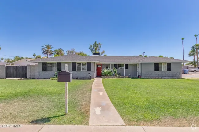
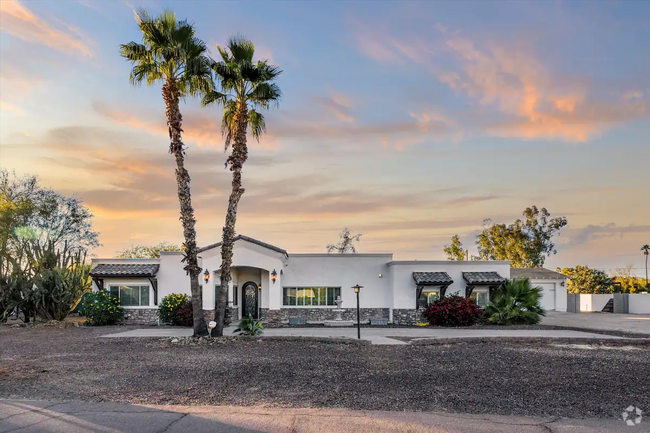
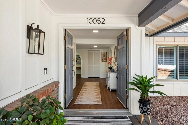
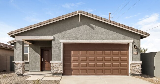
You May Also Like
Similar Rentals Nearby
-
-
-
-
-
-
-
-
-
-
1 / 31
What Are Walk Score®, Transit Score®, and Bike Score® Ratings?
Walk Score® measures the walkability of any address. Transit Score® measures access to public transit. Bike Score® measures the bikeability of any address.
What is a Sound Score Rating?
A Sound Score Rating aggregates noise caused by vehicle traffic, airplane traffic and local sources

8632 W Via Montoya Dr
Peoria, AZ 85383