
$1,955 / Month
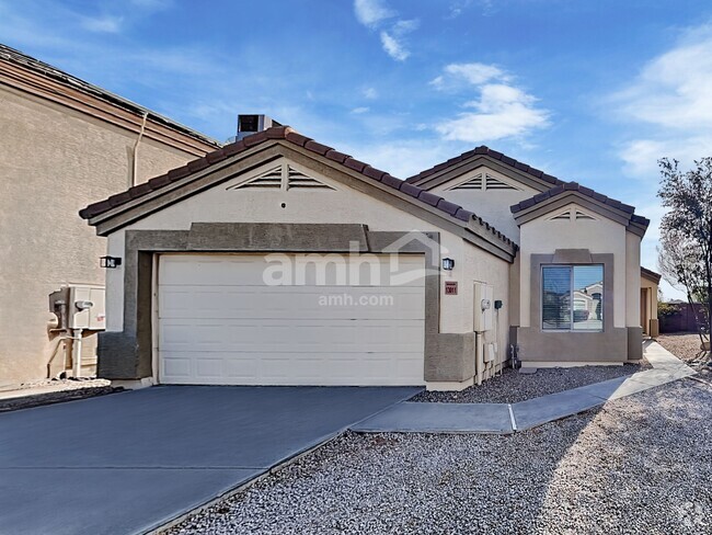
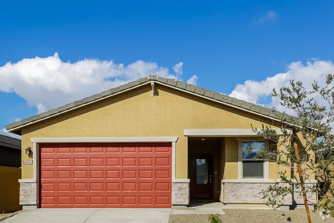
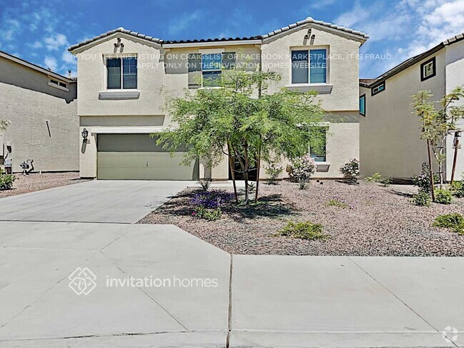
8643 N 112th Ave
Peoria, AZ 85345
Today
Favorites
602-772-3820
-
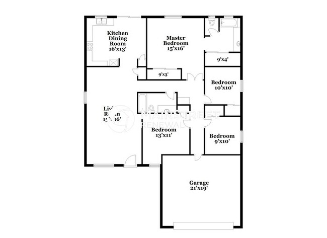
Bedrooms
4
-
Bathrooms
2
-
Square Feet
1,500 sq ft
-
Available
Available Feb 14
Highlights
- Pets Allowed
- Balcony
- Patio
8643 N 112th Ave

Favorites
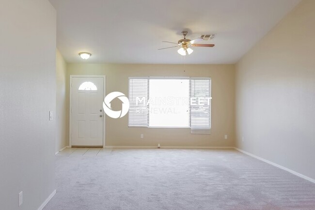
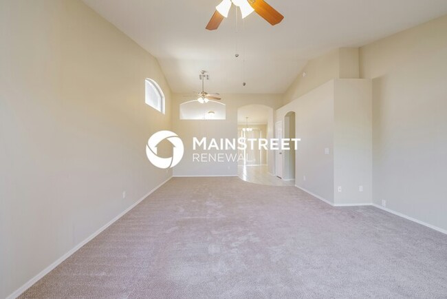
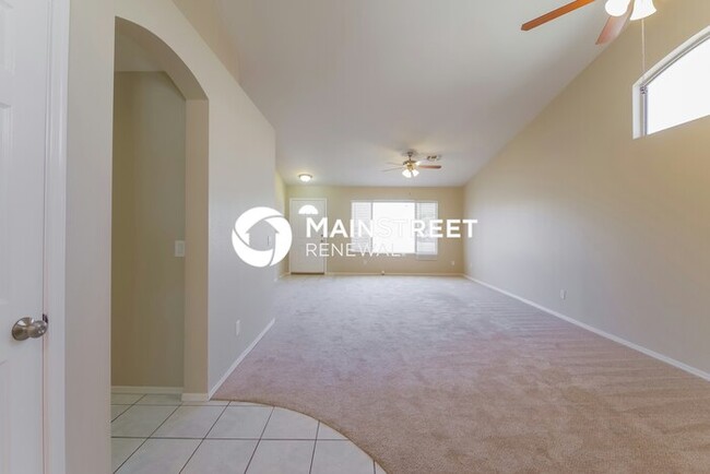
About This Home
Available Feb 14
Beautiful, pet-friendly home coming soon! Apply now, Move-In is available on or after the listed date. Upon approval, $500 reservation deposit to reserve (applied to security deposit and/or refundable). Application fee: $50 per adult. Security Deposit: one month’s rent. Pet fees: $250 + $35/mo per pet. Some homes may include pool ($150/mo), septic ($15/mo), and/or HOA fees; other fees may apply. We do not advertise on Craigslist or ask for payments via check, cash, wire transfer, or cash apps. Contact us to schedule a showing.
8643 N 112th Ave is a house located in Maricopa County and the 85345 ZIP Code.
* Price shown is base rent and may not include non-optional fees and utilities.
Price, availability, fees, and any applicable rent special are subject to change without notice.
* Square footage definitions vary. Displayed square footage is approximate.
House Features
- Microwave
- Refrigerator
- Balcony
- Patio
Contact
- Listed by MSR
- Phone Number (602) 772-3820
- Contact
Location
Get Directions
Amenities
- Microwave
- Refrigerator
- Balcony
- Patio
Extending south from West Peoria Avenue to West Northern Avenue, South Peoria provides easy access to Highway 101, Peoria Town Center, Sun City, Arizona State University West Campus, and Glendale Community College. Once named one of the best places to live in the US, Peoria offers a vibrant downtown with plenty to see and do. Catch a live performance at the Center for the Performing Arts or Theater Works, cheer on local sports teams at the Peoria Sports Complex, and enjoy exploring the shops along Bell Road.
Taking full advantage of the sunshine, desert landscape, and palm trees, South Peoria’s parks provide a range of outdoor activities for residents to enjoy. Thunderbird Park provides trails for walking and biking along the canal, a playground, disc golf course, and more. Those with pets will appreciate Sunnyslope Dog Park, located at the corner of West Olive Avenue and North 71st Avenue.
Learn more about living in South Peoria
Education
| Colleges & Universities | Distance | ||
|---|---|---|---|
| Colleges & Universities | Distance | ||
| Drive: | 16 min | 7.3 mi | |
| Drive: | 16 min | 8.5 mi | |
| Drive: | 21 min | 11.0 mi | |
| Drive: | 22 min | 11.6 mi |
8643 N 112th Ave is within 16 minutes or 7.3 miles from Glendale Community College. It is also near Estrella Mountain Comm. Coll. and Thunderbird, West Campus.
Transportation options available in Peoria include 19Th Ave/Dunlap, located 12.5 miles from 8643 N 112th Ave. 8643 N 112th Ave is near Phoenix Sky Harbor International, located 26.5 miles or 37 minutes away.
| Transit / Subway | Distance | ||
|---|---|---|---|
| Transit / Subway | Distance | ||
|
|
Drive: | 25 min | 12.5 mi |
|
|
Drive: | 26 min | 12.9 mi |
|
|
Drive: | 26 min | 13.5 mi |
|
|
Drive: | 27 min | 13.5 mi |
|
|
Drive: | 28 min | 14.2 mi |
| Airports | Distance | ||
|---|---|---|---|
| Airports | Distance | ||
|
Phoenix Sky Harbor International
|
Drive: | 37 min | 26.5 mi |
Time and distance from 8643 N 112th Ave.
| Shopping Centers | Distance | ||
|---|---|---|---|
| Shopping Centers | Distance | ||
| Drive: | 4 min | 1.5 mi | |
| Drive: | 4 min | 1.9 mi | |
| Drive: | 5 min | 2.0 mi |
8643 N 112th Ave has 3 shopping centers within 2.0 miles, which is about a 5-minute drive. The miles and minutes will be for the farthest away property.
| Parks and Recreation | Distance | ||
|---|---|---|---|
| Parks and Recreation | Distance | ||
|
Wildlife World Zoo
|
Drive: | 14 min | 8.5 mi |
|
El Oso Park
|
Drive: | 18 min | 9.9 mi |
|
Friendship Park
|
Drive: | 21 min | 10.8 mi |
|
Challenger Space Center
|
Drive: | 19 min | 11.8 mi |
|
Maryvale Park
|
Drive: | 23 min | 12.6 mi |
8643 N 112th Ave has 5 parks within 12.6 miles, including Wildlife World Zoo, El Oso Park, and Friendship Park.
| Hospitals | Distance | ||
|---|---|---|---|
| Hospitals | Distance | ||
| Drive: | 10 min | 4.5 mi | |
| Drive: | 16 min | 8.1 mi | |
| Drive: | 14 min | 8.4 mi |
8643 N 112th Ave has 3 hospitals within 8.4 miles, the nearest is Banner Boswell Medical Center which is 4.5 miles away and a 10 minutes drive.
| Military Bases | Distance | ||
|---|---|---|---|
| Military Bases | Distance | ||
| Drive: | 10 min | 5.0 mi | |
| Drive: | 38 min | 26.4 mi | |
| Drive: | 94 min | 68.3 mi |
8643 N 112th Ave has 3 military bases within 68.3 miles, the nearest is Luke Air Force Base which is 5.0 miles away and a 10 minutes .
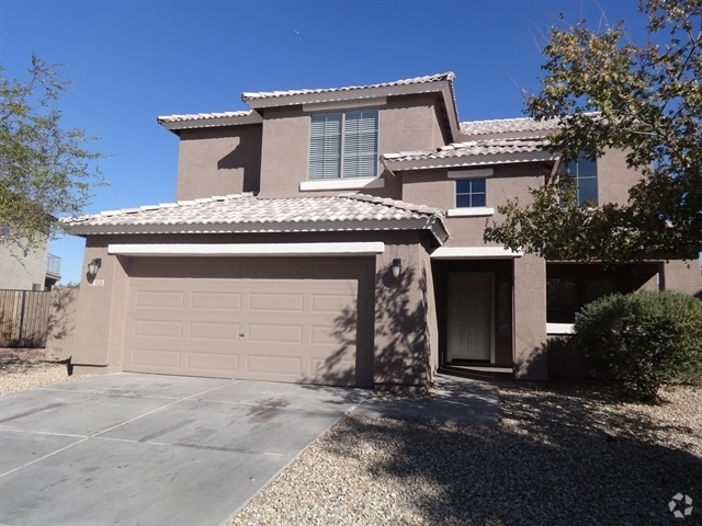
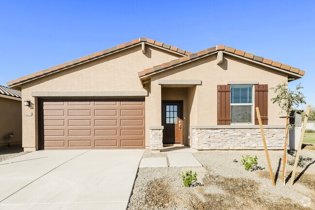
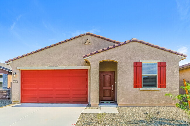
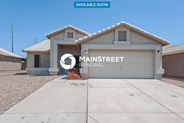
You May Also Like
Similar Rentals Nearby
-
-
-
-
-
-
-
-
-
-
1 / 34
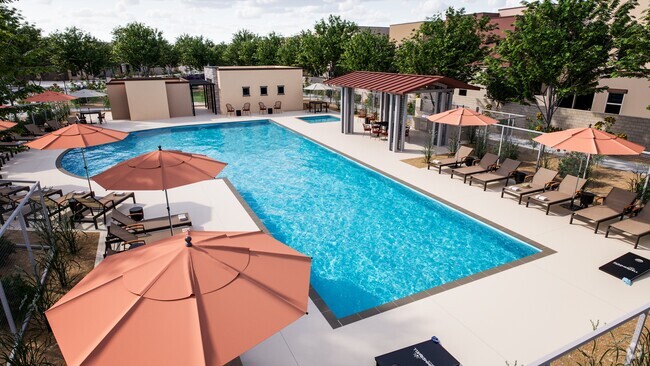 Single-Family Homes Specials
Pets Allowed Pool Kitchen In Unit Washer & Dryer Walk-In Closets EV Charging
What Are Walk Score®, Transit Score®, and Bike Score® Ratings?
Walk Score® measures the walkability of any address. Transit Score® measures access to public transit. Bike Score® measures the bikeability of any address.
What is a Sound Score Rating?
A Sound Score Rating aggregates noise caused by vehicle traffic, airplane traffic and local sources
8643 N 112th Ave
Peoria, AZ 85345