$1,350 / Month
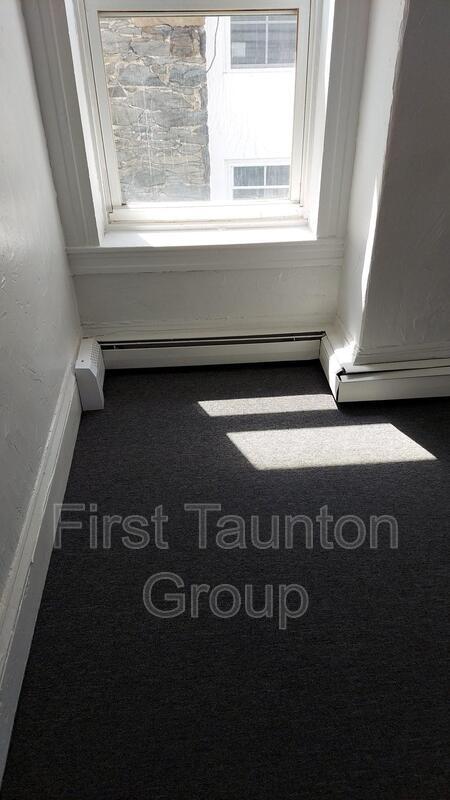
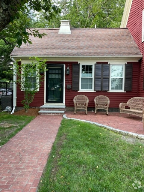
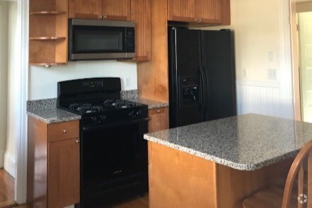
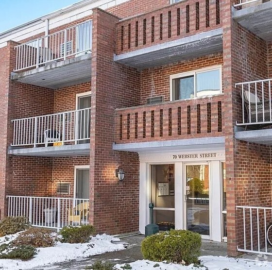
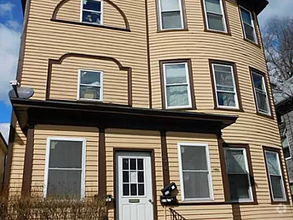
9 Cedar St Unit 2 left
Taunton, MA 02780
2 Weeks Ago
Favorites
9 Cedar St Unit 2 left

Favorites
Check Back Soon for Upcoming Availability
| Beds | Baths | Average SF |
|---|---|---|
| 1 Bedroom 1 Bedroom 1 Br | 1 Bath 1 Bath 1 Ba | 675 SF |
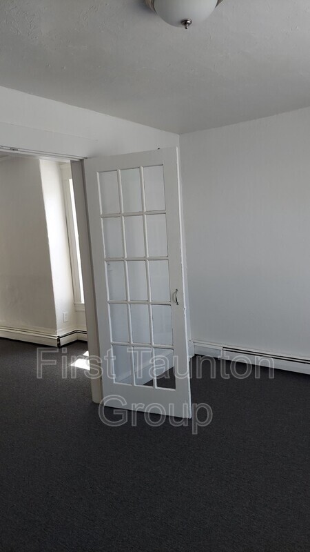
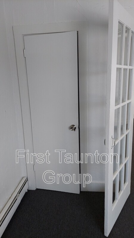
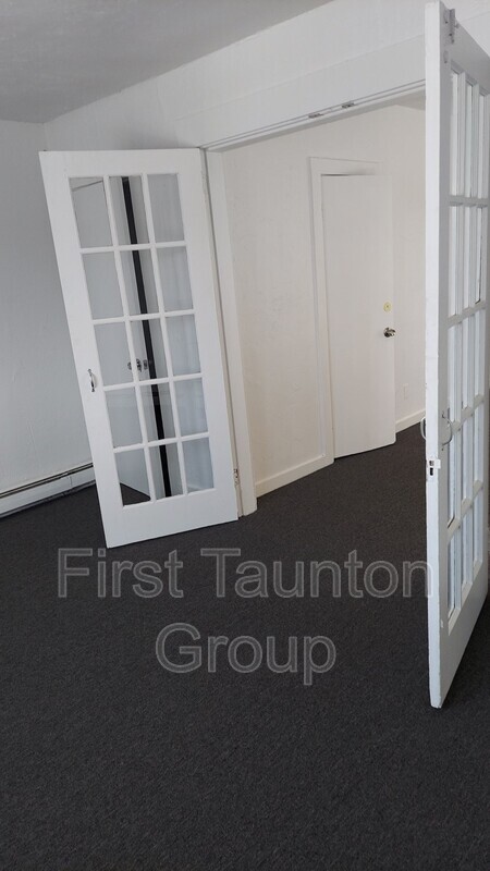
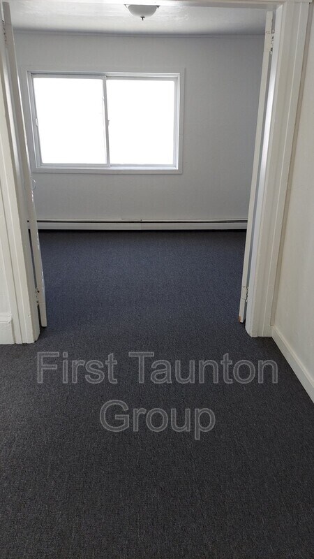
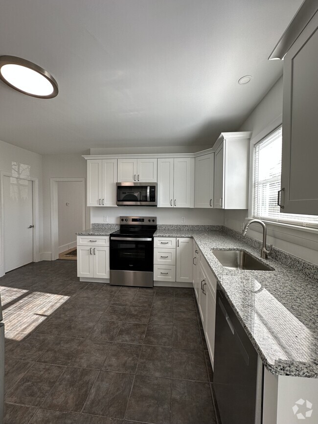
About This Property
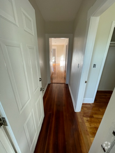
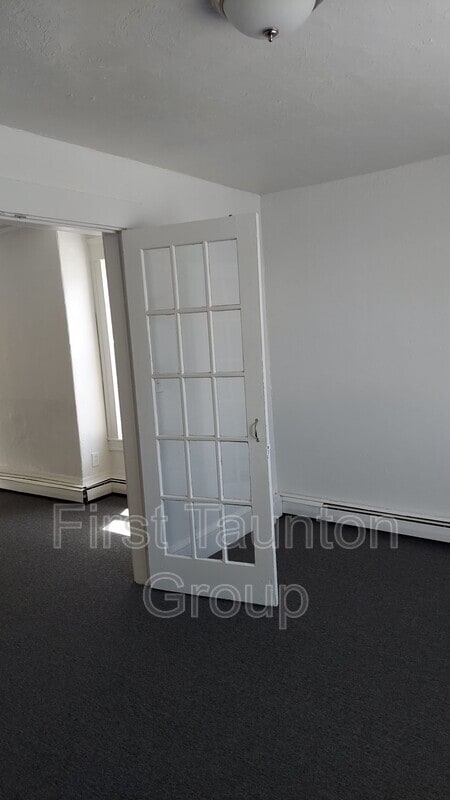
One-bedroom unit, 2nd floor of an 8-unit building. $1,350 a month, no utilities included. One off-street parking space included, dumpster for trash, on-site laundry available. Small pets okay, 2-pet maximum. There are no application fees and we will not run your credit until you see the unit you like. • Before we can schedule a viewing, you must submit a rental application (free of charge). Here is the link to our online application:
9 Cedar St is a condo located in Bristol County and the 02780 ZIP Code. This area is served by the Taunton attendance zone.
Location
Get Directions
Expenses
Utilities Included
Gas, Electricity
Included
Education
| Colleges & Universities | Distance | ||
|---|---|---|---|
| Colleges & Universities | Distance | ||
| Drive: | 16 min | 8.1 mi | |
| Drive: | 19 min | 11.1 mi | |
| Drive: | 22 min | 12.1 mi | |
| Drive: | 25 min | 16.5 mi |
9 Cedar St Unit 2 left is within 16 minutes or 8.1 miles from Wheaton College, Norton. It is also near Bridgewater State University and Stonehill College.
Schools


Public Elementary School
Grades PK-4
479 Students
Nearby
Public Elementary & Middle School
Grades 5-7
494 Students
Attendance Zone
Public Elementary School
Grades K-4
577 Students
Attendance Zone
Public Middle & High School
Grades 8-12
2,760 Students
Attendance Zone
Private Elementary, Middle & High School
Grades 5-12
257 Students
Nearby
Private Elementary School
Grades PK-5
175 Students
Nearby
Private Elementary & Middle School
Grades 5-8
207 Students
Nearby
School data provided by
 The GreatSchools Rating helps parents compare schools within a state based on a variety of school quality indicators and provides a helpful picture of how effectively each school serves all of its students. Ratings are on a scale of 1 (below average) to 10 (above average) and can include test scores, college readiness, academic progress, advanced courses, equity, discipline and attendance data. We also advise parents to visit schools, consider other information on school performance and programs, and consider family needs as part of the school selection process.
View GreatSchools Rating Methodology
View GreatSchools Rating Methodology
Transportation options available in Taunton include Braintree Station, located 27.2 miles from 9 Cedar St Unit 2 left. 9 Cedar St Unit 2 left is near Rhode Island Tf Green International, located 25.5 miles or 43 minutes away, and General Edward Lawrence Logan International, located 40.2 miles or 56 minutes away.
| Transit / Subway | Distance | ||
|---|---|---|---|
| Transit / Subway | Distance | ||
|
|
Drive: | 41 min | 27.2 mi |
|
|
Drive: | 39 min | 28.6 mi |
|
|
Drive: | 41 min | 29.9 mi |
|
|
Drive: | 42 min | 30.1 mi |
|
|
Drive: | 41 min | 30.1 mi |
| Commuter Rail | Distance | ||
|---|---|---|---|
| Commuter Rail | Distance | ||
|
|
Drive: | 17 min | 9.8 mi |
|
|
Drive: | 22 min | 11.9 mi |
|
|
Drive: | 24 min | 12.3 mi |
|
|
Drive: | 24 min | 13.9 mi |
|
|
Drive: | 25 min | 15.2 mi |
| Airports | Distance | ||
|---|---|---|---|
| Airports | Distance | ||
|
Rhode Island Tf Green International
|
Drive: | 43 min | 25.5 mi |
|
General Edward Lawrence Logan International
|
Drive: | 56 min | 40.2 mi |
Time and distance from 9 Cedar St Unit 2 left.
| Shopping Centers | Distance | ||
|---|---|---|---|
| Shopping Centers | Distance | ||
| Walk: | 11 min | 0.6 mi | |
| Walk: | 19 min | 1.0 mi | |
| Drive: | 4 min | 1.6 mi |
9 Cedar St Unit 2 left has 3 shopping centers within 1.6 miles, which is about a 4-minute walk. The miles and minutes will be for the farthest away property.
| Parks and Recreation | Distance | ||
|---|---|---|---|
| Parks and Recreation | Distance | ||
|
Boyden Refuge
|
Drive: | 5 min | 2.8 mi |
|
Massasoit State Park
|
Drive: | 21 min | 7.6 mi |
|
Dighton Rock State Park
|
Drive: | 20 min | 9.8 mi |
|
Freetown - Fall River State Forest
|
Drive: | 16 min | 9.9 mi |
|
Mass Audubon's Oak Knoll Wildlife Sanctuary
|
Drive: | 22 min | 10.0 mi |
9 Cedar St Unit 2 left has 5 parks within 10.0 miles, including Boyden Refuge, Massasoit State Park, and Dighton Rock State Park.
| Hospitals | Distance | ||
|---|---|---|---|
| Hospitals | Distance | ||
| Walk: | 9 min | 0.5 mi | |
| Walk: | 15 min | 0.8 mi | |
| Drive: | 16 min | 9.7 mi |
9 Cedar St Unit 2 left has 3 hospitals within 9.7 miles, the nearest is Morton Hospital which is 0.5 mile away and a 9 minute walk.
| Military Bases | Distance | ||
|---|---|---|---|
| Military Bases | Distance | ||
| Drive: | 58 min | 37.8 mi |
9 Cedar St Unit 2 left is 37.8 miles and a 58 minute drive from Rhode Island National Gaurd.
You May Also Like
Similar Rentals Nearby

What Are Walk Score®, Transit Score®, and Bike Score® Ratings?
Walk Score® measures the walkability of any address. Transit Score® measures access to public transit. Bike Score® measures the bikeability of any address.
What is a Sound Score Rating?
A Sound Score Rating aggregates noise caused by vehicle traffic, airplane traffic and local sources
9 Cedar St
Taunton, MA 02780